Plizio Visual Lab
Mount Tamun
Weather…
Water temperature…
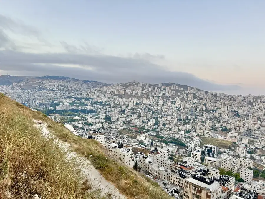
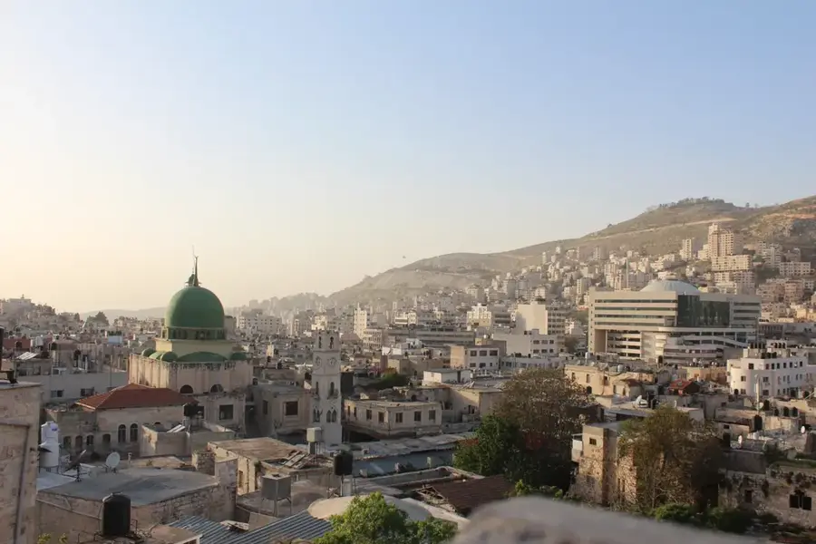
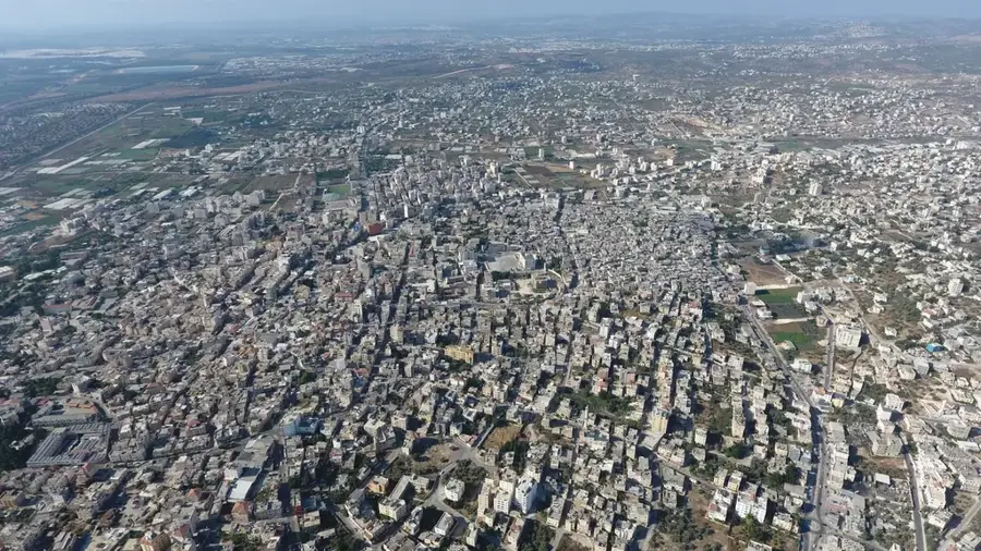
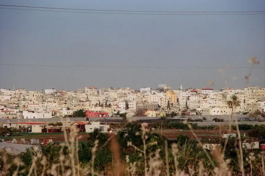
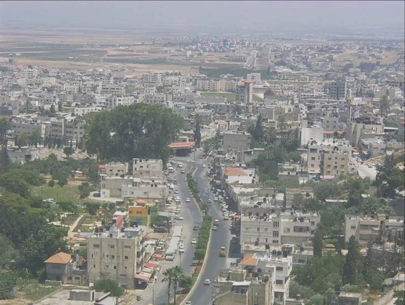
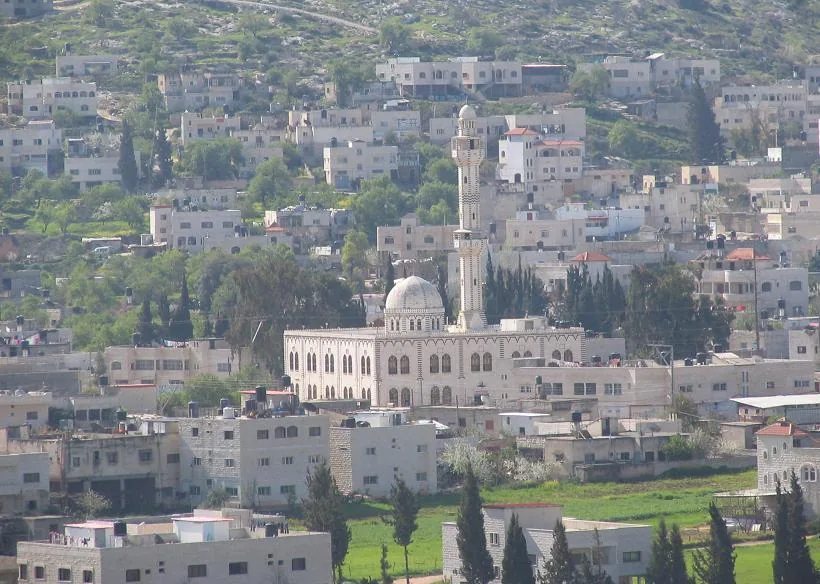
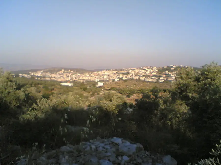
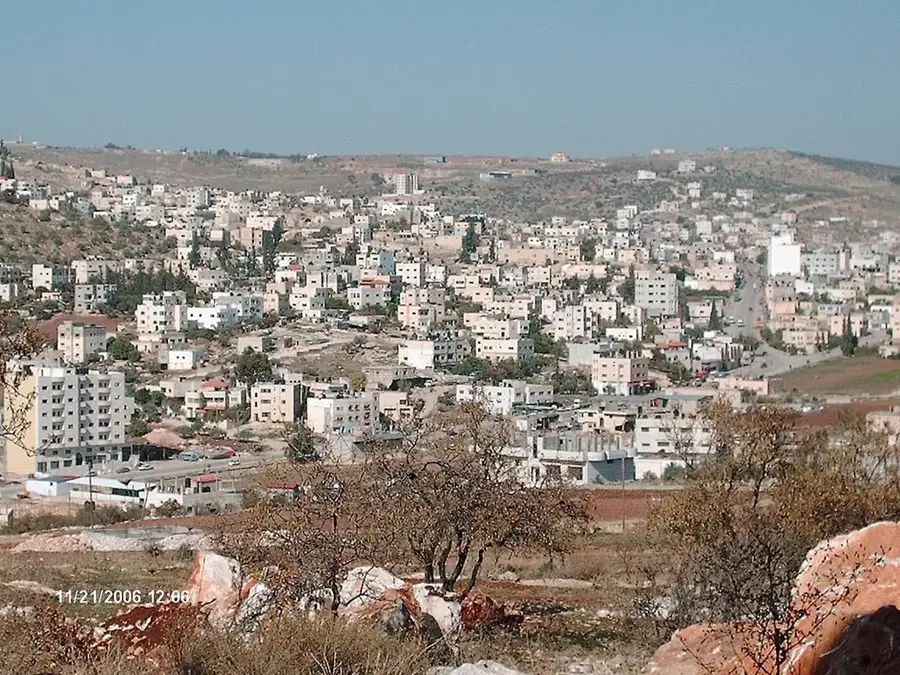
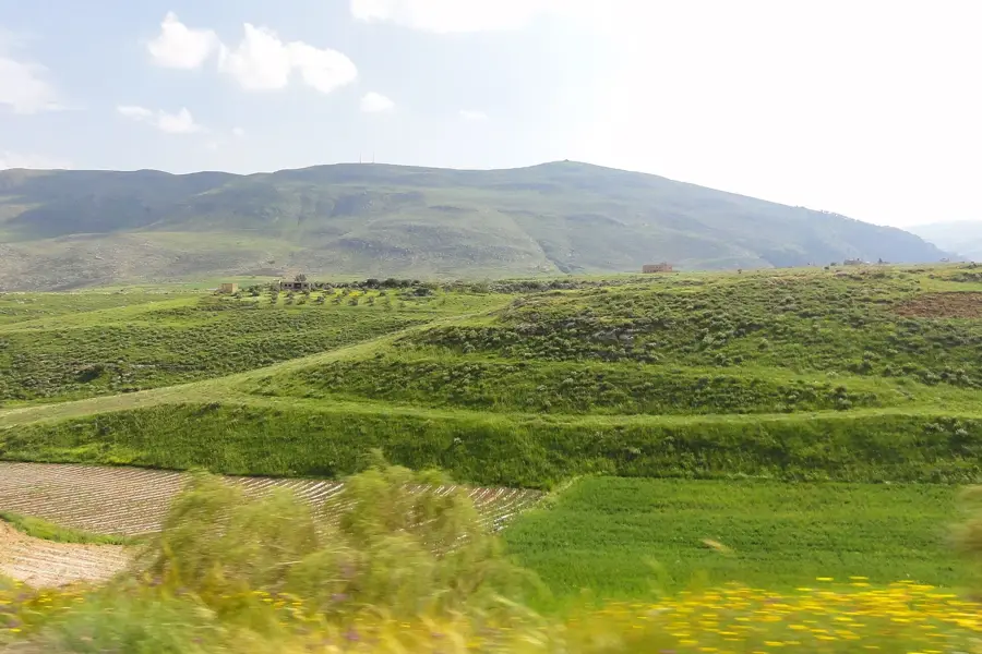
Mount Tamun is a striking geographical feature located in northeastern Samaria, near the town of Tubas. Rising to an elevation of about 550 meters, the mountain dominates the local skyline and provides commanding views of the lush Far'a Valley, a critical agricultural hub. The mountain's topography is defined by rugged limestone outcrops and steep, rocky slopes sparsely covered with resilient Mediterranean flora. For the residents of the nearby village of Tamun, the mountain is a vital landmark and a place of deep local significance. During the spring months, the arid slopes bloom with a variety of wildflowers, attracting local naturalists and hikers. The ascent to the summit is popular for those seeking solitude and panoramic vistas that stretch all the way toward the Jordan Valley on a clear day. Mount Tamun is a convenient spot for visitors looking to experience the raw, unpolished beauty of the Northern Palestinian highlands. Its quiet trails and dramatic relief offer a unique perspective on the region's diverse landscape, far removed from the more crowded historical sites.
- Location: Palestinian Territories
- Top sights: el 'Unuq · Tell Miske · Alnasareah
- Nearby: Tamun (4 km)
Best time to visit & climate
The most pleasant time to visit is Apr, May, Oct.
| Jan | Feb | Mar | Apr | May | Jun | Jul | Aug | Sep | Oct | Nov | Dec | |
|---|---|---|---|---|---|---|---|---|---|---|---|---|
| Avg °C | 11 | 12 | 15 | 19 | 23 | 27 | 29 | 29 | 27 | 24 | 18 | 13 |
| Rain mm | 93 | 79 | 40 | 20 | 6 | 1 | 0 | 1 | 2 | 12 | 40 | 79 |
📋 Practical info
Geography
Facts
- Located in the Tubas Governorate of the northeastern West Bank.
- The average elevation is approximately 580 meters above sea level.
- Provides a strategic vantage point over the central Jordan Valley.
- The geological structure consists primarily of Cretaceous limestone.
- The surrounding area has been used for grain farming since antiquity.
- The local climate features hot summers and mild, wet winters.
Explore nearby
Notable places around
Route planner — Car & Motorhome
Where do you start? We build the route here, with stops and country notes along the way.
© OpenStreetMap contributors · OpenRouteService
Sights in the town Mount Tamun (3)
Sights nearby
Frequently asked questions
Is Mount Tamun well-known?
What is the difficulty level?
Are there amenities at the starting point?
Is the peak freely accessible?
When is the best time for flora observation?
Mount Tamun: where is it located?
Mount Tamun: what is there to see?
Mount Tamun: when is the best time to visit?
Mount Tamun: why is it worth visiting?

Nearby cities