Plizio Visual Lab
Mount Munidhra

Weather…
Water temperature…
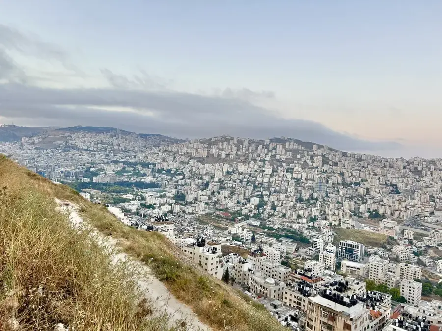
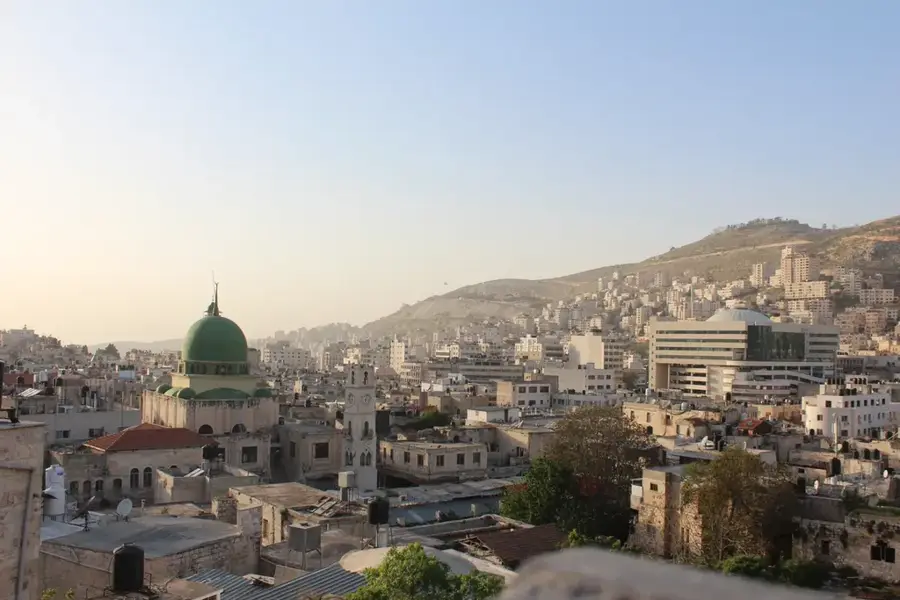
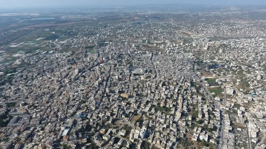
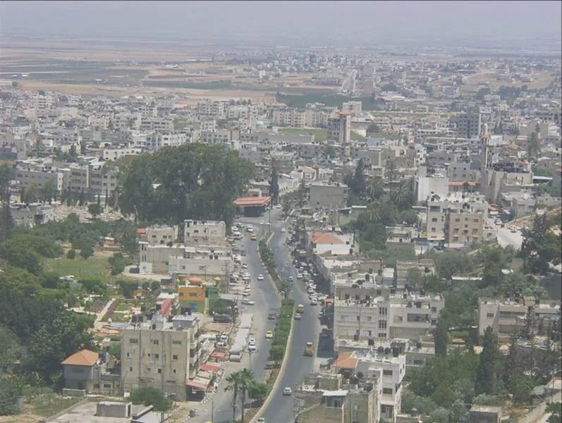
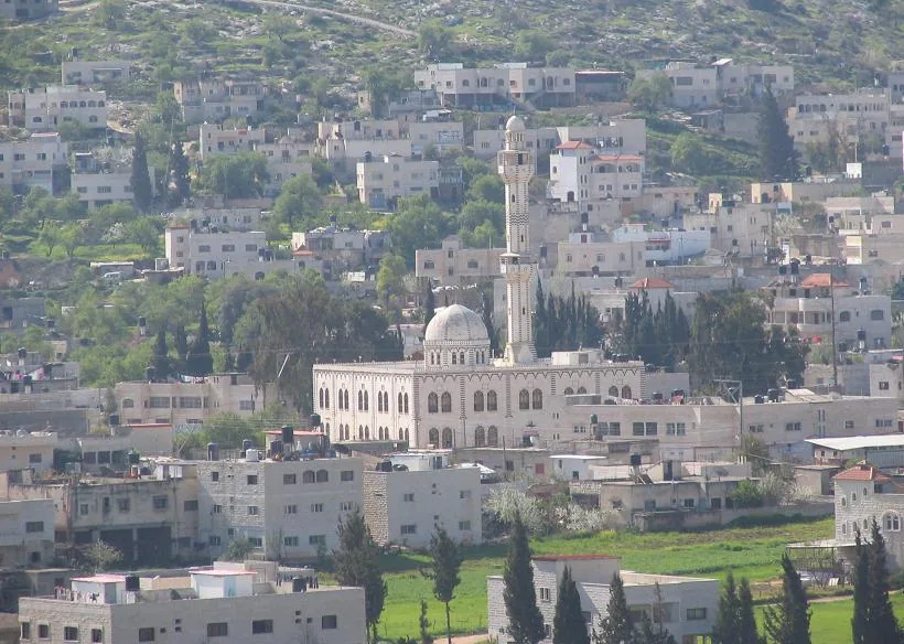
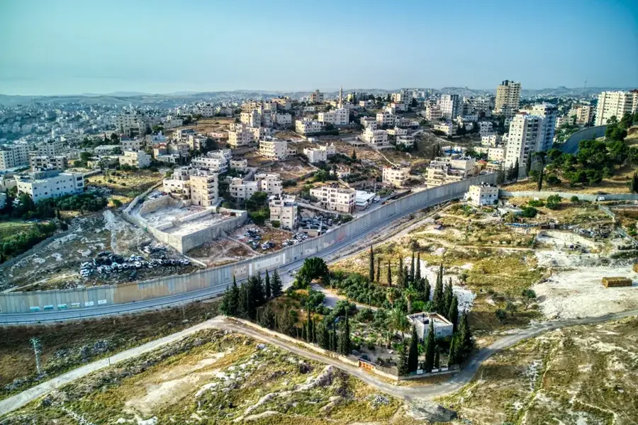
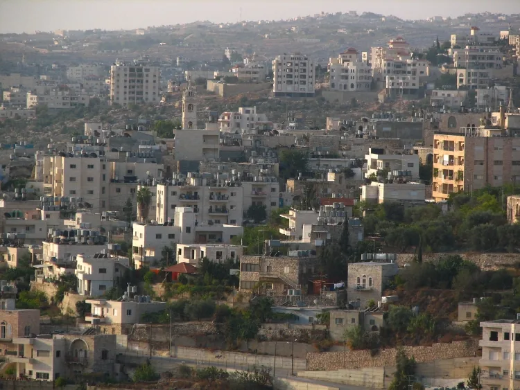
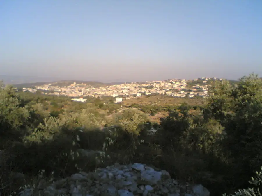
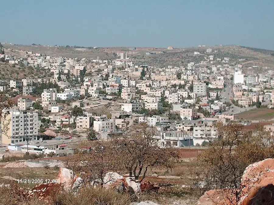
Mount Munidhra is a commanding peak located in Northern Samaria, rising prominently to the north of the historic city of Nablus. Part of the rugged central mountain range of Palestine, its topography is defined by steep limestone slopes and sharp ridgelines that provide a dramatic backdrop to the surrounding pastoral landscape. From its summit, the mountain has sweeping panoramic views that extend across the northern valleys and, on clear days, as far as the mountains of Galilee. Throughout history, its height and central location have made it a significant strategic observation point. The lower reaches of Mount Munidhra are terraced and blanketed with extensive olive groves, some of which are centuries old, representing the agricultural heart of the local villages. The terrain is a mix of rocky outcrops and resilient Mediterranean scrub, offering a challenging yet rewarding experience for hikers and those interested in the geomorphology of the region. Its stark beauty and panoramic reach make it a quintessential example of the enduring and rugged character of the Samarian highlands.
- Location: Palestinian Territories
- Top sights: Siris' Oaks · Salah Al-Din Al-Ayubi Mosque · Al-Bir Waltaqwa mosque
- Nearby: Tubas (7 km)
Best time to visit & climate
The most pleasant time to visit is Apr, May, Oct.
| Jan | Feb | Mar | Apr | May | Jun | Jul | Aug | Sep | Oct | Nov | Dec | |
|---|---|---|---|---|---|---|---|---|---|---|---|---|
| Avg °C | 11 | 12 | 15 | 19 | 23 | 27 | 29 | 29 | 27 | 24 | 18 | 13 |
| Rain mm | 93 | 79 | 40 | 20 | 6 | 1 | 0 | 1 | 2 | 12 | 40 | 79 |
📋 Practical info
Geography
Facts
- Located in the Nablus Governorate of the central West Bank.
- Composed geologically of hard limestone and dolomite rocks.
- The surrounding area is dominated by traditional olive groves.
- The region features a high density of ancient water cisterns.
- Part of the drainage divide between the Mediterranean and Jordan Valley.
- Archaeological surface finds indicate habitation since the Iron Age.
Explore nearby
Notable places around
Route planner — Car & Motorhome
Where do you start? We build the route here, with stops and country notes along the way.
© OpenStreetMap contributors · OpenRouteService
Sights in the town Mount Munidhra (4)
Sights nearby
Frequently asked questions
Is Mount Munidhra a tourist attraction?
Is the hiking trail well-marked?
Is there parking?
Is the area safe?
What is the best season?
Mount Munidhra: where is it located?
Mount Munidhra: what is there to see?
Mount Munidhra: when is the best time to visit?
Mount Munidhra: why is it worth visiting?

Nearby cities