Plizio Visual Lab
Mount Kabir
Weather…
Water temperature…
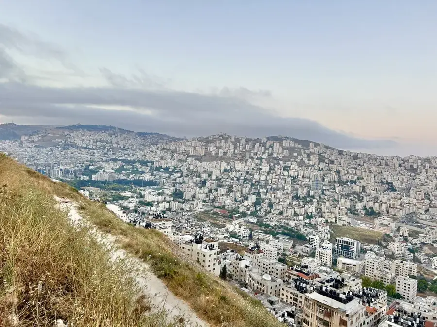
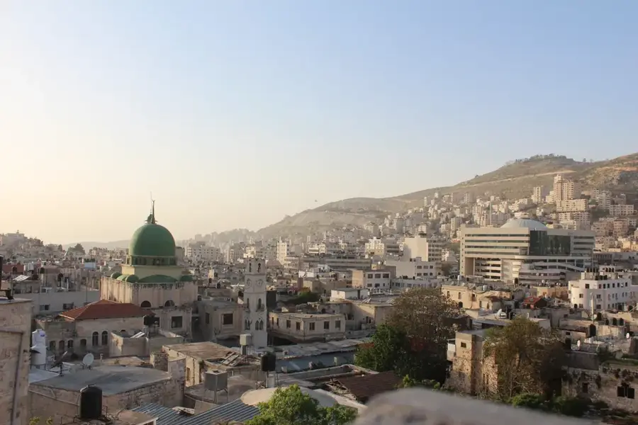
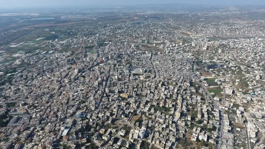
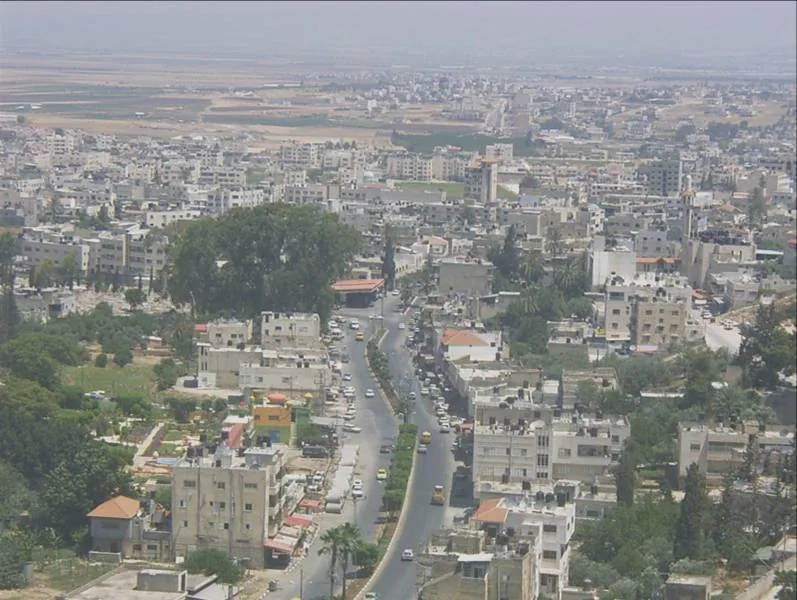
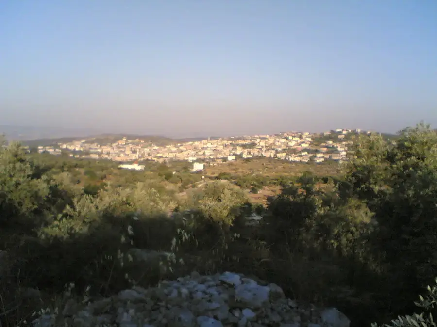
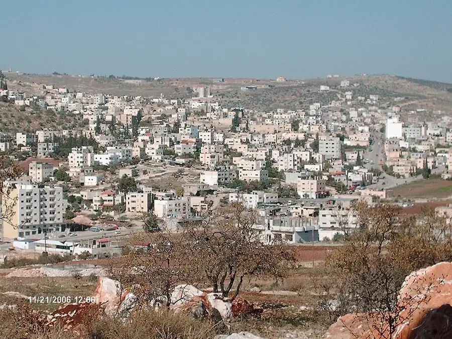
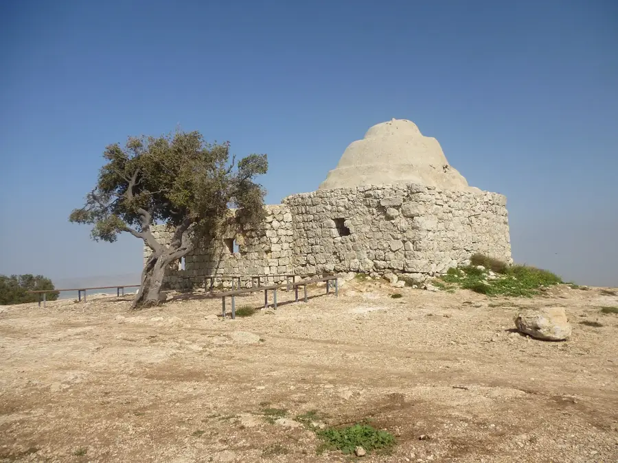
Mount Kabir rises east of Nablus, serving as a prominent landmark in the northern Samarian highlands. At an elevation of 792 meters, it commands sweeping views across the Jordan Valley toward the mountains of Jordan. The mountain's rugged limestone terrain is covered with traditional Mediterranean scrubland, hosting a variety of endemic plant species. Locally, the peak is known for the shrine of Sheikh Bilal, adding a layer of cultural significance to the natural site. Hikers frequent the mountain for its challenging trails and the opportunity to witness the dramatic transition from the central highlands to the deep depression of the Jordan Rift Valley, making it one of the premier viewpoints in the West Bank.
- Location: Palestinian Territories
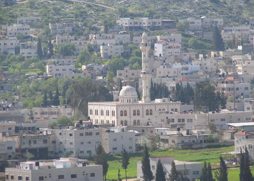
- Top sights: Benyo Lookout · Khirbet Tana el Fauqa · Omar Bin Al-Khattab Mosque
- Nearby: Tamun (8 km)
Best time to visit & climate
The most pleasant time to visit is Apr, May, Oct.
| Jan | Feb | Mar | Apr | May | Jun | Jul | Aug | Sep | Oct | Nov | Dec | |
|---|---|---|---|---|---|---|---|---|---|---|---|---|
| Avg °C | 11 | 13 | 16 | 20 | 24 | 28 | 30 | 30 | 28 | 24 | 18 | 14 |
| Rain mm | 63 | 58 | 32 | 15 | 6 | 1 | 0 | 1 | 1 | 8 | 29 | 52 |
📋 Practical info
Geography
Facts
- Maximum altitude of 792 meters
- Views of the Jordan Valley and the mountains of Gilead
- Presence of rare iris species in the area
- Part of the Kabir mountain range in northern Samaria
- Popular destination for hiking and nature observation
- Average annual rainfall of about 600 mm
Explore nearby
Notable places around
Route planner — Car & Motorhome
Where do you start? We build the route here, with stops and country notes along the way.
© OpenStreetMap contributors · OpenRouteService
Sights in the town Mount Kabir (5)
Sights nearby
Frequently asked questions
Is Mount Kabir suitable for hikers?
How is the best way to get there?
Does one need to be fit?
Are there viewpoints there?
Should one take water?
Mount Kabir: where is it located?
Mount Kabir: what is there to see?
Mount Kabir: when is the best time to visit?
Mount Kabir: why is it worth visiting?

Nearby cities