Plizio Visual Lab
Nablus Valley

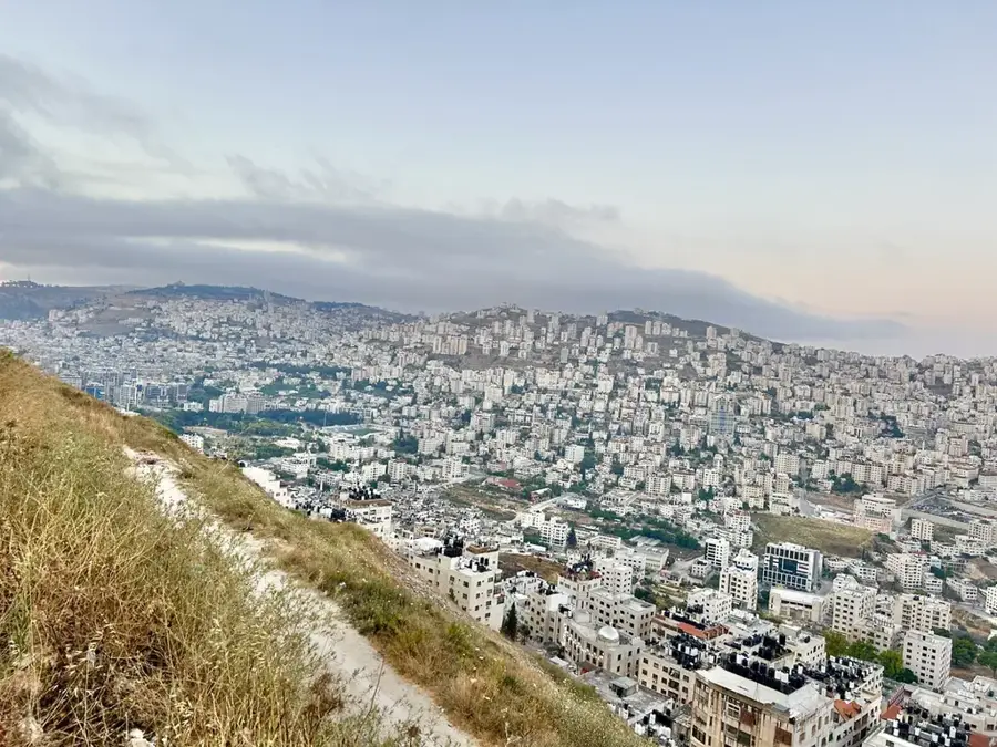
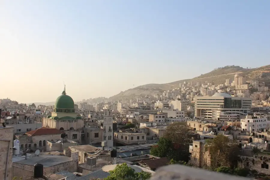
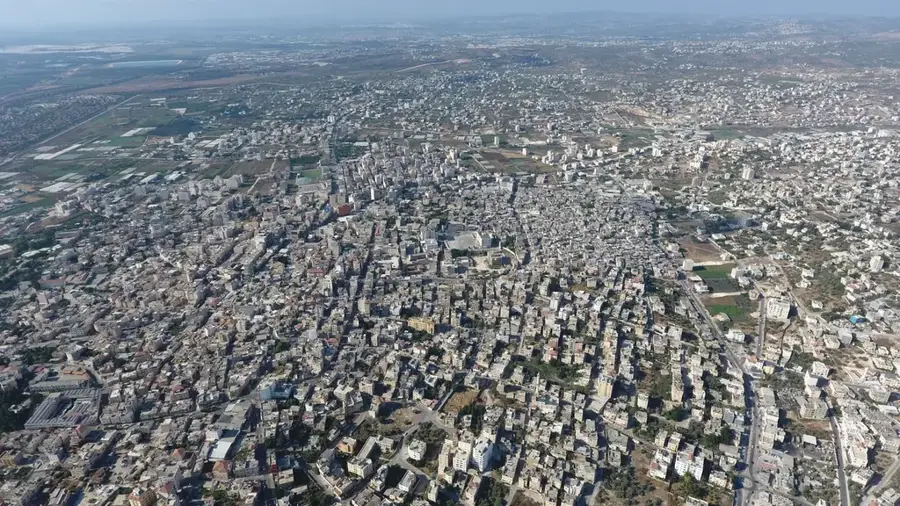
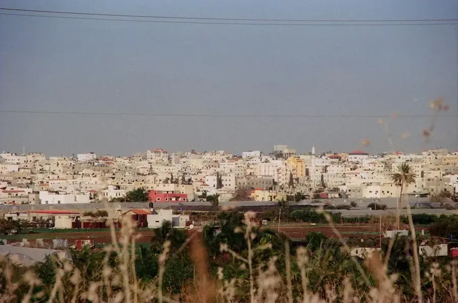
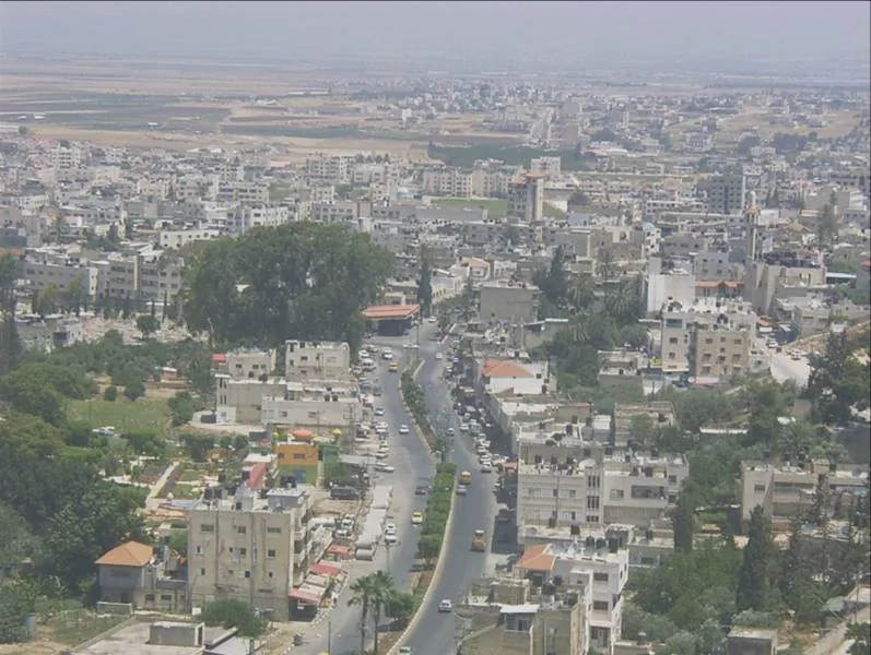
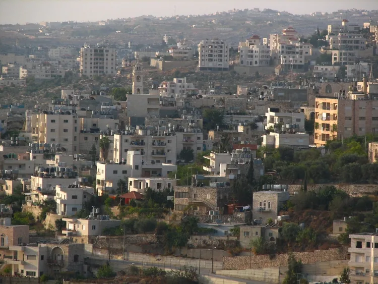
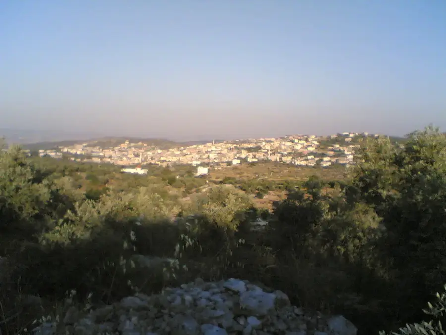
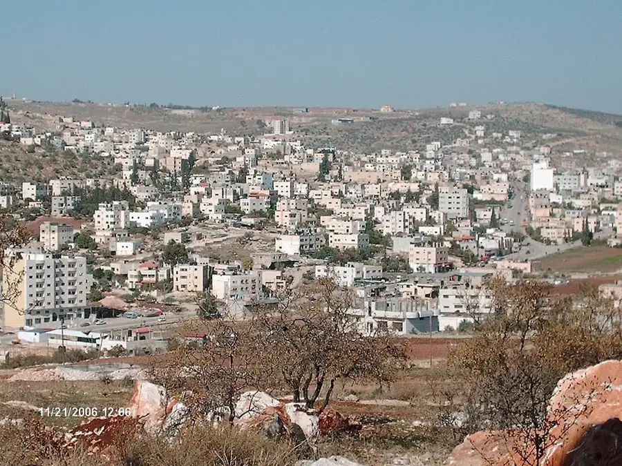
The Nablus Valley is a geographically and historically vital depression tucked away between the towering twin peaks of Mount Gerizim and Mount Ebal. This unique position creates a natural corridor that has served as a major crossroads for trade and travel since antiquity, hosting the ancient biblical city of Shechem. The valley is exceptionally well-watered, home to over twenty perennial springs that sustain lush orchards of olives, figs, and citrus fruits. Known for its agricultural productivity, the valley floor and its terraced slopes represent centuries of traditional Palestinian farming expertise. The dramatic contrast between the deep valley and the surrounding high ridges provides some of the most striking scenery in the West Bank. Beyond its natural beauty, the valley is a site of immense cultural significance, housing sacred sites and providing the economic foundation for the nearby city of Nablus, famous for its olive oil and soap industries that rely on the valley's bountiful harvests.
- Location: Palestinian Territories
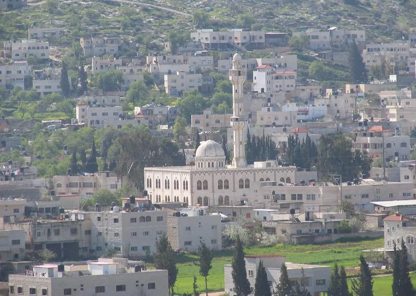
- Top sights: Hamman as-Shifa · Salah Al-Din Mosque · Masjid Al-Haj Fareed Haddadeh
- Nearby: Jaba' Throne Village (10 km)
Best time to visit & climate
The most pleasant time to visit is Apr, May, Oct.
| Jan | Feb | Mar | Apr | May | Jun | Jul | Aug | Sep | Oct | Nov | Dec | |
|---|---|---|---|---|---|---|---|---|---|---|---|---|
| Avg °C | 11 | 13 | 16 | 20 | 24 | 28 | 30 | 30 | 28 | 24 | 18 | 14 |
| Rain mm | 63 | 58 | 32 | 15 | 6 | 1 | 0 | 1 | 1 | 8 | 29 | 52 |
📋 Practical info
Geography
Facts
- Enclosed by mountains over 880 meters high
- Home to more than 20 permanent springs
- Site of the ancient city of Shechem
- Center of traditional olive oil soap production
- Geological formation of limestone and chalk
- Average annual temperature of 18 degrees Celsius
Explore nearby
Notable places around
Route planner — Car & Motorhome
Where do you start? We build the route here, with stops and country notes along the way.
© OpenStreetMap contributors · OpenRouteService
Sights in the town Nablus Valley (3)
Sights nearby
Frequently asked questions
When is the best time to visit Nablus Valley?
Is hiking in the valley safe?
Are there marked hiking trails?
Is there an entry fee for the nature area?
Are there food options in the valley?
Nablus Valley: where is it located?
Nablus Valley: what is there to see?
Nablus Valley: when is the best time to visit?
Nablus Valley: why is it worth visiting?

Nearby cities