Plizio Visual Lab
Mount Gerizim Nature Area
Weather…
Water temperature…
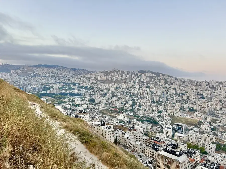
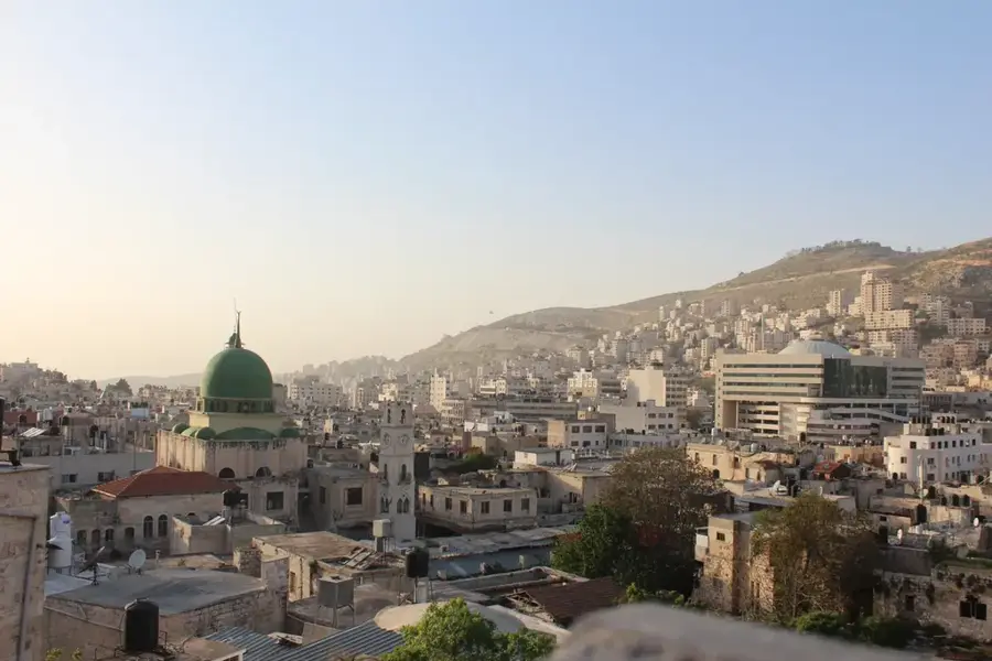
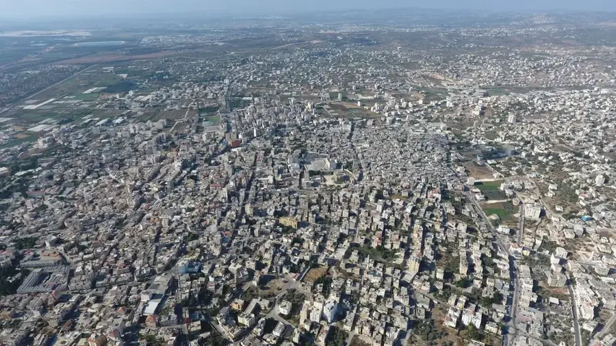
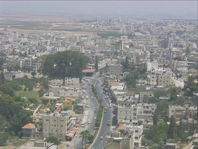
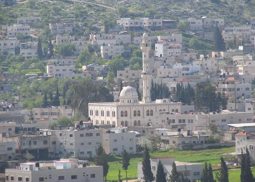
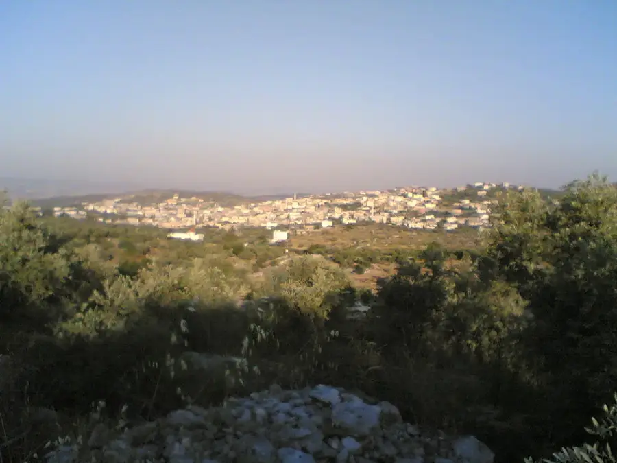
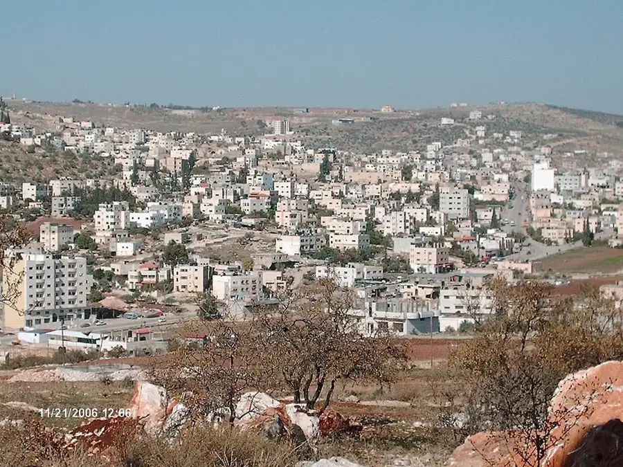
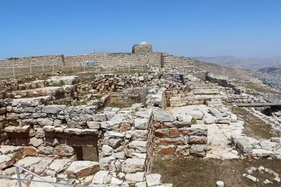
Mount Gerizim towers over the city of Nablus, reaching an elevation of approximately 881 meters. It is far more than a geographical landmark; it is the holiest site for the Samaritan community, who have maintained their religious traditions here for over two millennia. Ecologically, Mount Gerizim is a vital nature area characterized by its rugged limestone formation. This environment supports a diverse array of rare mountain flora and endemic wildflowers, making it a significant spot for botanical conservation. The mountain's slopes and plateaus provide a serene habitat for wildlife and offer hikers some of the most sweeping panoramic views in the region, overlooking the urban sprawl of Nablus and the vast Far'a Valley. Archaeological excavations on the peak have revealed the remains of a Samaritan temple complex and a Byzantine church, highlighting the layers of history embedded in the landscape. Visitors are drawn here not only for the spiritual atmosphere but also for the opportunity to explore a pristine natural environment that features a sharp contrast to the bustling markets below. It is a place where nature, faith, and history converge in a truly unique way.
- Location: Palestinian Territories
- Top sights: The Good Samaritan Centre · Samaritan Museum · Mount Gerizim
- Nearby: Jaba' Throne Village (12 km)
Best time to visit & climate
The most pleasant time to visit is Apr, May, Oct.
| Jan | Feb | Mar | Apr | May | Jun | Jul | Aug | Sep | Oct | Nov | Dec | |
|---|---|---|---|---|---|---|---|---|---|---|---|---|
| Avg °C | 11 | 13 | 16 | 20 | 24 | 28 | 30 | 30 | 28 | 24 | 18 | 14 |
| Rain mm | 63 | 58 | 32 | 15 | 6 | 1 | 0 | 1 | 1 | 8 | 29 | 52 |
📋 Practical info
Geography
Facts
- The mountain reaches an elevation of 881 meters.
- Samaritans celebrate their annual Passover feast here.
- Archaeologists found remains of a massive fortified complex.
- Ruins of a 5th-century Church of Mary stand on the summit.
- The village of Kiryat Luza is home to the Samaritan community.
- The mountain is situated directly opposite Mount Ebal.
Explore nearby
Notable places around
Route planner — Car & Motorhome
Where do you start? We build the route here, with stops and country notes along the way.
© OpenStreetMap contributors · OpenRouteService
Sights in the town Mount Gerizim Nature Area (4)
Samaritan Museum🏛 museum
Museum on Mount Gerizim presenting Samaritan culture and history.
Mount Gerizim
Mountain in Judea and Samaria Area, Palestine, sacred to Samaritans.
Mount Garizim National Park
National park on Mount Gerizim, protecting nature and historical sites.
Sights nearby
Frequently asked questions
Why is Mount Gerizim significant?
Can one visit the Samaritan sites?
What is the view from the summit like?
Is the climb difficult?
Should one be culturally mindful of clothing?
Mount Gerizim Nature Area: where is it located?
Mount Gerizim Nature Area: what is there to see?
Mount Gerizim Nature Area: when is the best time to visit?
Mount Gerizim Nature Area: why is it worth visiting?

Nearby cities