Plizio Visual Lab
Mount Salman
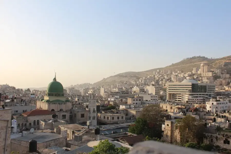
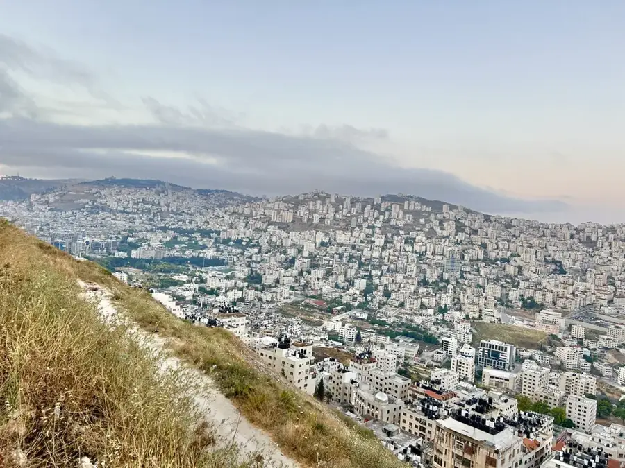
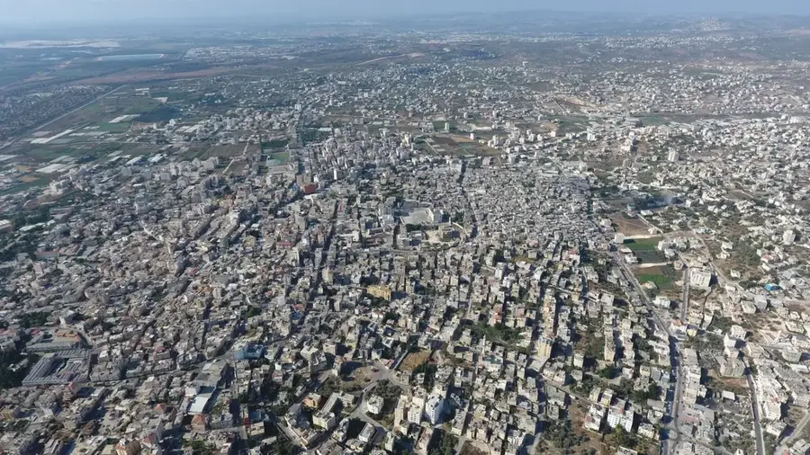
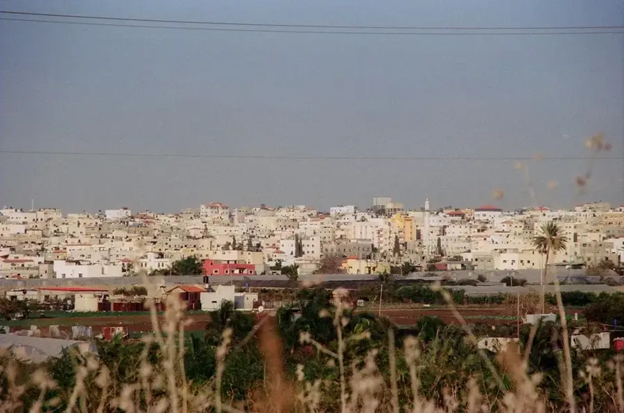
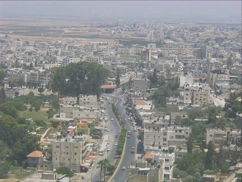
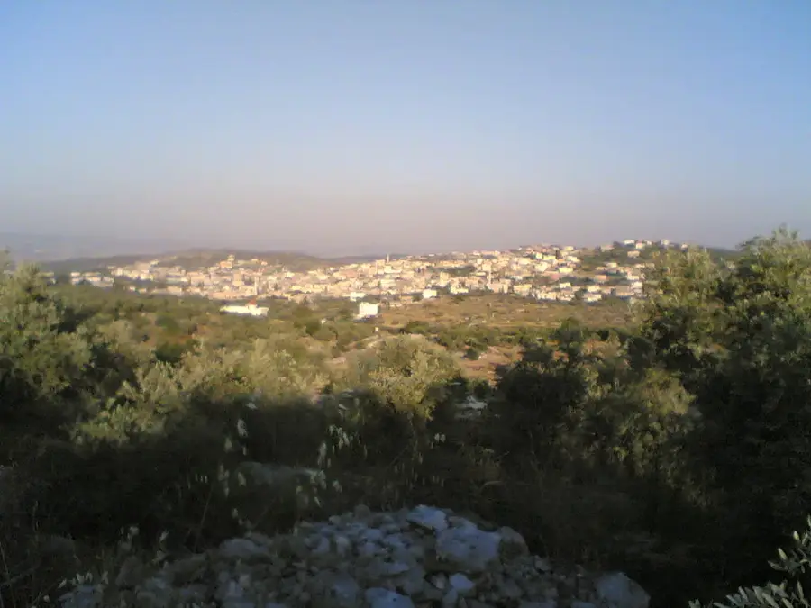
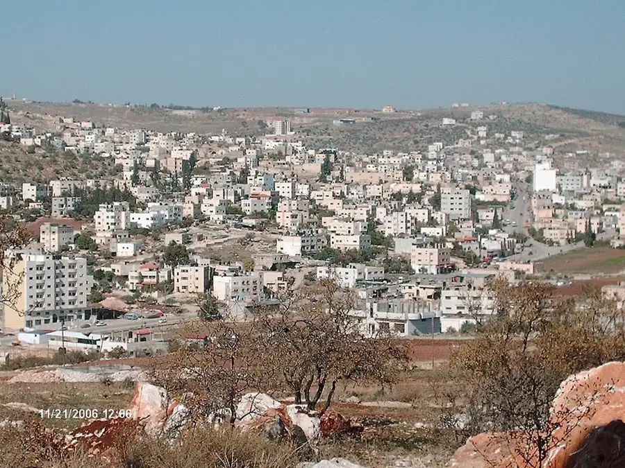
Mount Salman is a prominent elevation located west of Nablus, forming an integral part of the central Samarian massif in Palestine. Reaching a height of approximately 750 meters, the mountain is characterized by its rugged, rocky terrain and steep limestone slopes typical of the highland relief. The summit areas are predominantly stark and windswept, featuring karst formations and sparse Mediterranean vegetation. However, the lower slopes are often terraced and adorned with ancient olive groves, showcasing the region's enduring agricultural heritage. Geologically, Mount Salman is composed of layers of limestone and dolomite, which contribute to the area's complex groundwater systems and local springs. The mountain serves as a significant geographical landmark, offering expansive views over the surrounding valleys and the historic city of Nablus. Its elevation provides a cooler climate compared to the Jordan Valley, supporting a variety of hardy flora. For hikers and geographers, Mount Salman presents an opportunity to study the folded mountain structures of the region while experiencing the quiet, enduring beauty of the Samarian highlands.
- Location: Palestinian Territories
- Top sights: Kh. Ifqas · Kafrur · Kamin Hassif
- Nearby: Nablus (4 km)
Best time to visit & climate
The most pleasant time to visit is May, Jun, Oct.
| Jan | Feb | Mar | Apr | May | Jun | Jul | Aug | Sep | Oct | Nov | Dec | |
|---|---|---|---|---|---|---|---|---|---|---|---|---|
| Avg °C | 11 | 12 | 15 | 18 | 22 | 25 | 27 | 27 | 26 | 23 | 18 | 14 |
| Rain mm | 88 | 62 | 37 | 21 | 5 | 1 | 1 | 0 | 2 | 14 | 46 | 83 |
📋 Practical info
Geography
Facts
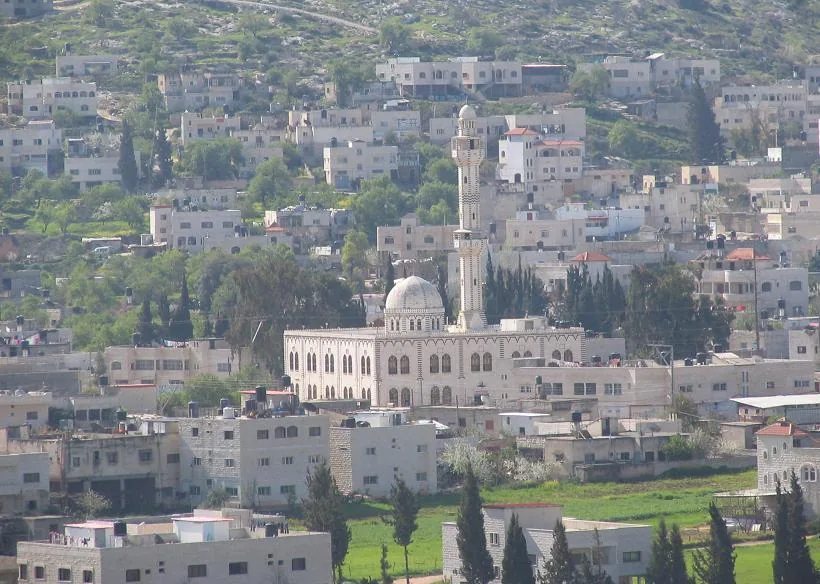
- Located in the Nablus Governorate near the village of Burin.
- Reaches an elevation of approximately 800 meters.
- Consists primarily of rocks from the Cretaceous formation.
- Associated with religious figures in local folk traditions.
- Serves as an important water catchment for local springs.
- The slopes are home to ancient olive groves.
Explore nearby
Notable places around
Route planner — Car & Motorhome
Where do you start? We build the route here, with stops and country notes along the way.
© OpenStreetMap contributors · OpenRouteService
Sights in the town Mount Salman (7)
Sights nearby
Frequently asked questions
Is Mount Salman high?
Is the ascent difficult?
What is there to see?
Do you need a guide?
Are there trails there?
Mount Salman: where is it located?
Mount Salman: what is there to see?
Mount Salman: when is the best time to visit?
Mount Salman: why is it worth visiting?

Nearby cities