Plizio Visual Lab
Samarian Highlands
Weather…
Water temperature…
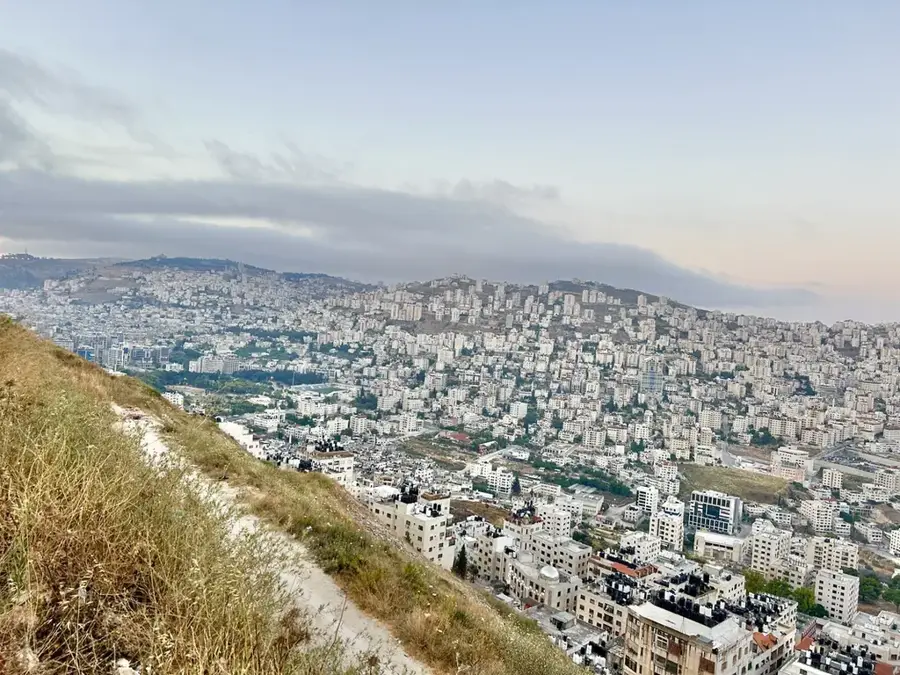
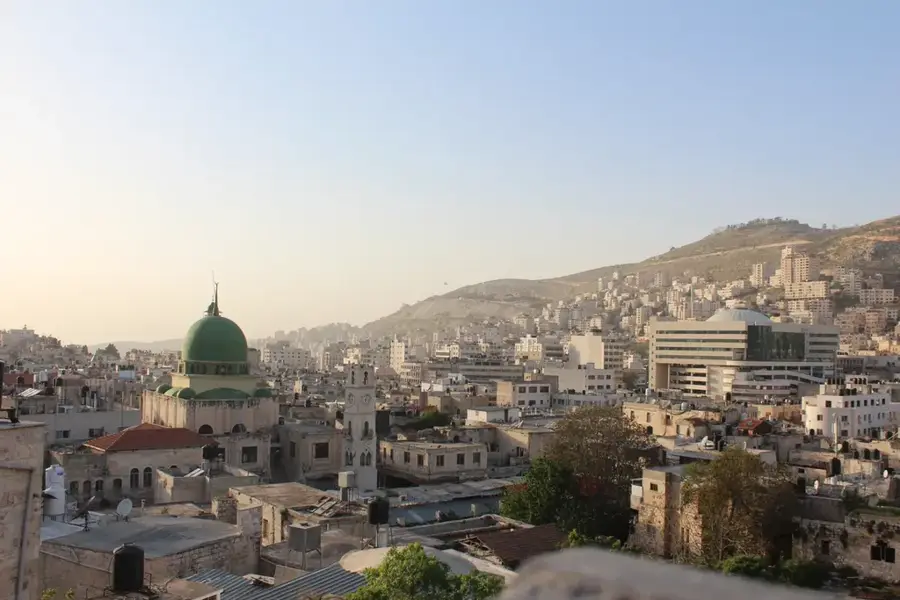
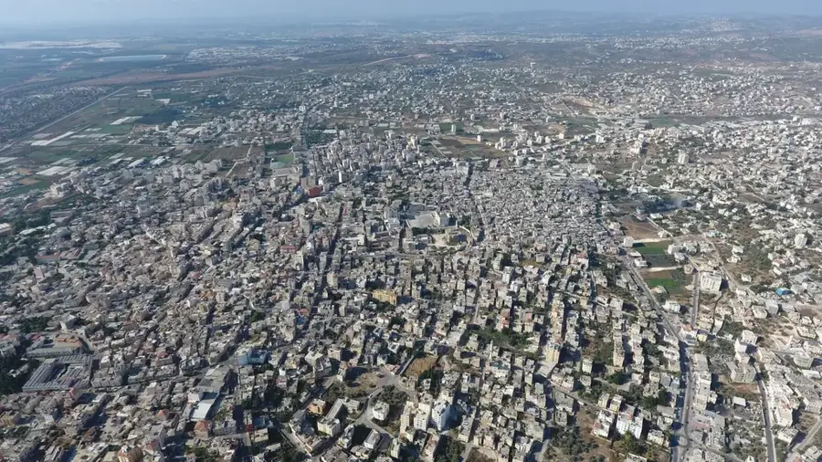
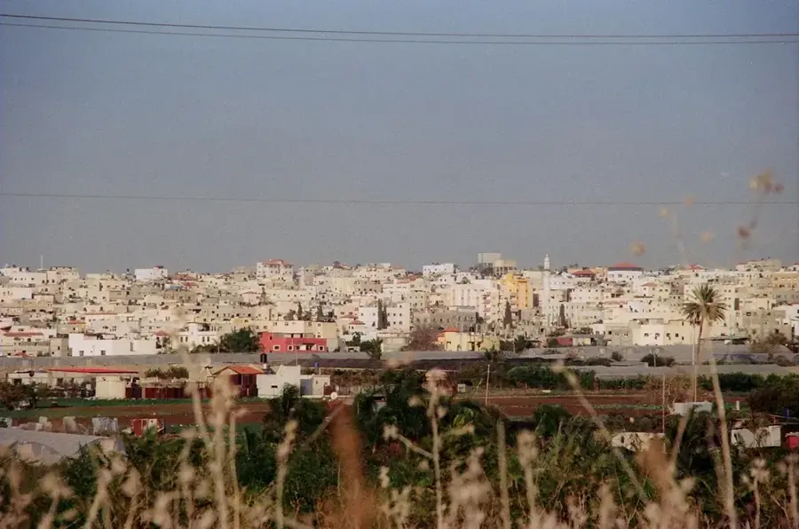
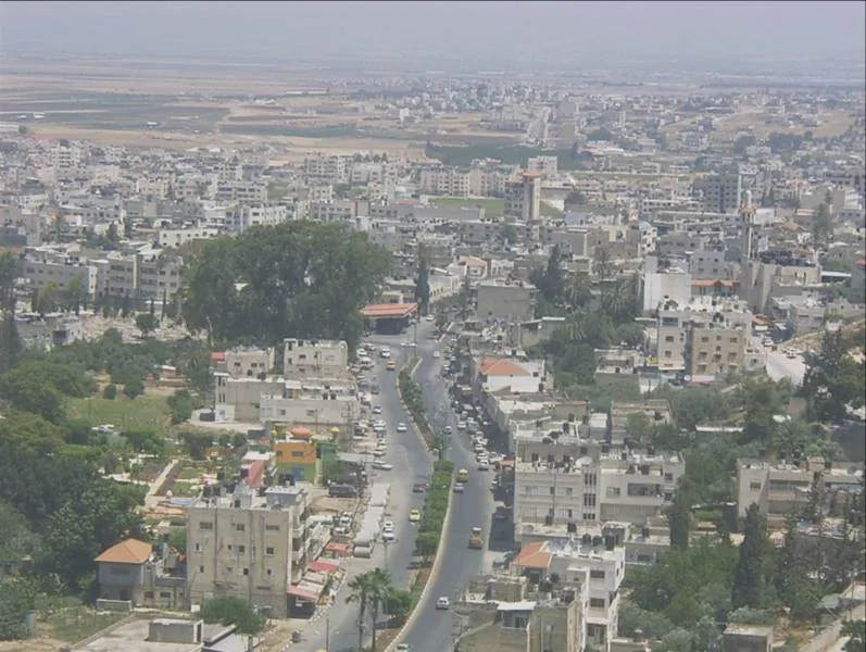
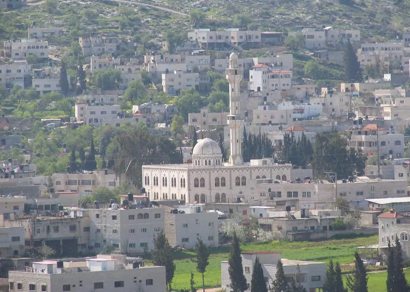
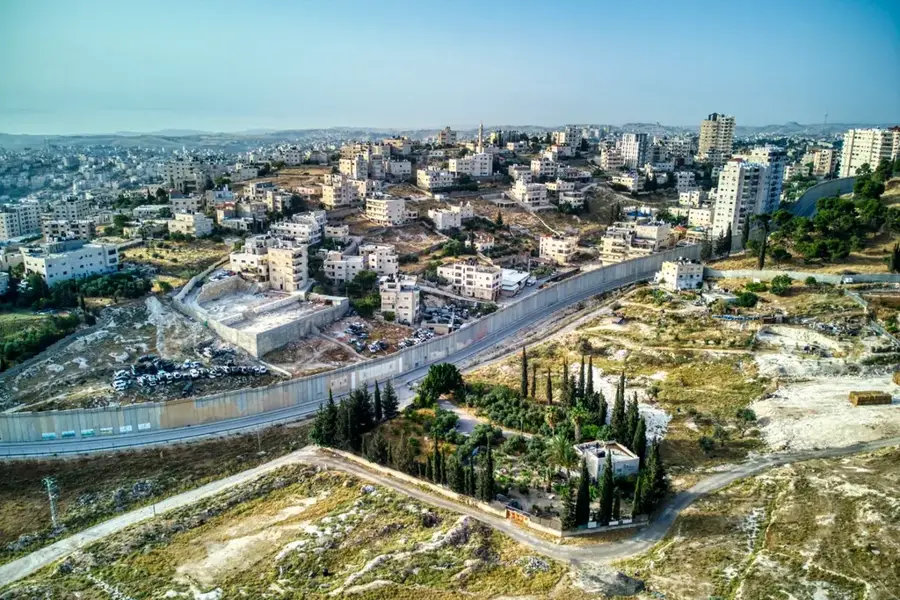
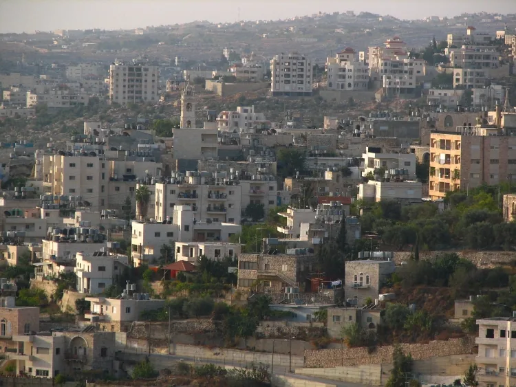
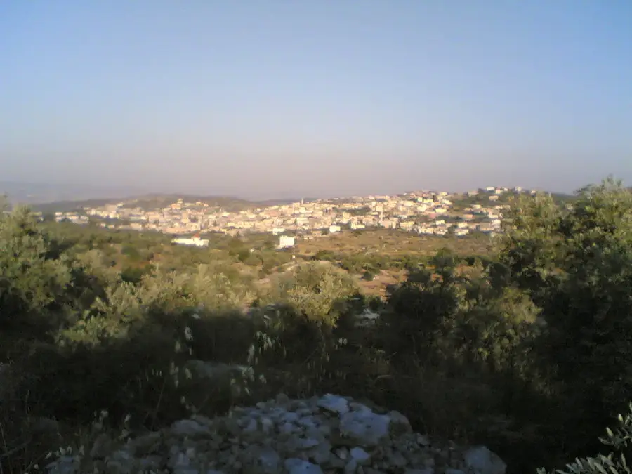
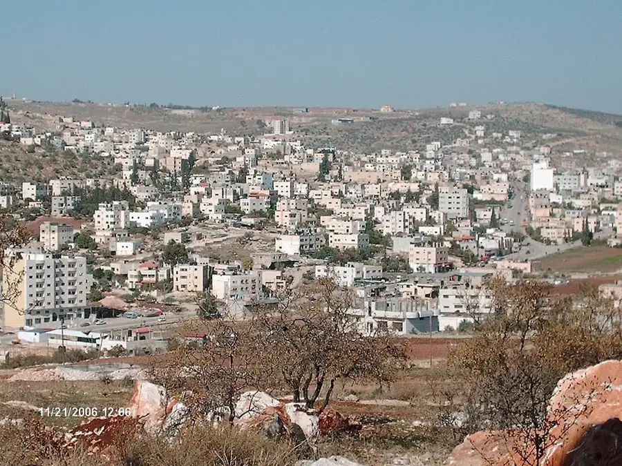
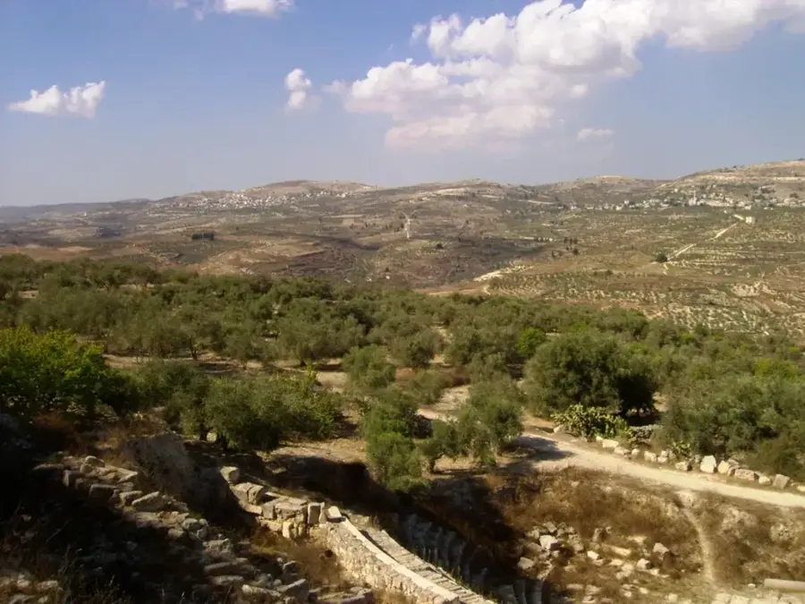
The Samarian Highlands form the central mountainous spine of the West Bank, featuring a rolling landscape with elevations ranging from 500 to 900 meters. The region is characterized by its fertile valleys and terraced hillsides, where the distinctive reddish terra rossa soil provides excellent conditions for agriculture. This area is the historic heartland of olive cultivation in Palestine, with vast groves of olive trees, some of which are hundreds of years old, defining the scenery. The traditional practice of terrace farming has shaped the slopes over millennia, creating a unique cultural landscape that persists to this day. In addition to olives, the highlands are known for vineyards and grain production in the wider valleys. Small villages and historical sites often crown the hilltops, offering expansive views across the central highlands towards the Jordan Valley to the east. The combination of Mediterranean climate, rugged relief, and ancient agricultural heritage makes this region a vital geographical and cultural landmark in the heart of the Levant.
- Location: Palestinian Territories
- Top sights: Anan Odeh Home · Tayel howwari Villa · Al Ateek
- Nearby: Nablus Old City (6 km)
Best time to visit & climate
The most pleasant time to visit is Apr, May, Oct.
| Jan | Feb | Mar | Apr | May | Jun | Jul | Aug | Sep | Oct | Nov | Dec | |
|---|---|---|---|---|---|---|---|---|---|---|---|---|
| Avg °C | 11 | 13 | 16 | 20 | 24 | 28 | 30 | 30 | 28 | 24 | 18 | 14 |
| Rain mm | 63 | 58 | 32 | 15 | 6 | 1 | 0 | 1 | 1 | 8 | 29 | 52 |
📋 Practical info
Geography
Facts
- Average elevation between 700 and 900 meters
- Characterized by the presence of numerous springs
- Contains fertile inland basins like Marj Sanur
- Limestone formations led to the creation of many caves
- Eastward slope towards the Jordan Valley is very steep
- Most important olive-growing region in the country
Explore nearby
Notable places around
Route planner — Car & Motorhome
Where do you start? We build the route here, with stops and country notes along the way.
© OpenStreetMap contributors · OpenRouteService
Sights in the town Samarian Highlands (8)
Sights nearby
Frequently asked questions
Are the Samarian Highlands accessible to tourists?
What is the best season for a tour?
Are there historical sites there?
What is the best way to get there?
Do you need a tour guide?
Samarian Highlands: where is it located?
Samarian Highlands: what is there to see?
Samarian Highlands: when is the best time to visit?
Samarian Highlands: why is it worth visiting?

Nearby cities