Plizio Visual Lab
Hardangervidda
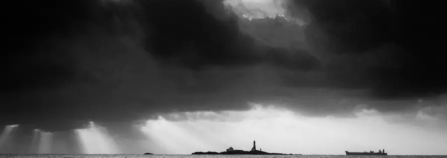
Weather…
Water temperature…
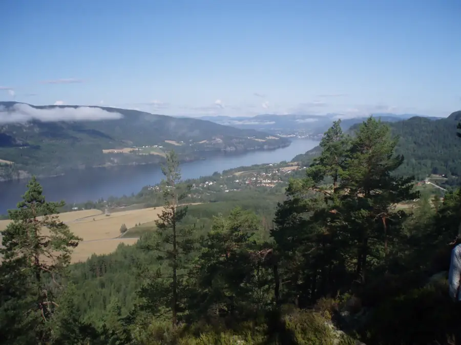
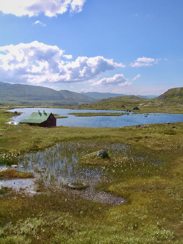
Hardangervidda is the largest mountain plateau in Northern Europe, covering an area of approximately 3,422 square kilometers across the counties of Vestland, Buskerud, and Telemark. The plateau has an average elevation of 1,100 meters, with the highest point reaching 1,863 meters at the Hardangerjøkulen glacier. It was designated as a national park in 1981 to protect the fragile alpine ecosystem and the largest herd of wild reindeer in the world, which currently numbers around 10,000 animals. The region's geography is characterized by vast treeless heaths, numerous lakes, and moorlands formed by glacial activity during the last ice age. Historically, the plateau has served as a vital transit route between eastern and western Norway, with ancient trails like the Nordmannsslepa still visible today. The climate is arctic, supporting specialized flora such as mountain avens and various mosses and lichens. Modern research on the plateau focuses on climate change impacts on permafrost and migratory patterns of the reindeer population. It remains a significant site for both scientific study and traditional mountain trekking.
- Location: Norway
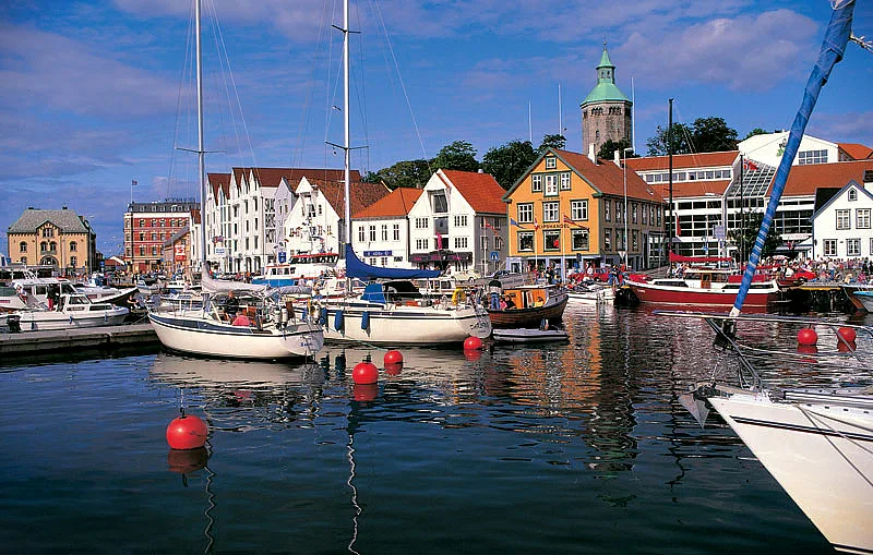
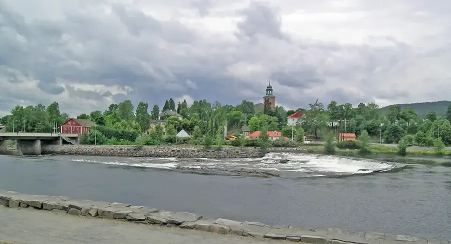
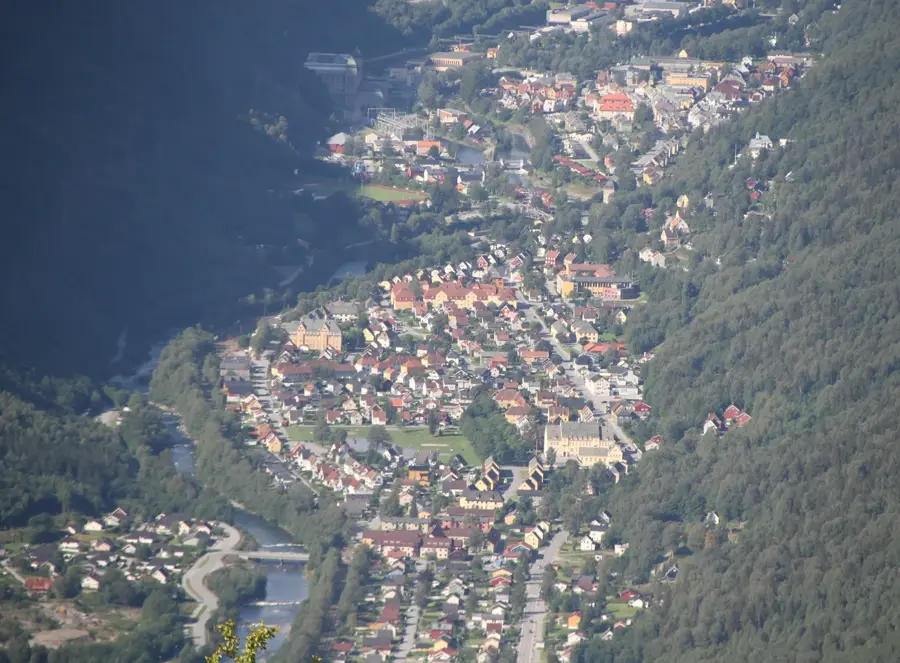
- Nearby: Røldal (42 km)
Best time to visit & climate
The most pleasant time to visit is Jun–Aug.
| Jan | Feb | Mar | Apr | May | Jun | Jul | Aug | Sep | Oct | Nov | Dec | |
|---|---|---|---|---|---|---|---|---|---|---|---|---|
| Avg °C | -9 | -9 | -7 | -3 | 1 | 6 | 10 | 9 | 5 | -1 | -5 | -8 |
| Rain mm | 155 | 108 | 107 | 95 | 114 | 139 | 171 | 167 | 159 | 162 | 155 | 159 |
📋 Practical info
Geography
Facts
- The plateau covers an area of approximately 3,422 km².
- The national park was established on April 10, 1981.
- Roughly 10,000 wild reindeer inhabit the plateau year-round.
- The highest peak is Sandfloegga at 1,721 meters elevation.
- The average elevation of the entire region is 1,100 meters.
- Over 500 kilometers of marked trails crisscross the park.
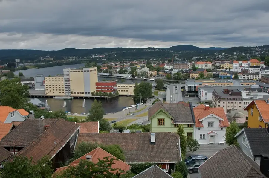
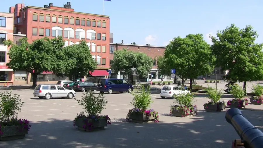
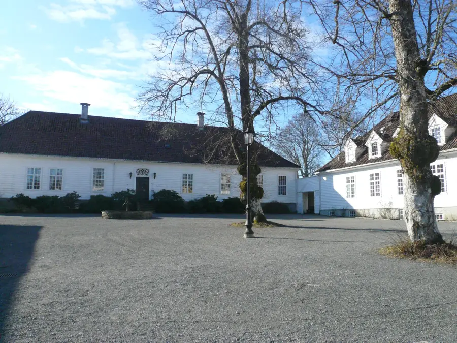
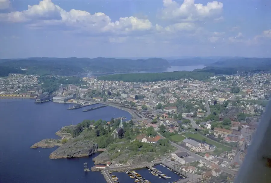
Explore nearby
Notable places around
Route planner — Car & Motorhome
Where do you start? We build the route here, with stops and country notes along the way.
© OpenStreetMap contributors · OpenRouteService
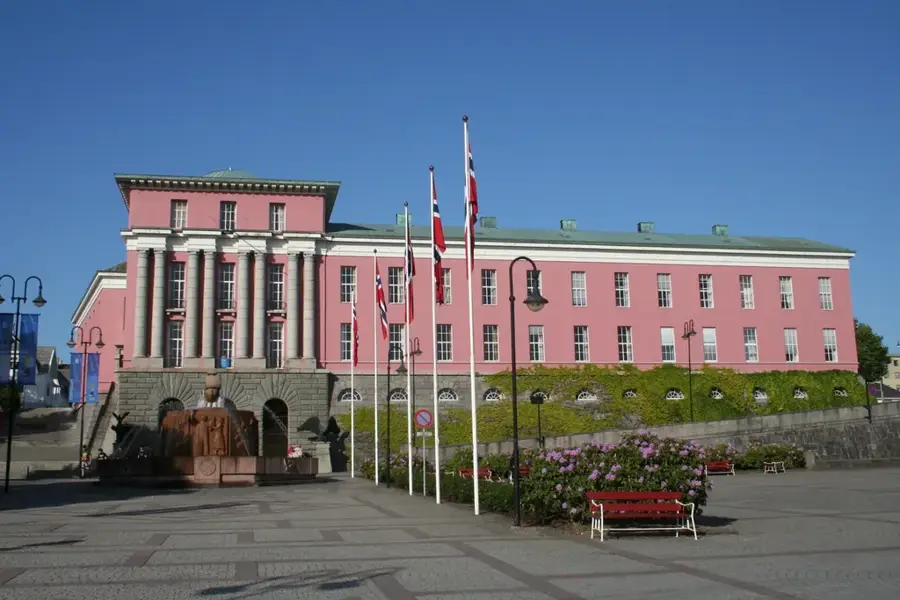
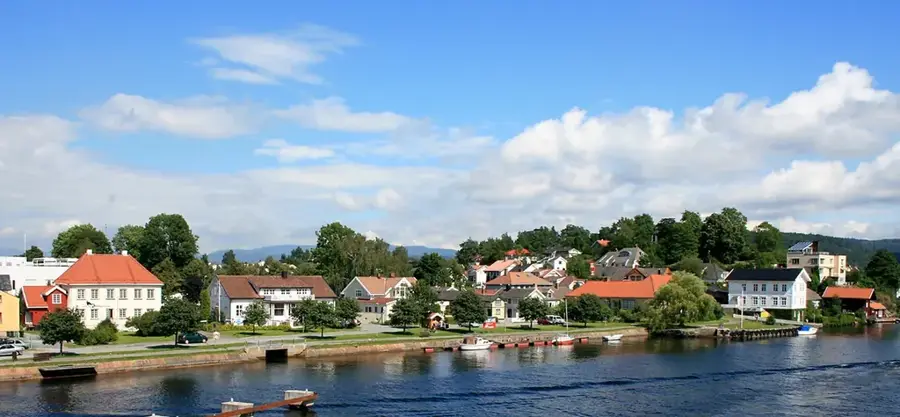
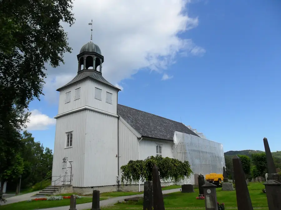
Sights in the town Hardangervidda (1)
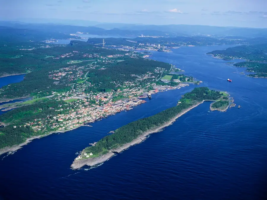
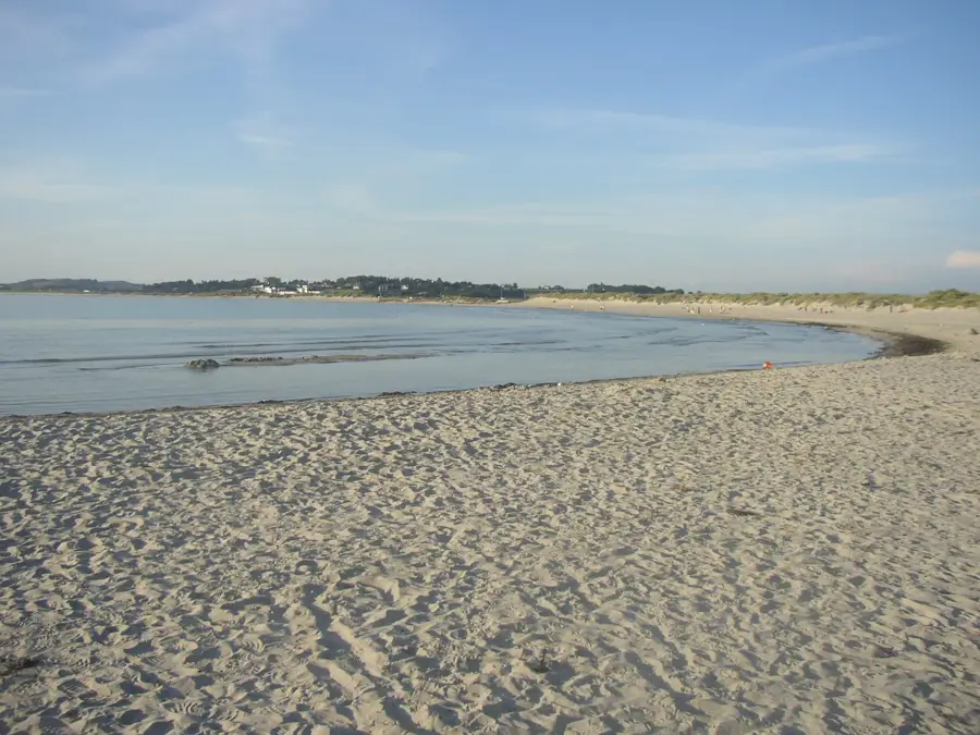
Sights nearby
Frequently asked questions
What is Hardangervidda?
Are there roads on the plateau?
Can reindeer be seen here?
What is the weather like on Hardangervidda?
Is Hardangervidda suitable for cycling?
Hardangervidda: where is it located?
Hardangervidda: when is the best time to visit?
Hardangervidda: why is it worth visiting?

Nearby cities