Plizio Visual Lab
Hallingskarvet
Weather…
Water temperature…
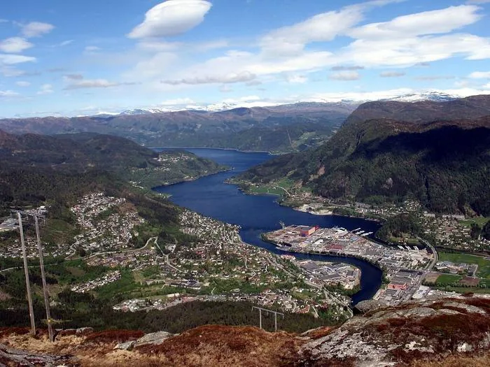
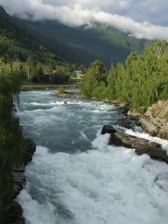
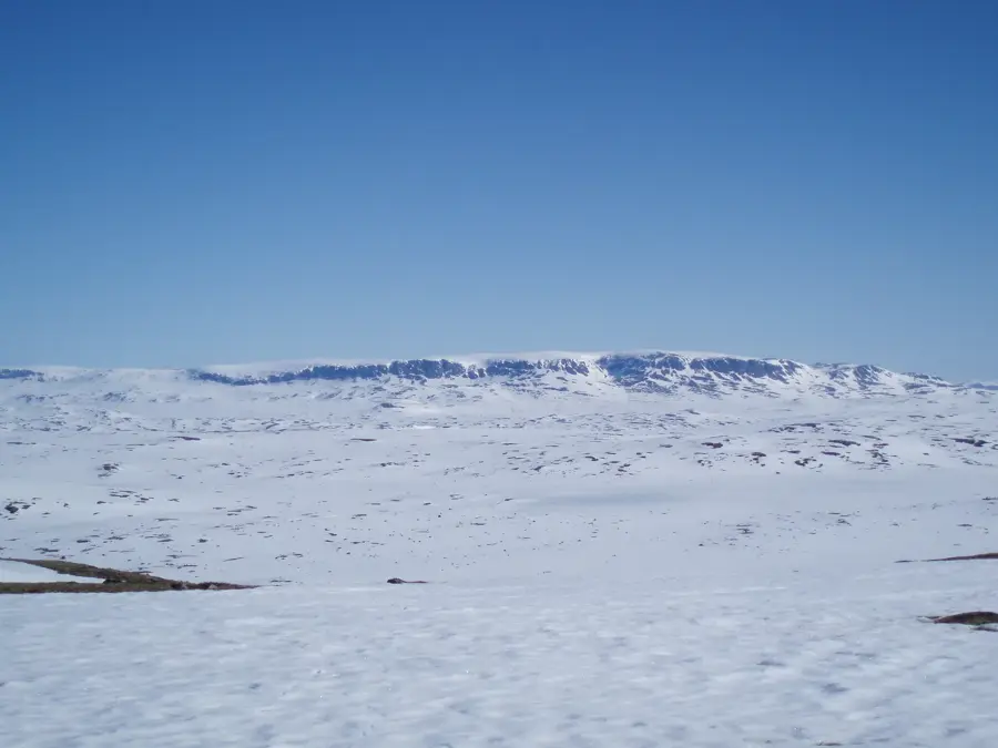
The Hallingskarvet Plateau is a distinctive mountain ridge in southern Norway, stretching approximately 35 kilometers between the Hallingdal region and the Hardangervidda plateau. Geologically, it is a nappe structure where ancient Precambrian rocks were thrust over younger layers, resulting in the characteristic steep cliffs and flat top that define its silhouette. The highest peak, Folarskardnuten, reaches 1,933 meters above sea level and provides expansive views across southern Norway on clear days. In 2006, the area was designated as Hallingskarvet National Park to preserve its unique alpine flora, fauna, and geological heritage. The plateau is also famously associated with the Norwegian philosopher Arne Næss, who built his remote cabin 'Tvergastein' here and developed his deep ecology theory. Today, the region is a haven for hikers in the summer and cross-country skiers in the winter, hosting the renowned Skarverennet ski race annually.
- Location: Norway
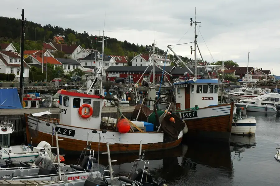
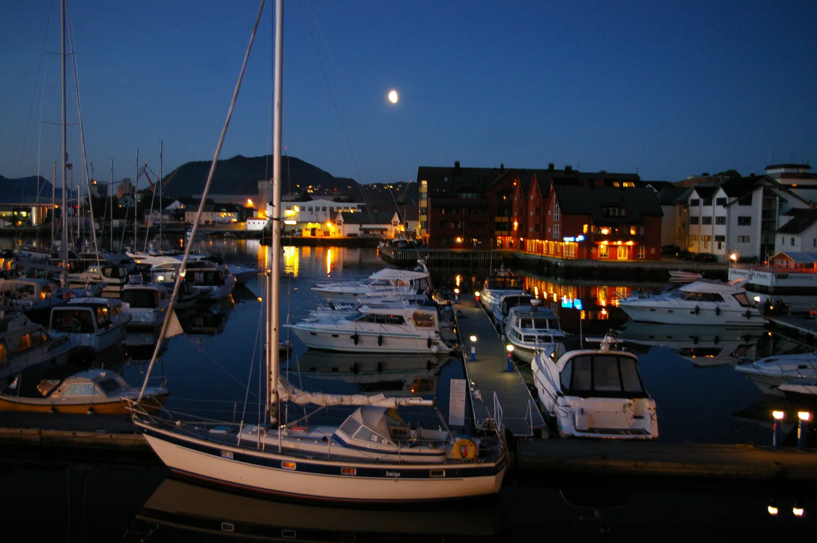
- Nearby: Geilo (20 km)
Best time to visit & climate
The most pleasant time to visit is Jun–Aug.
| Jan | Feb | Mar | Apr | May | Jun | Jul | Aug | Sep | Oct | Nov | Dec | |
|---|---|---|---|---|---|---|---|---|---|---|---|---|
| Avg °C | -9 | -9 | -7 | -3 | 2 | 8 | 11 | 9 | 5 | -1 | -6 | -8 |
| Rain mm | 95 | 67 | 71 | 71 | 98 | 120 | 153 | 142 | 116 | 110 | 99 | 96 |
📋 Practical info
Geography
Facts
- Highest point is Folarskardnuten at 1,933 meters
- Designated as a national park in the year 2006
- The ridge extends for approximately 35 kilometers
- Formed from ancient Precambrian migmatite and gneiss
- Home to Arne Næss's famous cabin, Tvergastein
- Site of the annual Skarverennet ski marathon
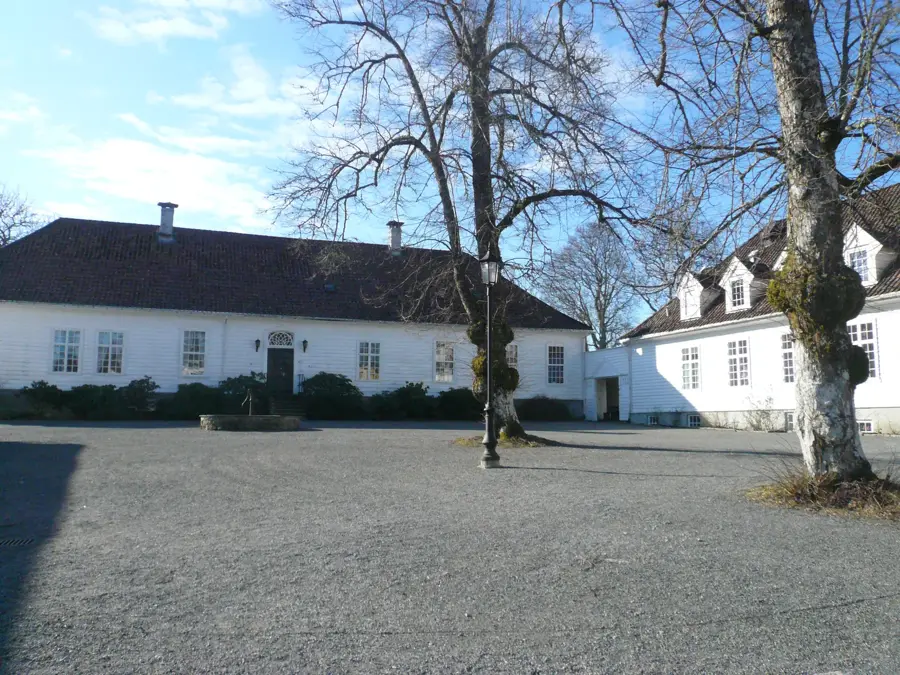
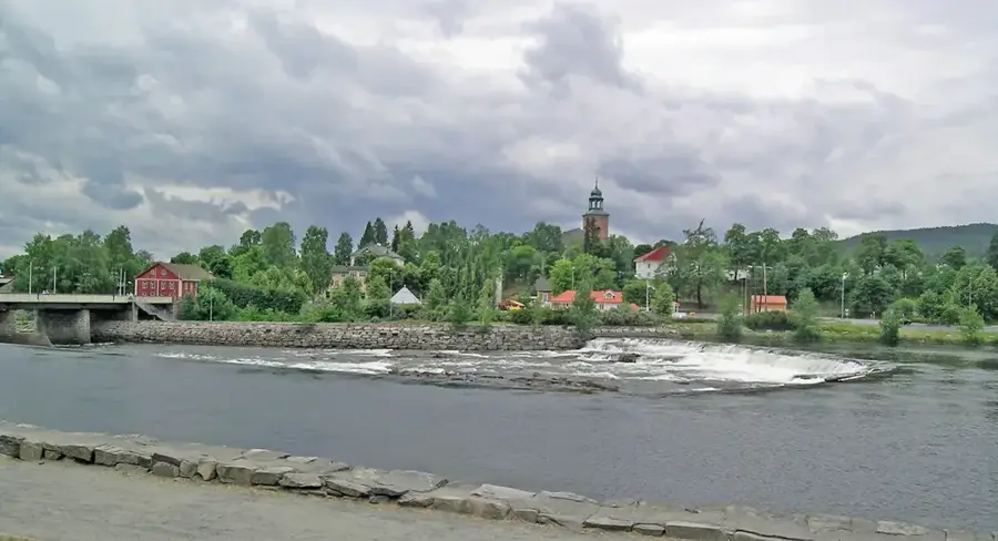
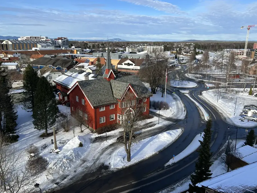
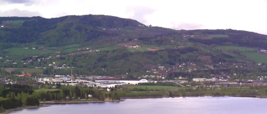
Explore nearby
Notable places around
Route planner — Car & Motorhome
Where do you start? We build the route here, with stops and country notes along the way.
© OpenStreetMap contributors · OpenRouteService
Sights nearby
Frequently asked questions
What is Hallingskarvet?
How is the best way to reach the plateau?
What are the Prestholt stairs?
Can you hike there in winter too?
Which animals live in the national park?
Hallingskarvet: where is it located?
Hallingskarvet: when is the best time to visit?
Hallingskarvet: why is it worth visiting?

Nearby cities