Plizio Visual Lab
Puryong Valley
Weather…
Water temperature…
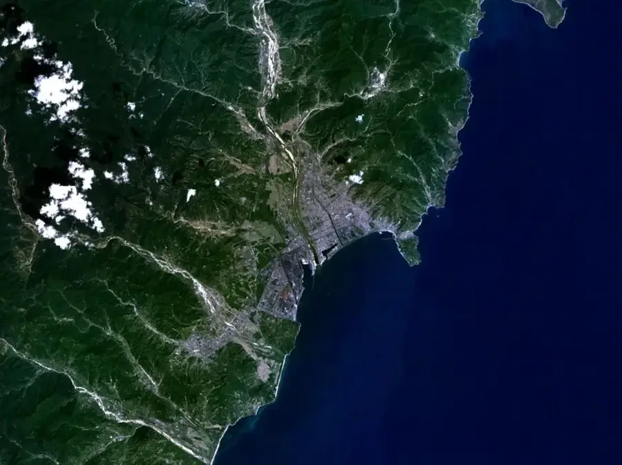
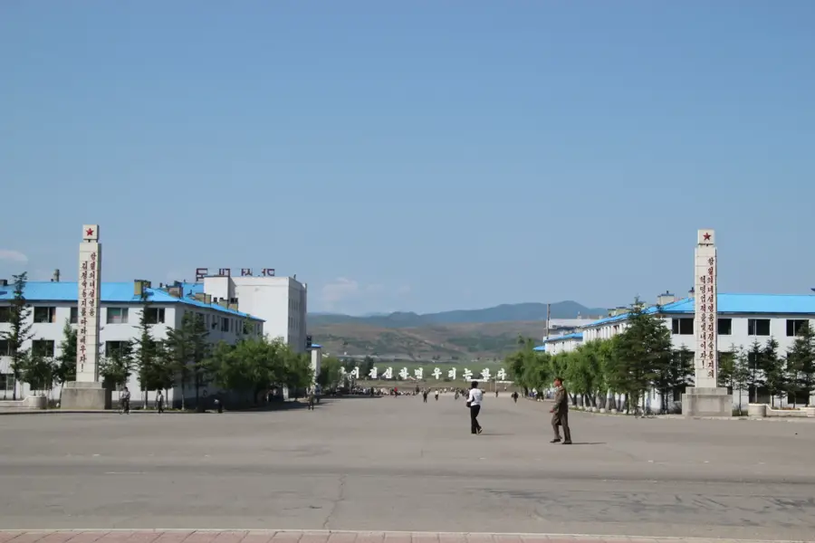
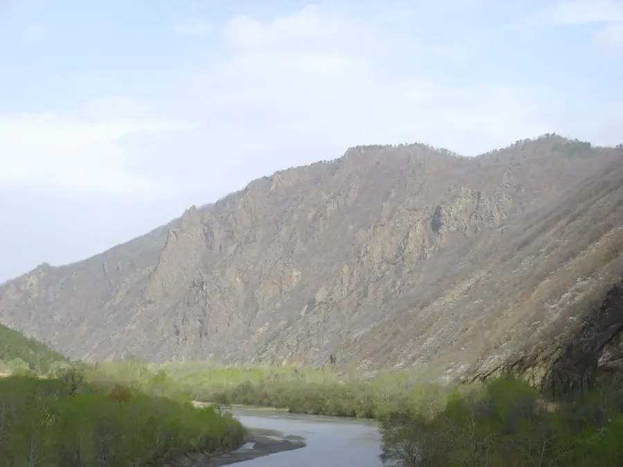
Puryong Valley is located in North Hamgyong Province in northeastern North Korea and is characterized by deeply incised gorges and steep mountain slopes. The valley was shaped over millions of years by the Susong River, which carved its path through the hard ancient rock of the Hamgyong Mountain Range. Geologically, crystalline schists and gneisses dominate the area, which are rich in mineral resources. The region is of great economic importance as several hydroelectric power plants and dams have been constructed here to utilize the river's steep gradients for energy production. The vegetation consists mainly of dense mountain forests that transition into subalpine zones at higher elevations. Historically, Puryong Valley was a significant transportation route between the coast and the interior of Manchuria. Due to the challenging topography, the valley is sparsely populated but contains some of the region's oldest mining settlements. Today, Puryong Valley serves as an example of integrating industrial infrastructure into an otherwise untouched, wild mountain landscape.
- Location: North Korea
- Nearby: Chongjin (17 km)
Best time to visit & climate
The most pleasant time to visit is Jun–Aug.
| Jan | Feb | Mar | Apr | May | Jun | Jul | Aug | Sep | Oct | Nov | Dec | |
|---|---|---|---|---|---|---|---|---|---|---|---|---|
| Avg °C | -15 | -11 | -4 | 4 | 11 | 16 | 19 | 19 | 13 | 5 | -4 | -13 |
| Rain mm | 8 | 13 | 20 | 40 | 79 | 91 | 158 | 161 | 79 | 40 | 31 | 12 |
📋 Practical info
Geography
Facts
- The Susong River is the primary force responsible for the valley's erosion.
- The valley houses significant hydroelectric facilities for regional power.
- Geologically, the area is known for its deposits of non-ferrous metals.
- The average incline of the mountain slopes exceeds 35 degrees.
- The railway line through the valley is one of the most technically demanding.
- Puryong translates to 'Rich Dragon' in the local dialect.
Explore nearby
Notable places around
Route planner — Car & Motorhome
Where do you start? We build the route here, with stops and country notes along the way.
© OpenStreetMap contributors · OpenRouteService
Sights nearby
Frequently asked questions
Where is Puryong Valley located?
Are there hiking trails there?
What is the main attraction?
Can you go birdwatching there?
Is there infrastructure there?
Puryong Valley: where is it located?
Puryong Valley: when is the best time to visit?
Puryong Valley: why is it worth visiting?

Nearby cities

Nature
More places