Plizio Visual Lab
Musan Plateau
Weather…
Water temperature…
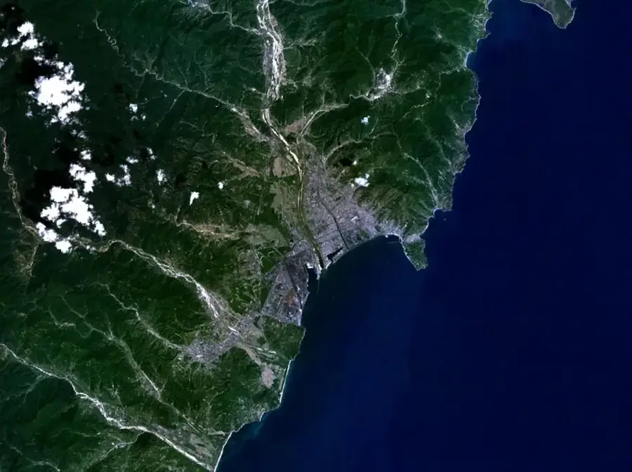
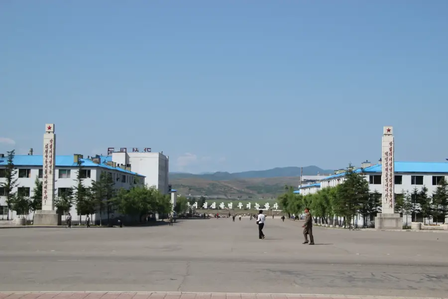
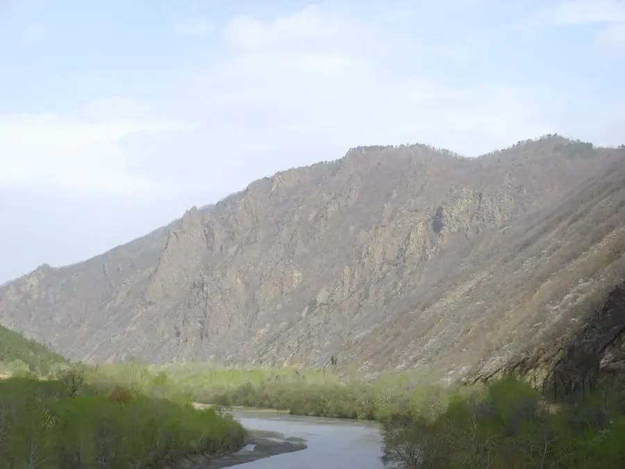
The Musan Plateau is located in the northern part of North Hamgyong Province and is one of the most extensive highland regions in North Korea. With an average elevation of over 1,000 meters above sea level, the plateau is characterized by a harsh continental climate with long, cold winters. Geologically, the region is of outstanding importance as it hosts the Musan Mine, one of the largest iron ore deposits in all of Asia. The ore reserves are embedded in metamorphic rock and have been extracted through open-pit mining since the early 20th century. The plateau borders the Tumen River to the north, which forms the natural boundary with China. The landscape features vast grasslands and alpine forests, with vegetation adapted to extreme temperature fluctuations. Historically, the plateau served as a strategic corridor for trade and military movements between the Korean Peninsula and Manchuria. Due to intensive mining activities, the topography of the plateau has changed significantly in recent decades, while the surrounding areas have preserved their original wilderness.
- Location: North Korea
- Nearby: Hoeryong (61 km)
Best time to visit & climate
The most pleasant time to visit is Jun–Aug.
| Jan | Feb | Mar | Apr | May | Jun | Jul | Aug | Sep | Oct | Nov | Dec | |
|---|---|---|---|---|---|---|---|---|---|---|---|---|
| Avg °C | -17 | -14 | -7 | 2 | 10 | 15 | 18 | 17 | 12 | 3 | -6 | -15 |
| Rain mm | 8 | 15 | 21 | 41 | 79 | 98 | 163 | 156 | 71 | 37 | 32 | 13 |
📋 Practical info
Geography
Facts
- The average elevation of the plateau is over 1,000 meters above sea level.
- It contains the largest open-pit iron ore mining area in Asia.
- The Tumen River borders the plateau to the north, facing China.
- Winter temperatures on the plateau can drop below -30 degrees Celsius.
- Geological iron ore reserves are estimated at over 1 billion tons.
- The plateau is a significant habitat for Siberian roe deer and other wildlife.
Explore nearby
Notable places around
Route planner — Car & Motorhome
Where do you start? We build the route here, with stops and country notes along the way.
© OpenStreetMap contributors · OpenRouteService
Sights in the town Musan Plateau (1)
Sights nearby
Frequently asked questions
What is the Musan Plateau known for?
Is the plateau developed for tourism?
How high is the plateau?
What flora dominates there?
Are there museums there?
Musan Plateau: where is it located?
Musan Plateau: when is the best time to visit?
Musan Plateau: why is it worth visiting?

Nearby cities

Nature
More places