Plizio Visual Lab
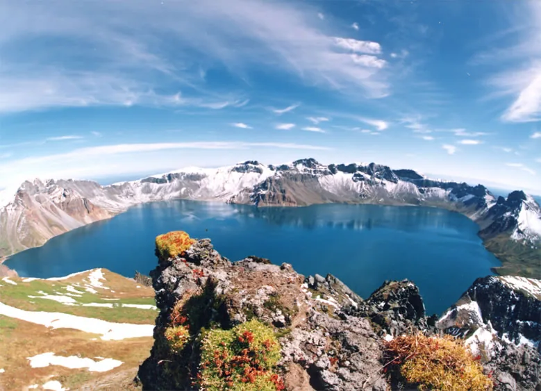
Kaema Plateau
Weather…
Water temperature…
The Kaema Plateau, often referred to as the 'Roof of Korea,' is the largest and highest plateau on the Korean Peninsula. Spanning parts of Ryanggang and South Hamgyong provinces, it sits at an average elevation of 1,300 to 1,500 meters above sea level. Geologically, the plateau is the result of massive volcanic activity and subsequent tectonic uplifts during the Cenozoic era. It is surrounded by high mountain ranges such as the Rangrim and Hamgyong mountains, which contribute to its extreme continental climate and exceptionally cold winters. The plateau's vast expanses are characterized by subalpine coniferous forests and highland meadows that provide a habitat for rare species like the Siberian tiger. Historically, the region served as a stronghold for resistance fighters due to its rugged and inaccessible terrain. Today, the plateau is of great economic importance for livestock farming and the cultivation of highland crops, particularly potatoes. The open, sweeping landscape of the plateau stands in stark contrast to the jagged topography of the rest of Korea, offering unique insights into high-altitude flora and fauna.
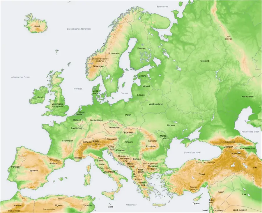
- Location: North Korea
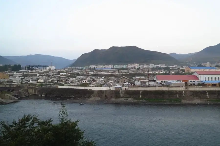
- Nearby: Hyesan (31 km)
Best time to visit & climate
The most pleasant time to visit is Jun–Aug.
| Jan | Feb | Mar | Apr | May | Jun | Jul | Aug | Sep | Oct | Nov | Dec | |
|---|---|---|---|---|---|---|---|---|---|---|---|---|
| Avg °C | -14 | -11 | -5 | 4 | 11 | 16 | 19 | 18 | 13 | 5 | -4 | -12 |
| Rain mm | 9 | 13 | 19 | 36 | 67 | 78 | 165 | 139 | 74 | 34 | 29 | 13 |
📋 Practical info
Geography
Facts
- The plateau covers an area of approximately 40,000 square kilometers.
- Its average elevation is roughly 1,340 meters above sea level.
- It is famous for recording the coldest winter temperatures in Korea.
- The geology is dominated by Cenozoic basaltic lava flows.
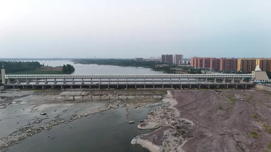
- Major rivers including the Yalu and Tumen originate on the plateau.
- The region is the primary center for potato production in North Korea.
Explore nearby
Notable places around
Route planner — Car & Motorhome
Where do you start? We build the route here, with stops and country notes along the way.
© OpenStreetMap contributors · OpenRouteService
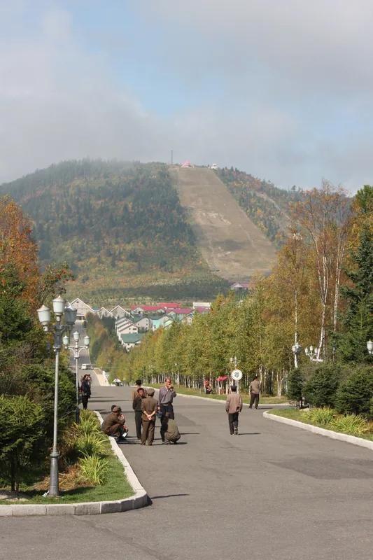
Sights nearby
Frequently asked questions
What is the Kaema Plateau?
What is the climate like on the plateau?
Are there settlements there?
What animals live on Kaema?
Is the plateau accessible to tourists?
Kaema Plateau: where is it located?
Kaema Plateau: when is the best time to visit?
Kaema Plateau: why is it worth visiting?

Nearby cities
Nature

More places