Plizio Visual Lab
Changbai Mountains (Korean Side)

Weather…
Water temperature…
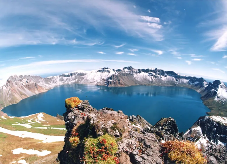
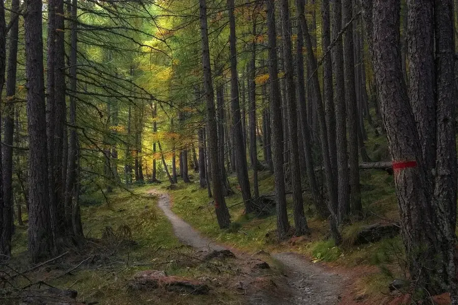
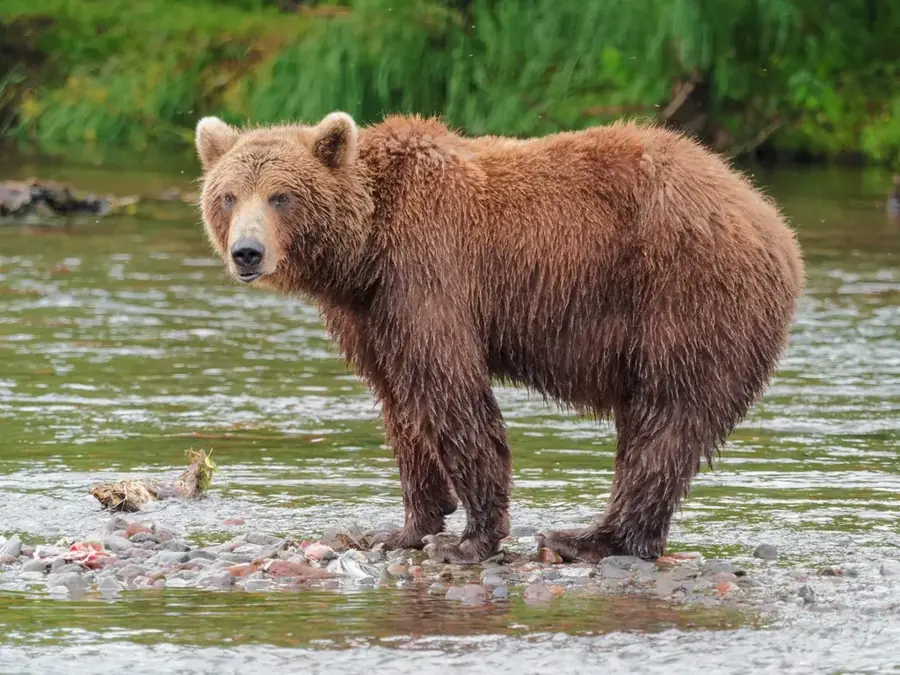
The Changbai Mountains, known on the Korean side as Paektusan, constitute a massive volcanic massif on the border between North Korea and China. Its highest peak, Janggun Peak, reaches an elevation of 2,744 meters, making it the highest point on the entire Korean Peninsula. At the center of the massif lies Chonji (Heaven Lake), a crater lake formed after a massive volcanic eruption around 946 AD. The mountain holds immense cultural and spiritual significance for the Korean people, being regarded as the ancestral birthplace of their nation. Geologically, the region is characterized by pumice deposits, basalt plateaus, and thermal springs, indicating ongoing subterranean volcanic activity. The flora spans various vegetation zones, from dense coniferous forests at the base to alpine tundra near the peaks. Due to its isolated location and extreme climatic conditions, the mountain provides a habitat for rare animal species such as the Amur tiger and black bear. Today, Paektusan is a major site for volcanological research and a central symbol of Korean national identity.
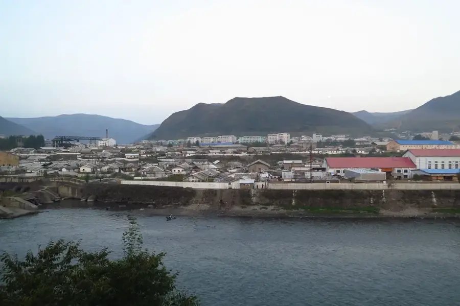
- Location: North Korea
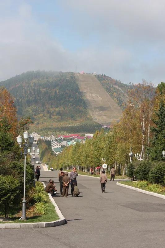
- Top sights: West slope climbing step · Ladder River · Iris Garden
- Nearby: Samjiyon (37 km)
Best time to visit & climate
The most pleasant time to visit is Jun–Aug.
| Jan | Feb | Mar | Apr | May | Jun | Jul | Aug | Sep | Oct | Nov | Dec | |
|---|---|---|---|---|---|---|---|---|---|---|---|---|
| Avg °C | -19 | -16 | -9 | 1 | 8 | 13 | 17 | 16 | 10 | 2 | -8 | -17 |
| Rain mm | 8 | 16 | 23 | 42 | 82 | 106 | 174 | 166 | 70 | 39 | 33 | 14 |
📋 Practical info
Geography
Facts
- Janggun Peak is the highest mountain in Korea at 2,744 meters.
- Heaven Lake (Chonji) is situated at an elevation of 2,189 meters.
- The 946 AD eruption is ranked as one of the most powerful in recorded history.
- The water depth of Chonji reaches up to 384 meters in some locations.
- The mountain range is the source of the Tumen, Yalu, and Songhua rivers.
- The area was designated as a UNESCO Biosphere Reserve in 1989.
Explore nearby
Notable places around
Route planner — Car & Motorhome
Where do you start? We build the route here, with stops and country notes along the way.
© OpenStreetMap contributors · OpenRouteService
Sights in the town Changbai Mountains (Korean Side) (3)
Sights nearby
Frequently asked questions
What is Paektu-san?
How do you get to Heaven Lake (Chonji)?
When is there snow on the summit?
Is the mountain accessible to foreigners?
Are there accommodations there?
Changbai Mountains (Korean Side): where is it located?
Changbai Mountains (Korean Side): what is there to see?
Changbai Mountains (Korean Side): when is the best time to visit?
Changbai Mountains (Korean Side): why is it worth visiting?

Nearby cities
Nature

More places