Plizio Visual Lab
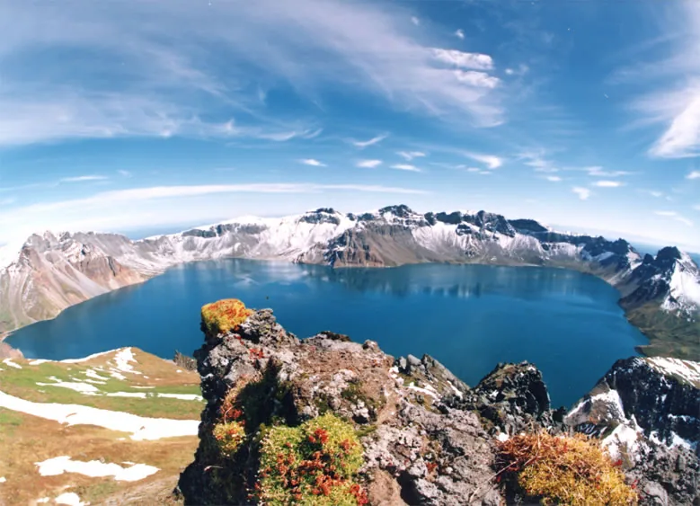
Paektu Mountain
Weather…
Water temperature…
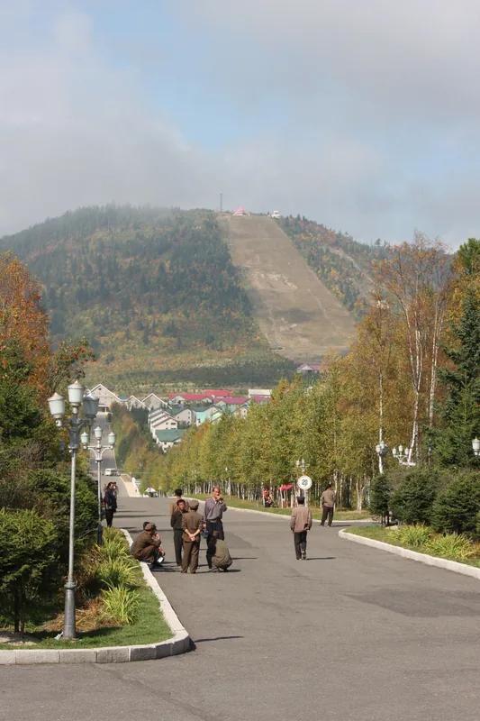
Mount Paektu, also known as Changbaishan on the Chinese side, is the highest peak on the Korean Peninsula at 2,744 meters. Located on the border between North Korea and China, it is revered as a sacred site by all Koreans, regarded as the ancestral origin of the Korean people. The mountain is a dormant stratovolcano whose massive caldera holds Heaven Lake (Chonji), one of the highest crater lakes in the world. The surrounding landscape is characterized by dense forests, hot springs, and spectacular waterfalls. In North Korean historiography, Paektu plays a central role as the base for the anti-Japanese guerrilla struggle and the official birthplace of Kim Jong-il. Each year, numerous pilgrims and tourists visit the region to witness the wide-open scenery and visit historical secret camps. The area is recognized as a biosphere reserve and provides habitat for rare species such as the Siberian tiger and the black bear. Climatic conditions at the summit are extreme, featuring fierce winds and snow cover that often lasts into early summer.
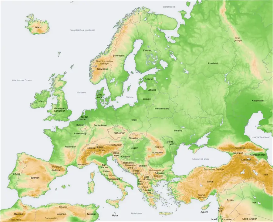
- Location: North Korea
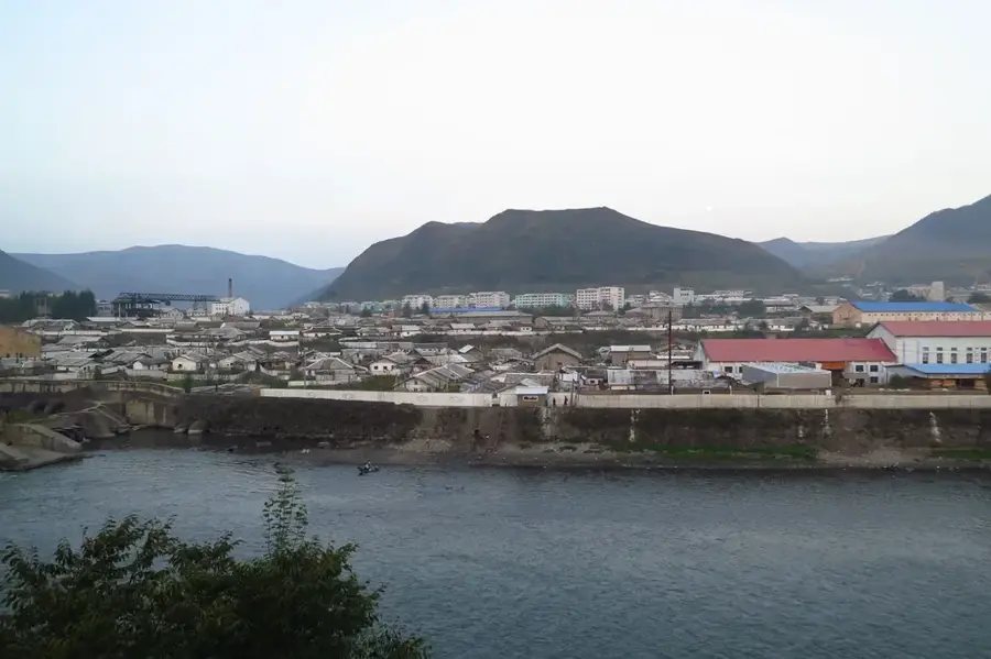
- Nearby: Samjiyon (31 km)
Best time to visit & climate
The most pleasant time to visit is Jun–Aug.
| Jan | Feb | Mar | Apr | May | Jun | Jul | Aug | Sep | Oct | Nov | Dec | |
|---|---|---|---|---|---|---|---|---|---|---|---|---|
| Avg °C | -19 | -16 | -9 | 1 | 8 | 13 | 17 | 16 | 10 | 2 | -8 | -17 |
| Rain mm | 8 | 16 | 23 | 42 | 82 | 106 | 174 | 166 | 70 | 39 | 33 | 14 |
📋 Practical info
Geography
Facts
- Standing at 2,744 meters, Paektu is the highest peak of the Changbai range.
- Heaven Lake in the caldera reaches a maximum depth of approximately 384 meters.
- The volcano's last catastrophic eruption occurred around the year 946 AD.
- The mountain plateau consists largely of volcanic pumice stone.
- Mount Paektu is the source of the Amnok (Yalu) and Tuman rivers.
- The average annual temperature at the summit is a mere -8.3 °C.
Explore nearby
Notable places around
Route planner — Car & Motorhome
Where do you start? We build the route here, with stops and country notes along the way.
© OpenStreetMap contributors · OpenRouteService
Sights in the town Paektu Mountain (1)
Sights nearby
Frequently asked questions
How do you get to Mount Paektu?
When is the best time to visit Mount Paektu?
Is the climb difficult?
Why is the mountain considered sacred?
Are there accommodations nearby?
Paektu Mountain: where is it located?
Paektu Mountain: when is the best time to visit?
Paektu Mountain: why is it worth visiting?

Nearby cities
Nature

More places