Plizio Visual Lab
Hoechang Highlands

Weather…
Water temperature…
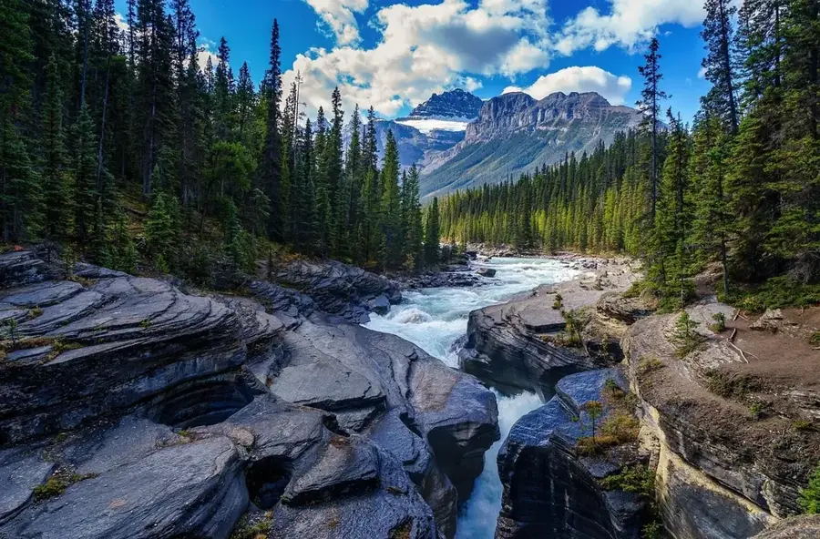
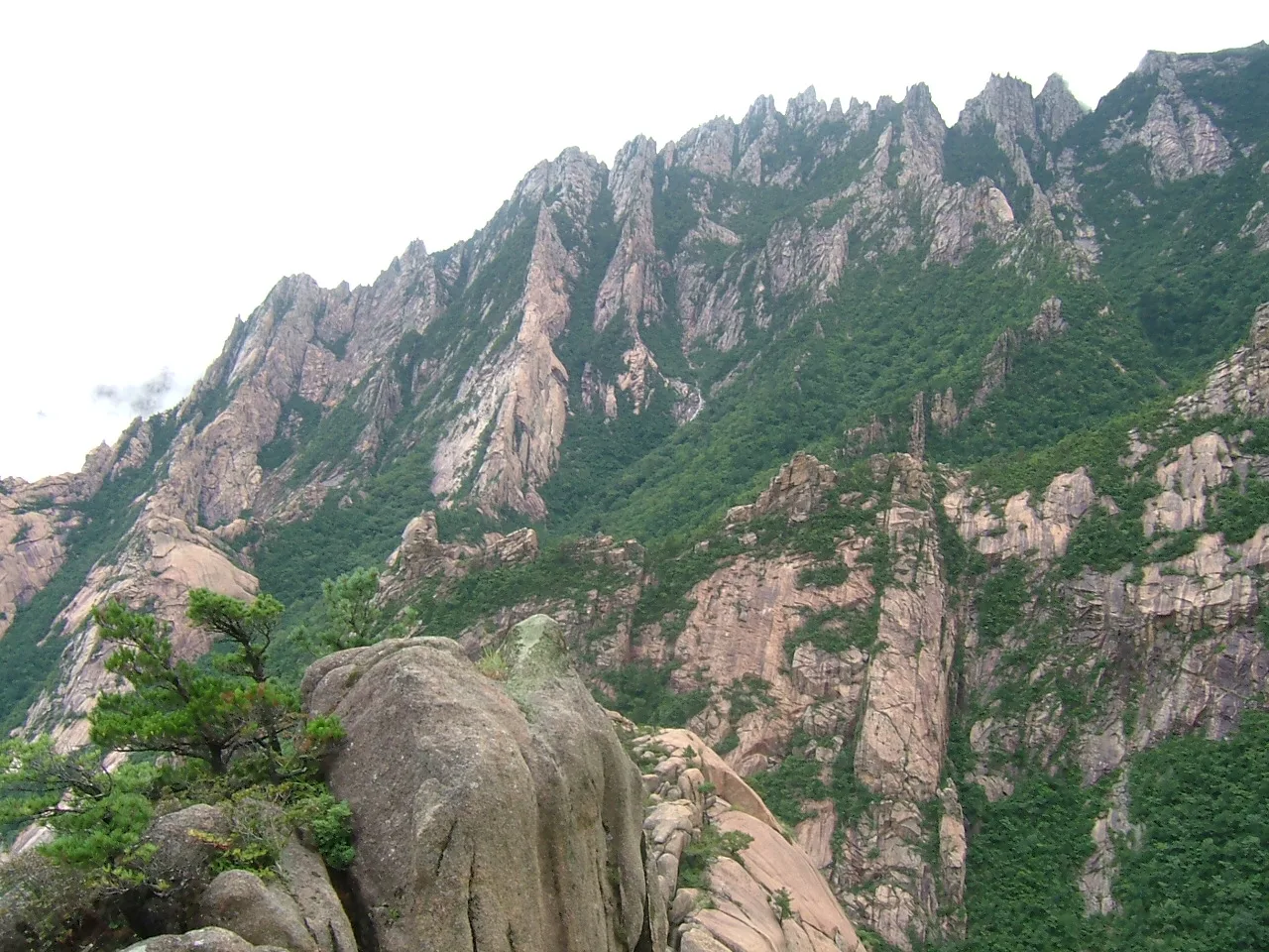
The Hoechang Highlands are situated in South Pyongan Province in central North Korea, forming a rugged segment of the Ahobiryong Mountain Range. This mountainous region is defined by steep peaks, deep valleys, and a harsh climate, with average elevations ranging between 600 and 1,200 meters above sea level. Geologically, the area is dominated by granite and gneiss, resulting in a fractured topography that is exceptionally rich in mineral resources. Historically, Hoechang is recognized as a significant mining district where gold and other precious metals have been extracted since the Japanese colonial era. During the Korean War, the difficult terrain served as a strategic retreat and hiding place for military forces. Today, the highlands are almost entirely covered by dense mixed forests of oak, maple, and pine, providing a vital habitat for rare species such as the Amur leopard. Due to the terrain, agriculture is largely restricted to terraced farming in lower altitudes, primarily producing maize and potatoes.
- Location: North Korea
- Nearby: Yangdok (17 km)
Best time to visit & climate
The most pleasant time to visit is May, Jun, Sep.
| Jan | Feb | Mar | Apr | May | Jun | Jul | Aug | Sep | Oct | Nov | Dec | |
|---|---|---|---|---|---|---|---|---|---|---|---|---|
| Avg °C | -9 | -5 | 1 | 8 | 15 | 20 | 23 | 22 | 17 | 10 | 2 | -7 |
| Rain mm | 9 | 19 | 26 | 56 | 79 | 105 | 315 | 251 | 107 | 51 | 53 | 18 |
📋 Practical info
Geography
Facts
- The highest peak in the region reaches approximately 1,250 meters.
- An average of 75% of the territory is covered by forest.
- The average annual temperature is approximately 8 degrees Celsius.
- Hoechang houses some of the country's deepest gold mines.
- The highlands are the headwaters for several tributaries of the Taedong River.
- In winter, snow depths can exceed one meter in the higher elevations.
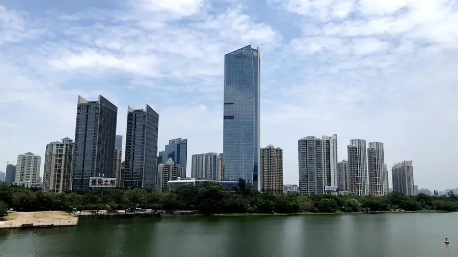
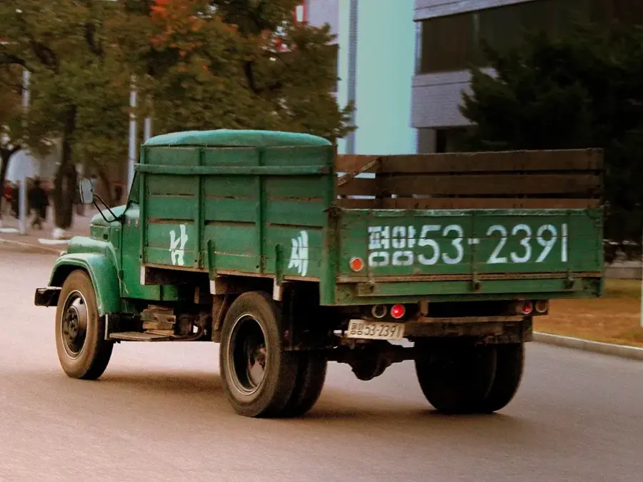
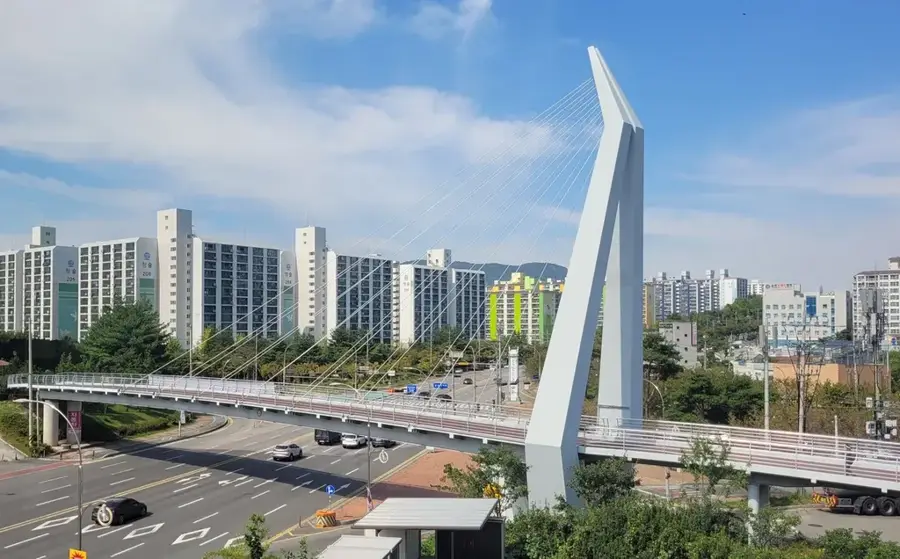
Explore nearby
Notable places around
Route planner — Car & Motorhome
Where do you start? We build the route here, with stops and country notes along the way.
© OpenStreetMap contributors · OpenRouteService
Sights nearby
Frequently asked questions
What is the Hoechang Highlands?
How do you reach this region?
What is grown there?
Are there hiking trails?
When is the best time to visit?
Hoechang Highlands: where is it located?
Hoechang Highlands: when is the best time to visit?
Hoechang Highlands: why is it worth visiting?

Nearby cities


Nature
More places