Plizio Visual Lab
Manpo
ℹ️Practical info — Manpo
▾
🌤 Weather — 5 days
📍 Nearby
Sights nearby
💡 Tips
- Located right on the Yalu River, Manpo gives unique views directly into China (Ji'an).
- This border city is rarely visited by Western tourists; infrastructure is very basic.
- Do not attempt to photograph border guards or military installations across the river.
- Trade activities are visible along the riverbanks, but you must stay with your guides.
🍽 Food
Freshly caught from the Yalu River, typically served at local guest houses.
A regional specialty prepared in designated restaurants.
🛍 Shopping · 🧘 Quiet spots
Small trinkets and local goods available at the tourist shop.
Regional liquors sold in hotel shops.
Scenic but heavily patrolled walks along the border (must be guided).
Historical remnants near the border area.
Water temperature…
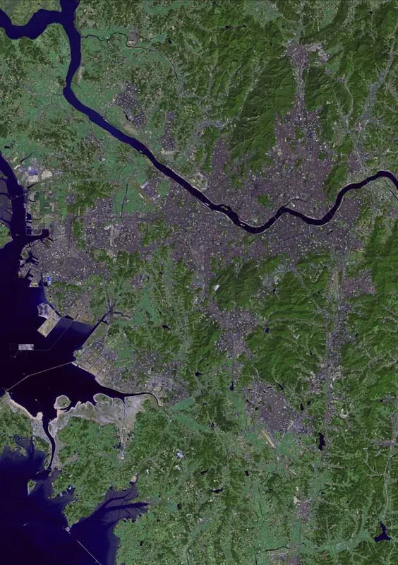
Manpo is a strategically significant border city located in Chagang Province, North Korea, situated on the southern bank of the Yalu River. It lies directly across from the Chinese city of Linjiang, with which it is connected via an international railway bridge that facilitates cross-border trade. This geographical position makes Manpo a vital logistical gateway for the movement of goods and resources between North Korea and China. The city's economy is primarily driven by the timber industry, machinery manufacturing, and forestry, leveraging the vast wood resources of the surrounding mountainous terrain. The climate is characterized by harsh continental conditions, with long, extremely cold winters that significantly influence local infrastructure and daily life. Historically, Manpo served as a strategic base during the anti-Japanese revolutionary struggle and remains a focal point for border security today. In recent years, the city has seen upgrades to its transport facilities to bolster economic cooperation within the northern frontier zone. Manpo stands as a key urban center integrating industrial production with international transport corridors.
- Location: North Korea
- Nearby: Kanggye (47 km)
Best time to visit & climate
The most pleasant time to visit is Jun, Aug, Sep.
| Jan | Feb | Mar | Apr | May | Jun | Jul | Aug | Sep | Oct | Nov | Dec | |
|---|---|---|---|---|---|---|---|---|---|---|---|---|
| Avg °C | -15 | -11 | -4 | 5 | 12 | 18 | 21 | 20 | 14 | 6 | -3 | -13 |
| Rain mm | 8 | 17 | 23 | 45 | 74 | 106 | 209 | 189 | 70 | 45 | 36 | 13 |
Geography
Facts
- Manpo sits on the Yalu River, directly bordering Linjiang in Jilin Province, China.
- The Manpo-Linjiang railway bridge was constructed in 1939 during the colonial era.
- The settlement was officially designated as a city (Si) in 1967.
- Logging and timber processing are the most prominent industries in the region.
- It serves as the northern terminus of the Manpo Line railway from Pyongyang.
- The city is home to the Manpo Machinery Factory, which produces heavy equipment.
Explore nearby
Notable places around
Route planner — Car & Motorhome
Where do you start? We build the route here, with stops and country notes along the way.
© OpenStreetMap contributors · OpenRouteService
Frequently asked questions
Where is Manp'o located?
What is the economic significance of the city?
Can you see Manp'o from China?
What sights are there?
How is transport within the city?
Manpo: where is it located?
Manpo: when is the best time to visit?
Manpo: why is it worth visiting?

Nearby cities
Nature
More places