Plizio Visual Lab
Gaya
ℹ️Practical info — Gaya
▾
🌤 Weather — 5 days
📍 Nearby
Sights nearby
💡 Tips
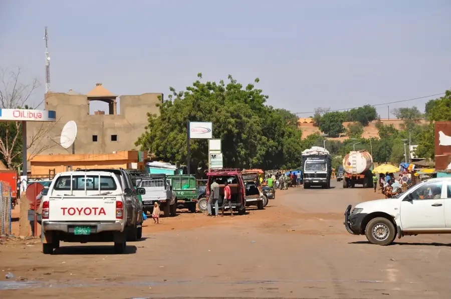
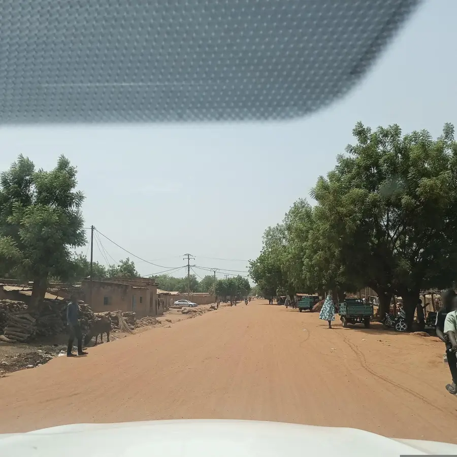
- Since Gaya is a key border crossing to Malanville in Benin, expect heavy truck traffic near the bridge over the Niger River.
- The climate is extremely hot; always carry plenty of water and seek shade during the midday hours.
- French is the official language, but knowing a few greetings in Dendi or Hausa will go a long way in the local markets.
- Photography near the border bridge and military installations is strictly prohibited.
🍽 Food
Enjoy fresh Niger River perch, usually grilled and served at small waterside local restaurants.
A hearty and common dish found in most local eateries around the market.
Try this local specialty made of steamed cereals mixed with spinach and spices.
🛍 Shopping · 🧘 Quiet spots
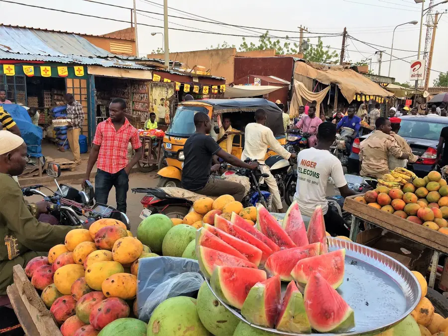
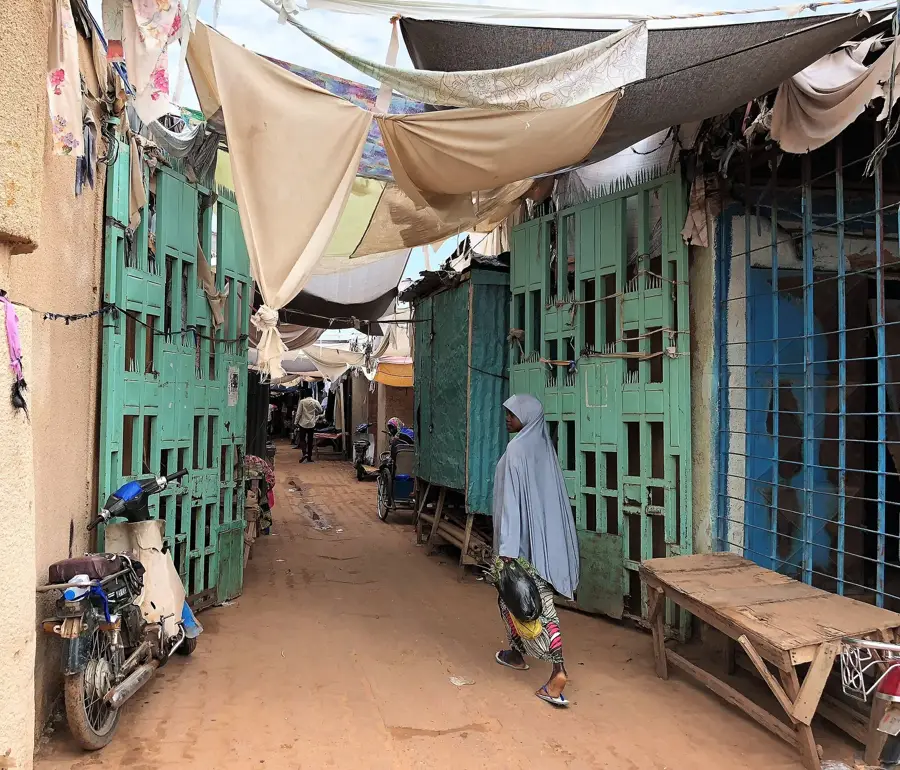
A bustling hub where you can buy locally grown agricultural products and spices.
Look for colorful West African fabrics sold by merchants in the main trading streets.
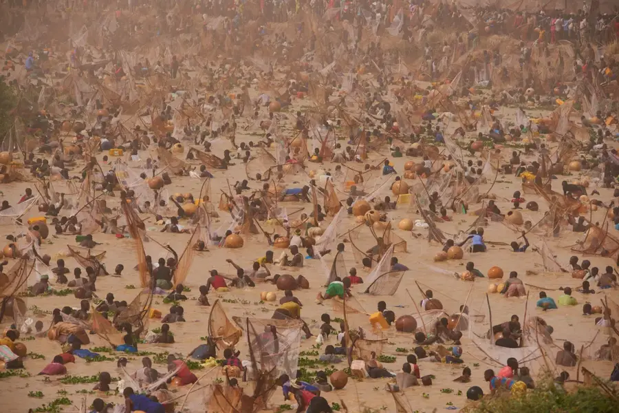
Find a quiet spot along the riverbank away from the bridge to watch the traditional pirogues gently passing by.
Take a walk on the outskirts of the town where ancient baobab trees provide shade and tranquility.
Water temperature…
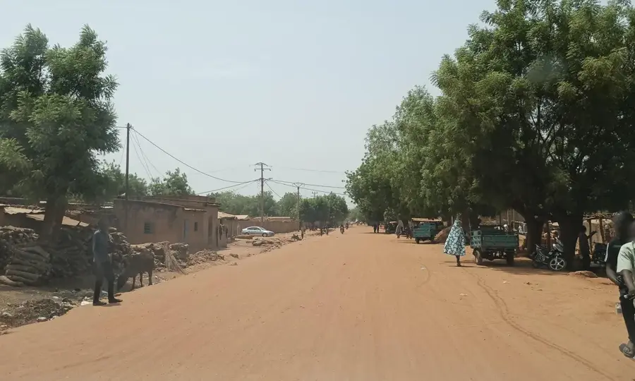
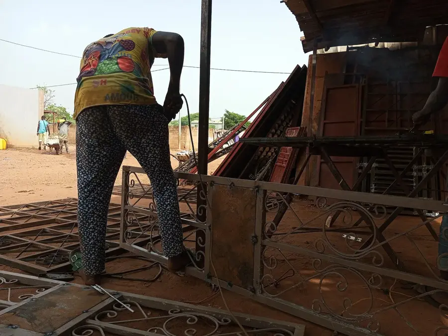
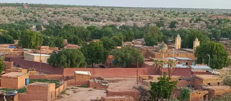
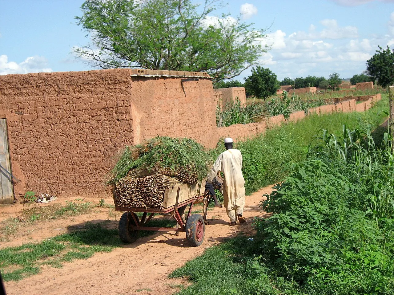
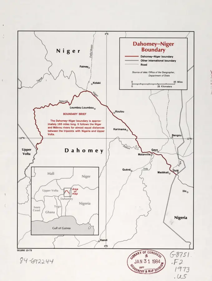
Gaya is located in southwestern Niger in the Dosso Region, situated on the banks of the Niger River directly at the border with Benin. Its strategic position along National Route 7 makes the city a significant commercial hub and a vital border crossing for freight traffic between the Gulf of Guinea and the West African interior. Climatically, Gaya is recognized as the wettest city in Niger, receiving an average annual rainfall of approximately 800 mm, which supports more intensive agricultural activities than in the arid northern regions. Historically, the area served as a crucial link in the trade networks connecting the Hausa states with the southern forest kingdoms. Today, the local economy is primarily driven by cross-border trade, fishing in the Niger River, and the cultivation of millet and sorghum. With a population exceeding 60,000 residents, the city functions as the administrative capital of the department bearing its name and remains a key logistics node.
- Location: Niger
- Population: ~61.533 (2024)
Best time to visit & climate
The most pleasant time to visit is Jan, Nov, Dec.
| Jan | Feb | Mar | Apr | May | Jun | Jul | Aug | Sep | Oct | Nov | Dec | |
|---|---|---|---|---|---|---|---|---|---|---|---|---|
| Avg °C | 24 | 28 | 31 | 33 | 32 | 30 | 28 | 27 | 27 | 27 | 26 | 24 |
| Rain mm | 0 | 1 | 5 | 17 | 59 | 96 | 153 | 225 | 145 | 44 | 1 | 0 |
Geography
Facts
- Annual rainfall of approx. 800 mm (wettest location in Niger)
- Major border crossing to Malanville in Benin
- Located in the Dosso Region on the Niger River banks
- Significant market for grain and agricultural trade
- Connected to National Road 7 leading to Niamey
- Urban population exceeding 60,000 residents
Explore nearby
Notable places around
Route planner — Car & Motorhome
Where do you start? We build the route here, with stops and country notes along the way.
© OpenStreetMap contributors · OpenRouteService
Sights in the town Gaya (1)
Frequently asked questions
Where is Gaya located?
Is Gaya a tourist destination?
Are there attractions nearby?
What is the climate like?
Is the city safe?
Gaya: where is it located?
Gaya: when is the best time to visit?
Gaya: why is it worth visiting?

Nearby cities

History & landmarks
Nature
More places