Plizio Visual Lab
Meijendel
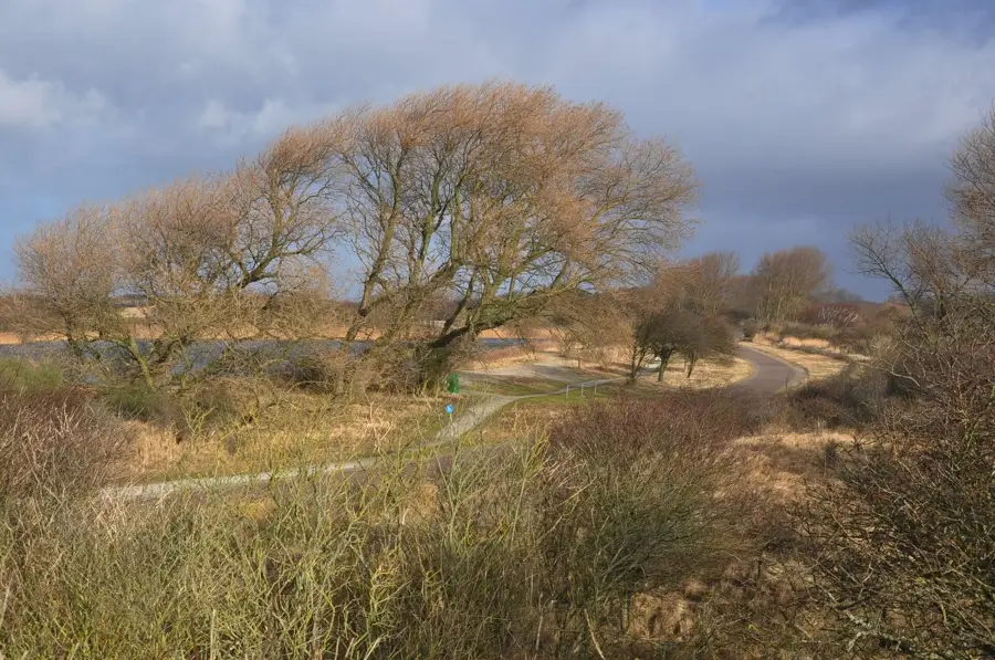
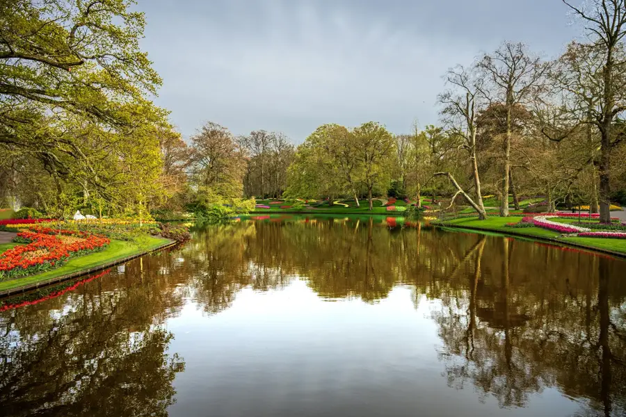
Meijendel is a 2,000-hectare dune area north of The Hague, South Holland, part of the Natura 2000 network. It features calcareous dunes, grey dunes, dune lakes, and moist valleys. The vegetation includes marram grass, sea buckthorn, and various orchids such as the early marsh orchid. The area supplies drinking water to The Hague through natural sand filtration. Geologically, the dunes formed over the past 1,000 years from windblown sand deposited by the North Sea. Meijendel is a breeding ground for birds like the little ringed plover and woodlark. The terrain gives hiking trails through diverse habitats, from open sand to dense scrub. Conservation efforts focus on preserving biodiversity and controlling invasive species like the American black cherry.
- Location: South Holland, Netherlands
- Top sights: Abelentop · Meijendelse Berg · Meijendel - vogelkijkscherm
- Nearby: Scheveningen (5 km)
Best time to visit & climate
The most pleasant time to visit is Jun–Aug.
| Jan | Feb | Mar | Apr | May | Jun | Jul | Aug | Sep | Oct | Nov | Dec | |
|---|---|---|---|---|---|---|---|---|---|---|---|---|
| Avg °C | 4 | 4 | 6 | 9 | 13 | 16 | 18 | 18 | 16 | 12 | 8 | 5 |
| Rain mm | 77 | 66 | 55 | 38 | 56 | 62 | 78 | 87 | 70 | 79 | 81 | 85 |
📋 Practical info
Geography
Facts
- Area: 2,000 hectares
- Highest dune: approximately 40 meters above sea level
- Formation: around 1,000 years ago
- Breeding bird species: over 60
- Drinking water production: 100 million cubic meters per year
- Annual visitors: approximately 3 million
Explore nearby
Notable places around
Route planner — Car & Motorhome
Where do you start? We build the route here, with stops and country notes along the way.
© OpenStreetMap contributors · OpenRouteService
Sights in the town Meijendel (10)
Meijendel - vogelkijkscherm
Bird watching screen in the Meijendel dune area.
Landgoed Heibloem
Nature reserve with heath and dunes in Meijendel.
Fusillade- en herdenkingsterrein Waalsdorpervlakte
Public artwork by an unknown maker in The Hague.
Museum Voorlinden🏛 museum
Museum of modern art in Wassenaar with changing exhibitions.
Landgoed Voorlinden
Park-like nature reserve surrounding Museum Voorlinden.
American Protestant Church Of The Hague
Church building of the American Protestant community in The Hague.
Sights nearby
Frequently asked questions
Where is Meijendel located?
Is cycling allowed there?
Are there any dining options?
Is Meijendel good for kids?
What animals live there?
Meijendel: where is it located?
Meijendel: what is there to see?
Meijendel: when is the best time to visit?
Meijendel: why is it worth visiting?

Nearby cities
History & landmarks