Plizio Visual Lab
Auas Mountains

Weather…
Water temperature…
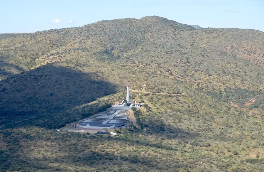
The Auas Mountains are a prominent mountain range in Namibia's central highlands, situated directly southeast of the capital city, Windhoek. Stretching over a length of about 50 kilometers, they house the Moltkeblick, the second-highest peak in the country. Geologically, the mountains consist mainly of quartzite and mica schist, shaped over millions of years by tectonic uplift and erosion. The range forms a significant watershed in the region and considerably influences Windhoek's local climate. Due to their elevation, the Auas Mountains frequently intercept rain clouds, resulting in comparatively lush vegetation with numerous acacia and aloe species. Wildlife includes mountain zebras, kudu, and a variety of birds of prey that nest in the steep cliffs. Historically, the mountains were an obstacle to early colonial exploration, but today they serve as a recreational area and a vital location for communication towers. The Auas range is a crucial element of Namibian landscape ecology, shielding the Windhoek basin from the dry winds of the Kalahari. Hiking trails lead to various viewpoints offering vast vistas over the highlands.
- Location: Namibia
- Nearby: Rehoboth (61 km)
Best time to visit & climate
The most pleasant time to visit is Sep–Nov.
| Jan | Feb | Mar | Apr | May | Jun | Jul | Aug | Sep | Oct | Nov | Dec | |
|---|---|---|---|---|---|---|---|---|---|---|---|---|
| Avg °C | 24 | 23 | 22 | 19 | 16 | 12 | 12 | 15 | 20 | 23 | 23 | 24 |
| Rain mm | 90 | 91 | 84 | 57 | 6 | 2 | 1 | 1 | 5 | 21 | 34 | 53 |
📋 Practical info
Geography
Facts
- Moltkeblick is the highest point of the range at 2,484 m.
- The mountain range is approximately 50 km long.
- It is the second-highest mountain formation in Namibia.
- The rock belongs to the Damara Belt complex.
- The mountains form the southern boundary of the Windhoek basin.
- Rare highland succulents can be found on the slopes.
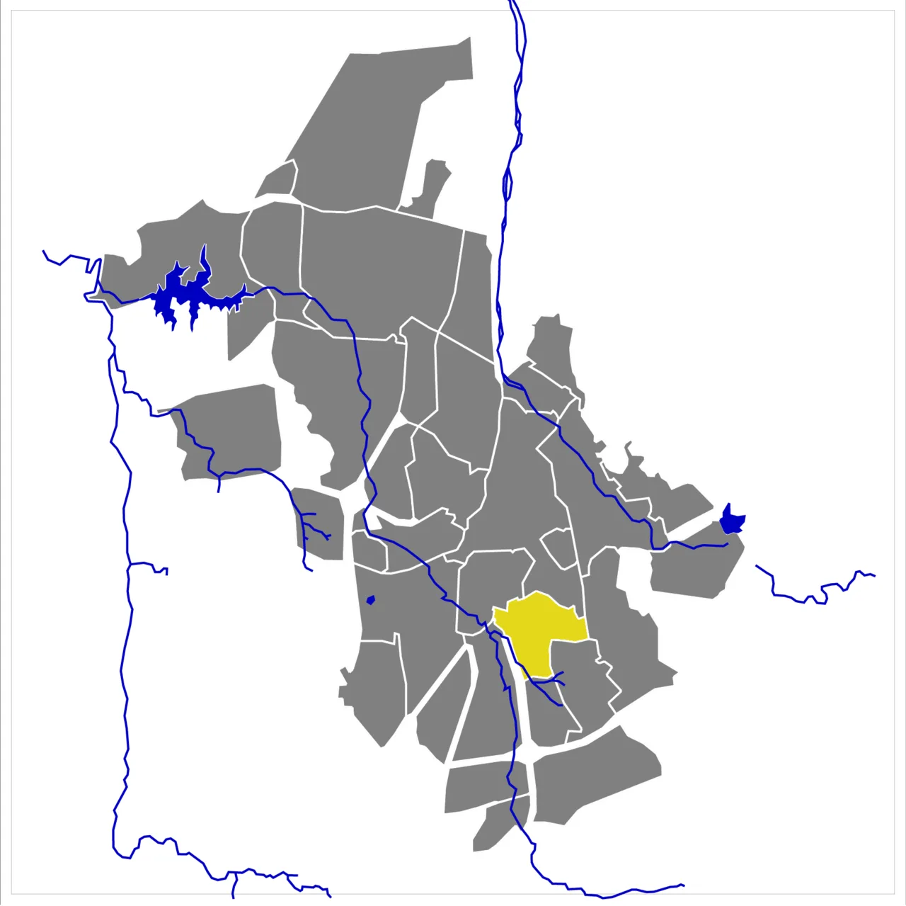
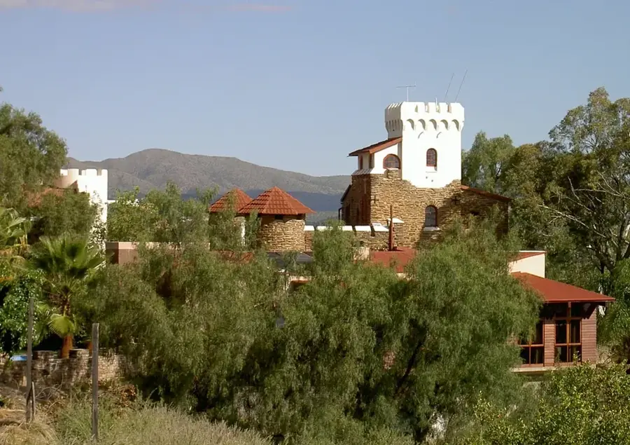
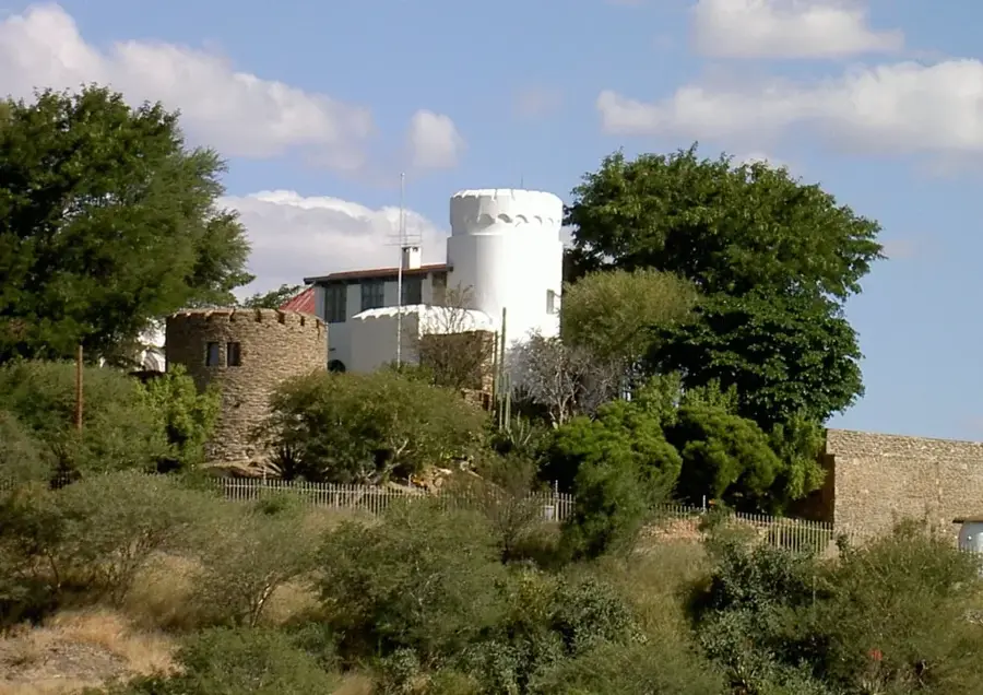
Explore nearby
Notable places around
Route planner — Car & Motorhome
Where do you start? We build the route here, with stops and country notes along the way.
© OpenStreetMap contributors · OpenRouteService
Sights in the town Auas Mountains (1)
Sights nearby
Frequently asked questions
Is hiking in the Auas Mountains challenging?
Are there marked hiking trails?
When is the best time to visit?
Where can I find parking?
Are there accommodations nearby?
Auas Mountains: where is it located?
Auas Mountains: when is the best time to visit?
Auas Mountains: why is it worth visiting?

Nearby cities

History & landmarks


More places