Plizio Visual Lab
Lupata Massif

Weather…
Water temperature…
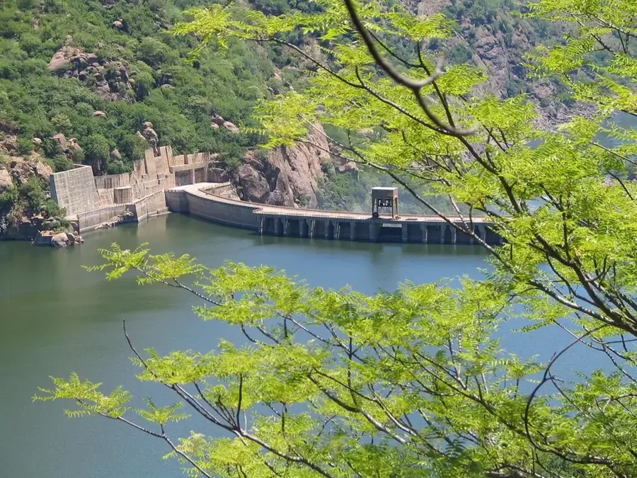
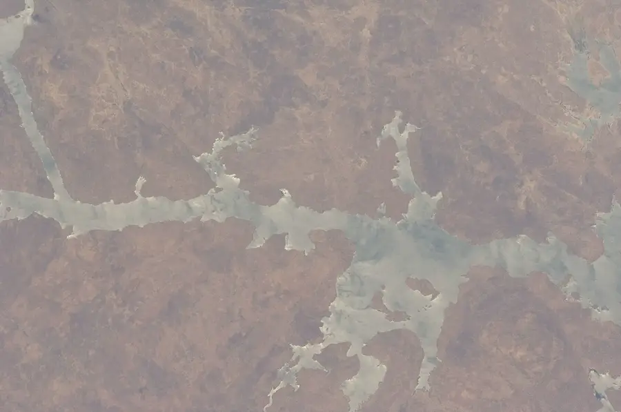
The Lupata Massif is a formidable geological formation in Tete Province, where the Zambezi River cuts a dramatic gorge through hard volcanic rock. Often referred to as the 'Gates of the Zambezi,' this narrow passage is one of the most striking natural features of Mozambique's interior. The massif is primarily composed of rhyolite and other volcanic materials, forming steep cliffs that rise up to 200 meters above the churning river waters. Historically, the Lupata Gorge was a significant obstacle for early river navigation and was extensively documented by explorers like David Livingstone during his 19th-century expeditions. The gorge constricts the otherwise broad Zambezi to a width of only about 200 meters, significantly increasing the water's velocity and creating powerful eddies. Geographically, it marks a transition point between the middle Zambezi plateaus and the lower alluvial plains. Today, it remains a remote and pristine area, serving as a sanctuary for various raptor species that nest along its inaccessible vertical faces.
- Location: Mozambique
- Nearby: Catandica (77 km)
Best time to visit & climate
The most pleasant time to visit is May, Jun, Aug.
| Jan | Feb | Mar | Apr | May | Jun | Jul | Aug | Sep | Oct | Nov | Dec | |
|---|---|---|---|---|---|---|---|---|---|---|---|---|
| Avg °C | 25 | 24 | 24 | 22 | 20 | 19 | 19 | 21 | 24 | 26 | 27 | 26 |
| Rain mm | 228 | 181 | 131 | 41 | 13 | 11 | 17 | 3 | 9 | 20 | 89 | 208 |
📋 Practical info
Geography
Facts
- Constricts the Zambezi River to a width of only 200 meters.
- Composed of resistant volcanic rhyolite formations.
- Features vertical cliffs rising up to 200 meters above water.
- Historically known as the 'Gates of the Zambezi'.
- Extensively documented by David Livingstone in 1858.
- Vital nesting site for various rare African raptor species.
Explore nearby
Notable places around
Route planner — Car & Motorhome
Where do you start? We build the route here, with stops and country notes along the way.
© OpenStreetMap contributors · OpenRouteService
Sights nearby
Frequently asked questions
Is the Lupata Massif touristically developed?
What vehicle is required there?
Are there hiking maps there?
Is the area suitable for camping?
Is there water there?
Lupata Massif: where is it located?
Lupata Massif: when is the best time to visit?
Lupata Massif: why is it worth visiting?

Nearby cities
Nature
More places