Plizio Visual Lab
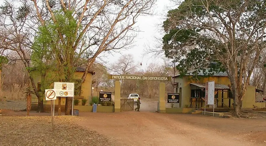
Mount Gorongosa

Weather…
Water temperature…
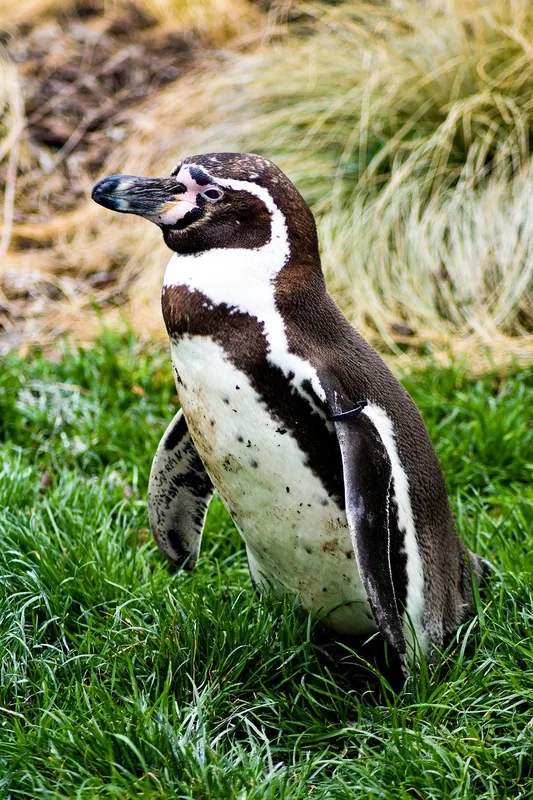
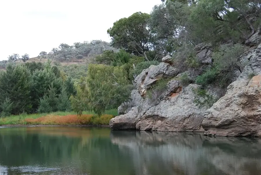
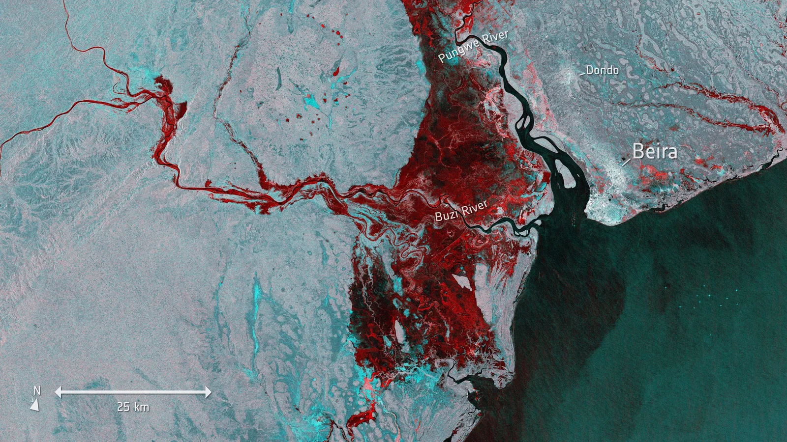
Mount Gorongosa is an isolated granitic massif in central Mozambique's Sofala Province, reaching its highest point at Ponta Gogogo at 1,863 meters above sea level. The mountain serves as a vital ecological cornerstone for the adjacent Gorongosa National Park, acting as a watershed that supplies the Vunduzi and Urema rivers. Its upper slopes are draped in rare afromontane rainforests and montane grasslands, which are home to numerous endemic species of plants, amphibians, and birds. Historically, the mountain was a strategic stronghold during the Mozambican Civil War, leading to significant environmental stress, but extensive restoration efforts since the 2000s have revitalized its forests. To the local indigenous people, the mountain is a sacred site where ancestral spirits are honored through traditional ceremonies. In 2010, the mountain was formally integrated into the Gorongosa National Park's boundaries to ensure the permanent protection of its unique primary forests. The climate on the massif is notably cooler and wetter than the surrounding lowlands, creating a distinct ecological island.
- Location: Mozambique
- Nearby: Gorongosa (40 km)
Best time to visit & climate
The most pleasant time to visit is Jun–Aug.
| Jan | Feb | Mar | Apr | May | Jun | Jul | Aug | Sep | Oct | Nov | Dec | |
|---|---|---|---|---|---|---|---|---|---|---|---|---|
| Avg °C | 27 | 26 | 26 | 24 | 23 | 21 | 21 | 23 | 26 | 28 | 29 | 28 |
| Rain mm | 228 | 179 | 169 | 75 | 26 | 20 | 33 | 6 | 15 | 33 | 83 | 207 |
📋 Practical info
Geography
Facts
- Highest peak is Ponta Gogogo (1,863 m)
- Integral part of Gorongosa National Park
- Critical watershed for the central region
- Home to rare afromontane rainforests
- Formally added to the park in 2010
- Major center for biological endemism
Explore nearby
Notable places around
Route planner — Car & Motorhome
Where do you start? We build the route here, with stops and country notes along the way.
© OpenStreetMap contributors · OpenRouteService
Sights nearby
Frequently asked questions
How demanding is the climb?
Is there accommodation there?
What is the best season?
Do you have to pay entry for the mountain?
Are there dangerous animals there?
Mount Gorongosa: where is it located?
Mount Gorongosa: when is the best time to visit?
Mount Gorongosa: why is it worth visiting?

Nearby cities

Nature
More places