Plizio Visual Lab
Nhamatanda
ℹ️Practical info — Nhamatanda
▾
🌤 Weather — 5 days
📍 Nearby
Sights nearby
💡 Tips
- Be mindful of the heavy truck traffic along the Beira corridor; the town is a key stopover for long-haul drivers.
- Visit the local market near the railway line in the early morning for the freshest tropical fruits.
- Use Nhamatanda as a practical supply stop if you are traveling between Beira and Gorongosa National Park.
- Prepare for high humidity and wear light, breathable cotton clothing.
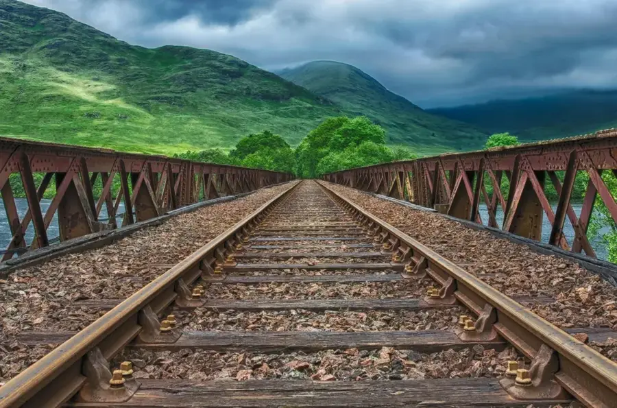
- Watch the trains passing through on the Beira railway; the station area is a central hub of local life.
🍽 Food
Try the spicy grilled chicken at the roadside eateries along the main highway corridor.
Buy seasonal fruits directly from roadside farmers on the outskirts of town.
Tasty deep-fried bean cakes often sold as a morning snack in the local market.
🛍 Shopping · 🧘 Quiet spots
The central market gives everything from textiles to local food staples.
First-rate for picking up cashews and snacks for your ongoing journey.
A calmer spot to observe local life outside of peak transit hours.
A walk on the outskirts features a view of the region's rice and maize farming.
Water temperature…
Nhamatanda is a town in the Sofala Province of central Mozambique, playing a pivotal role as a transportation hub along the Beira Corridor. Geographically, it is situated in the alluvial plains of the Pungwe River, a region characterized by fertile soils that support intensive commercial farming. The town serves as a major center for the production of cotton, maize, and sugarcane, with several large-scale agricultural enterprises operating in its vicinity. In recent history, Nhamatanda gained international attention when it was severely impacted by Cyclone Idai in 2019, resulting in massive flooding and widespread destruction of local infrastructure. Despite these setbacks, the town remains a vital transit point for goods moving along the EN6 highway between the port of Beira and the interior. The local population is primarily composed of the Ndau and Shona ethnic groups, whose livelihoods are traditionally tied to the agricultural rhythms of the Pungwe basin.
- Location: Mozambique
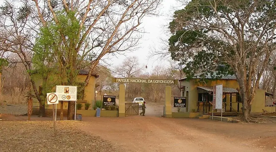
- Nearby: Gorongosa (56 km)
- Population: ~30.087 (2024)
Best time to visit & climate
The most pleasant time to visit is May, Jun, Aug.
| Jan | Feb | Mar | Apr | May | Jun | Jul | Aug | Sep | Oct | Nov | Dec | |
|---|---|---|---|---|---|---|---|---|---|---|---|---|
| Avg °C | 27 | 26 | 25 | 23 | 22 | 20 | 20 | 22 | 25 | 27 | 28 | 27 |
| Rain mm | 226 | 189 | 181 | 86 | 32 | 24 | 29 | 8 | 21 | 44 | 104 | 249 |
Geography
Facts
- Nhamatanda is located approximately 100 kilometers west of Beira.
- The town serves as the administrative capital of the Nhamatanda District.
- The Pungwe River to the north is essential for local irrigation systems.
- In 2019, Cyclone Idai caused catastrophic flooding throughout the town.
- The EN6 national highway bisects the town from East to West.
- Cotton has been the region's primary cash crop since the colonial era.
Explore nearby
Notable places around
Route planner — Car & Motorhome
Where do you start? We build the route here, with stops and country notes along the way.
© OpenStreetMap contributors · OpenRouteService
Frequently asked questions
Where is Nhamatanda?
Is it a transit point?
What can you see?
What is the climate like?
When to travel?
Nhamatanda: where is it located?
Nhamatanda: when is the best time to visit?
Nhamatanda: why is it worth visiting?

Nearby cities

History & landmarks

Nature
More places