Plizio Visual Lab
Gorongosa

ℹ️Practical info — Gorongosa
▾
🌤 Weather — 5 days
📍 Nearby
Sights nearby
💡 Tips
- The town itself is small; use it primarily as a base for stocking up before entering the National Park.
- Ensure you have malaria prophylaxis and insect repellent, as mosquitoes are prevalent.
- 4x4 vehicles are highly recommended if you plan to drive into the park yourself.
- Hire a local guide for the best wildlife spotting opportunities.
🍽 Food
A traditional Mozambican dish made from cassava leaves, peanut sauce, and coconut milk, found in local guesthouses.
Grilled chicken often served with spicy piri-piri sauce at roadside eateries.
Buy fresh mangoes and bananas from vendors on the main street.
🛍 Shopping · 🧘 Quiet spots
Good for basic supplies, bottled water, and local snacks before heading to the park.
Support local conservation by buying locally made souvenirs near the park entrance.
The buffer zone around the national park gives incredibly peaceful nature sounds at dusk.
Quiet spots where locals grow their vegetables just outside the main town area.
Water temperature…
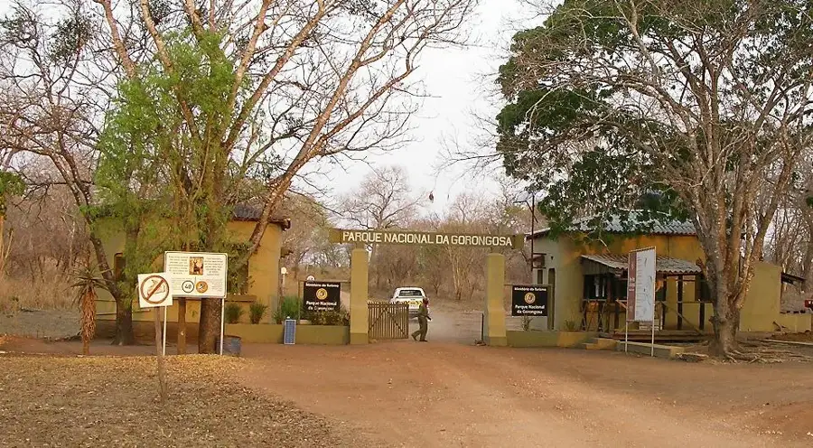
Gorongosa is a historically and ecologically prominent town in the Sofala Province, situated at the eastern edge of the Great African Rift Valley. The town serves as the primary gateway to the world-renowned Gorongosa National Park, one of Africa's most biodiverse protected areas, which has undergone extensive restoration following the civil war. The regional geography is dominated by the majestic Mount Gorongosa, reaching over 1,800 meters, which acts as a vital water catchment for the surrounding ecosystems. Historically, the town was of significant strategic importance, serving as the headquarters for the RENAMO opposition movement for many years during the Mozambican Civil War. Today, Gorongosa is transitioning into a hub for conservation and ecotourism, with the local economy benefiting from park-related employment and sustainable farming initiatives. The fertile volcanic soils on the mountain slopes now support high-quality coffee production, integrating local communities into the conservation economy.
- Location: Mozambique
- Nearby: Nhamatanda (56 km)
- Population: ~21.792 (2024)
Best time to visit & climate
The most pleasant time to visit is May, Aug, Sep.
| Jan | Feb | Mar | Apr | May | Jun | Jul | Aug | Sep | Oct | Nov | Dec | |
|---|---|---|---|---|---|---|---|---|---|---|---|---|
| Avg °C | 25 | 24 | 23 | 21 | 19 | 18 | 18 | 20 | 23 | 25 | 26 | 25 |
| Rain mm | 251 | 199 | 182 | 82 | 25 | 23 | 30 | 7 | 18 | 39 | 100 | 247 |
Geography
Facts
- The town is located near the southern end of the Great Rift Valley.
- Mount Gorongosa reaches a peak elevation of 1,863 meters.
- Gorongosa National Park was officially established in 1960.
- A massive ecosystem restoration project began in the park in 2004.
- High-quality Arabica coffee is now cultivated on the mountain's upper slopes.
- The town is a significant service stop on the EN1 national highway.
Explore nearby
Notable places around
Route planner — Car & Motorhome
Where do you start? We build the route here, with stops and country notes along the way.
© OpenStreetMap contributors · OpenRouteService
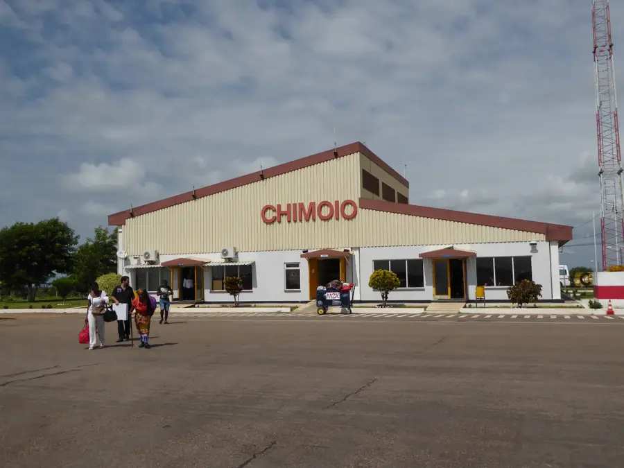
Sights in the town Gorongosa (1)
Frequently asked questions
Why visit Gorongosa?
When is the best time?
How many days to plan?
Are there accommodations?
Is it family-friendly?
Gorongosa: where is it located?
Gorongosa: when is the best time to visit?
Gorongosa: why is it worth visiting?

Nearby cities
History & landmarks

More places