Plizio Visual Lab
Fort of São Lourenço
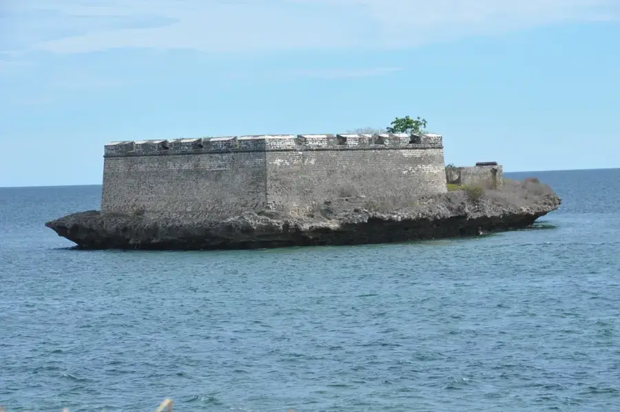
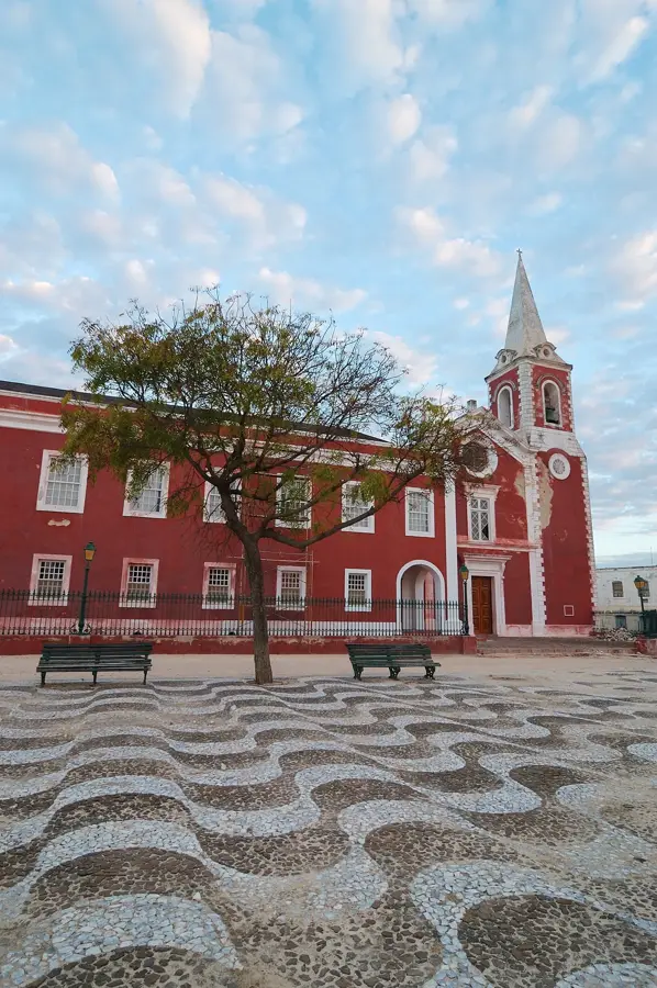
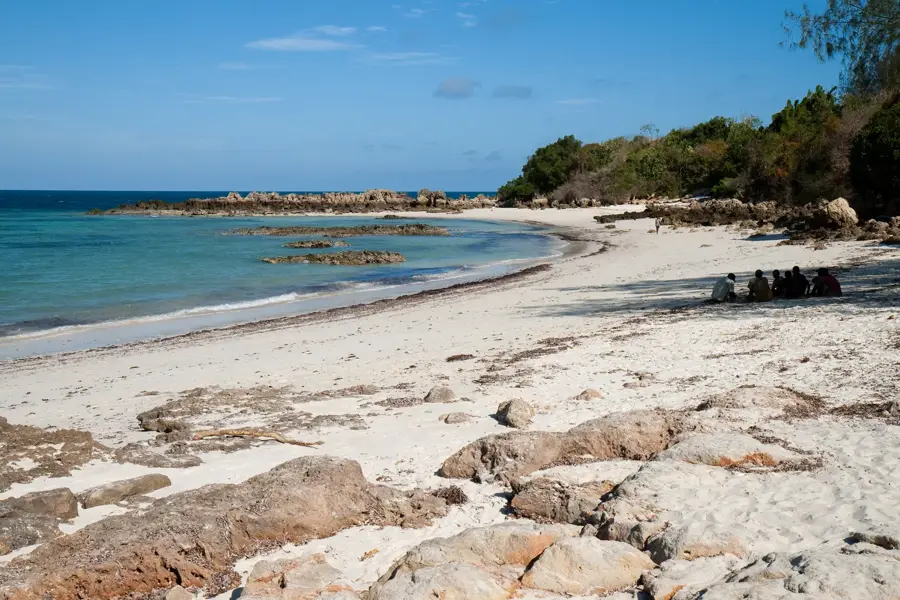
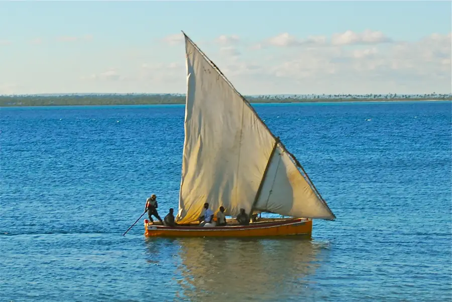
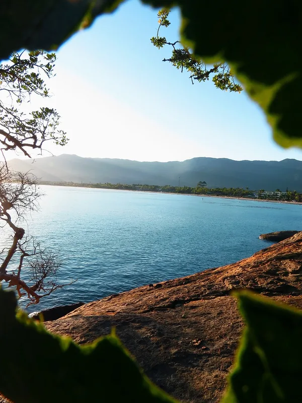
The Fort of São Lourenço is situated on a tiny islet of the same name just off the southern tip of the Island of Mozambique (Ilha de Moçambique). It was constructed by the Portuguese in the late 17th century to defend the southern approach to the island's harbor, which was then a crucial hub for Indian Ocean trade. The fortification features a distinct square layout with corner bastions and was built using local coral limestone. Due to its exposed position on an isolated rock in the sea, the fort provided an excellent vantage point over approaching vessels but was simultaneously subject to the harsh elements of the open ocean. Along with the larger Fort of São Sebastião, it formed an effective defensive system for the colonial capital. Today, the ruins are a popular destination for boat tours from the main island, offering spectacular views of the ocean and the Nampula coastline. The fort is part of the Island of Mozambique UNESCO World Heritage site and stands as a vital example of 17th-century military engineering. Its solitary setting makes it one of the most scenic historical locations in all of Mozambique.
- Location: Mozambique
- Nearby: Chocas-Mar (9 km)
Best time to visit & climate
The most pleasant time to visit is Jul–Sep.
| Jan | Feb | Mar | Apr | May | Jun | Jul | Aug | Sep | Oct | Nov | Dec | |
|---|---|---|---|---|---|---|---|---|---|---|---|---|
| Avg °C | 27 | 27 | 27 | 27 | 26 | 25 | 24 | 24 | 25 | 27 | 28 | 28 |
| Rain mm | 336 | 240 | 160 | 104 | 17 | 33 | 21 | 16 | 8 | 18 | 34 | 136 |
📋 Practical info
Geography
Facts
- Built: Late 17th century (approx. 1695)
- Location: On a small islet south of the Island of Mozambique
- Material: Local coral limestone
- Status: Part of the UNESCO World Heritage site
- Purpose: Defense of the southern harbor entrance
- Architecture: Square layout with corner bastions
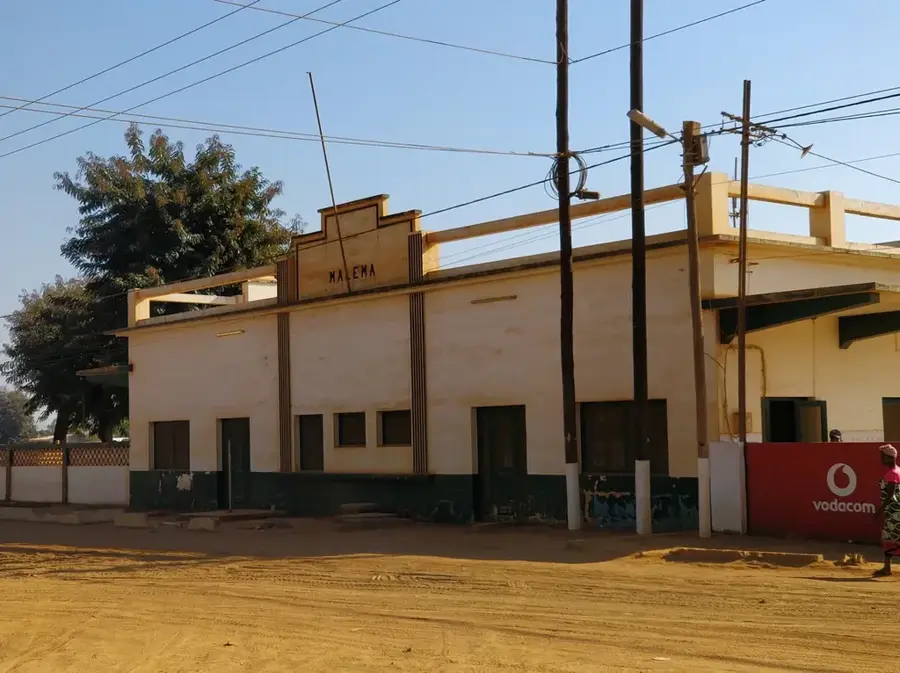
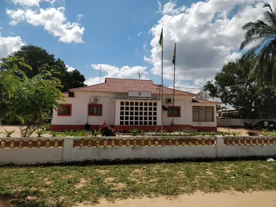
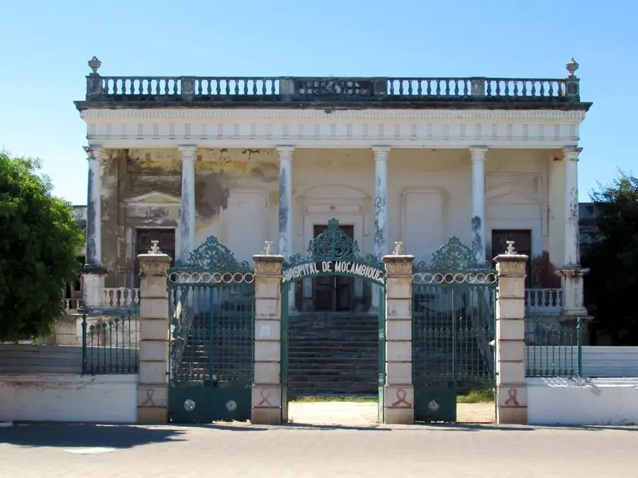
Explore nearby
Notable places around
Route planner — Car & Motorhome
Where do you start? We build the route here, with stops and country notes along the way.
© OpenStreetMap contributors · OpenRouteService
Sights in the town Fort of São Lourenço (1)
Sights nearby
Frequently asked questions
Is Fort São Lourenço open to the public?
What is the best season?
Can I walk on the walls?
Are there restrooms?
Is it stroller friendly?
Fort of São Lourenço: where is it located?
Fort of São Lourenço: when is the best time to visit?
Fort of São Lourenço: why is it worth visiting?

Nearby cities


History & landmarks
More places