Plizio Visual Lab
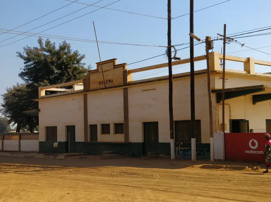
Malema
ℹ️Practical info — Malema
▾
🌤 Weather — 5 days
📍 Nearby
Sights nearby
💡 Tips
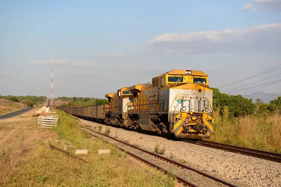
- Use the railway connecting Nampula and Cuamba for a scenic travel experience.
- Explore the surrounding farmland to see why Malema is called the 'Granary' of the north.
- Exercise caution near the river, as elephants occasionally wander into the area.
- Try the seasonal mangoes and bananas, which are exceptionally sweet in this region.
- Be prepared for very basic amenities, as the town is a commercial rather than tourist hub.
🍽 Food
Maize porridge served with local pigeon peas, a staple found in the market district.
Bananas and papayas sold straight from the farms at stalls near the train station.
Simple but flavorful free-range chicken served in central eateries.
🛍 Shopping · 🧘 Quiet spots
A lively spot to buy grains, legumes, and colorful capulana fabrics.
Browse local seeds and crops in the commercial heart of the district.
Quiet spots along the river offer a cool breeze and relaxation away from the center.
Walk up to the nearby hills for a broad view of the vast agricultural plantations.
Water temperature…
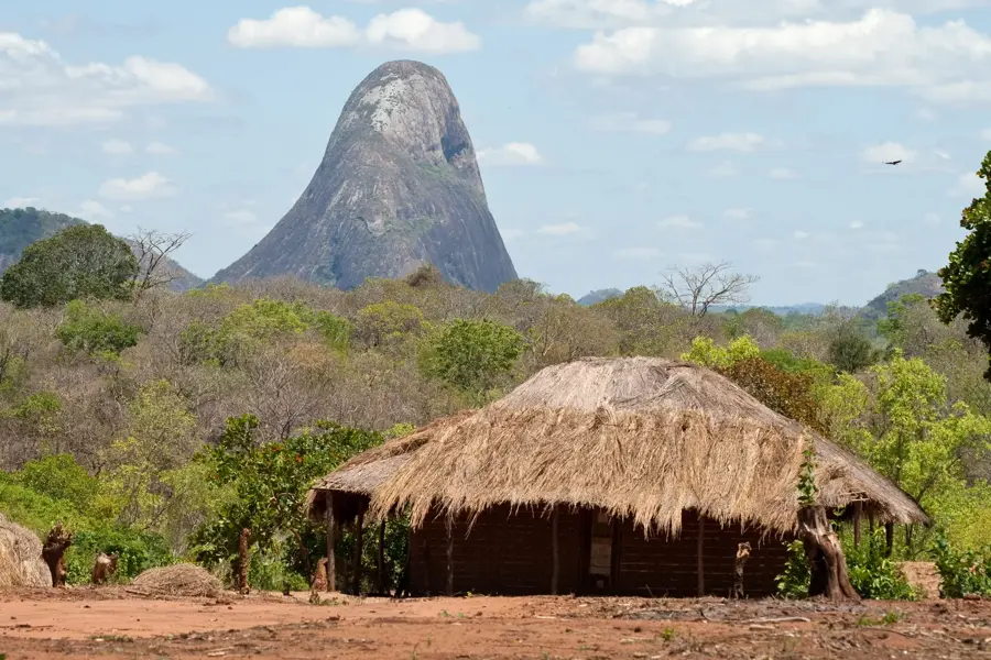
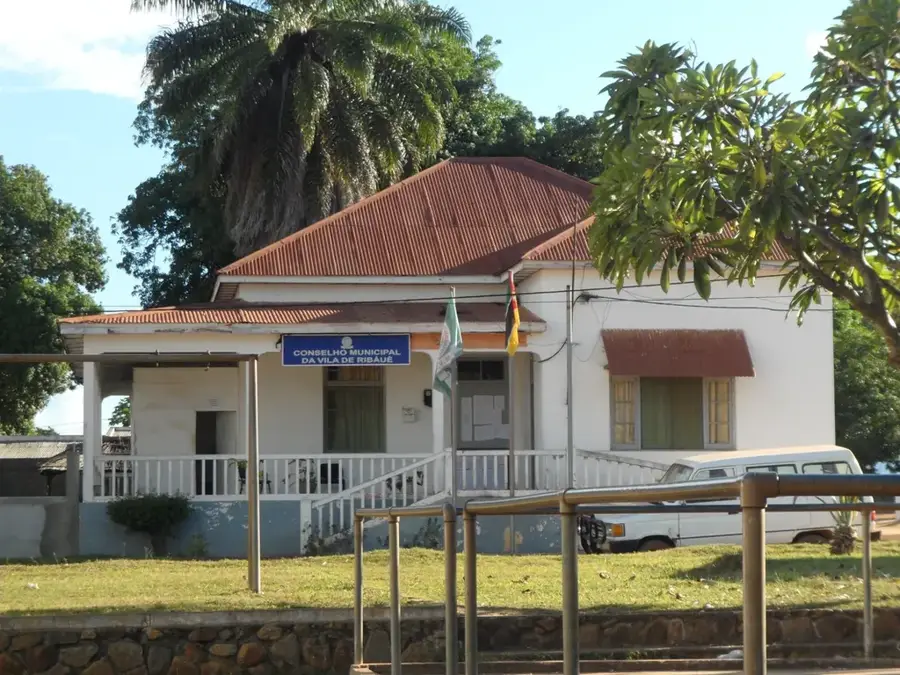
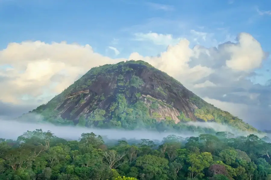
Malema is a town and the administrative capital of Malema District, located in the Nampula Province of northeastern Mozambique. The geographical landscape of the area is defined by striking inselbergs, with Mount Malema being one of the most prominent granite peaks in the region. The local climate supports a robust agricultural sector, which forms the backbone of the economy, focusing on the production of tobacco, cotton, and maize. Historically, the town grew during the colonial era as a significant stop along the railway line connecting the interior regions to the deep-water port of Nacala. This railway continues to be a critical infrastructure asset for the transportation of agricultural goods and passengers across the northern corridor. Malema serves as a primary commercial hub for surrounding rural communities and is noted for its fertile lands and specialized seed production. The cultural identity of the district is deeply influenced by the traditions of the Macua people, who constitute the majority of the population.
- Location: Mozambique
- Nearby: Mount Namuli (56 km)
- Population: ~23.553 (2024)
Geography
Facts
- Malema is strategically located on the Nacala Corridor railway line.
- Mount Malema is a significant geological inselberg overlooking the town.
- The district is a major producer of commercial crops like tobacco and cotton.
- It serves as the administrative seat for one of Nampula's populous districts.
- The Malema River provides essential water resources for local agriculture.
- The Macua ethnic group makes up the majority of the local resident population.
Explore nearby
Notable places around
Route planner — Car & Motorhome
Where do you start? We build the route here, with stops and country notes along the way.
© OpenStreetMap contributors · OpenRouteService
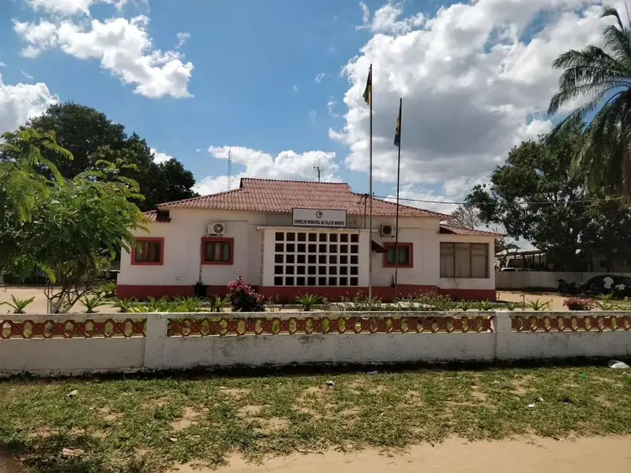
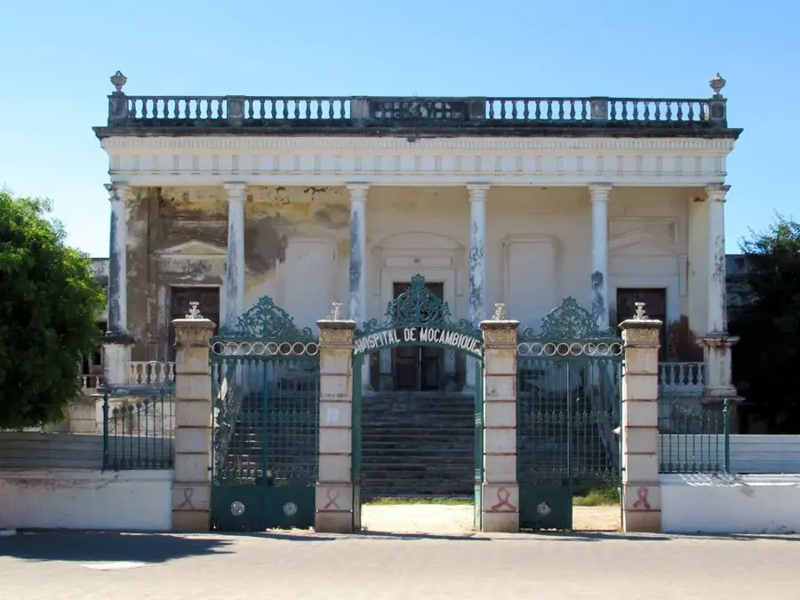
Sights in the town Malema (1)
Frequently asked questions
What can you experience in Malema?
Are there good restaurants in Malema?
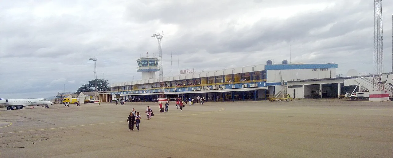
What is the best way to travel to Malema?
Are special precautions needed in Malema?
When is the most pleasant time to visit?
Malema: where is it located?
Malema: why is it worth visiting?

Nearby cities


History & landmarks
More places