Plizio Visual Lab
Chimoio Plateau

Weather…
Water temperature…
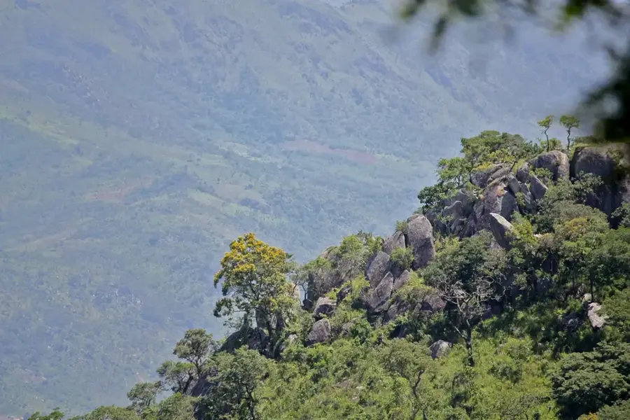
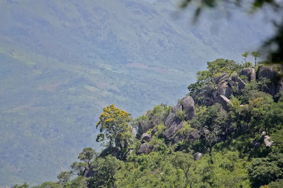
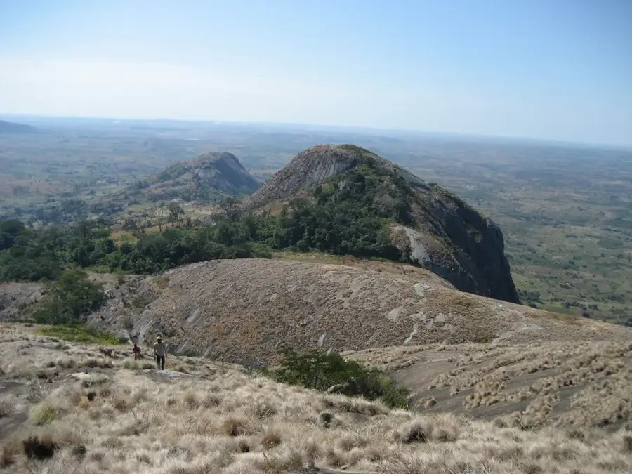
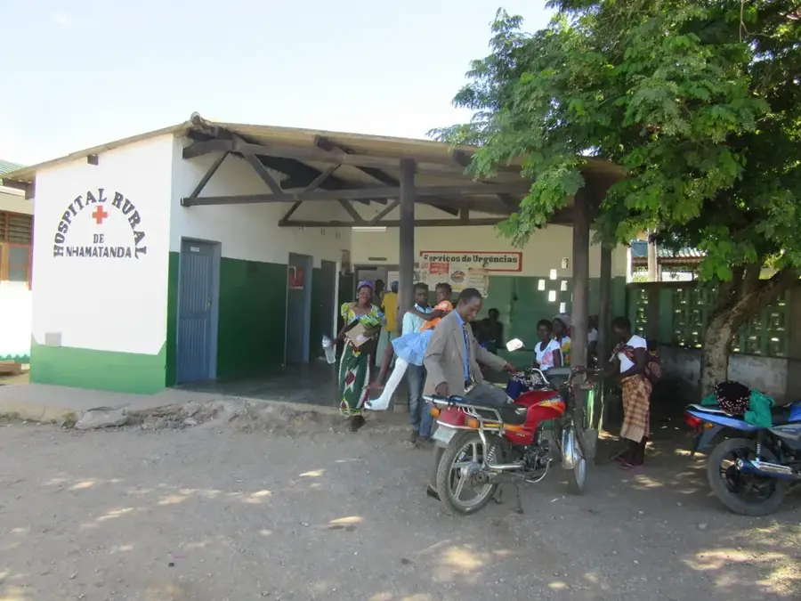
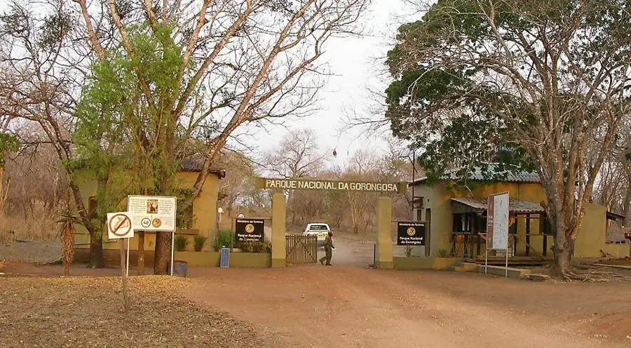
The Chimoio Plateau is located in the Manica Province of western Mozambique, serving as a vital geographic bridge between the coastal lowlands and the eastern highlands of Zimbabwe. Situated at an average altitude of 700 meters, the plateau enjoys a subtropical climate that is significantly cooler and wetter than the surrounding plains. Geologically, the area is characterized by fertile soils and dramatic granite inselbergs, most notably the Cabeça do Velho, a rock formation resembling an elderly man's face. These conditions have established the plateau as one of Mozambique's premier agricultural hubs, specializing in the production of maize, tobacco, and various citrus fruits. The city of Chimoio, located at the heart of the plateau, grew rapidly during the colonial era due to its position along the Beira Corridor, a critical rail and road link. Today, the plateau remains a strategic economic corridor connecting the Port of Beira to landlocked neighbors like Zimbabwe and Malawi.
- Location: Mozambique
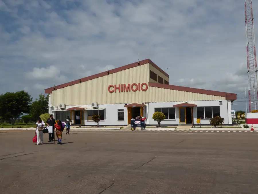
- Nearby: Chimoio (6 km)
Best time to visit & climate
The most pleasant time to visit is May, Aug, Sep.
| Jan | Feb | Mar | Apr | May | Jun | Jul | Aug | Sep | Oct | Nov | Dec | |
|---|---|---|---|---|---|---|---|---|---|---|---|---|
| Avg °C | 25 | 25 | 24 | 22 | 20 | 18 | 18 | 20 | 23 | 25 | 26 | 26 |
| Rain mm | 244 | 193 | 191 | 89 | 30 | 25 | 32 | 8 | 20 | 42 | 103 | 242 |
📋 Practical info
Geography
Facts
- Average elevation of the plateau is 700 meters.
- Leading producer of maize and tobacco in Mozambique.
- Home to the famous Cabeça do Velho rock formation.
- Key location along the strategic Beira Corridor.
- Features a cooler climate than the coastal lowlands.
- Characterized by granite inselbergs and fertile soil.
Explore nearby
Notable places around
Route planner — Car & Motorhome
Where do you start? We build the route here, with stops and country notes along the way.
© OpenStreetMap contributors · OpenRouteService
Sights nearby
Frequently asked questions
Is the Chimoio-Plateau suitable for hikers?
What are the local specialties?
Is the region well-connected?
How long should one stay there?
Are there campsites there?
Chimoio Plateau: where is it located?
Chimoio Plateau: when is the best time to visit?
Chimoio Plateau: why is it worth visiting?

Nearby cities
More places