Plizio Visual Lab
Manica
ℹ️Practical info — Manica
▾
🌤 Weather — 5 days
📍 Nearby
Sights nearby
💡 Tips
- Visit Chinhamapere to see the impressive ancient San rock paintings.
- The town is in a gold-mining region; be respectful of local miners and their work.
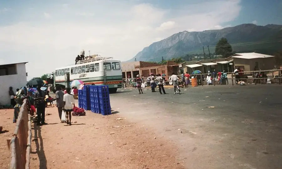
- Take advantage of the proximity to the Zimbabwe border (Machipanda) for a short trip.
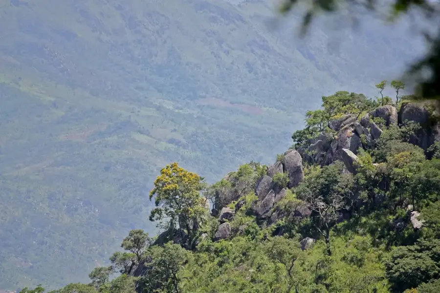
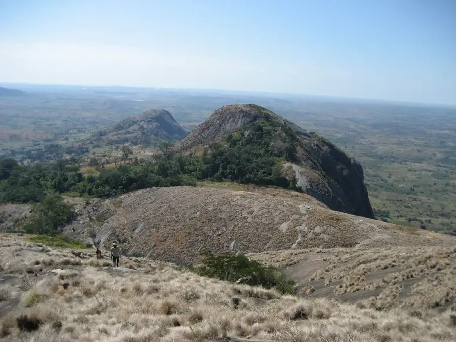
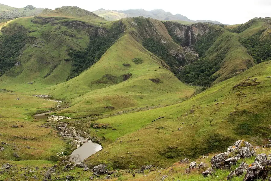
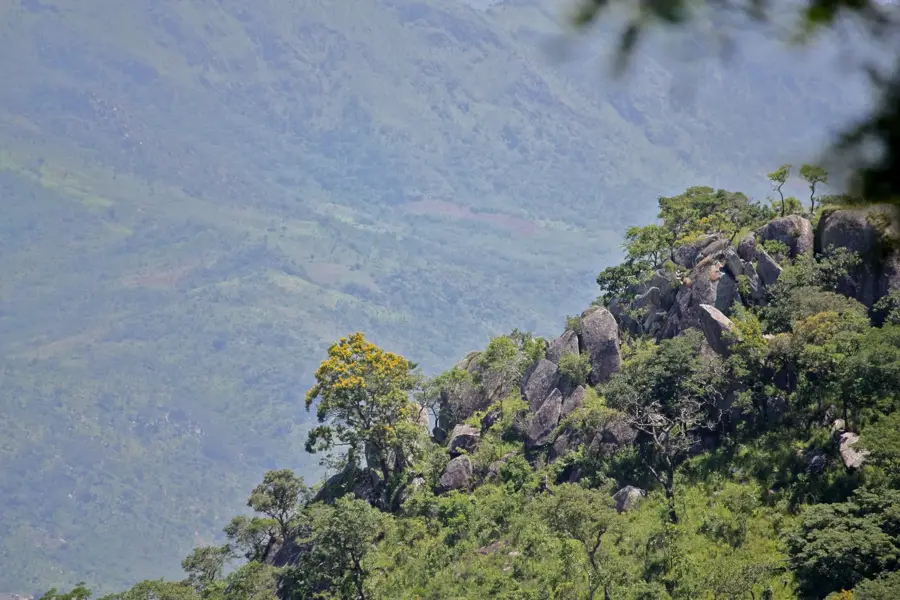
- Explore the nearby Vumba Mountains for spectacular views and hiking opportunities.
- The climate is milder than on the coast; pack a light jacket for the evenings.
🍽 Food
Due to local cattle farming, the beef here is of excellent quality.
Try the local version of maize porridge, often served with leafy greens.
Look for local bananas and oranges from the Vumba Mountains in the market.
🛍 Shopping · 🧘 Quiet spots
Known for cross-border goods and local artisanal crafts.
Inexpensive textiles and household goods right at the border.
A spiritual and quiet site with a broad view over the valley.
Walks in the lower mountain regions offer silence and untouched nature.
Water temperature…
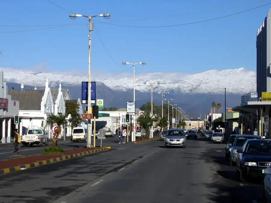
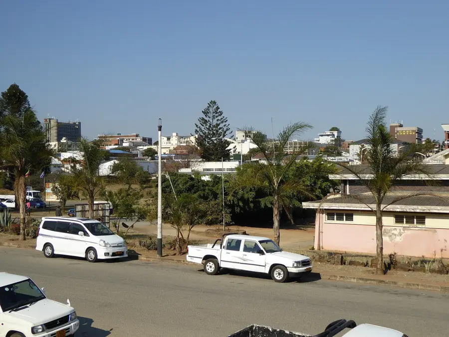
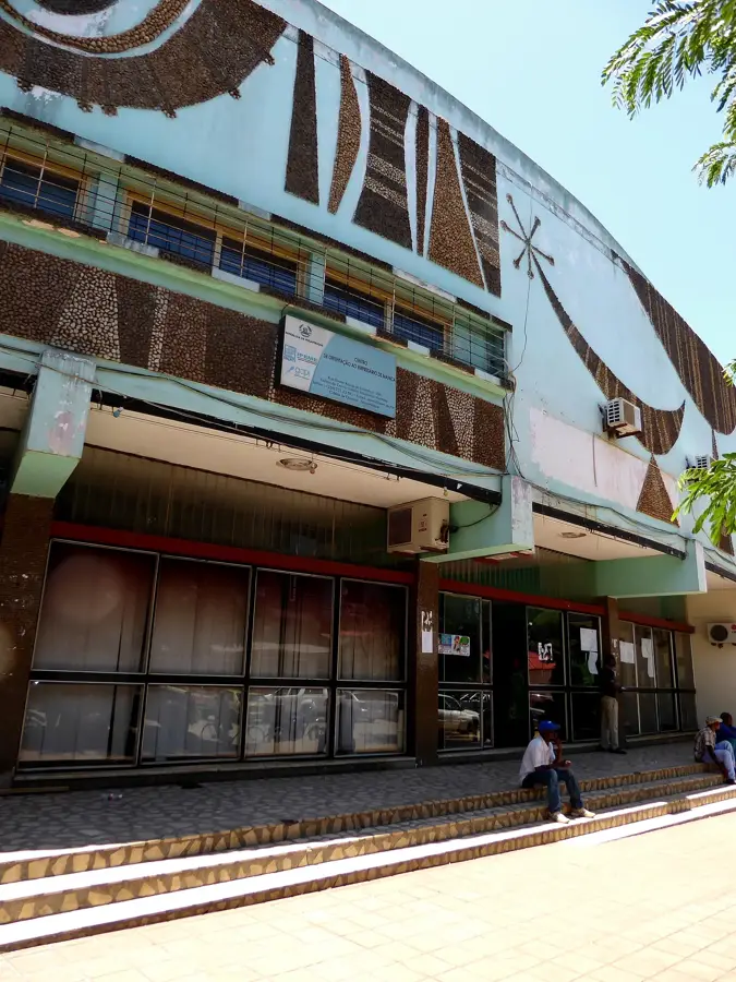
Manica, formerly known as Macequece, is a historically significant town located on Mozambique's western border with Zimbabwe. Set in a mountainous region at the foot of the Vumba Mountains, the area was already a renowned gold-mining center in the 16th century, attracting Arab traders and Portuguese explorers. The cool highland climate and high rainfall make the surrounding lands some of the most fertile in Mozambique, supporting export-oriented crops like coffee, tea, and various fruits. The town’s architecture still reflects its colonial past, when it served as a vital administrative and military outpost on the frontier. Today, Manica thrives on international trade due to its proximity to the Machipanda border crossing, one of the busiest in Southern Africa. Additionally, the town serves as a gateway for tourists visiting nearby prehistoric rock art sites and the scenic mountain landscapes of the border region.
- Location: Mozambique
- Top sights: Manica, Mozambique · Manica District
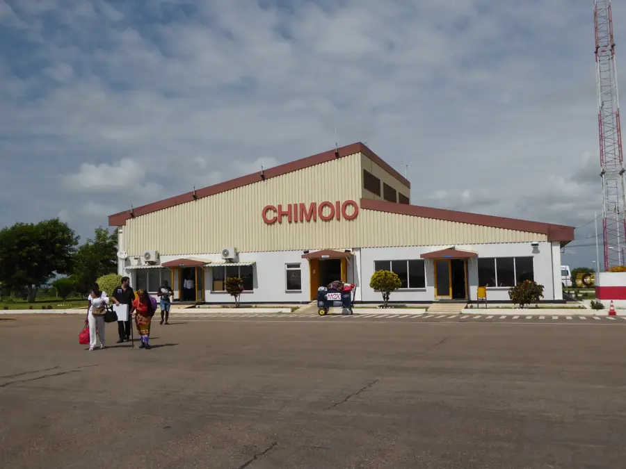
- Nearby: Chimoio (65 km)
- Population: ~41.961 (2024)
Best time to visit & climate
The most pleasant time to visit is May, Aug, Sep.
| Jan | Feb | Mar | Apr | May | Jun | Jul | Aug | Sep | Oct | Nov | Dec | |
|---|---|---|---|---|---|---|---|---|---|---|---|---|
| Avg °C | 24 | 23 | 22 | 20 | 18 | 17 | 16 | 19 | 22 | 24 | 25 | 24 |
| Rain mm | 253 | 214 | 185 | 89 | 28 | 24 | 32 | 8 | 23 | 47 | 121 | 288 |
Geography
Facts
- The town was officially named Macequece until independence in 1975.
- Manica was established as a gold-trading center as early as the 16th century.
- The nearby Chinamapere rock paintings are over 2,000 years old.
- Manica sits at an elevation of over 900 meters above sea level.
- The Machipanda border crossing is located just a few kilometers to the west.
- The region is one of the few places in Mozambique suitable for coffee cultivation.
Explore nearby
Notable places around
Route planner — Car & Motorhome
Where do you start? We build the route here, with stops and country notes along the way.
© OpenStreetMap contributors · OpenRouteService
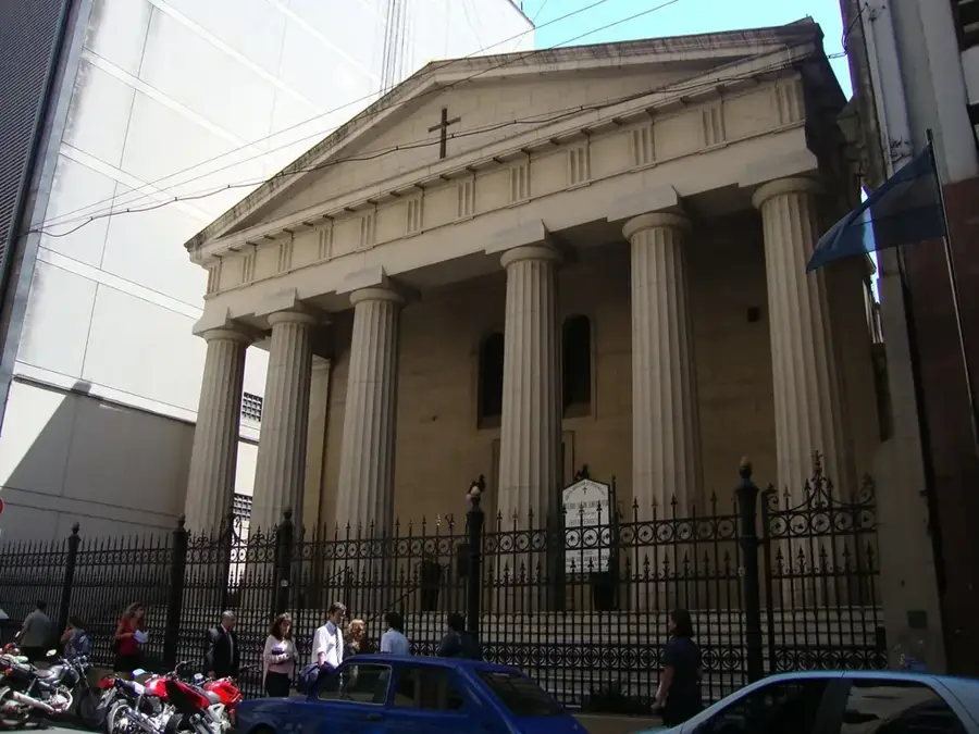
Sights in the town Manica (2)
Frequently asked questions
What does Manica offer?
What is the climate like?
How to reach Manica?
Best time to travel?
How long to stay?
Manica: where is it located?
Manica: what is there to see?
Manica: when is the best time to visit?
Manica: why is it worth visiting?

Nearby cities

History & landmarks
More places