Plizio Visual Lab
Zaer Plateau

Weather…
Water temperature…
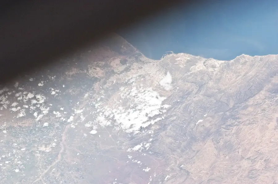
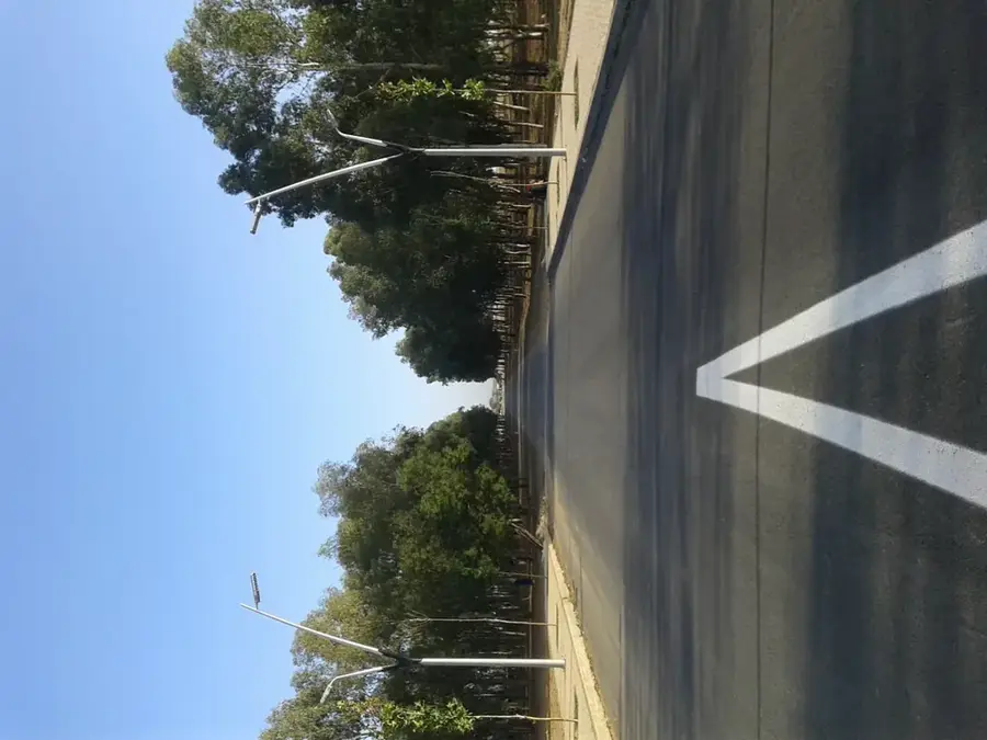
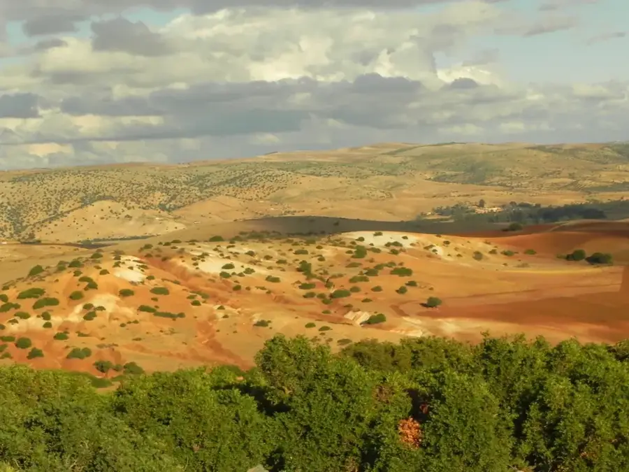
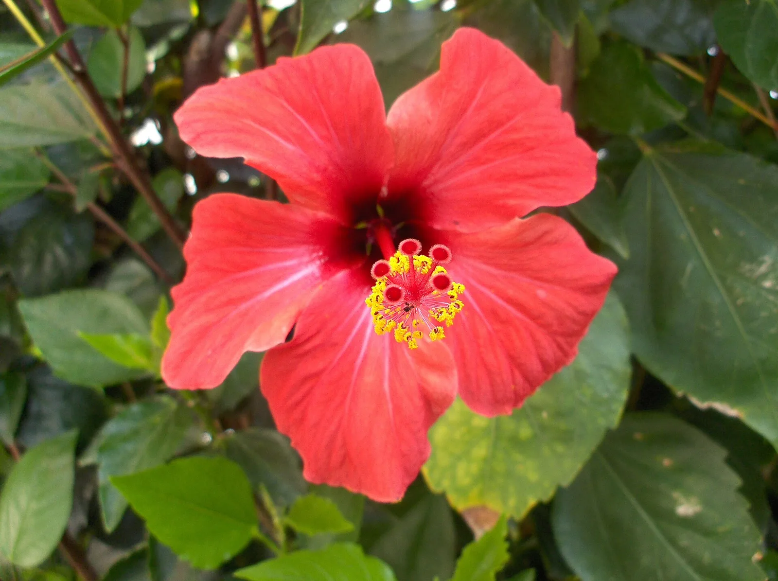
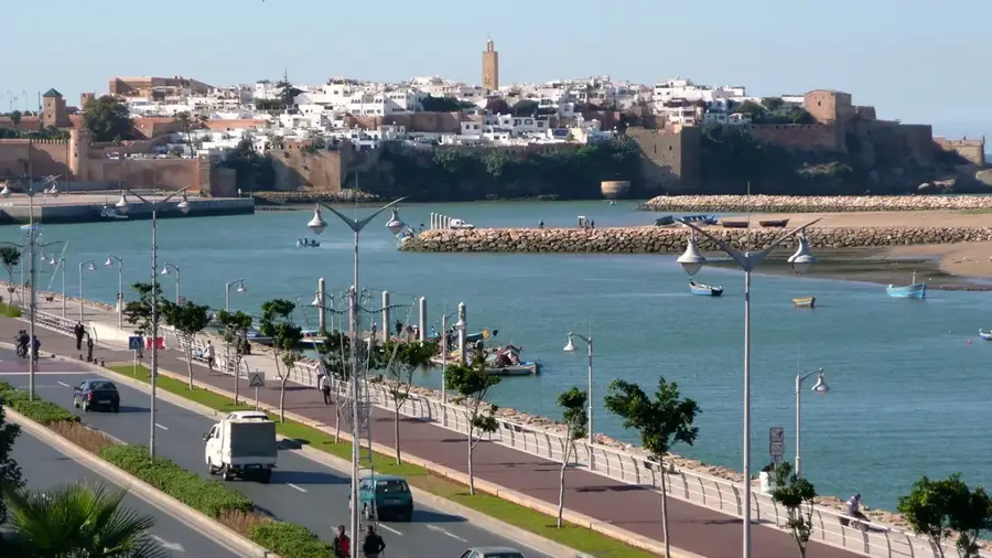
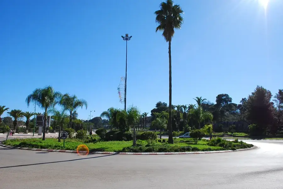
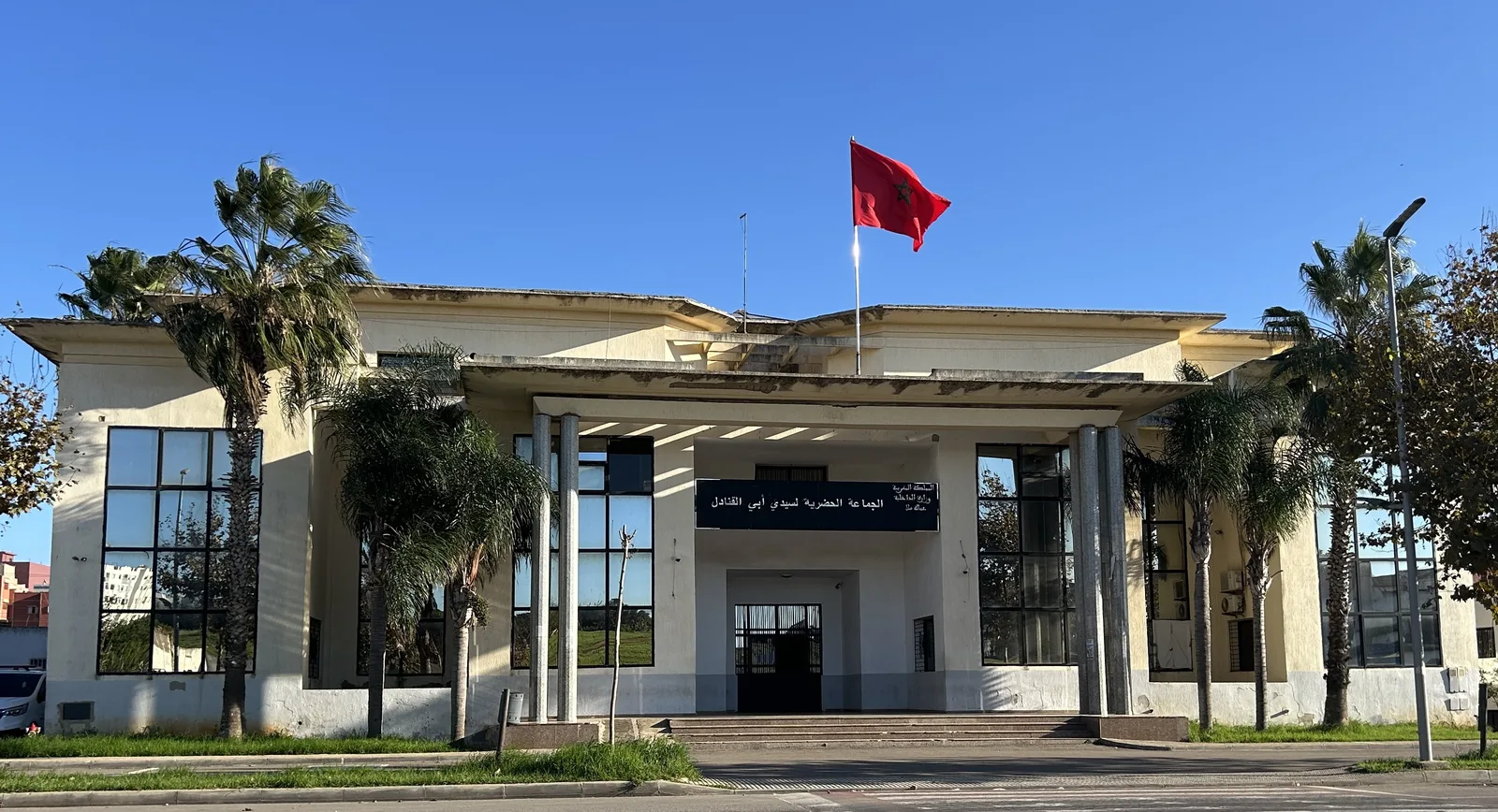
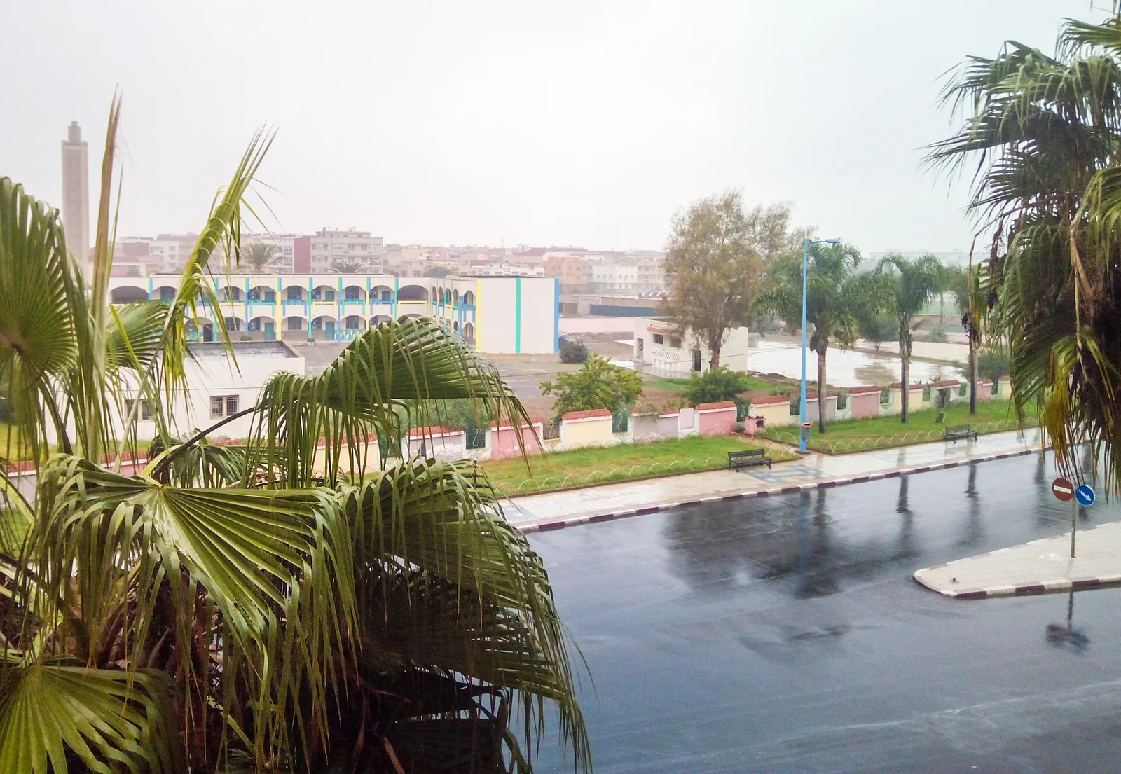
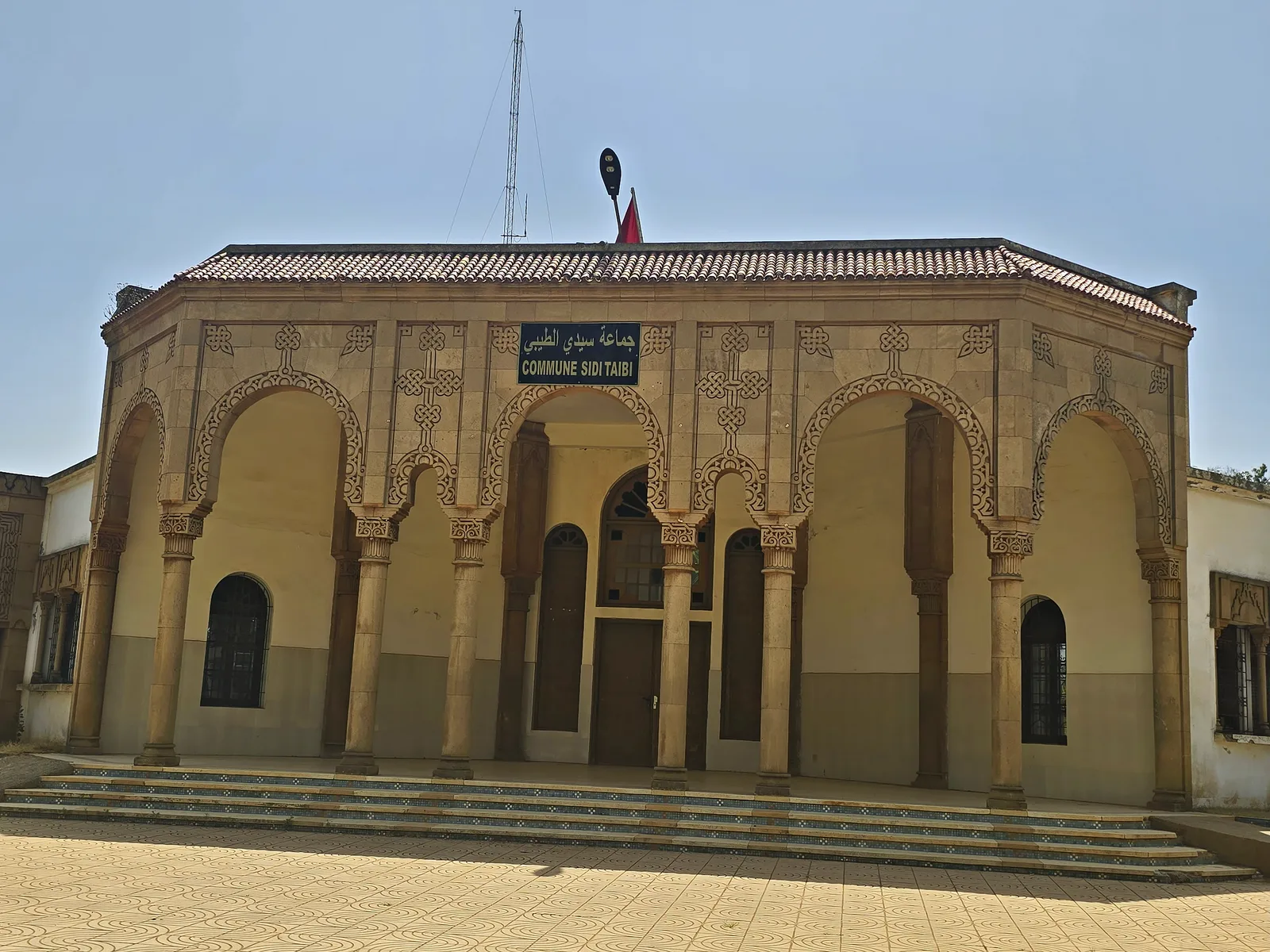
The Zaer Plateau is an extensive upland region in northwestern Morocco, situated southeast of the capital city, Rabat. It serves as a transitional zone between the Atlantic coastal plains and the foothills of the Atlas Mountains, characterized geomorphologically by rolling hills and deep valleys carved by the Oued Bouregreg and Oued Korifla rivers. Geologically, the plateau is primarily composed of Paleozoic rocks overlain by more recent calcareous layers, which have facilitated the development of fertile soils. The region is renowned for its vast cork oak forests, which are among the largest in the country and play a crucial role in biodiversity and forestry. In addition to timber, the plateau supports intensive agriculture, including cereals, legumes, and notably, viticulture in the Rommani area. Historically, the plateau is the ancestral home of the Zaer people, a fierce Berber confederation that long controlled the strategic access routes to Rabat. The climate is sub-humid with oceanic influences, ensuring adequate winter rainfall. Lately, the plateau has grown in importance as a recreational and eco-tourism destination for residents of the Rabat-Salé metropolitan area.
- Location: Morocco
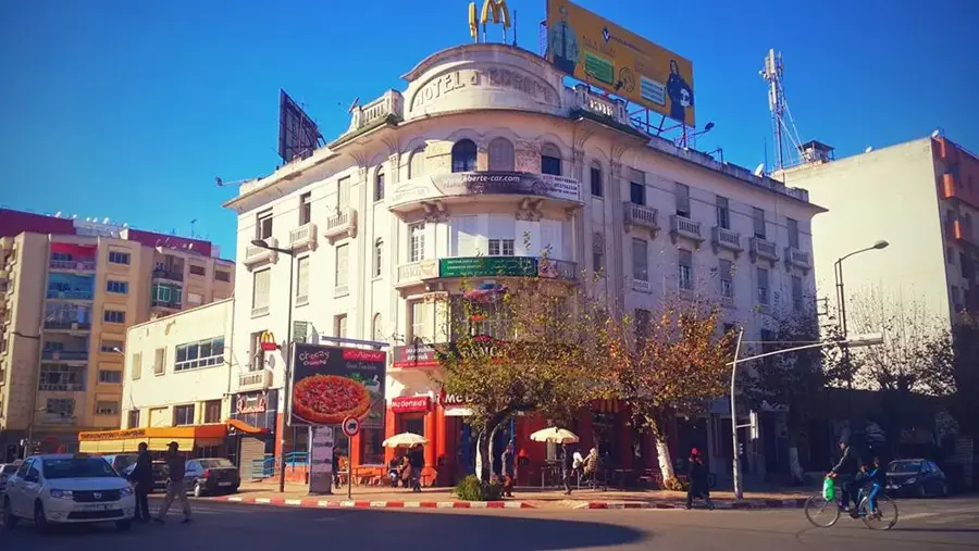
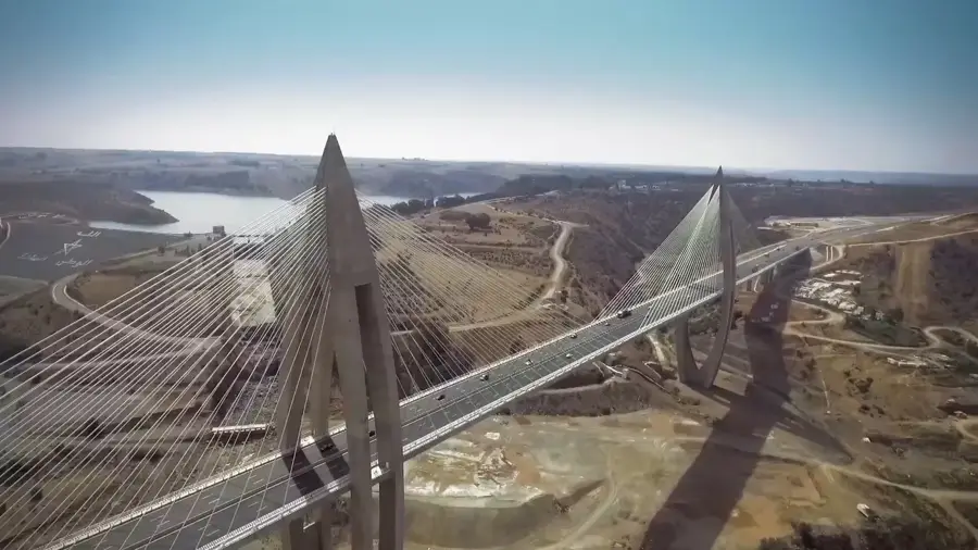
- Nearby: Tiflet (37 km)
Best time to visit & climate
The most pleasant time to visit is May, Jun, Oct.
| Jan | Feb | Mar | Apr | May | Jun | Jul | Aug | Sep | Oct | Nov | Dec | |
|---|---|---|---|---|---|---|---|---|---|---|---|---|
| Avg °C | 10 | 11 | 14 | 16 | 19 | 23 | 27 | 28 | 24 | 20 | 14 | 11 |
| Rain mm | 72 | 62 | 70 | 49 | 29 | 6 | 2 | 4 | 28 | 58 | 101 | 73 |
📋 Practical info
Geography
Facts
- The plateau sits at an average elevation of 400 to 600 meters.
- The cork oak forests are a major source of natural cork for the industry.
- Rommani serves as the primary economic and agricultural hub of the plateau.
- The Oued Bouregreg river defines the plateau's northern boundary.
- The Zaer region holds an Appellation d'Origine Garantie (AOG) for its wines.
- Annual rainfall typically ranges between 500 and 700 mm.
Explore nearby
Notable places around
Route planner — Car & Motorhome
Where do you start? We build the route here, with stops and country notes along the way.
© OpenStreetMap contributors · OpenRouteService
Sights nearby
Frequently asked questions
What is the Zaer Plateau?
Can you hike there?
How is the infrastructure?
Are there sights?
Is it family-friendly?
Zaer Plateau: where is it located?
Zaer Plateau: when is the best time to visit?
Zaer Plateau: why is it worth visiting?

Nearby cities
History & landmarks
Nature

More places