Plizio Visual Lab
Kenitra
ℹ️Practical info — Kenitra
▾
🌤 Weather — 5 days
📍 Nearby
Sights nearby
💡 Tips
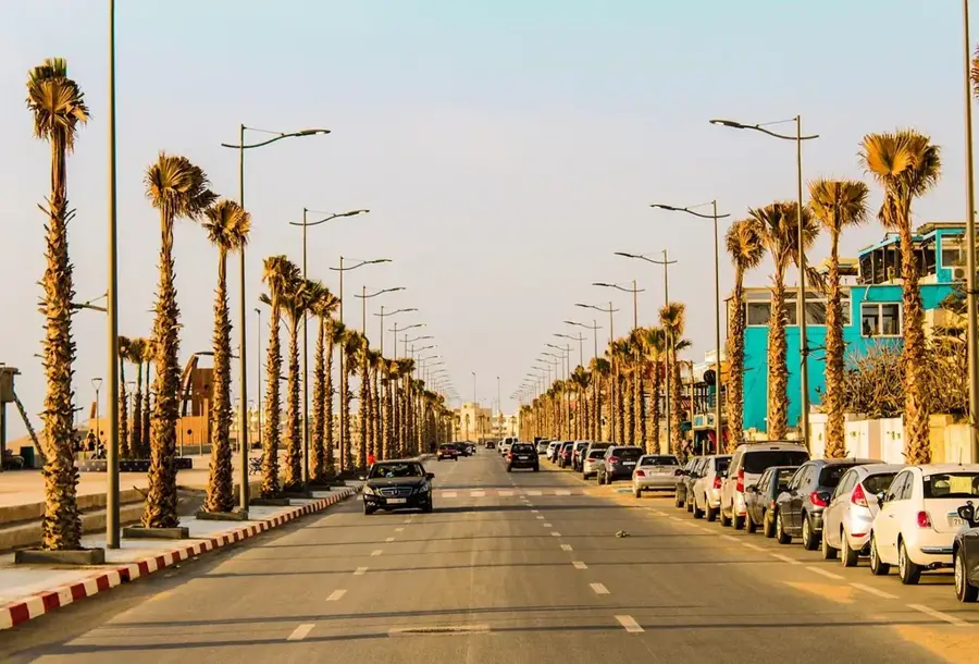
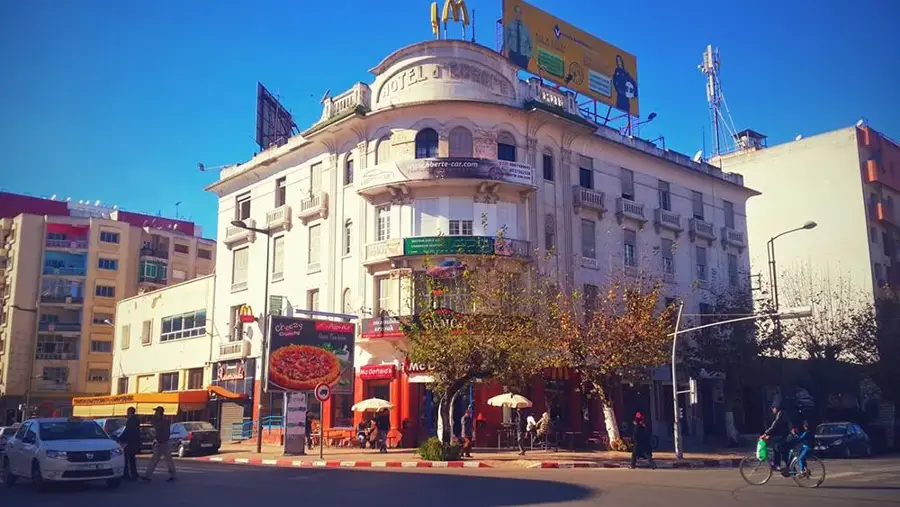
- The city center has a grid layout, making it much easier to navigate than traditional Moroccan medinas.
- Use the high-speed train (Al Boraq) connection to reach Rabat or Tangier quickly.
- Mehdia beach has strong currents; be cautious and swim only in designated areas.
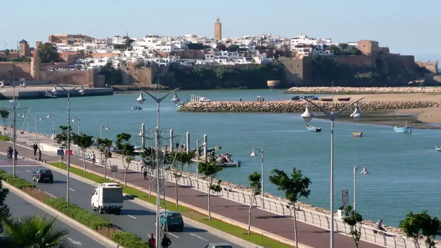
- The Sebou River promenade is the best spot for a relaxing late afternoon walk.
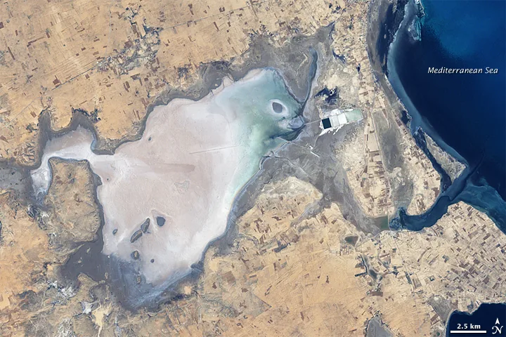
- As an industrial city, use it as a base to explore the nearby Merdja Zerga lagoon for nature trips.
🍽 Food
Head to the port area of Mehdia for the catch of the day.
Enjoy it with local pastries in the cafes lining Avenue Mohammed V.
Grab quick Moroccan staples before catching a train.
🛍 Shopping · 🧘 Quiet spots
Great for everyday spices and fresh fruits rather than tourist souvenirs.
Modern retail options are clustered around the central grid streets.
A walk away from the bustling areas gives a peaceful waterside experience.
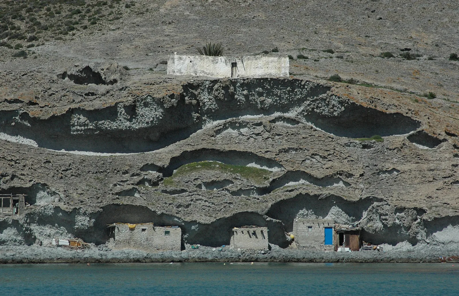
A short drive away, this lagoon is a haven for flamingos and birdwatchers.
Water temperature…
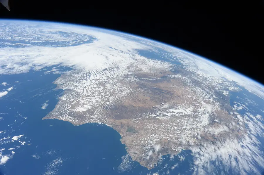
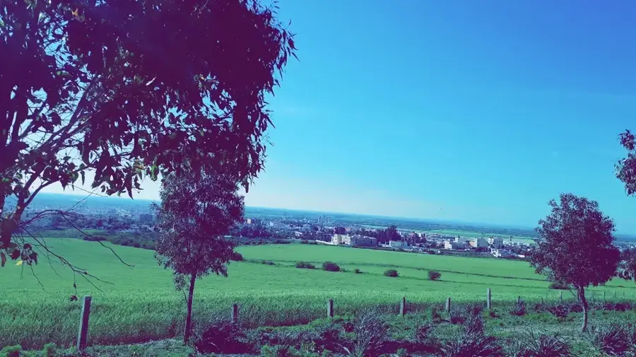
Kenitra is a rapidly growing port city in northwestern Morocco, situated on the southern bank of the Sebou River, approximately 12 kilometers from its mouth at the Atlantic Ocean. Founded in 1912 during the French protectorate as a military outpost, it was originally named Port-Lyautey until Morocco gained independence in 1956. Its strategic position on the navigable Sebou River facilitated its rapid transformation into a vital industrial and commercial hub. During World War II, Kenitra gained global significance as a landing site for Operation Torch in 1942, leading to the establishment of a long-term U.S. naval air station. Today, the city is a centerpiece of Morocco's automotive manufacturing sector and serves as the economic heart of the agriculturally prosperous Gharb plain. The nearby Sidi Boughaba Nature Reserve, a RAMSAR wetland site essential for migratory birds, provides a significant ecological balance to the city's industrial landscape. Kenitra continues to expand as a major railway junction, notably served by the Al Boraq high-speed rail line connecting Tangier to Casablanca.
- Location: Morocco
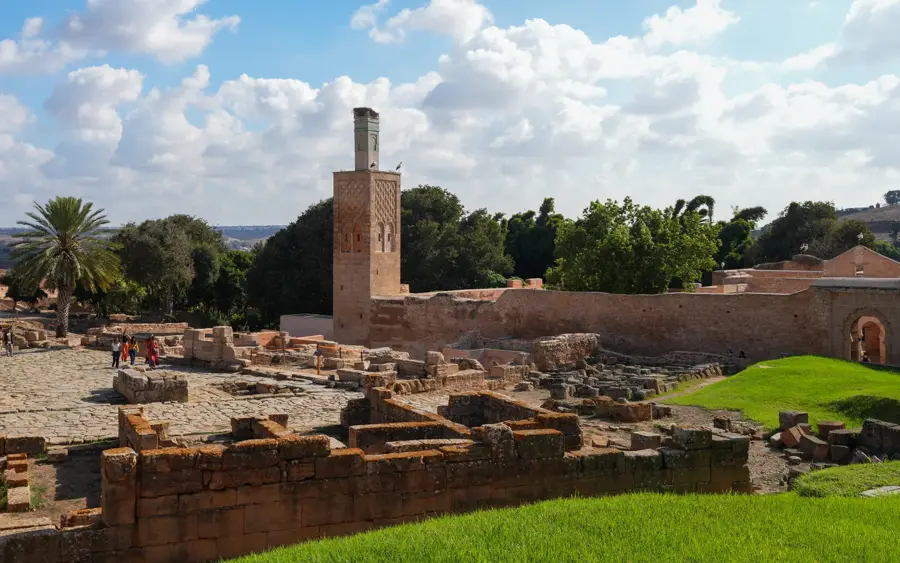
- Top sights: Théâtre à ciel ouvert · Cultural Center Kenitra
- Nearby: Sidi Taibi (12 km)
- Population: ~470.949 (2026)
Best time to visit & climate
The most pleasant time to visit is May, Jun, Oct.
| Jan | Feb | Mar | Apr | May | Jun | Jul | Aug | Sep | Oct | Nov | Dec | |
|---|---|---|---|---|---|---|---|---|---|---|---|---|
| Avg °C | 13 | 14 | 15 | 17 | 21 | 24 | 26 | 27 | 24 | 22 | 17 | 14 |
| Rain mm | 69 | 57 | 64 | 44 | 21 | 3 | 1 | 2 | 19 | 61 | 98 | 74 |
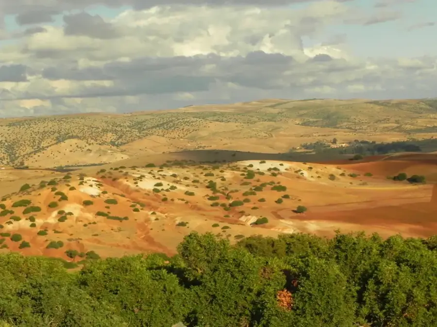
Geography
Facts
- Kenitra was known as Port-Lyautey during the French colonial era until 1956.
- The city sits on the Sebou, which is the only navigable river in Morocco.
- In 1942, U.S. forces landed in Kenitra as part of the Allied Operation Torch.
- Kenitra is a major production hub for the PSA Group (Peugeot and Citroën).
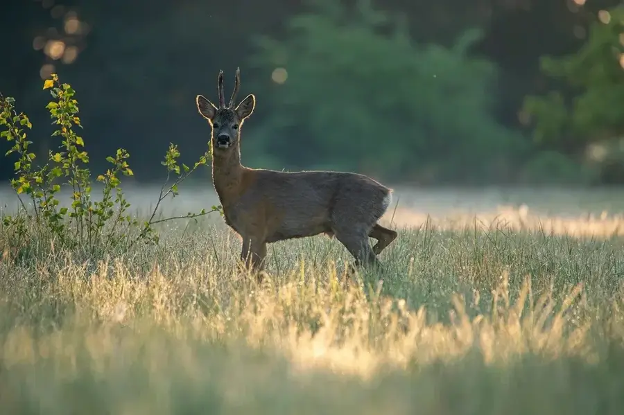
- The nearby Lake Sidi Boughaba is a protected RAMSAR site for migratory birds.
- The city is a primary stop on the Al Boraq high-speed rail network.
Explore nearby
Notable places around
Route planner — Car & Motorhome
Where do you start? We build the route here, with stops and country notes along the way.
© OpenStreetMap contributors · OpenRouteService
Sights in the town Kenitra (2)
Frequently asked questions
What is Kenitra known for?
Are there natural attractions?
Can you go to the beach in Kenitra?
How to get from Kenitra to Rabat?
What else can you see in Mehdia?
Kenitra: where is it located?
Kenitra: what is there to see?
Kenitra: when is the best time to visit?
Kenitra: why is it worth visiting?

Nearby cities
Nature
More places