Plizio Visual Lab
Middle Atlas
Weather…
Water temperature…
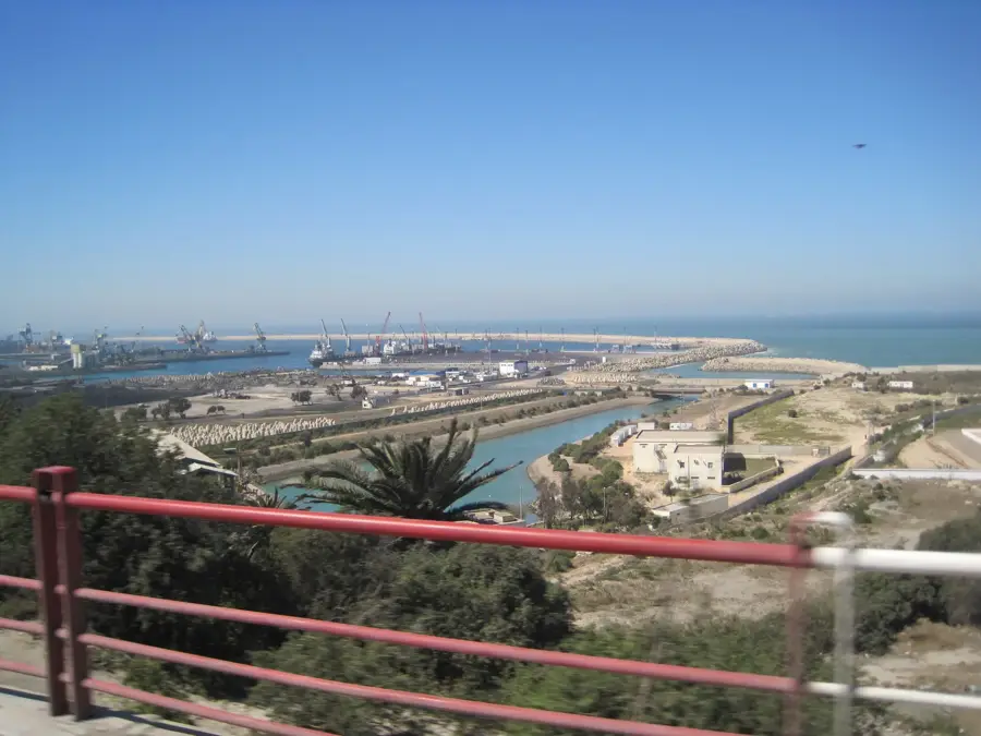
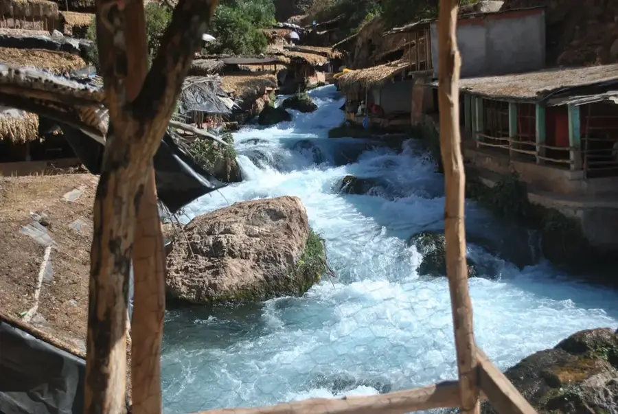
The Middle Atlas is the northernmost of the three major Moroccan Atlas ranges, distinguished by its exceptional biodiversity and vital water resources. Extending over 350 kilometers, the range functions as the country's primary 'water tower,' providing the source for major rivers such as the Sebou and the Oum Er-Rbia. Its landscape differs markedly from the southern ranges, featuring vast forests of the endemic Atlas Cedar (Cedrus atlantica) and numerous karst lakes like Aguelmame Azigza. The highest point is Jbel Bou Naceur, reaching an elevation of 3,340 meters in the eastern section. Geologically, the range is dominated by limestone plateaus that have been eroded over millennia into spectacular cave systems and canyons. The city of Ifrane, often referred to as the 'Switzerland of Morocco,' is located in the heart of this region, famous for its alpine architecture and the Michlifen ski resort. Furthermore, the Middle Atlas is the most critical habitat for the endangered Barbary macaque, Africa's only macaque species.
- Location: Morocco
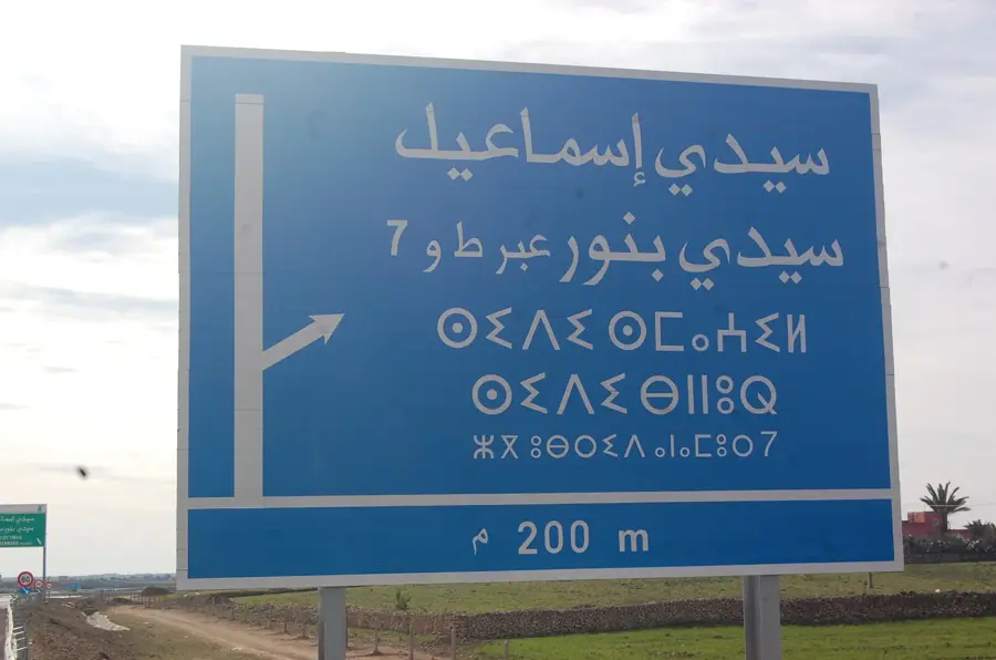
- Nearby: Ifrane (10 km)
Best time to visit & climate
The most pleasant time to visit is Jun, Jul, Sep.
| Jan | Feb | Mar | Apr | May | Jun | Jul | Aug | Sep | Oct | Nov | Dec | |
|---|---|---|---|---|---|---|---|---|---|---|---|---|
| Avg °C | 5 | 6 | 9 | 12 | 16 | 21 | 25 | 26 | 21 | 16 | 9 | 7 |
| Rain mm | 90 | 82 | 92 | 75 | 47 | 13 | 6 | 17 | 33 | 71 | 107 | 87 |
📋 Practical info
Geography
Facts
- The Middle Atlas range spans a length of approximately 350 kilometers.
- Jbel Bou Naceur is the highest peak in the range at 3,340 meters.
- The region contains the world's largest continuous Atlas Cedar forests.
- Ifrane National Park protects a significant portion of the local flora.
- The Sebou and Oum Er-Rbia rivers both originate in these mountains.
- Ifrane holds the record for Africa's lowest temperature at -23.9 °C.
Explore nearby
Notable places around
Route planner — Car & Motorhome
Where do you start? We build the route here, with stops and country notes along the way.
© OpenStreetMap contributors · OpenRouteService
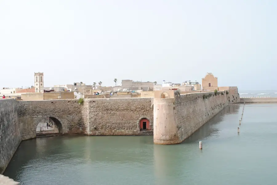
Sights nearby
Frequently asked questions
What is the highlight in the Middle Atlas?
Are there good hiking opportunities?
What is the infrastructure like?
Is it very hot there?
Can you ski there?
Middle Atlas: where is it located?
Middle Atlas: when is the best time to visit?
Middle Atlas: why is it worth visiting?

Nearby cities
Nature
More places