Plizio Visual Lab
Tigheci Hills
Weather…
Water temperature…
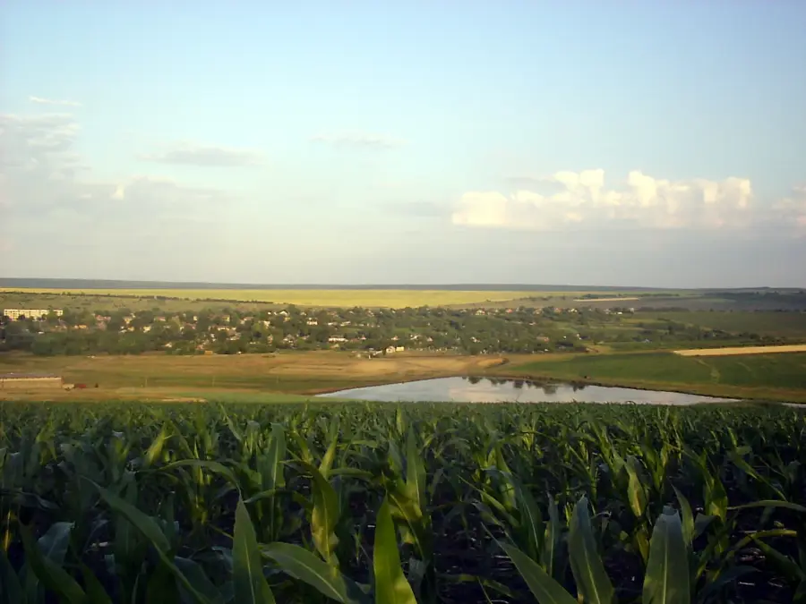
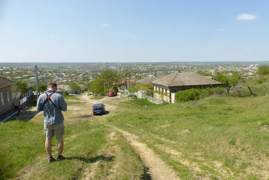
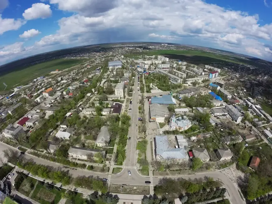
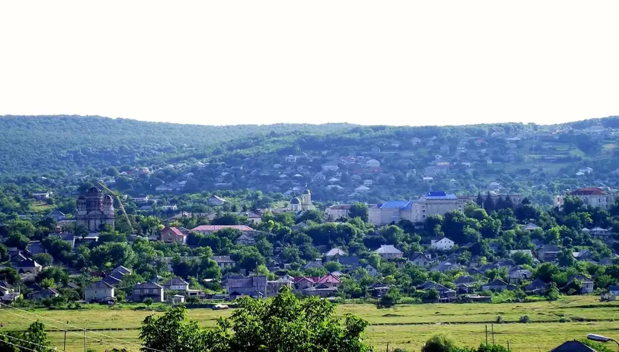
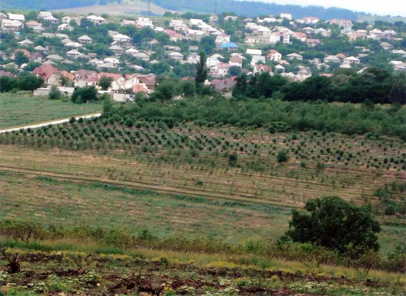
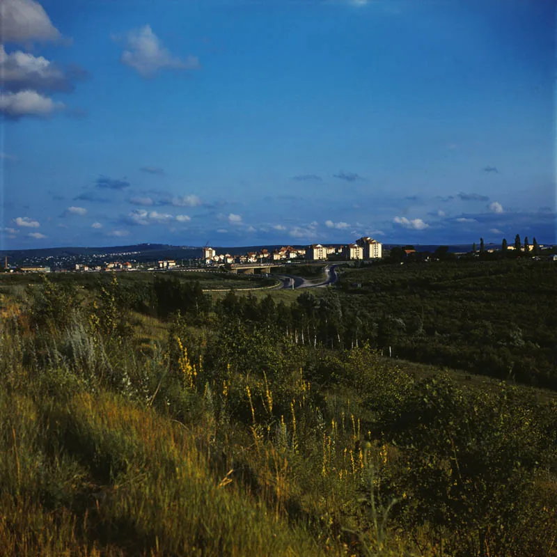
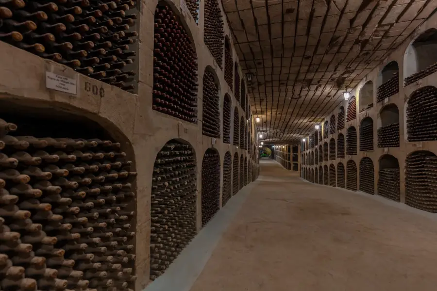
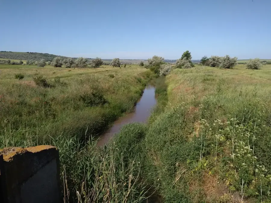
The Tigheci Hills are located in southwestern Moldova and represent one of the country's most prominent topographical features. This hill range serves as the main watershed between the Prut and Ialpug river basins, characterized by a complex morphological structure. The highest elevation in the region reaches approximately 301 meters above sea level, making it the loftiest point in southern Moldova. The landscape is a mosaic of dense forests, known locally as Codrii, interspersed with vast vineyards and agricultural fields. Geologically, the hills consist of Neogene sedimentary deposits that have been extensively shaped by erosion and landslide processes over time. The area is highly significant for the national wine industry, as its specific microclimate provides well-suited conditions for high-quality viticulture. Several nature reserves within the range are dedicated to preserving the unique flora and fauna of the southern Moldovan forest-steppe zone.
- Location: Moldova
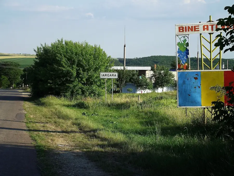
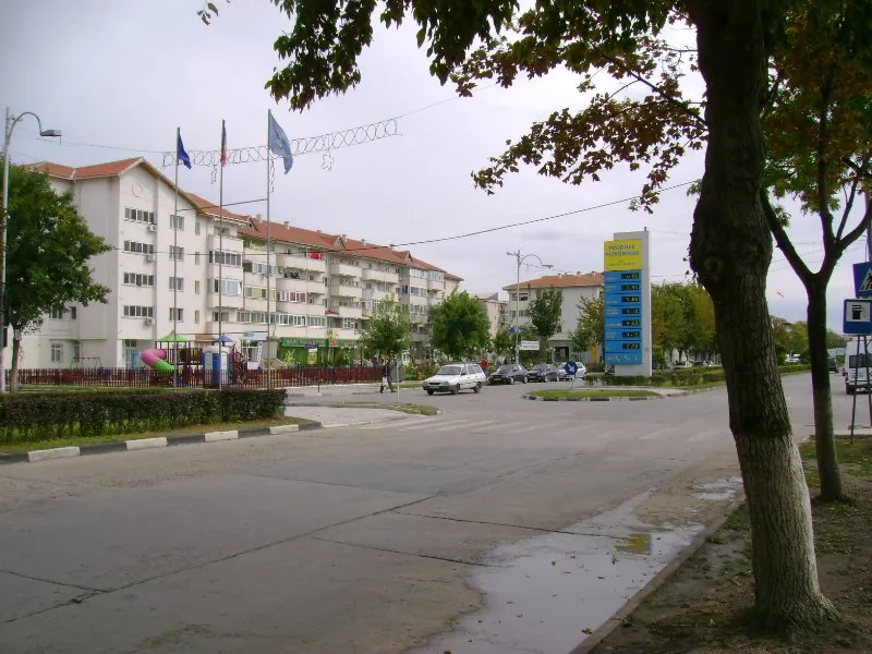
- Nearby: Iargara (6 km)
Best time to visit & climate
The most pleasant time to visit is Jun, Aug, Sep.
| Jan | Feb | Mar | Apr | May | Jun | Jul | Aug | Sep | Oct | Nov | Dec | |
|---|---|---|---|---|---|---|---|---|---|---|---|---|
| Avg °C | -3 | -1 | 4 | 10 | 17 | 22 | 24 | 24 | 18 | 11 | 5 | -1 |
| Rain mm | 39 | 32 | 36 | 40 | 50 | 65 | 59 | 34 | 37 | 46 | 40 | 40 |
📋 Practical info
Geography
Facts
- The hill range extends for a total length of approximately 60 kilometers.
- The maximum elevation of 301 meters is found near the village of Lărguța.
- The 'Codrii Tigheci' landscape reserve protects over 2,500 hectares of forest.
- The hills form a natural drainage divide between the Prut and Ialpug rivers.
- The area receives significantly more rainfall than the adjacent lowland steppes.
- Historical sites in the hills date back to the Chalcolithic Cucuteni culture.
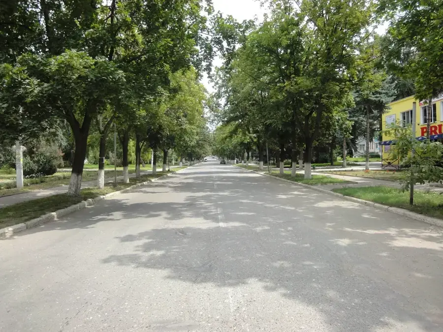
Explore nearby
Notable places around
Route planner — Car & Motorhome
Where do you start? We build the route here, with stops and country notes along the way.
© OpenStreetMap contributors · OpenRouteService
Sights nearby
Frequently asked questions
Are the Tigheci hills forested?
Where are these hills located?
What is the highest point there?
Are there rare plants there?
Can you go wine tasting there?
Tigheci Hills: where is it located?
Tigheci Hills: when is the best time to visit?
Tigheci Hills: why is it worth visiting?

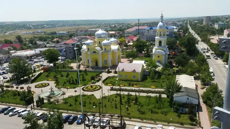
Nearby cities
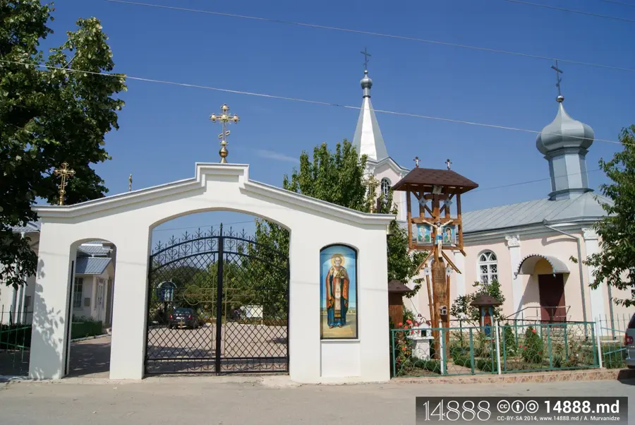
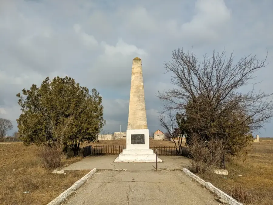
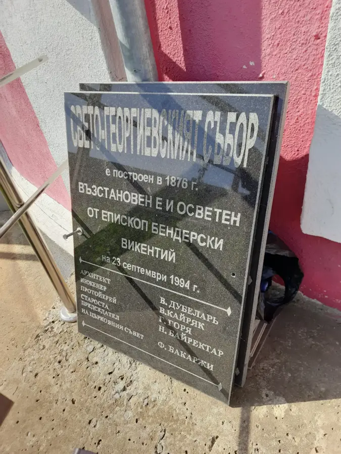
History & landmarks
Nature
More places