Plizio Visual Lab
Cerro de las Mesas

Weather…
Water temperature…
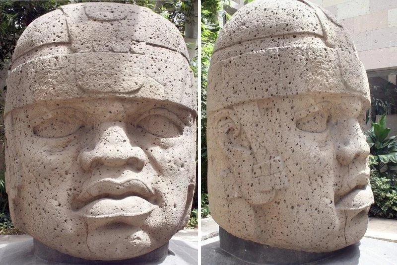
Cerro de las Mesas is a significant archaeological site located in the Mexican state of Veracruz, which flourished primarily during the Epi-Olmec period. Situated within the Mixtequilla region, it served as a major regional center from approximately 600 BC to 900 AD, bridging the gap between the earlier Olmec civilization and later Mesoamerican cultures. The site is renowned for its numerous stelae, several of which feature Long Count calendar dates, showcasing the advanced mathematical and astronomical capabilities of its inhabitants. One of the most extraordinary discoveries at the site was a cache of over eight hundred jade objects, one of the largest such collections ever found in Mesoamerica, highlighting the city's wealth and ritual significance. The urban layout is defined by massive earthen mounds and ceremonial platforms, typical of the Gulf Coast's architectural style during that era. Although less frequented than major tourist ruins, Cerro de las Mesas provides critical insights into the evolution of writing and social hierarchy in pre-Columbian Mexico. Today, it remains an essential site for scholars studying the complex transitions of the Classic period.
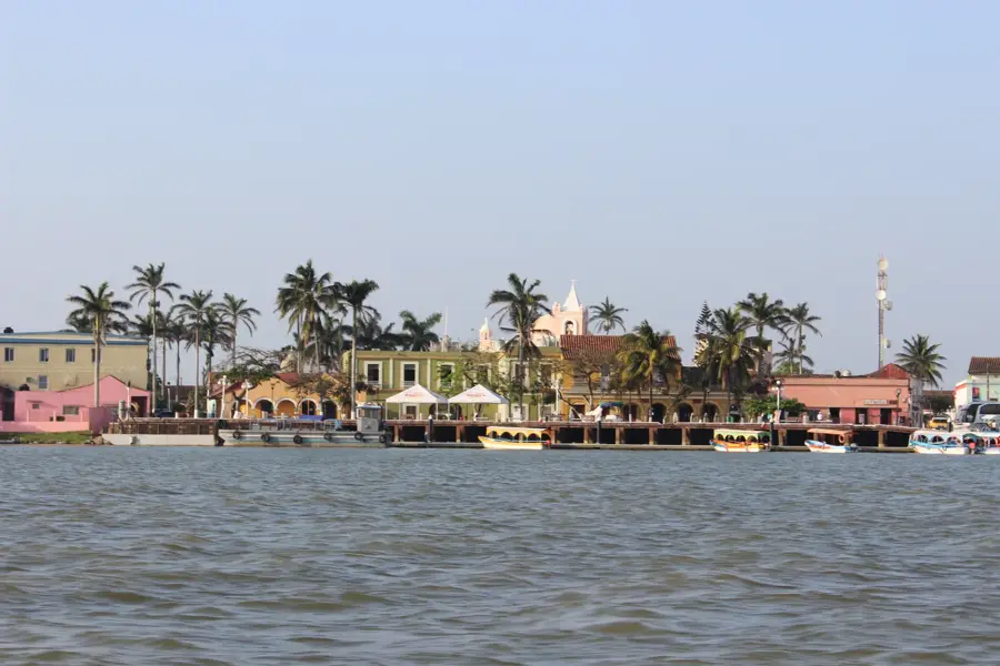
- Location: Mexico
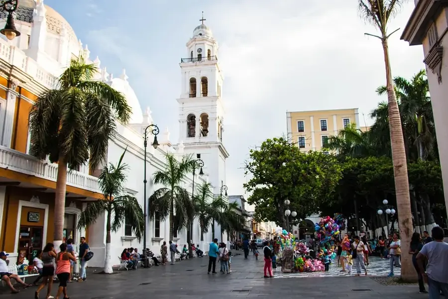
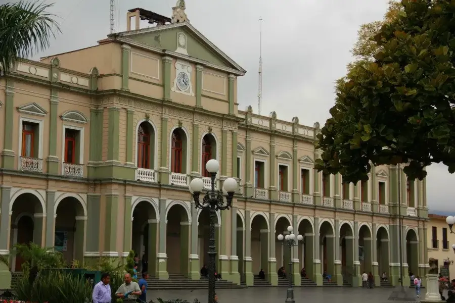
- Nearby: Veracruz (5 km)
Best time to visit & climate
The most pleasant time to visit is Jan, Feb, Dec.
| Jan | Feb | Mar | Apr | May | Jun | Jul | Aug | Sep | Oct | Nov | Dec | |
|---|---|---|---|---|---|---|---|---|---|---|---|---|
| Avg °C | 21 | 22 | 25 | 29 | 30 | 28 | 27 | 27 | 26 | 25 | 23 | 21 |
| Rain mm | 45 | 28 | 27 | 38 | 80 | 248 | 290 | 310 | 352 | 223 | 104 | 42 |
📋 Practical info
Geography
Facts
- The site was continuously occupied for over 1,500 years, from 600 BC to 900 AD.
- Stela 6 found at the site bears a Long Count date equivalent to April 468 AD.
- Archaeologists unearthed a single cache containing over 800 exquisite jade artifacts.
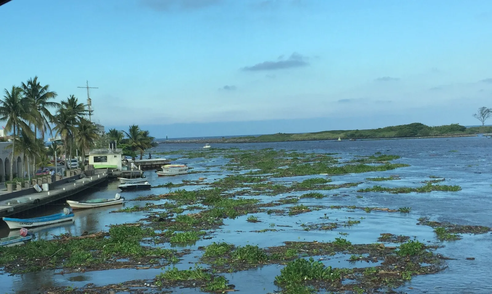
- Cerro de las Mesas is situated in the Papaloapan River basin in central Veracruz.
- The site features a complex arrangement of earthen mounds, some reaching 15 meters in height.
- It was a major center for the development of the Epi-Olmec writing and calendar systems.
Explore nearby
Notable places around
Route planner — Car & Motorhome
Where do you start? We build the route here, with stops and country notes along the way.
© OpenStreetMap contributors · OpenRouteService
Sights nearby
Frequently asked questions
What can be seen in Cerro de las Mesas?
Is the location easy to reach?
Best time to visit?
Is there parking available?
Is entry free?
Cerro de las Mesas: where is it located?
Cerro de las Mesas: when is the best time to visit?
Cerro de las Mesas: why is it worth visiting?

Nearby cities

History & landmarks
More places