Plizio Visual Lab
Poza Rica
ℹ️Practical info — Poza Rica
▾
🌤 Weather — 5 days
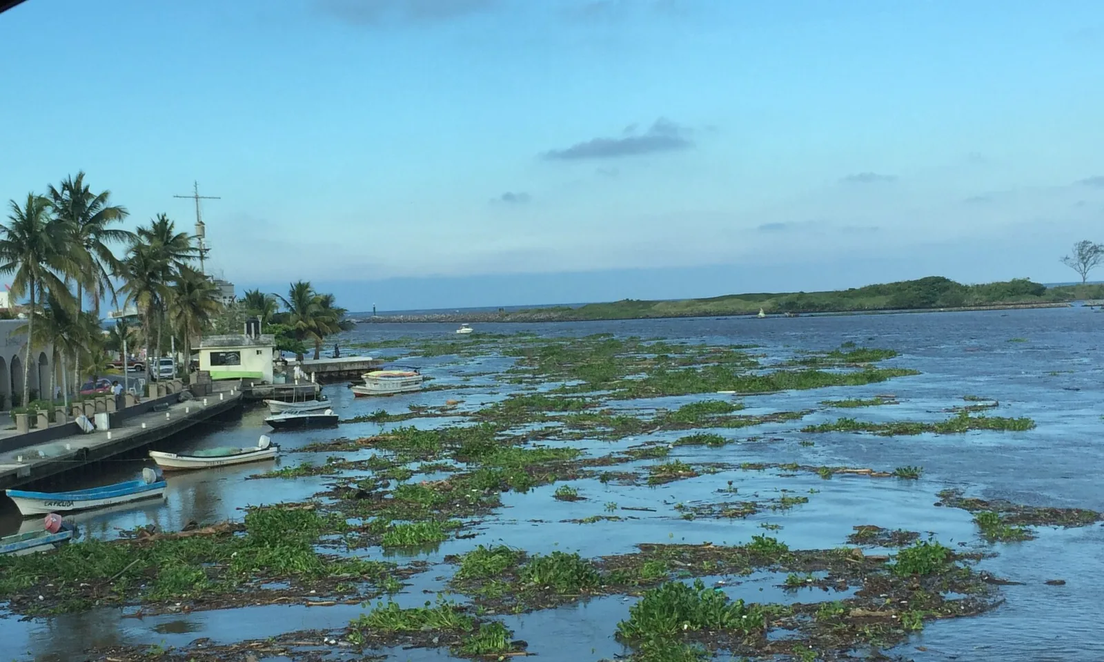
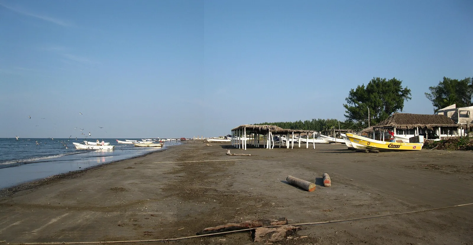
📍 Nearby
Sights nearby
💡 Tips
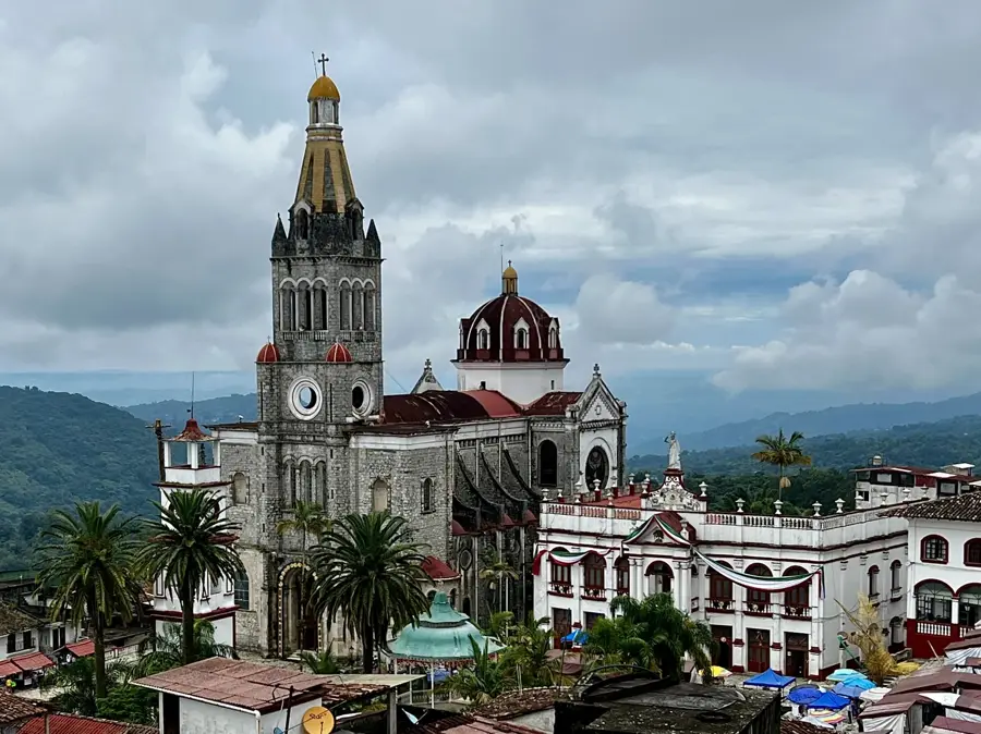
- Use the city as a convenient base for visiting the nearby archaeological site of El Tajín.
- Be prepared for high humidity, as the city is located in a tropical lowland region.
- Visit Benito Juárez Park in the evening when locals gather and street food is sold.
- Take the local buses to Papantla to experience the heritage of the Voladores (flyers).
🍽 Food
A giant tamale from the Huasteca region, best tried at the municipal markets.
Small, thick corn tortillas stuffed with cheese, meat, or beans.
Fresh fish prepared with tomatoes, capers, and olives, typical of Veracruz state.
🛍 Shopping · 🧘 Quiet spots
The city's largest mall for modern fashion and electronics.
The place to find authentic vanilla products from the nearby Papantla region.
Located on 'Cerro del Abuelo' hill, this park features a quiet vantage point over the city.
A central green space convenient for a short break during city exploration.
Water temperature…
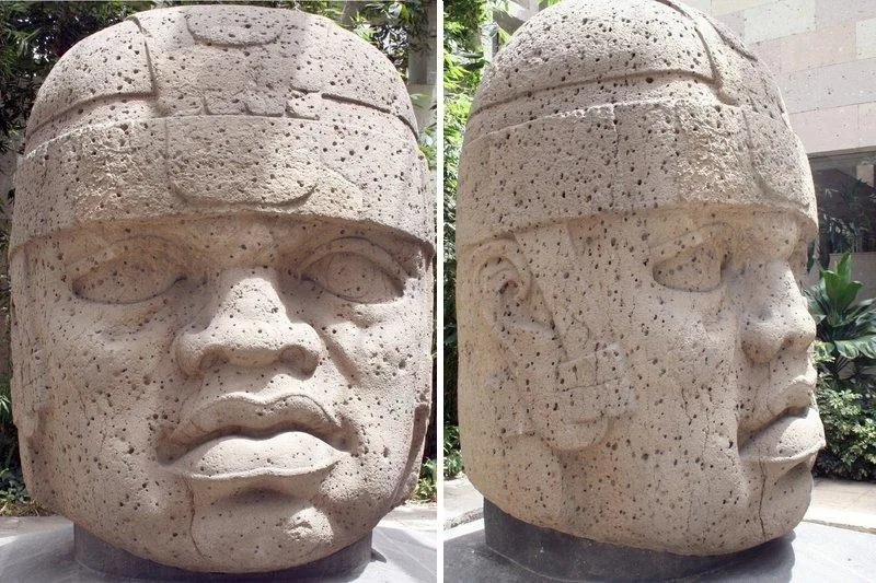
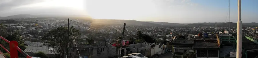
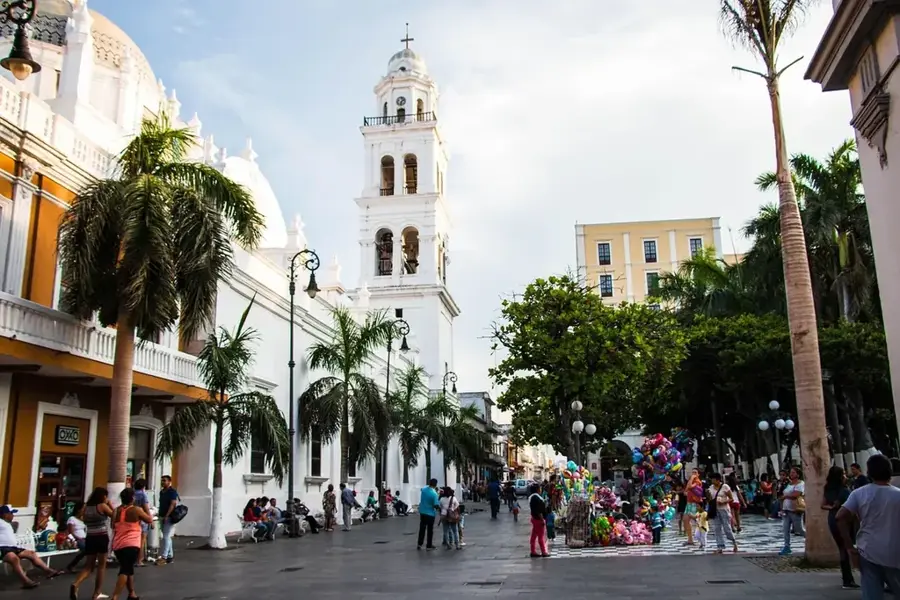
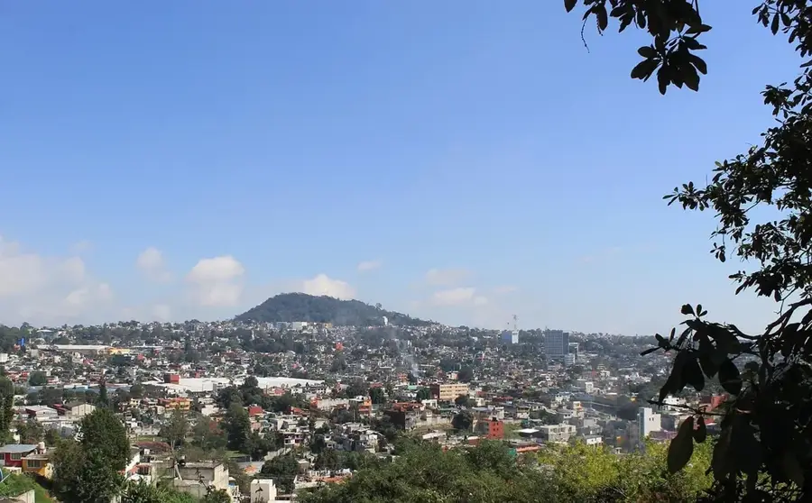
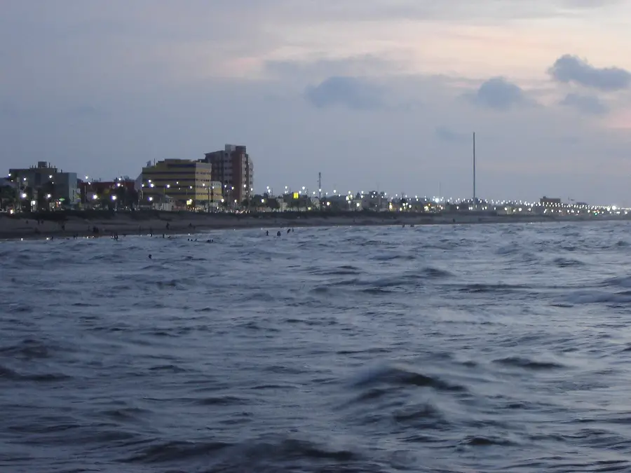
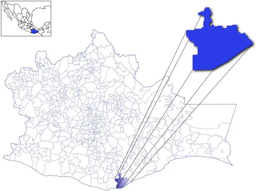
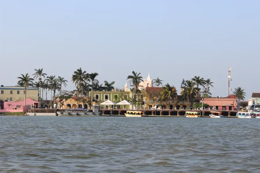
Poza Rica de Hidalgo is a key industrial city located in northern Veracruz, specifically within the Totonacapan region near the Gulf of Mexico. The city's development was sparked by the discovery of massive oil reserves in the 1930s, transforming it into one of Mexico's most significant petroleum production centers. Its urban layout and architecture reflect its industrial roots, with numerous oil wells and refinery structures integrated into the landscape. Poza Rica serves as a regional commercial hub for northern Veracruz, providing services to the surrounding agricultural and ranching communities. Just 15 kilometers from the city lies the ancient Totonac archaeological site of El Tajín, a UNESCO World Heritage site famous for its Pyramid of the Niches. The city also hosts the 'Festival Cumbre Tajín,' which celebrates indigenous culture, music, and the traditional Danza de los Voladores. It is a vital transportation link between the coastal lowlands and the central Mexican plateau.
- Location: Mexico
- Top sights: Monumento a Benito Juarez · Estatua del General Lázaro Cárdenas del Río · Reloj de la Pa
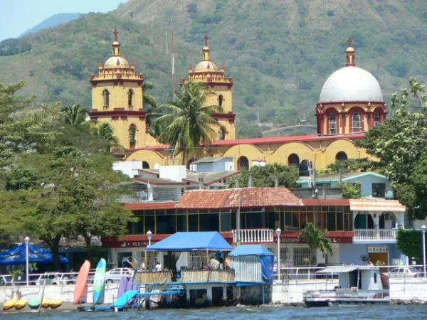
- Nearby: Cuetzalan (10 km)
- Population: ~185.242 (2018)
Best time to visit & climate
The most pleasant time to visit is Feb, Mar, Dec.
| Jan | Feb | Mar | Apr | May | Jun | Jul | Aug | Sep | Oct | Nov | Dec | |
|---|---|---|---|---|---|---|---|---|---|---|---|---|
| Avg °C | 19 | 21 | 23 | 27 | 28 | 28 | 27 | 27 | 26 | 24 | 21 | 19 |
| Rain mm | 46 | 36 | 44 | 54 | 77 | 192 | 195 | 210 | 304 | 209 | 90 | 42 |
Geography
Facts
- Poza Rica was founded as an independent municipality in 1951.
- The El Tajín archaeological site is located only 15 kilometers away.
- The major oil boom in the region began in the year 1932.
- The Pyramid of the Niches at El Tajín features exactly 365 windows.
- The city is situated at a regional altitude of about 50 meters.
- The average annual temperature in Poza Rica is 24.5 degrees Celsius.
Explore nearby
Notable places around
Route planner — Car & Motorhome
Where do you start? We build the route here, with stops and country notes along the way.
© OpenStreetMap contributors · OpenRouteService
Sights in the town Poza Rica (4)
Frequently asked questions
What kind of city is Poza Rica?
What is there to see?
What is the climate like?
Is it touristy?
How do you reach the city?
Poza Rica: where is it located?
Poza Rica: what is there to see?
Poza Rica: when is the best time to visit?
Poza Rica: why is it worth visiting?

Nearby cities
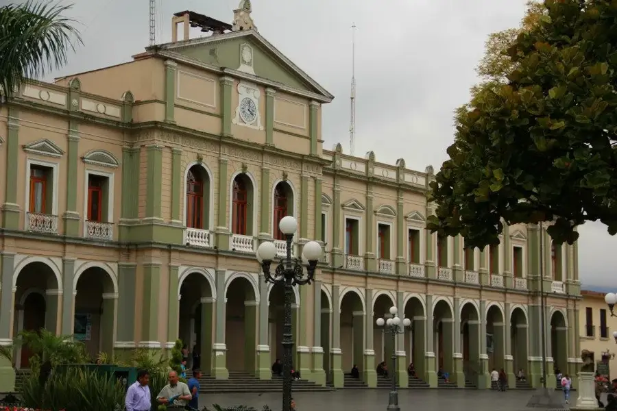

History & landmarks
More places