Plizio Visual Lab
Los Tuxtlas

Weather…
Water temperature…
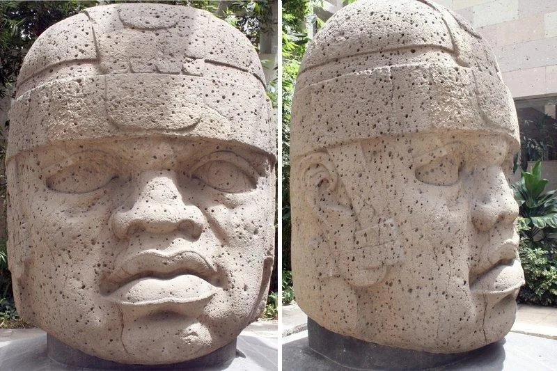
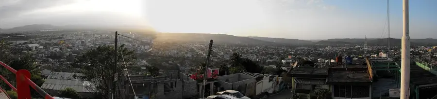
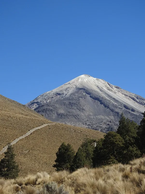
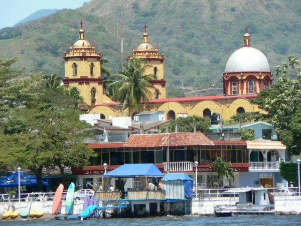
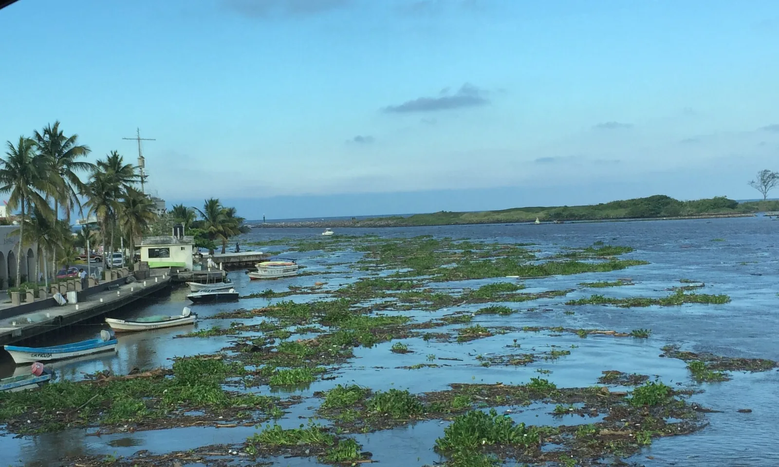
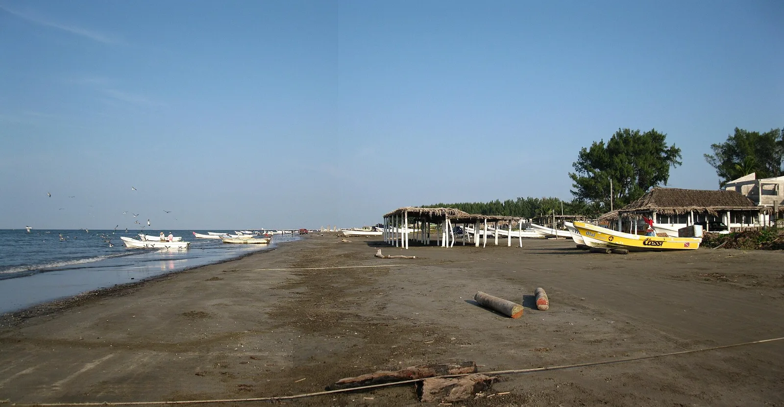
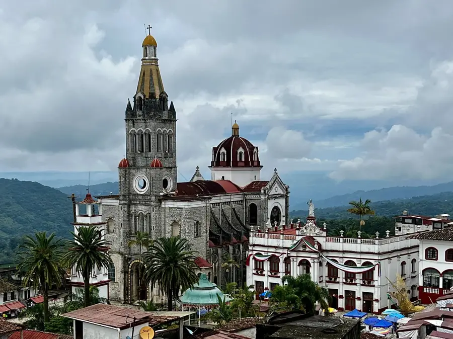
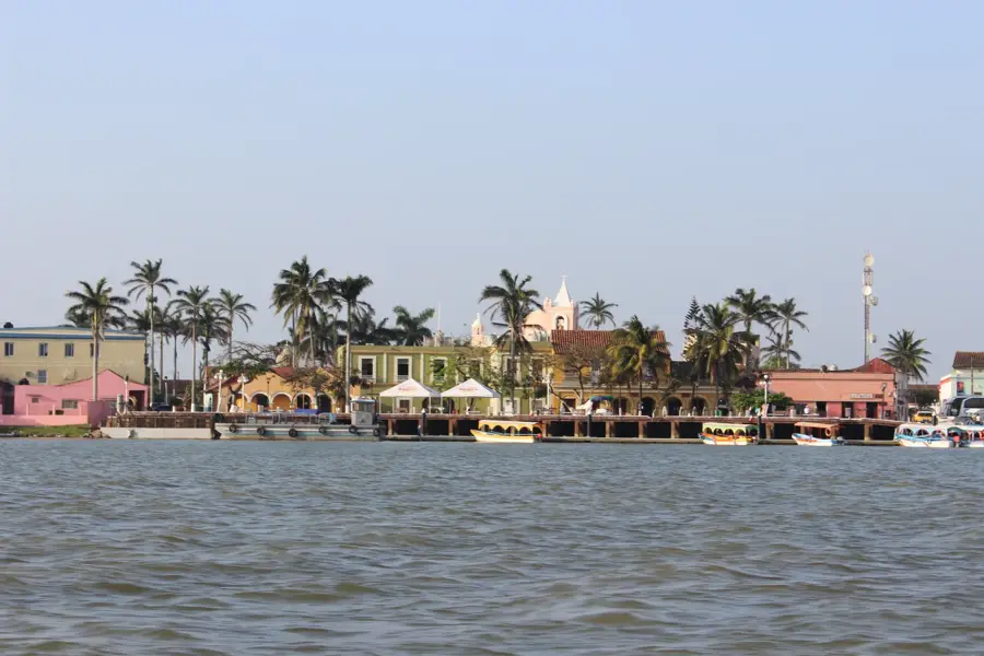
The Los Tuxtlas Biosphere Reserve in southern Veracruz is a remarkable 'ecological island' where the northernmost tropical rainforest in the Americas meets ancient volcanic peaks. This unique landscape, characterized by dramatic elevation changes, ranges from the shores of the Gulf of Mexico to the summits of the San Martín and Santa Martha volcanoes. The reserve is a hotspot for biodiversity, housing over 500 species of birds and more than 100 species of mammals, including the mantled howler monkey. It is also famous for its connection to the Olmec civilization, with numerous archaeological finds having been discovered in its fertile soils. The region's heavy rainfall feeds countless rivers and spectacular waterfalls, such as Eyipantla Falls. Despite historical pressure from cattle ranching, Los Tuxtlas remains a critical area for biological research and a bastion of wild nature in the state of Veracruz. Its cloud forests and lowland jungles offer a glimpse into the incredible natural wealth of Mexico's humid tropics.
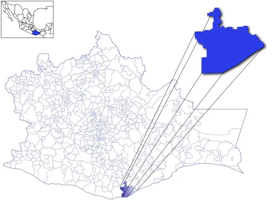
- Location: Mexico
- Nearby: La Nueva Victoria (7 km)
Best time to visit & climate
The most pleasant time to visit is Jan–Mar.
| Jan | Feb | Mar | Apr | May | Jun | Jul | Aug | Sep | Oct | Nov | Dec | |
|---|---|---|---|---|---|---|---|---|---|---|---|---|
| Avg °C | 21 | 22 | 24 | 26 | 28 | 28 | 27 | 27 | 27 | 26 | 24 | 22 |
| Rain mm | 100 | 53 | 41 | 30 | 84 | 209 | 246 | 294 | 386 | 384 | 216 | 96 |
📋 Practical info
Geography
Facts
- Los Tuxtlas was the site of Mexico's first biological research station, Catemaco, established in 1967.
- The reserve is home to the 'giant Olmec heads,' the largest of which was found in the nearby Tres Zapotes.
- It contains the San Martín Tuxtla volcano, which last erupted in 1793.
- Approximately 40% of all the bird species found in Mexico can be observed in this reserve.
- The region is one of the few places in the world where you can see rainforest growing right up to the edge of the sea.
Explore nearby
Notable places around
Route planner — Car & Motorhome
Where do you start? We build the route here, with stops and country notes along the way.
© OpenStreetMap contributors · OpenRouteService
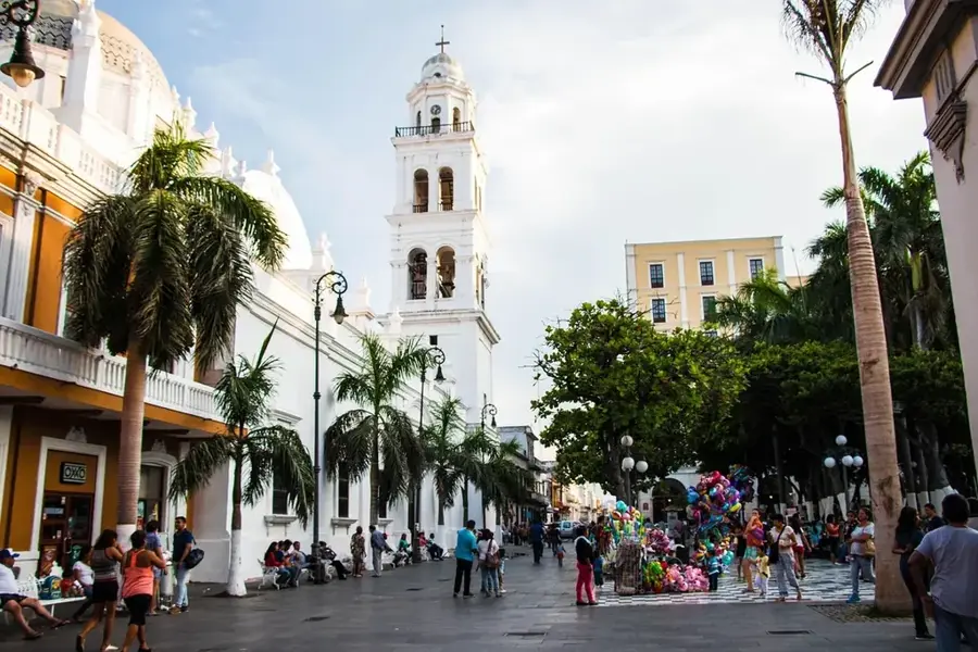
Sights in the town Los Tuxtlas (1)
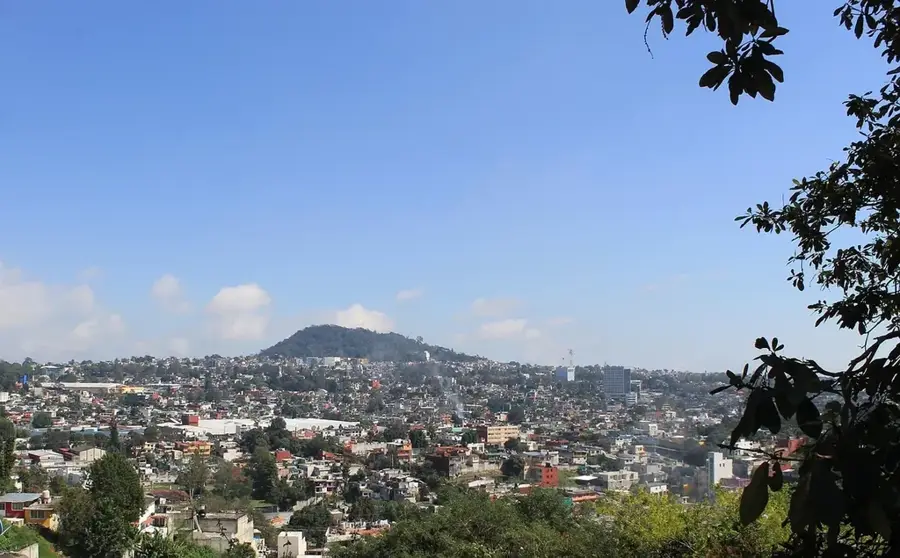
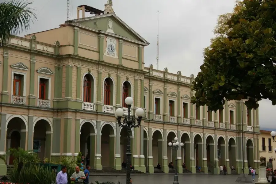
Sights nearby
Frequently asked questions
What is typical for Los Tuxtlas?
Is a 4x4 vehicle needed?
Are there accommodations?
Is the climate humid there?
Are there good hiking trails there?
Los Tuxtlas: where is it located?
Los Tuxtlas: when is the best time to visit?
Los Tuxtlas: why is it worth visiting?

Nearby cities


History & landmarks
More places