Plizio Visual Lab
El Tajín

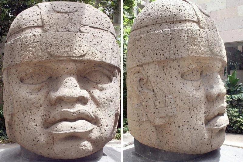
El Tajín, located in northern Veracruz state, was the premier city of the Totonac culture, reaching its zenith between 600 and 1200 CE. The site is architecturally distinct for its extensive use of niches, friezes, and intricate relief carvings. Its most iconic structure is the Pyramid of the Niches, featuring exactly 365 niches, likely corresponding to the solar calendar. El Tajín served as a major religious and political power, evidenced by its unusually high concentration of 17 ballcourts. The city was devastated by fire around 1200 CE and remained hidden by jungle until its rediscovery in 1785. Local Totonac people continue to maintain traditions linked to the site, such as the Voladores ritual dance. In 1992, El Tajín was designated a UNESCO World Heritage site, recognized as one of the best-preserved examples of a pre-Hispanic urban center in the Gulf of Mexico region.
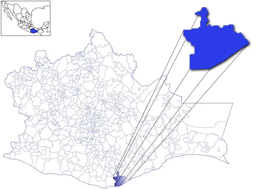
- Location: Mexico
- Top sights: Zona Arqueológica "El Tajín" · Teodoro Cano · Edificio de las Columnas
- Nearby: Poza Rica (9 km)
Best time to visit & climate
The most pleasant time to visit is Feb, Mar, Dec.
| Jan | Feb | Mar | Apr | May | Jun | Jul | Aug | Sep | Oct | Nov | Dec | |
|---|---|---|---|---|---|---|---|---|---|---|---|---|
| Avg °C | 19 | 21 | 23 | 27 | 28 | 28 | 27 | 27 | 26 | 24 | 21 | 19 |
| Rain mm | 46 | 36 | 44 | 54 | 77 | 192 | 195 | 210 | 304 | 209 | 90 | 42 |
📋 Practical info
Geography
Facts
- The Pyramid of the Niches stands approximately 25 meters high.
- The name Tajín means 'City of Thunder' in the Totonac language.
- It was discovered by chance in 1785 by Diego Ruiz.
- A total of 17 ballcourts have been identified at the site.
- Building I features elaborate relief carvings depicting Totonac rulers.
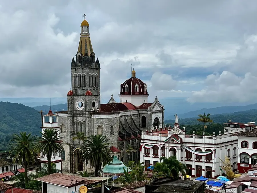
- Located in the fertile lowlands near the modern town of Papantla.
Explore nearby
Notable places around
Route planner — Car & Motorhome
Where do you start? We build the route here, with stops and country notes along the way.
© OpenStreetMap contributors · OpenRouteService
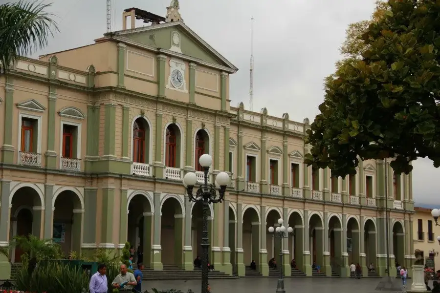
Sights in the town El Tajín (7)
Sights nearby
Frequently asked questions
When is the best time to visit El Tajín?
How much time is needed?
Are you allowed to take photos in El Tajín?
Is it suitable for children?
Is there an entrance fee?
El Tajín: where is it located?
El Tajín: what is there to see?
El Tajín: when is the best time to visit?
El Tajín: why is it worth visiting?

Nearby cities

History & landmarks
More places