Plizio Visual Lab
Le Morne Brabant

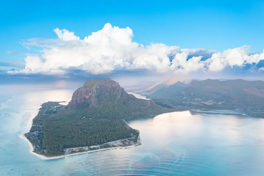
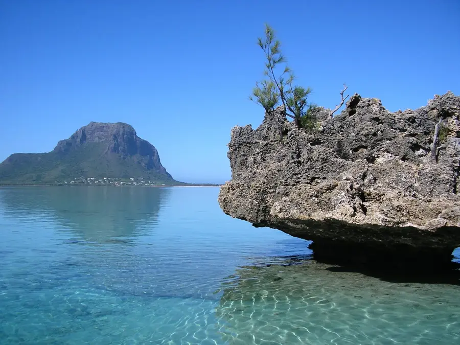
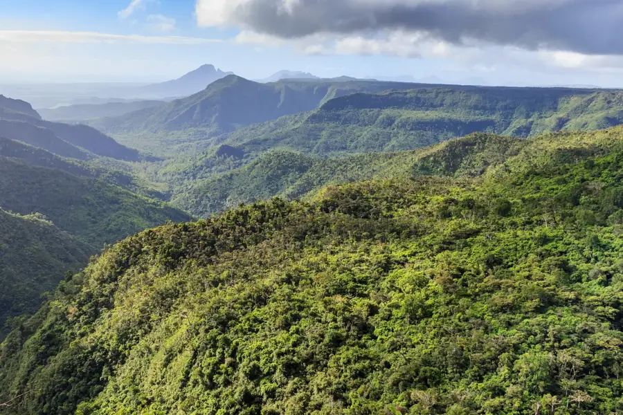
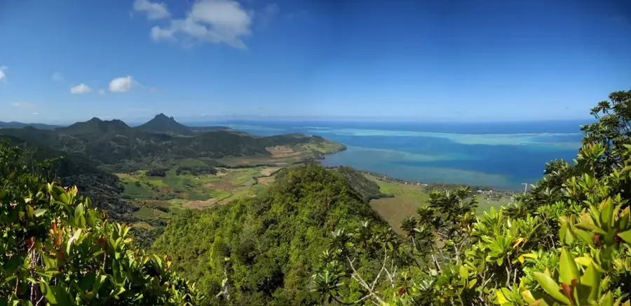
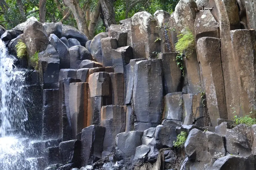
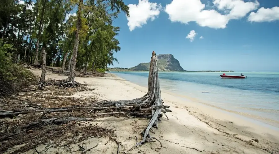
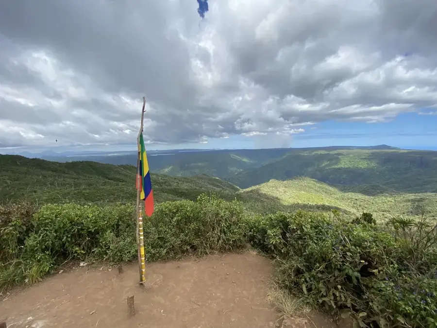
Le Morne Brabant is a prominent peninsula at the southwestern tip of Mauritius, dominated by a 556-meter-high basaltic monolith. The site was inscribed on the UNESCO World Heritage list in 2008 and stands as a powerful symbol of resistance against slavery. During the 18th and early 19th centuries, the inaccessible summit served as a refuge for escaped slaves, known as maroons, who lived in small settlements in the caves and on the plateau. The peninsula is surrounded by a coral lagoon and is home to some of the rarest plant species in the world, including Trochetia boutoniana, the national flower of Mauritius. Climbing to the peak provides wide-open views of the famous 'underwater waterfall' phenomenon, an optical illusion caused by sand silt movements. Today, Le Morne is not only a place of remembrance but also a center for nature conservation and sustainable tourism. Its combined cultural significance and natural beauty make it one of the most important landmarks in the Indian Ocean.
- Location: Mauritius
- Top sights: Le Morne Brabant · Le Morne Cross · North Viewpoint
- Nearby: Case Noyale (4 km)
Best time to visit & climate
The most pleasant time to visit is Jul–Sep.
| Jan | Feb | Mar | Apr | May | Jun | Jul | Aug | Sep | Oct | Nov | Dec | |
|---|---|---|---|---|---|---|---|---|---|---|---|---|
| Avg °C | 27 | 27 | 27 | 26 | 25 | 23 | 22 | 22 | 23 | 24 | 25 | 26 |
| Rain mm | 127 | 113 | 124 | 79 | 47 | 32 | 28 | 26 | 29 | 31 | 34 | 48 |
📋 Practical info
Geography
Facts
- Inscribed as a UNESCO World Heritage site in 2008
- The central basaltic mountain reaches a height of 556 meters
- Historical sanctuary for escaped slaves known as maroons
- Natural habitat of the rare national flower, Trochetia boutoniana
- Famous for the 'underwater waterfall' optical illusion off its coast
- Covers an area of approximately 12 hectares on the peninsula
Explore nearby
Notable places around
Route planner — Car & Motorhome
Where do you start? We build the route here, with stops and country notes along the way.
© OpenStreetMap contributors · OpenRouteService
Sights in the town Le Morne Brabant (7)
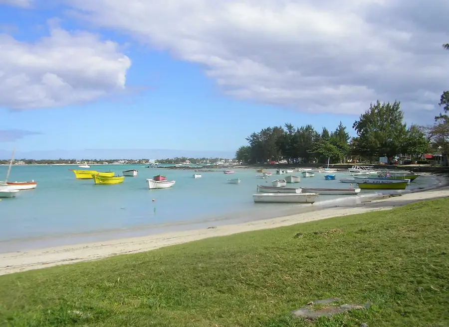
Le Morne
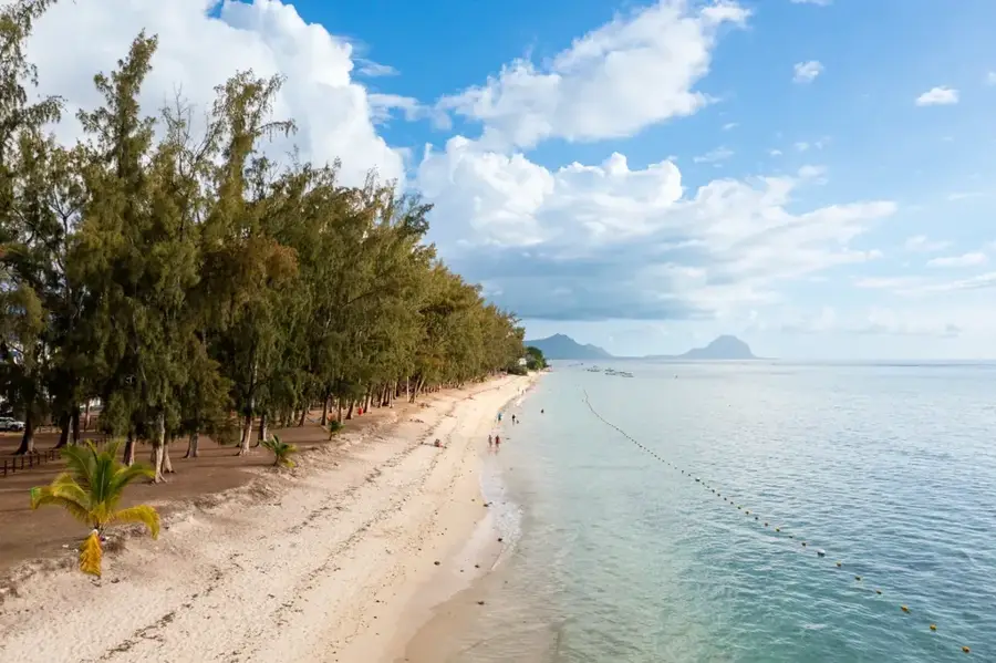
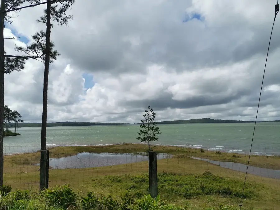
Sandy beach at the foot of Le Morne Brabant, with a view of the mountain and the sea.
Kitesurf Area Le Morne
Beach section in front of Le Morne, known for constant winds and well-suited kitesurfing conditions.
Le Morne Cemetery
Historic cemetery on the Le Morne peninsula, a testament to settlement history.
Sights nearby
Frequently asked questions
Are you allowed to hike alone?
Why is the mountain protected?
Is the trail difficult?
What is the best time of day?
How long does the climb take?
Le Morne Brabant: where is it located?
Le Morne Brabant: what is there to see?
Le Morne Brabant: when is the best time to visit?
Le Morne Brabant: why is it worth visiting?

Nearby cities
History & landmarks

Nature
More places