Plizio Visual Lab
Tagant Escarpment
Weather…
Water temperature…
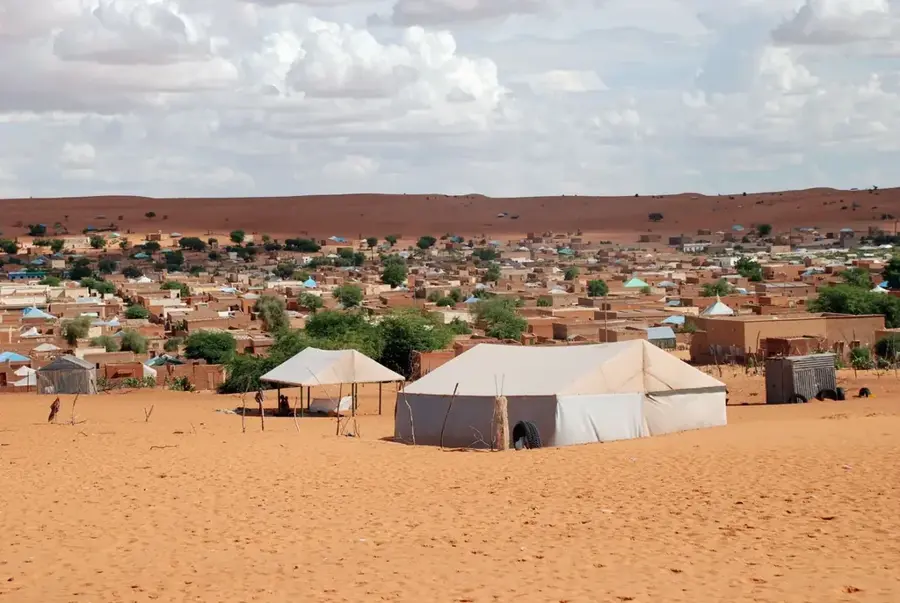
The Tagant Escarpment is a formidable geological feature in central Mauritania, defining the rugged edge of the Tagant Plateau. This massive sandstone cliff stretches for hundreds of miles, creating a dramatic vertical transition between the high rocky plateau and the sandy lowlands of the Hodh basin. The escarpment's layered rock faces tell a story of millions of years of wind and water erosion, displaying a palette of deep reds and ochres. Historically, it served as a vital navigational beacon for trans-Saharan caravans, with its strategic passes providing the only access routes to the highlands. At the foot of the escarpment, hidden springs and seasonal wadis support lush oases where traditional date palm cultivation still thrives. Archaeologically, the area is rich with Neolithic rock art, found in sheltered alcoves along the cliffside. For modern travelers, the escarpment features some of the most sweeping desert vistas in West Africa, representing the raw, untamed beauty of the Saharan interior.
- Location: Mauritania
- Nearby: Moudjéria (63 km)
Best time to visit & climate
The most pleasant time to visit is Jan, Feb, Dec.
| Jan | Feb | Mar | Apr | May | Jun | Jul | Aug | Sep | Oct | Nov | Dec | |
|---|---|---|---|---|---|---|---|---|---|---|---|---|
| Avg °C | 20 | 23 | 27 | 30 | 33 | 35 | 32 | 30 | 30 | 29 | 26 | 22 |
| Rain mm | 1 | 1 | 9 | 1 | 2 | 9 | 46 | 91 | 56 | 35 | 1 | 0 |
📋 Practical info
Geography
Facts
- Tidjikja is the capital of the Tagant region, famous for its date palms.
- The Guelta d'Matmata is known for housing rare desert crocodiles.
- The escarpment cliffs reach elevations of up to 500 meters.
- Tichitt, an ancient trans-Saharan trading town, is located here.
- The plateau is geologically composed of Precambrian sandstone layers.
- The region is renowned for its distinctive traditional Mauritanian architecture.
Explore nearby
Notable places around
Route planner — Car & Motorhome
Where do you start? We build the route here, with stops and country notes along the way.
© OpenStreetMap contributors · OpenRouteService
Sights nearby
Frequently asked questions
What characterizes the Tagant Escarpment?
Is it safe for hikers?
How do you get onto the plateau?
Are there settlements there?
What is the best season?
Tagant Escarpment: where is it located?
Tagant Escarpment: when is the best time to visit?
Tagant Escarpment: why is it worth visiting?

Nearby cities


