Plizio Visual Lab
Cap Tafarit
Weather…
Water temperature…
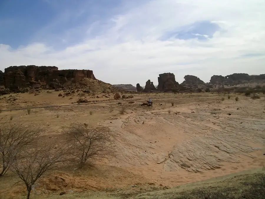
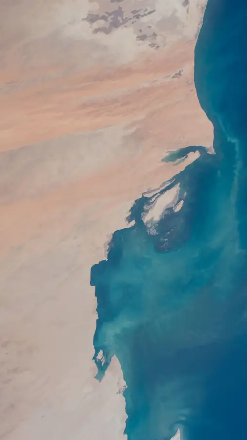
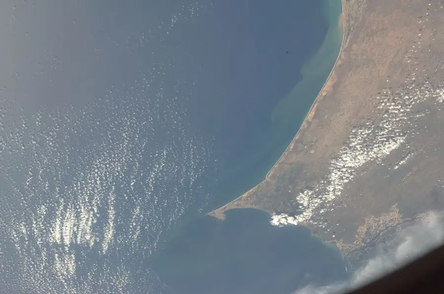
Cap Tafarit is a striking headland on Mauritania’s Atlantic coast, located within the Banc d'Arguin National Park, a UNESCO World Heritage site. It is famously known as the place where the golden dunes of the Sahara Desert dramatically cascade into the turquoise waters of the Atlantic Ocean. The landscape is defined by rugged limestone cliffs and vast, empty sandy beaches that stretch as far as the eye can see. The waters surrounding the cape are exceptionally fertile due to the Canary Current, attracting millions of migratory birds such as pelicans, flamingos, and spoonbills, making it a world-class birdwatching destination. Cap Tafarit also provides a window into the traditional life of the Imraguen people, who continue to use ancient fishing techniques in these protected waters. The raw power of the wind, the shifting sands, and the constant roar of the ocean waves create a sensory experience like no other. For travelers seeking true wilderness and ecological wonder, Cap Tafarit is a quintessential stop in the West African desert landscape.
- Location: Mauritania
- Nearby: Banc d'Arguin National Park (57 km)
Best time to visit & climate
The most pleasant time to visit is Jan, Feb, Dec.
| Jan | Feb | Mar | Apr | May | Jun | Jul | Aug | Sep | Oct | Nov | Dec | |
|---|---|---|---|---|---|---|---|---|---|---|---|---|
| Avg °C | 19 | 20 | 23 | 24 | 26 | 28 | 28 | 29 | 30 | 28 | 24 | 21 |
| Rain mm | 2 | 3 | 8 | 1 | 0 | 0 | 6 | 13 | 14 | 9 | 2 | 1 |
📋 Practical info
Geography
Facts
- Part of Banc d'Arguin Park
- Known for fossil discoveries
- Ideal for fishing and camping
- Home to many seabirds
- Sandstone cliffs at the ocean
- UNESCO-protected region
Explore nearby
Notable places around
Route planner — Car & Motorhome
Where do you start? We build the route here, with stops and country notes along the way.
© OpenStreetMap contributors · OpenRouteService
Sights nearby
Frequently asked questions
What is special about Cap Tafarit?
Can I camp there?
What is the water quality like?
Is there infrastructure?
Dangers?
Cap Tafarit: where is it located?
Cap Tafarit: when is the best time to visit?
Cap Tafarit: why is it worth visiting?

Nearby cities