Plizio Visual Lab
Dingli
ℹ️Practical info — Dingli
▾
🌤 Weather — 5 days
📍 Nearby
Sights nearby
💡 Tips
- Arrive at the St. Mary Magdalene Chapel about 45 minutes before sunset for the best photo opportunities.
- Bring a light sweater or jacket; the cliffs are 250 meters above sea level and it gets very windy and chilly after sunset.
- Be extremely careful near the cliff edges as there are no safety barriers in most areas.
- Take bus route 201 for a scenic journey connecting Dingli Cliffs with the Blue Grotto and the airport.
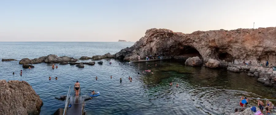
- Look for the small, flat-topped island of Filfla on the horizon, which is now a protected bird sanctuary.
🍽 Food
Traditional Maltese rabbit is the specialty in Dingli's village restaurants, often served with mountain views.
Look for roadside stalls along the cliff road selling authentic honey harvested from local hives.
Buy local 'gbejniet' (cheese) and bread in the village center to eat at the cliff's edge during sunset.
🛍 Shopping · 🧘 Quiet spots
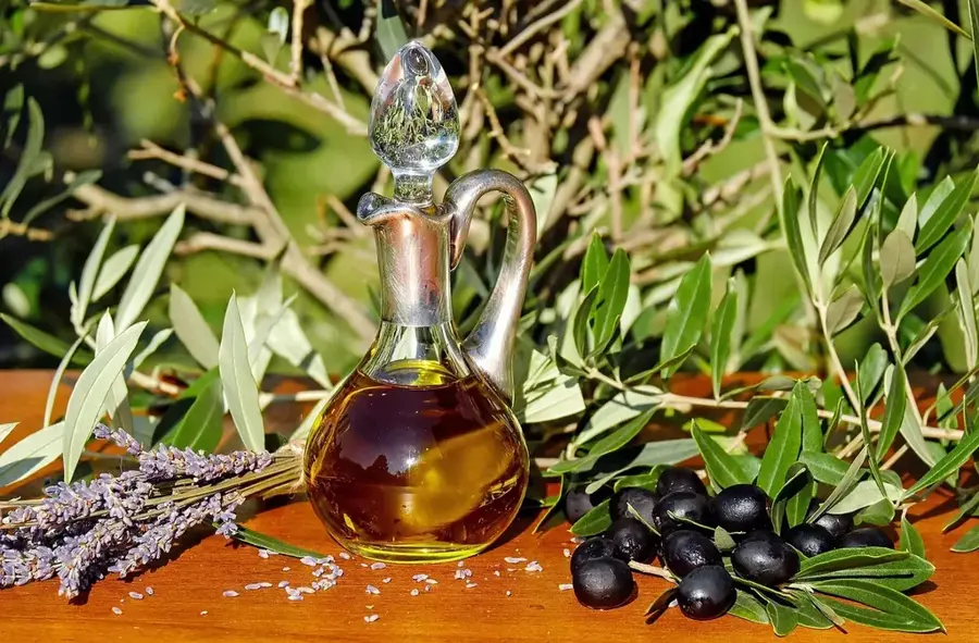
Roadside stalls sell olive oil, sun-dried tomatoes, and capers sourced directly from nearby fields.
The small shops in the center of Dingli village are great for finding authentic Maltese ingredients.
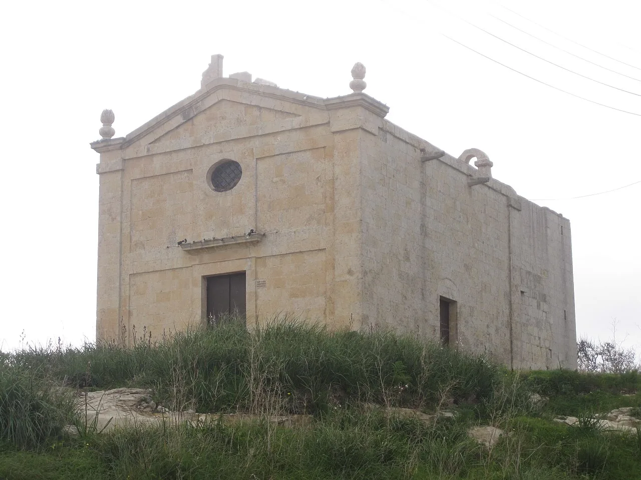
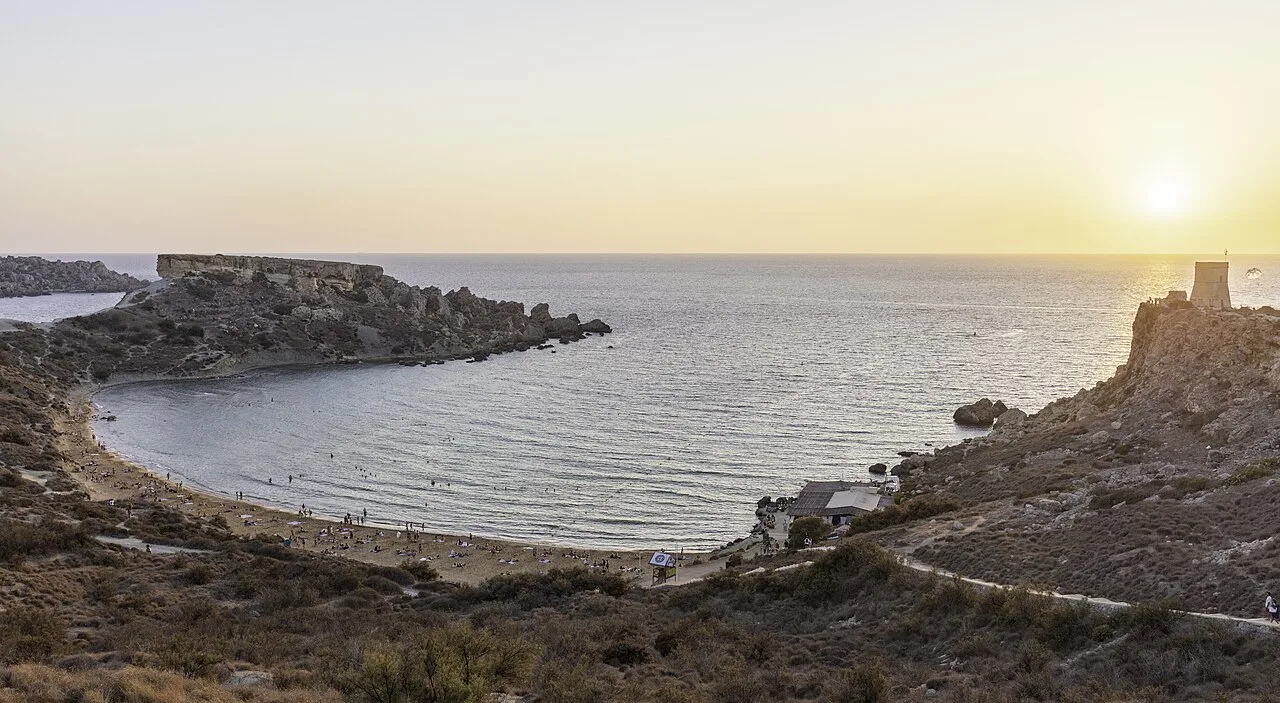
A tiny, serene chapel on the cliff edge, great for quiet reflection with a vast sea view.
A scenic viewpoint a short walk away from the main road for total silence and isolation.
Water temperature…
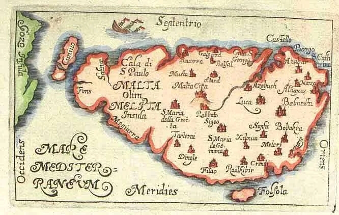
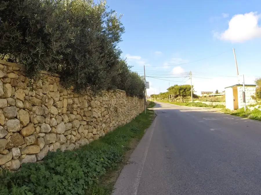
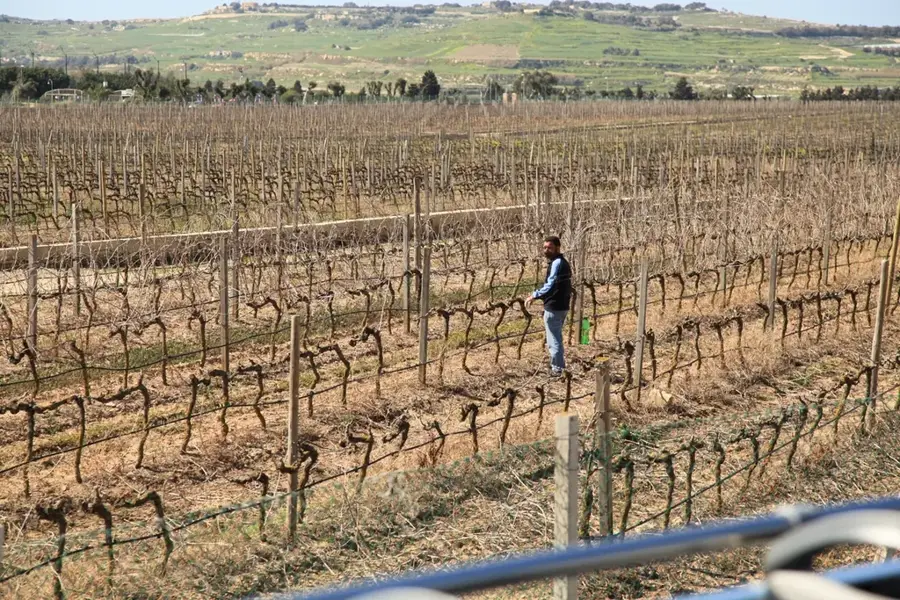
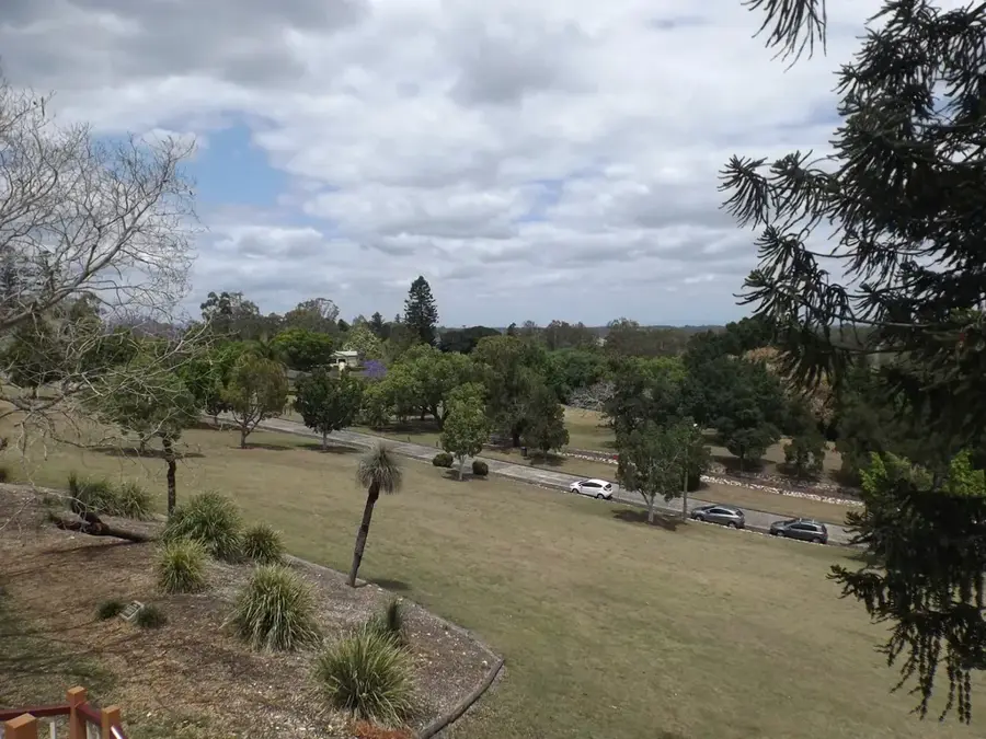
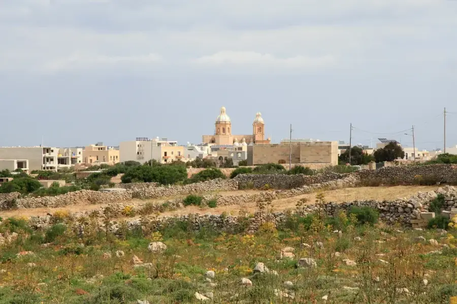
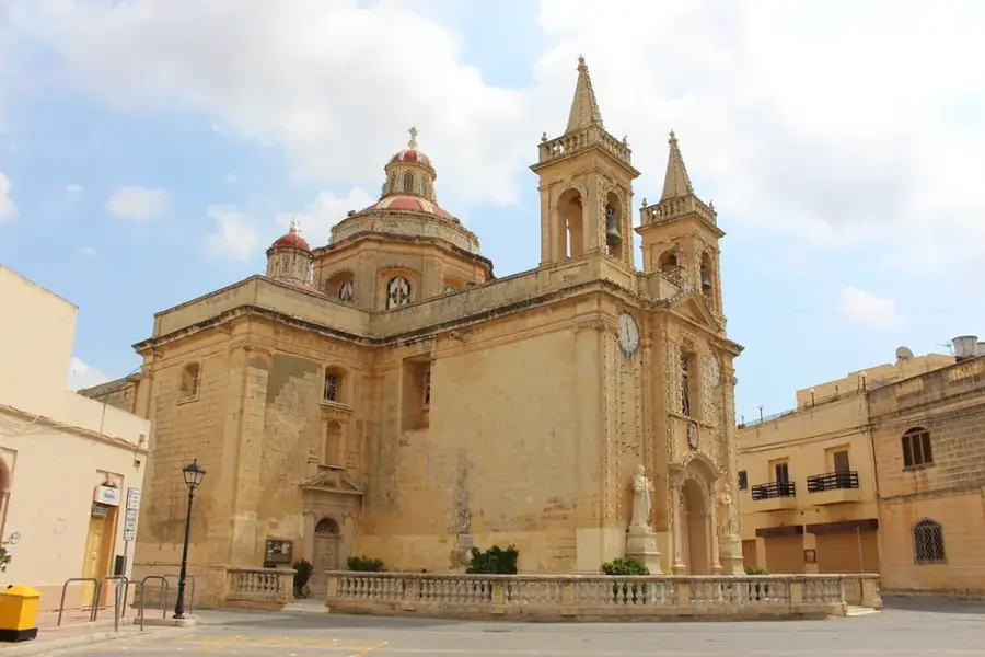
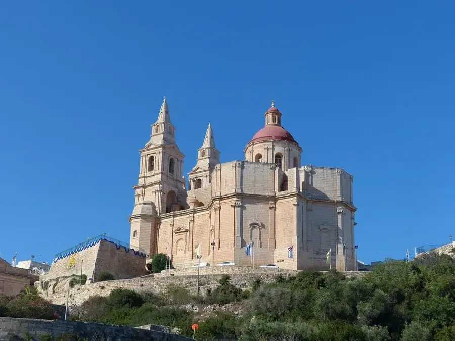
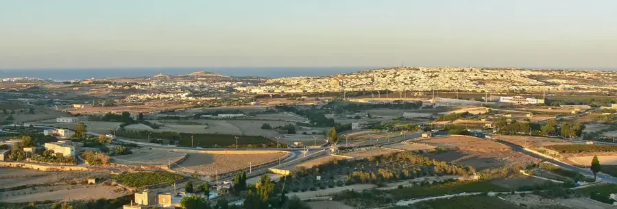
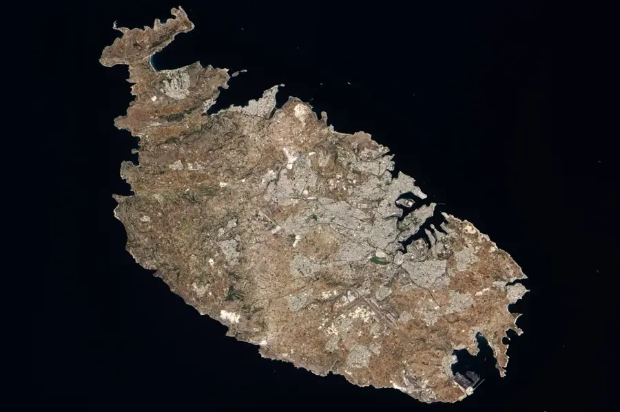
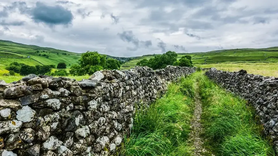
Dingli is a tranquil village on the west coast of Malta, situated at the highest point of the archipelago, approximately 253 meters above sea level. The town is world-famous for the Dingli Cliffs, massive limestone cliffs that drop sheer into the Mediterranean Sea, offering panoramic views. On clear days, the view extends to the uninhabited island of Filfla. Geographically, the region is characterized by a barren high plateau that has been used for agriculture since the Middle Ages. A landmark of the cliffs is the small, lonely Chapel of St. Mary Magdalene, erected on the cliff edge in 1646. Dingli is also the site of a prominent radar station of the Maltese Air Force, often referred to as the 'golf ball' due to its spherical shape. Despite the tourist draw of the cliffs, the village center has retained its peaceful, rural character. The surrounding area is excellent for hiking, where prehistoric cart ruts and ancient tombs can be discovered. Historically, the region's height and steep coastline provided a natural defense point against sea-based invasions.
- Location: Malta
- Top sights: Misraħ Għar il-Kbir · Verdala Palace · Cart Ruts
- Nearby: Żebbuġ, Malta (6 km)
- Population: ~3.711
Best time to visit & climate
The most pleasant time to visit is May–Jul.
| Jan | Feb | Mar | Apr | May | Jun | Jul | Aug | Sep | Oct | Nov | Dec | |
|---|---|---|---|---|---|---|---|---|---|---|---|---|
| Avg °C | 15 | 14 | 15 | 16 | 19 | 23 | 26 | 27 | 25 | 23 | 20 | 16 |
| Rain mm | 74 | 65 | 51 | 33 | 17 | 11 | 4 | 10 | 63 | 82 | 95 | 82 |
Geography
Facts
- Dingli is situated at Malta's highest elevation of 253 meters above sea level.
- The Chapel of St. Mary Magdalene was built on the cliffs in 1646.
- The radar station in Dingli is used for national airspace surveillance.
- The uninhabited island of Filfla is visible from the Dingli cliffs.
- The prehistoric Misraħ Għar il-Kbir cart ruts are located nearby.
- Dingli was an independent parish in the Middle Ages before being annexed to Rabat.
Explore nearby
Notable places around
Route planner — Car & Motorhome
Where do you start? We build the route here, with stops and country notes along the way.
© OpenStreetMap contributors · OpenRouteService
Sights in the town Dingli (11)
Frequently asked questions
How high are the Dingli Cliffs?
When is the best time to visit?
What is the St. Mary Magdalene Chapel?
Can you go hiking there?
What is the radar station?
Dingli: where is it located?
Dingli: what is there to see?
Dingli: when is the best time to visit?
Dingli: why is it worth visiting?

Nearby cities
History & landmarks

Nature
More places