Plizio Visual Lab
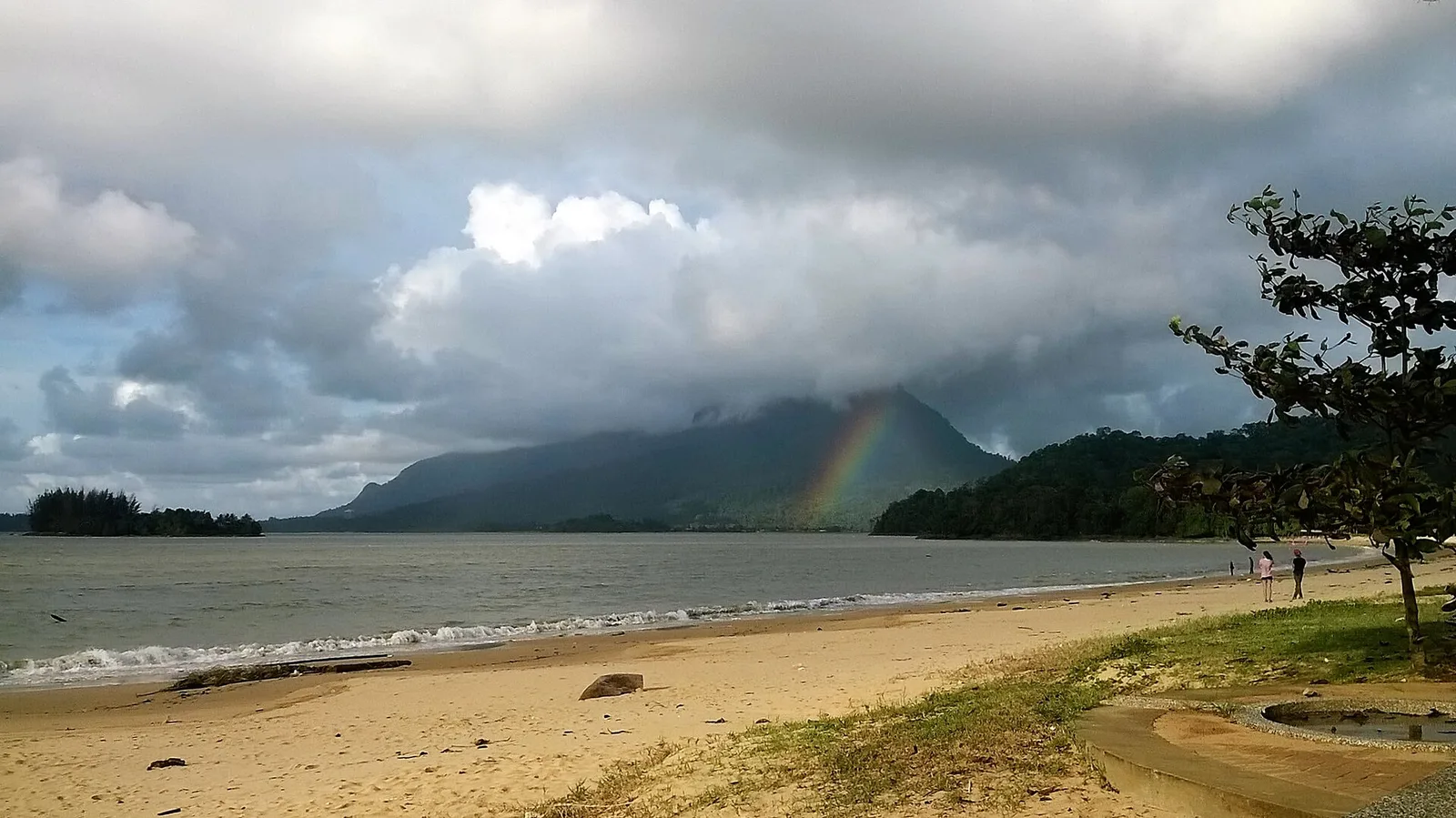
Mount Santubong
Weather…
Water temperature…
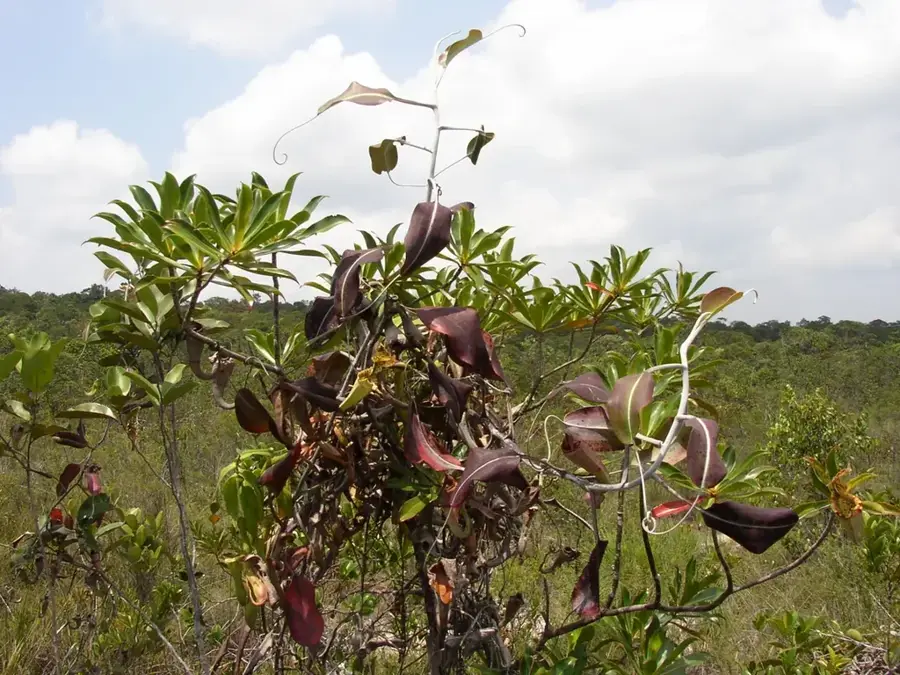
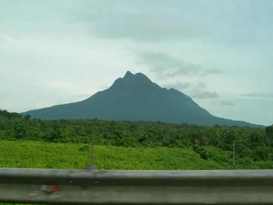
Mount Santubong, with an elevation of 810 meters, is a prominent and sacred mountain in Sarawak, Borneo, overlooking the South China Sea. Its distinctive shape is the subject of local legends, most famously telling the story of a celestial princess. The mountain and its surroundings are a treasure trove of biodiversity, part of the Santubong National Park. Archaeological evidence found at its foothills, such as the Bongkissam shrine, indicates a thriving trading hub between the 7th and 13th centuries, predating the Malacca Sultanate. The area reveals iron-smelting sites and pottery from the Tang and Song dynasties of China. The famed naturalist Alfred Russel Wallace developed his theory of natural selection while studying the area's fauna in the 1850s. The mountain's ecosystem links directly to Biology K8, focusing on rainforest biodiversity and evolution.
- Location: Malaysia
- Top sights: Barbed wire fence, waöl on tje right side of the fence at the gate to enter the beach · View Point 1 · Mount Santubong Summit
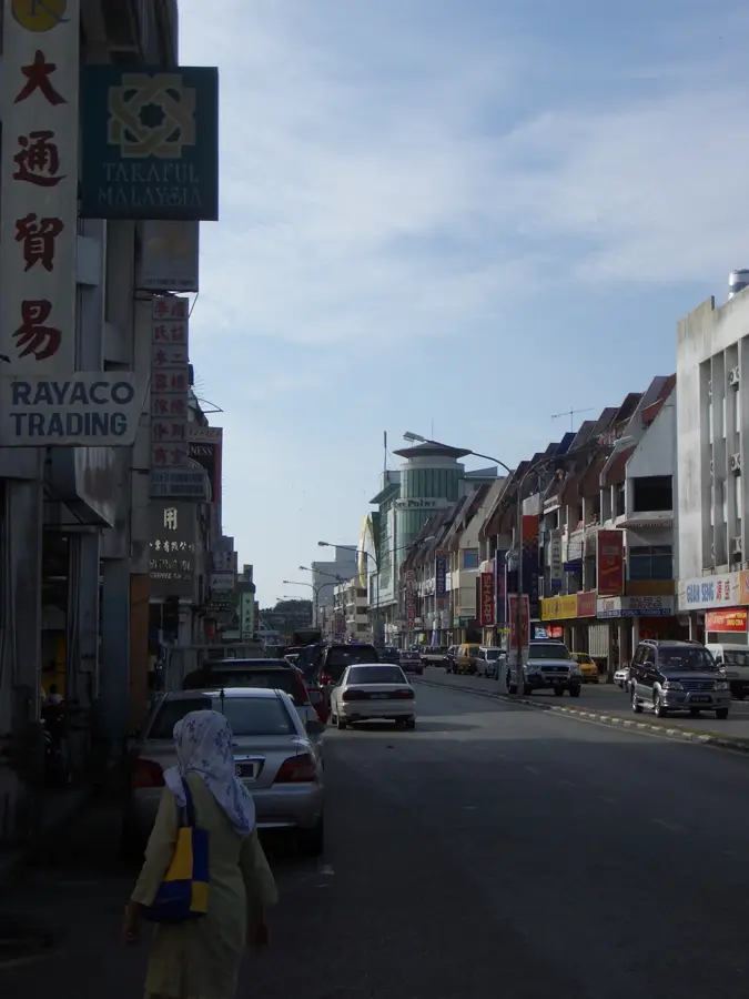
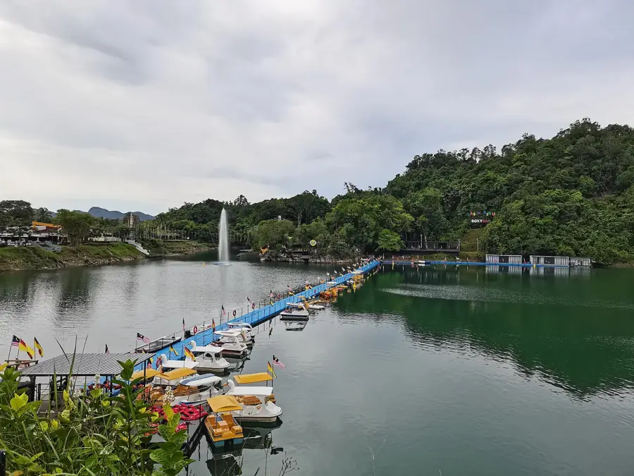
- Nearby: Lawas / Lake Tasik Biru (Bau) (23 km)
Best time to visit & climate
The most pleasant time to visit is Jun–Aug.
| Jan | Feb | Mar | Apr | May | Jun | Jul | Aug | Sep | Oct | Nov | Dec | |
|---|---|---|---|---|---|---|---|---|---|---|---|---|
| Avg °C | 26 | 26 | 27 | 27 | 28 | 27 | 27 | 27 | 27 | 27 | 27 | 26 |
| Rain mm | 547 | 403 | 302 | 282 | 239 | 229 | 215 | 220 | 241 | 319 | 345 | 461 |
📋 Practical info
Geography
Facts
- Mount Santubong stands at 810 meters (2,657 ft) tall.
- Alfred Russel Wallace conducted his Sarawak research here in 1855.
- The Bongkissam archaeological site dates back to the 8th century.
- It was a major iron-smelting center in the first millennium.
- The legend of Princess Santubong and Princess Sejinjang is tied to the mountain's origins.
- The area was gazetted as a national park in 2007.
- The mountain's slopes are home to the proboscis monkey and hornbills.
- Chinese ceramics from the Tang (618-907) and Song (960-1279) dynasties were found here.
Explore nearby
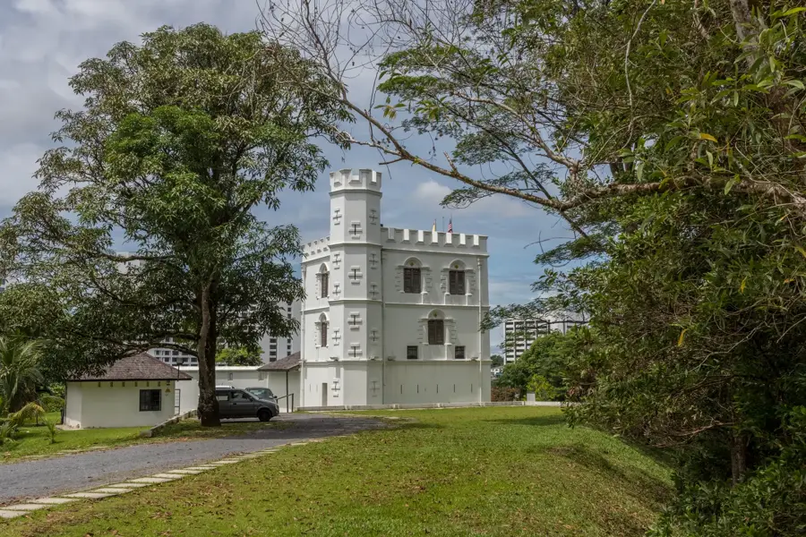
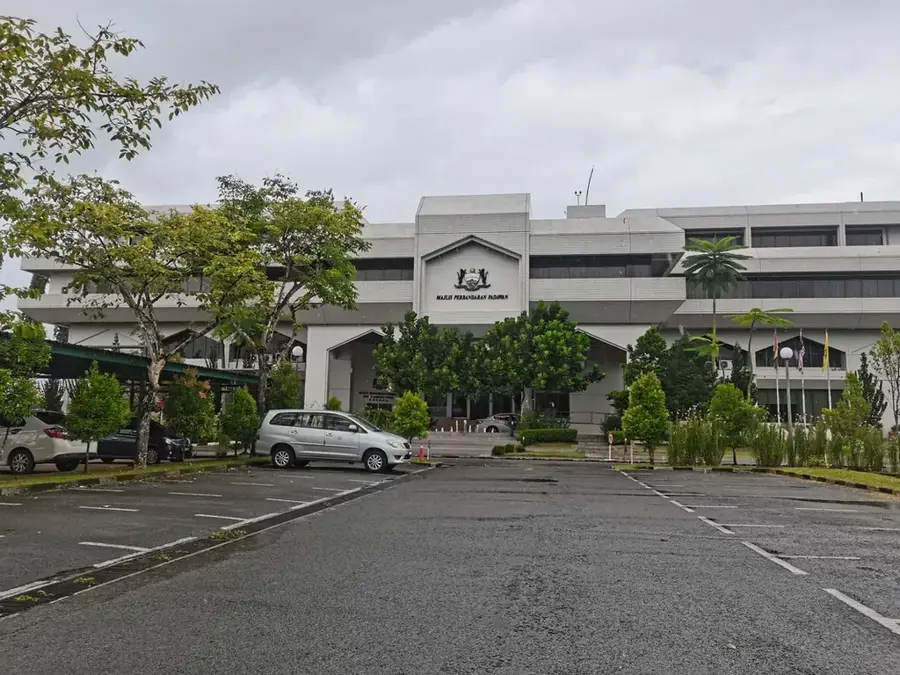
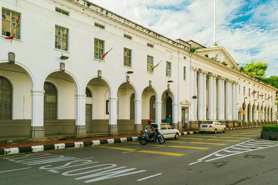
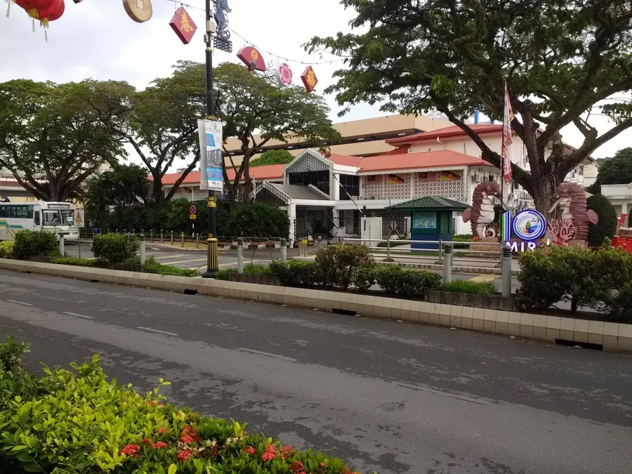
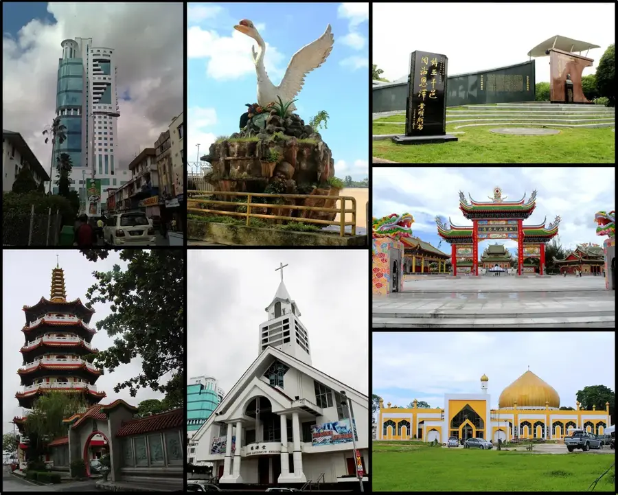
Notable places around
Route planner — Car & Motorhome
Where do you start? We build the route here, with stops and country notes along the way.
© OpenStreetMap contributors · OpenRouteService
Sights in the town Mount Santubong (10)
Sights nearby
Frequently asked questions
Is hiking Santubong challenging?
Should I book a guide?
How long does the climb take?
Can you see animals on the way?
Is the trail marked?
Mount Santubong: where is it located?
Mount Santubong: what is there to see?
Mount Santubong: when is the best time to visit?
Mount Santubong: why is it worth visiting?

Nearby cities


Nature
More places