Plizio Visual Lab
Mamer River
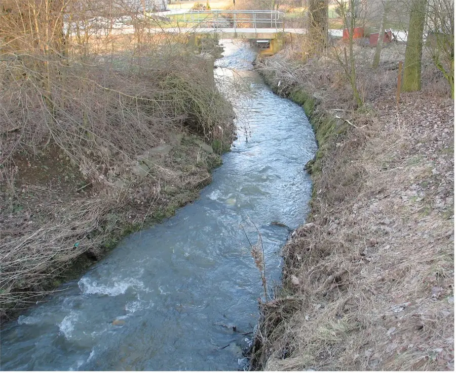
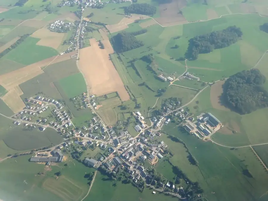
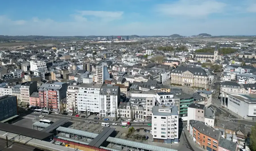
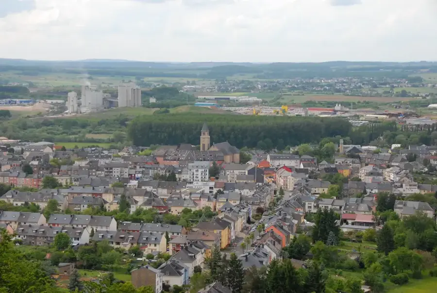
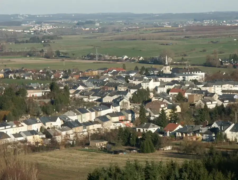
The Mamer is a river approximately 26 kilometers long in Luxembourg, serving as a significant left-bank tributary of the Alzette. It originates east of Hivange at an altitude of about 350 meters and flows northward through the municipalities of Garnich, Mamer, and Kopstal. It finally joins the Alzette at Mersch. The Mamer valley is geologically notable for having carved deeply into Luxembourg sandstone, which is particularly evident in the 'Mamerleeën' area near Schoenfels through impressive cave systems. The riparian zones are characterized by near-natural alder and ash forests, providing a valuable habitat for rare animal species such as the black stork. Historically, the Mamer was used to power water mills, some of which are preserved today as residential buildings or monuments. In recent years, extensive renaturation projects have been undertaken to restore the river's natural dynamics and to design flood protection in an ecologically sound manner.
- Location: Luxembourg
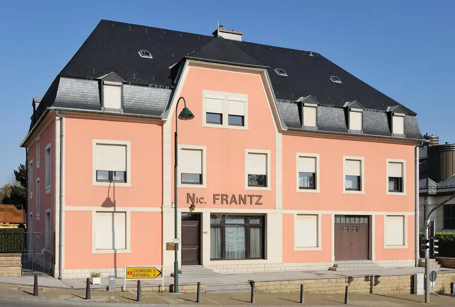
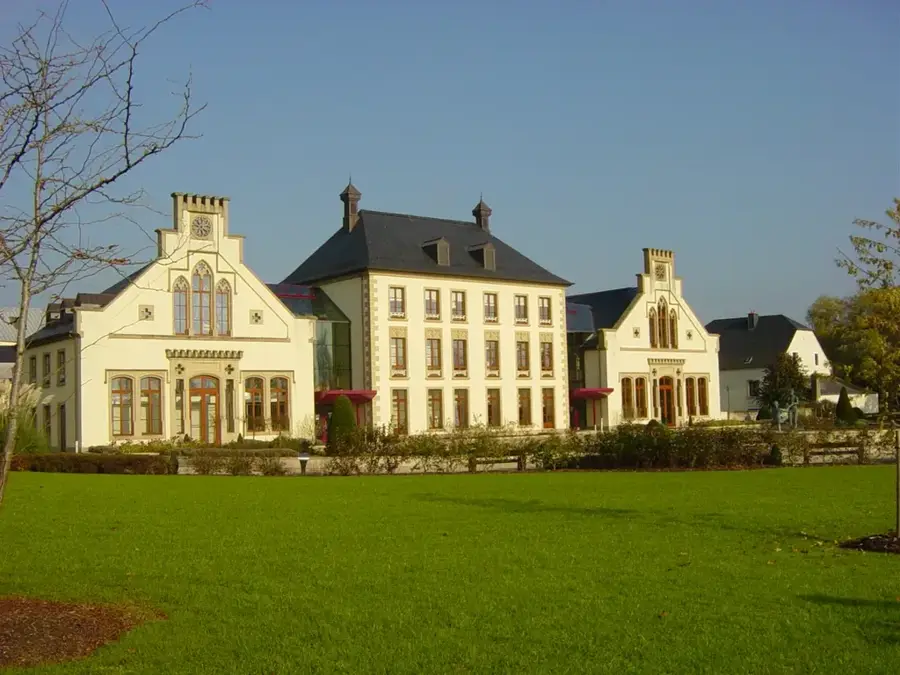
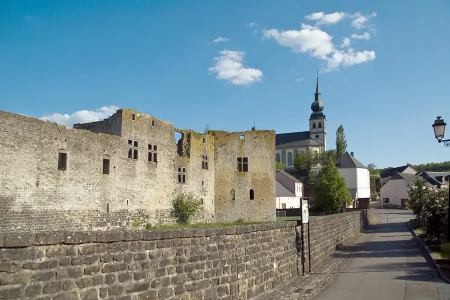
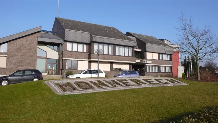
- Top sights: Kinneksbond · Réimesch Thermen zu Mamer · Saint-Jean-Baptiste
- Nearby: Leudelange (7 km)
Best time to visit & climate
The most pleasant time to visit is Jun–Aug.
| Jan | Feb | Mar | Apr | May | Jun | Jul | Aug | Sep | Oct | Nov | Dec | |
|---|---|---|---|---|---|---|---|---|---|---|---|---|
| Avg °C | 1 | 1 | 5 | 9 | 13 | 17 | 19 | 19 | 15 | 10 | 5 | 2 |
| Rain mm | 67 | 57 | 57 | 46 | 70 | 68 | 65 | 72 | 56 | 65 | 68 | 79 |
📋 Practical info
Geography
Facts
- The length of the Mamer river is approximately 25.6 kilometers.
- The source is located at an altitude of 350 meters near Hivange.
- The river joins the Alzette in the town of Mersch.
- The drainage basin spans about 81 square kilometers.
- The 'Mamerleeën' are artificial and natural caves in the valley.
- The river flows through Garnich, Mamer, and Kopstal municipalities.
Explore nearby
Notable places around
Route planner — Car & Motorhome
Where do you start? We build the route here, with stops and country notes along the way.
© OpenStreetMap contributors · OpenRouteService
Sights in the town Mamer River (8)
Réserve naturelle communale Driesch
Local nature reserve with meadows and hedgerows.
Hondsfiels
Archaeological site with Roman-era remains.
Direbond
Nature reserve with forest and wetland habitats near Mamer.
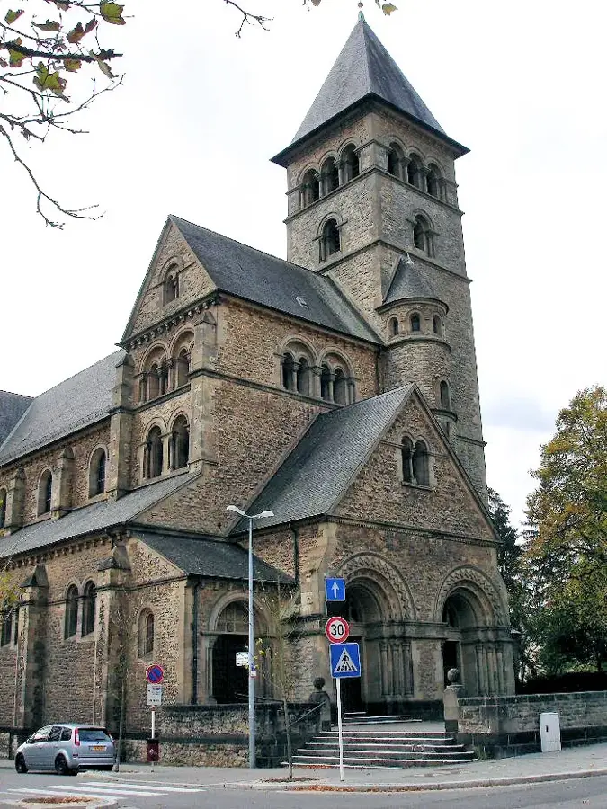
Église Saints-Pierre-et-Paul
Church in Mamer dedicated to Saints Peter and Paul.
Sights nearby
Frequently asked questions
Where does the Mamer flow?
Are there hiking trails in the Mamer valley?
Can you cycle there?
Are there Roman ruins nearby?
Where does the Mamer flow into?
Mamer River: where is it located?
Mamer River: what is there to see?
Mamer River: when is the best time to visit?
Mamer River: why is it worth visiting?

Nearby cities


History & landmarks
More places