Plizio Visual Lab
Greiveldange Hills
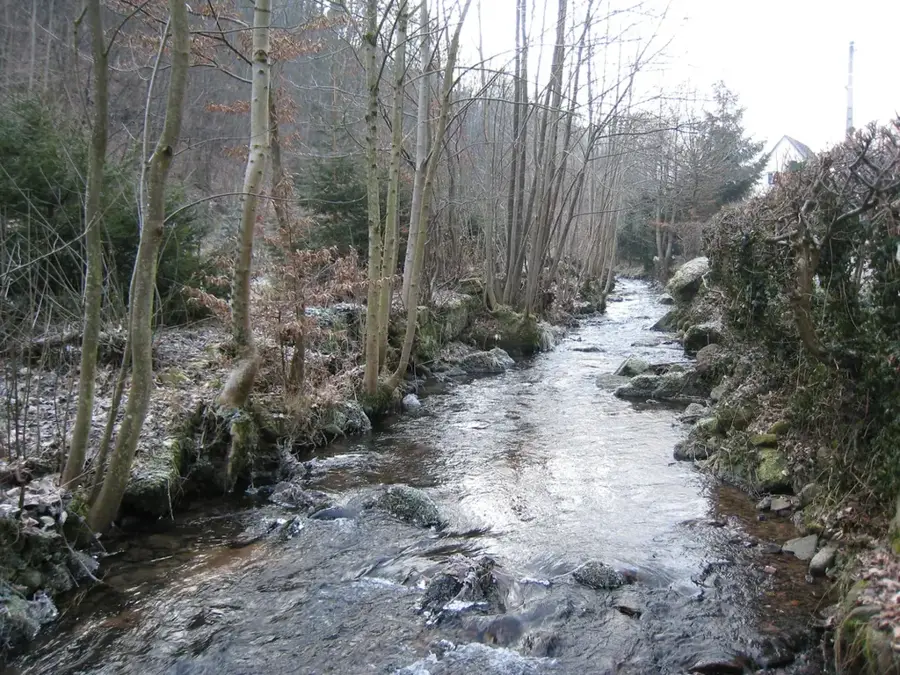
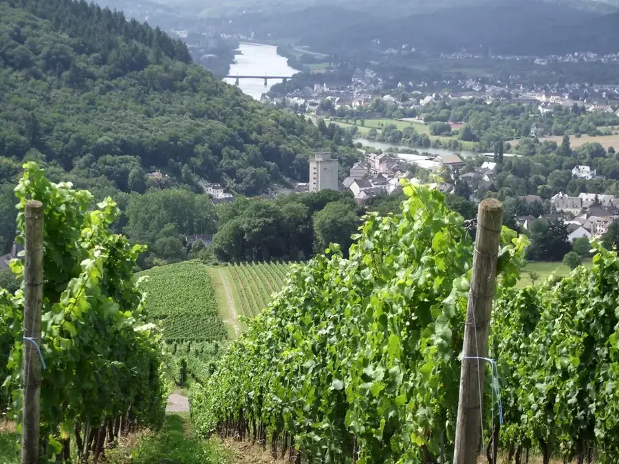
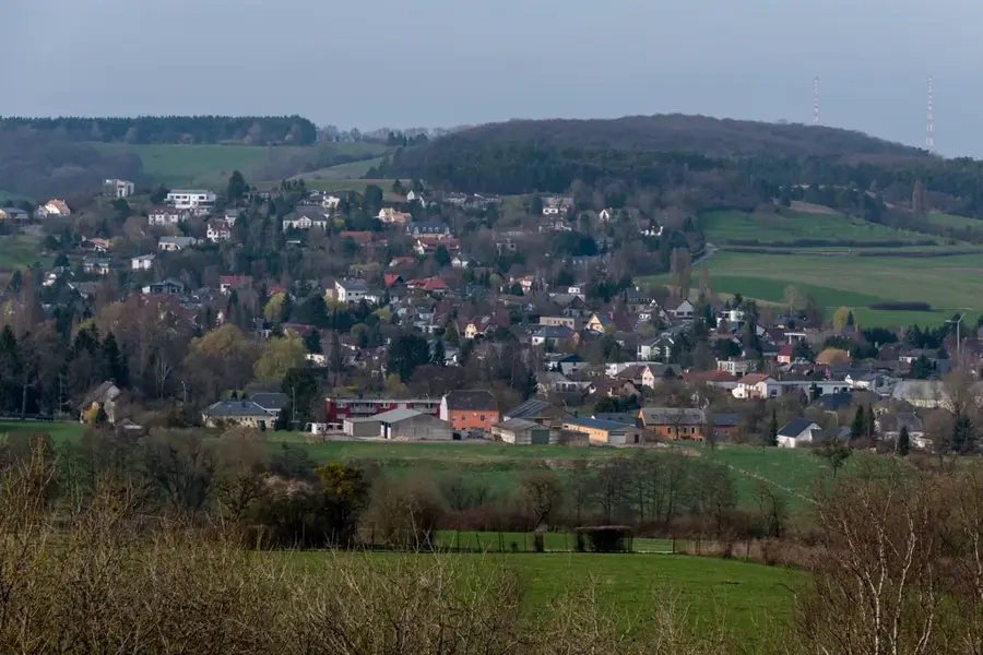
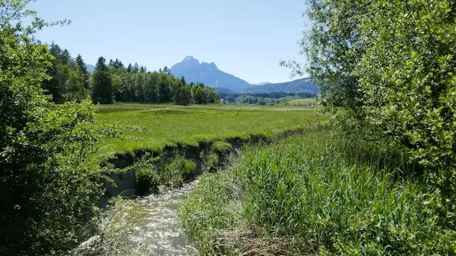
The Greiveldange hills in the Moselle hinterland are characterized by a gentle, almost idyllic landscape that is a true insider tip for hikers. Away from the main tourist crowds, this area provides a mix of dense deciduous forests, expansive orchards, and hidden valleys. The village of Greiveldange itself is picturesquely tucked away within this chain of hills, which is notable for its geological diversity. In spring, the region transforms into a sea of white and pink blossoms as cherry and apple trees come into bloom. The forests of the Greiveldange hills are well-known for their abundance of wild herbs and mushrooms, making them a popular destination for foragers. Numerous small streams have carved deep notch valleys into the rock, creating a cool microclimate. The peace and seclusion of this hilly landscape make it a well-suited place for slow-paced nature experiences and long hikes through an intact cultural landscape.
- Location: Luxembourg
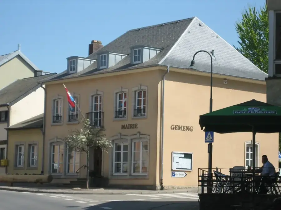
- Top sights: Jakobuskierch · Intepéilchen · Saint-Pierre
- Nearby: Bous (6 km)
Best time to visit & climate
The most pleasant time to visit is Jun–Aug.
| Jan | Feb | Mar | Apr | May | Jun | Jul | Aug | Sep | Oct | Nov | Dec | |
|---|---|---|---|---|---|---|---|---|---|---|---|---|
| Avg °C | 1 | 1 | 5 | 9 | 13 | 17 | 19 | 19 | 15 | 10 | 5 | 2 |
| Rain mm | 67 | 57 | 57 | 46 | 70 | 68 | 65 | 72 | 56 | 65 | 68 | 79 |
📋 Practical info
Geography
Explore nearby
Notable places around
Route planner — Car & Motorhome
Where do you start? We build the route here, with stops and country notes along the way.
© OpenStreetMap contributors · OpenRouteService
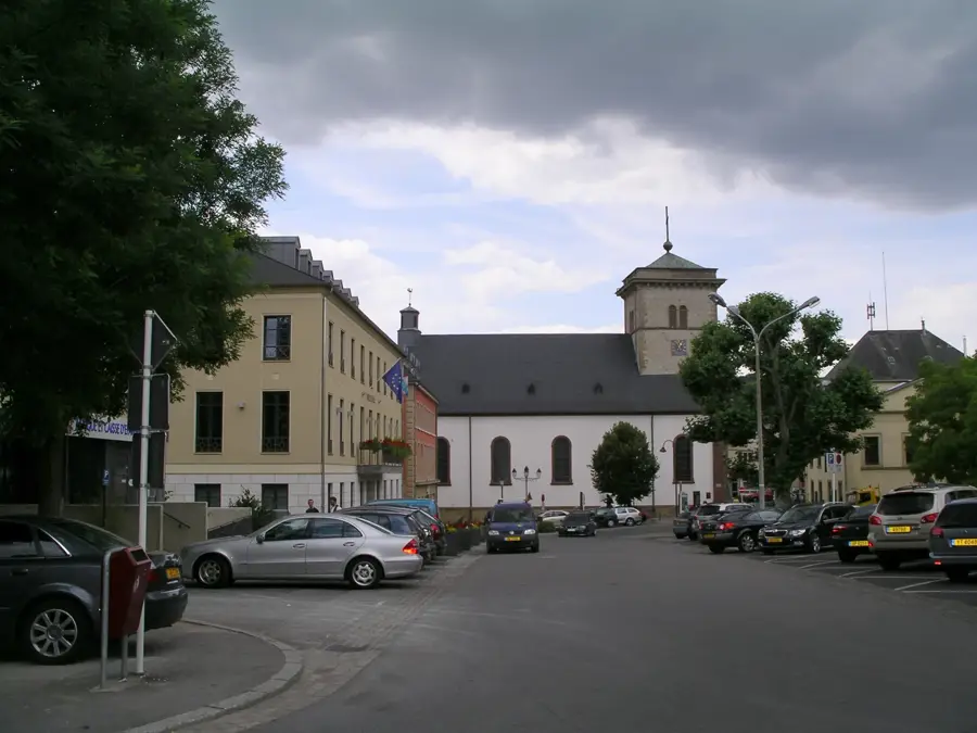
Sights in the town Greiveldange Hills (5)
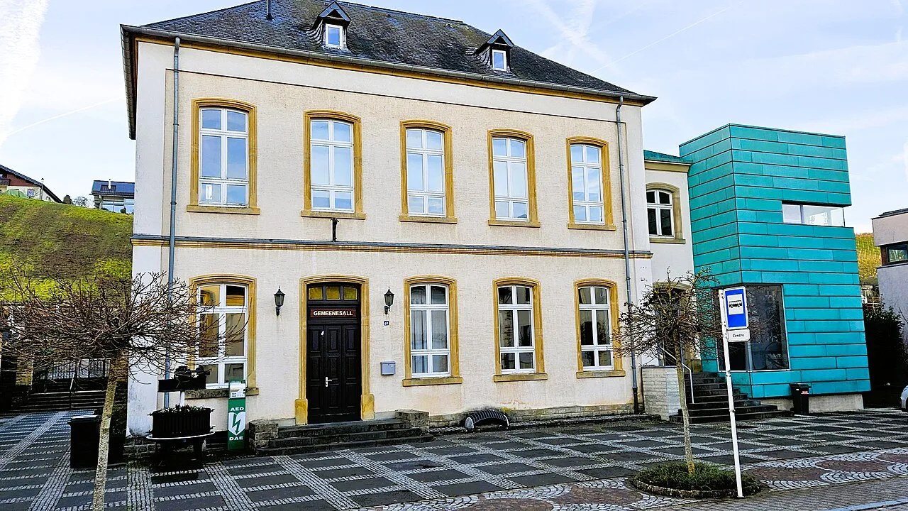
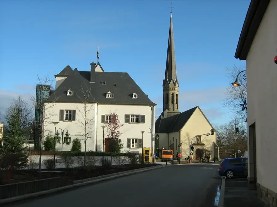
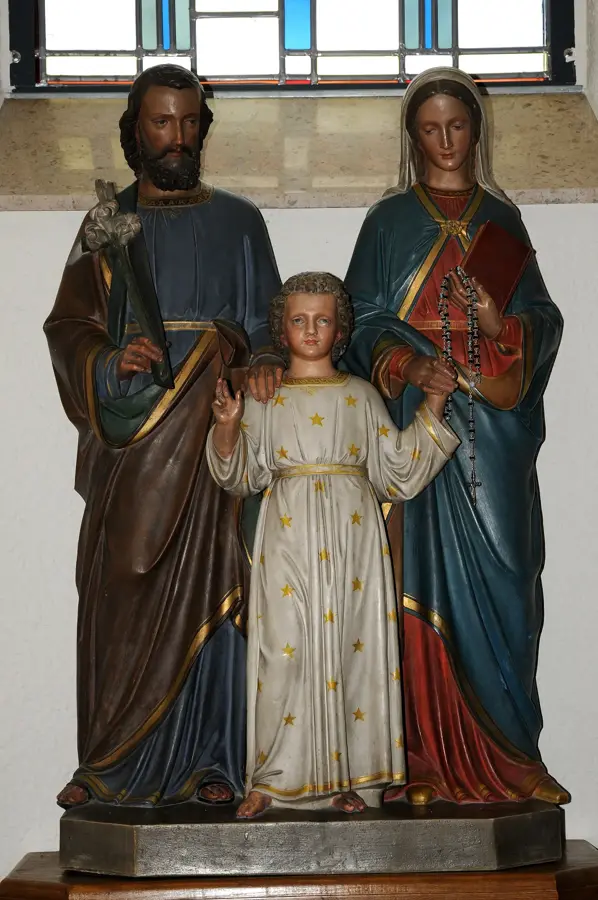
Saint-Michel
Saint-Michel is a church building in Luxembourg.
Sights nearby
Frequently asked questions
What is the landscape like near Greiveldange?
Are there special hiking trails in these hills?
Is the region famous for wine?
What is the best way to reach Greiveldange?
Are the hiking trails tiring?
Greiveldange Hills: where is it located?
Greiveldange Hills: what is there to see?
Greiveldange Hills: when is the best time to visit?
Greiveldange Hills: why is it worth visiting?

Nearby cities

History & landmarks
Nature
More places