Plizio Visual Lab
Adolphe Bridge
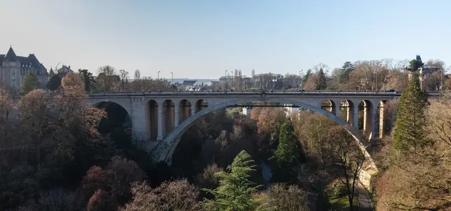
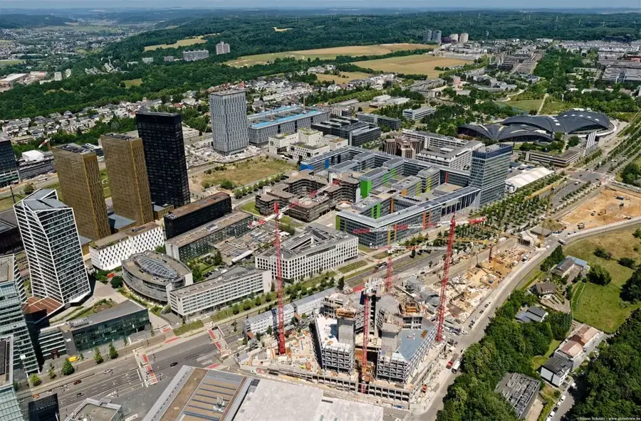
The Adolphe Bridge, a landmark of Luxembourg City, is an impressive stone arch bridge that spans the Pétrusse valley, connecting the city centre (Ville Haute) with the railway station district (Gare). When it opened in 1903, its 85-metre span made it the largest stone arch bridge in the world, a masterpiece of engineering by Paul Séjourné and Albert Rodange. The bridge, named after Grand Duke Adolphe, who reigned during its construction, is distinguished by its elegant double arches. Between 2014 and 2017, the bridge was extensively renovated and widened to meet modern traffic requirements. In the process, a new, lighter steel structure was suspended beneath the historic road deck to create an additional lane for a new tram line, as well as wider footpaths and cycle paths. This sensitive modernisation has managed to preserve the historic appearance while ensuring functionality for the 21st century.
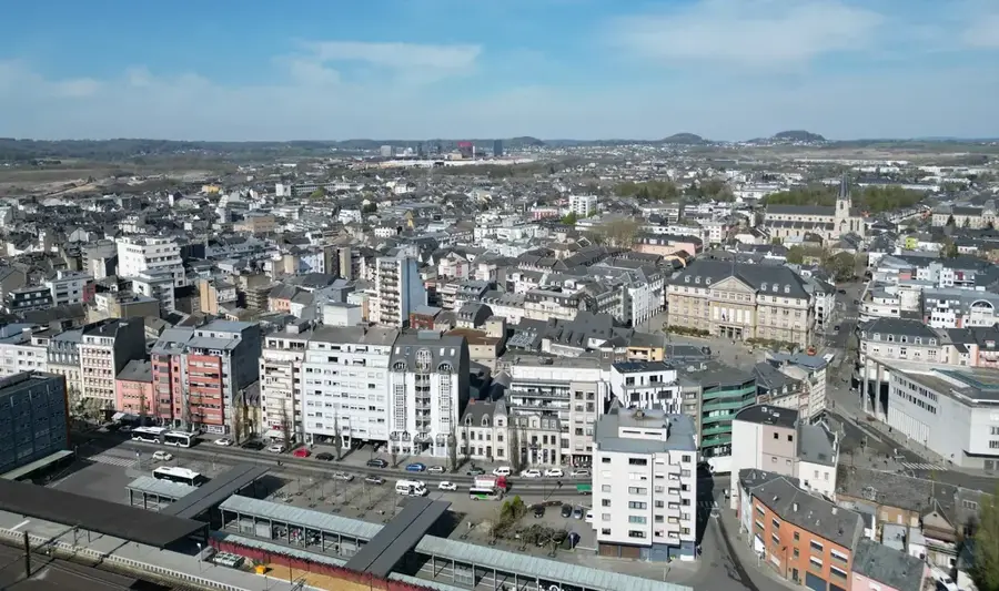
- Location: Luxembourg
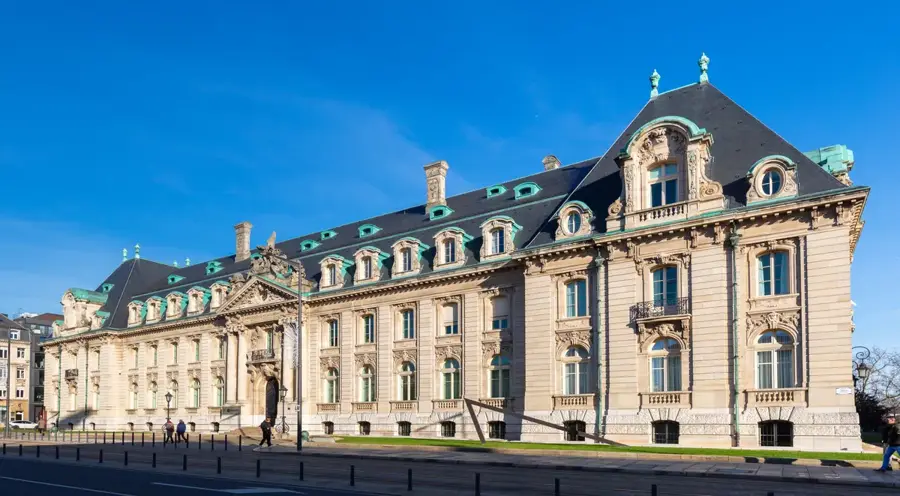
- Top sights: Pont Adolphe · Priedegtstull · Ravelin Pâté
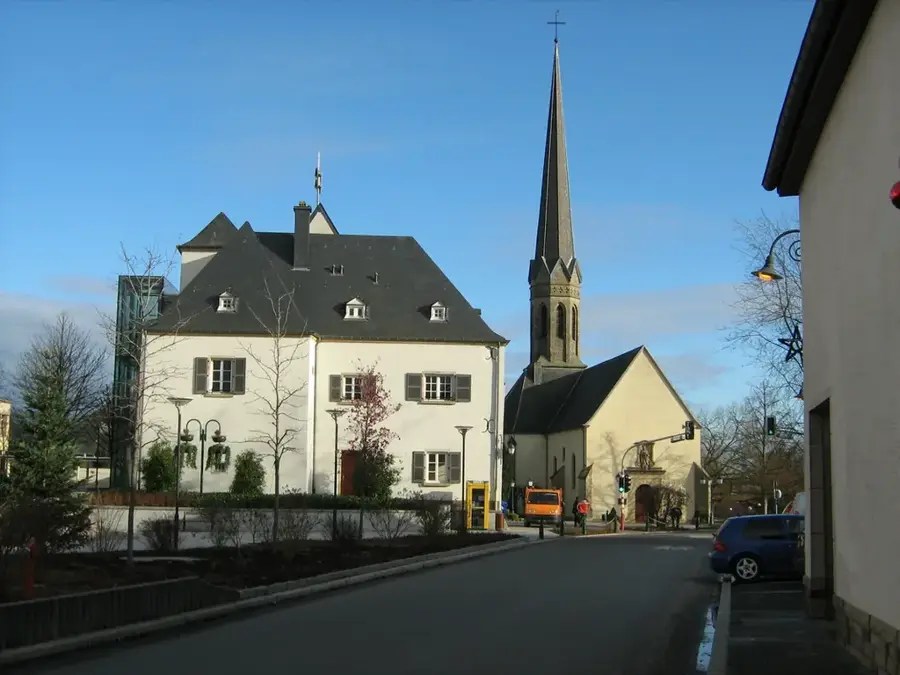
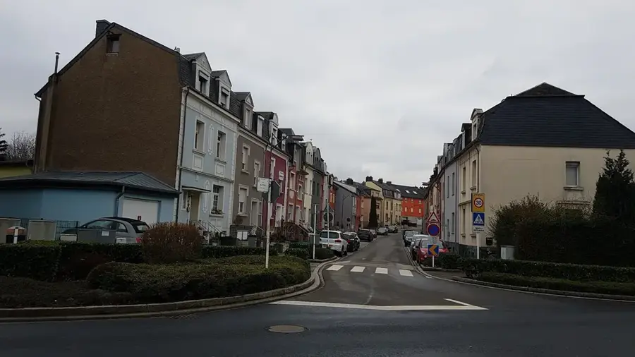
- Nearby: Strassen (4 km)
Best time to visit & climate
The most pleasant time to visit is Jun–Aug.
| Jan | Feb | Mar | Apr | May | Jun | Jul | Aug | Sep | Oct | Nov | Dec | |
|---|---|---|---|---|---|---|---|---|---|---|---|---|
| Avg °C | 1 | 1 | 5 | 9 | 13 | 17 | 19 | 19 | 15 | 10 | 5 | 2 |
| Rain mm | 67 | 57 | 57 | 46 | 70 | 68 | 65 | 72 | 56 | 65 | 68 | 79 |
📋 Practical info
Geography
Explore nearby
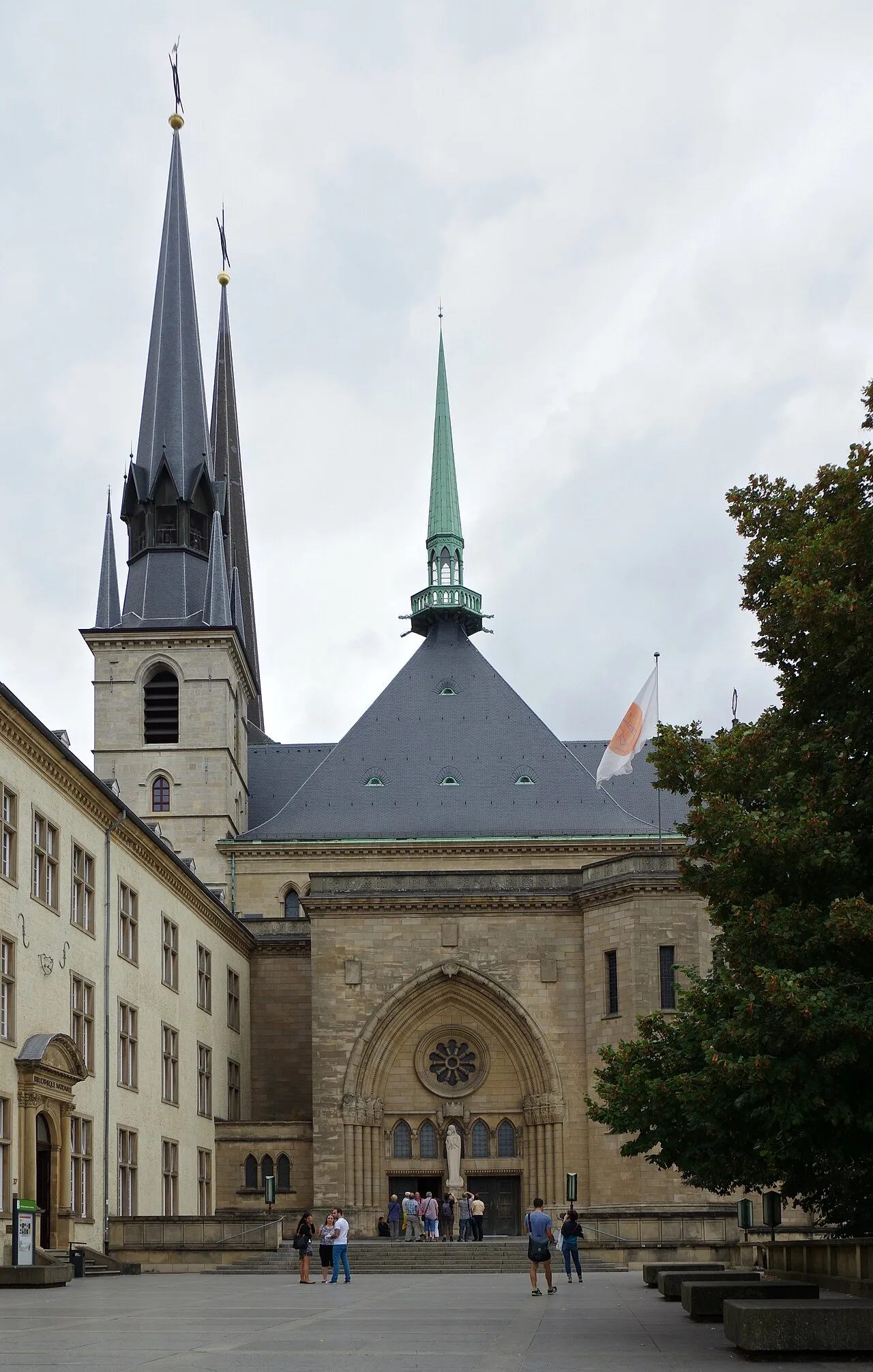
Notable places around
Route planner — Car & Motorhome
Where do you start? We build the route here, with stops and country notes along the way.
© OpenStreetMap contributors · OpenRouteService
Sights in the town Adolphe Bridge (10)
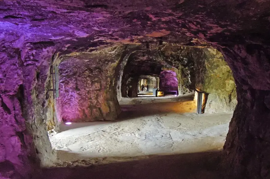
Fausse braie Beck-Jost
Fausse braie Beck-Jost is a viewpoint offering views of the fortifications.
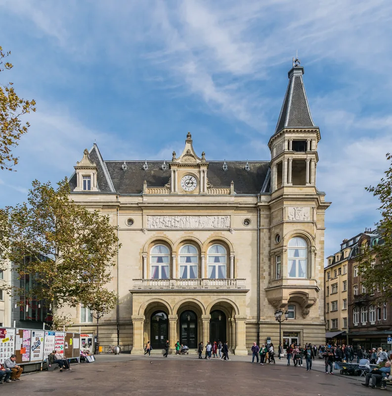
BCEE Clock Tower
BCEE Clock Tower is a clock tower in Luxembourg City, part of the BCEE bank.
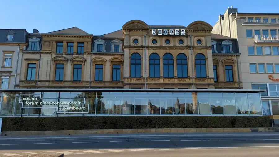
Casino Luxembourg - Forum d'art contemporain🏛 museum
Casino Luxembourg - Forum d'art contemporain is a contemporary art museum.
Musee de la Banque🏛 museum
Musee de la Banque shows the history of Luxembourg's financial centre and Spuerkeess.
Fort Bourbon
Fort Bourbon is a former fortification in Luxembourg City.
LOOK 360 panorama
LOOK 360 panorama is an observation platform with a 360-degree view of Luxembourg City.
Sights nearby
Frequently asked questions
Is there a bicycle path on the Adolphe Bridge?
When was the Adolphe Bridge built?
Which valley does the Adolphe Bridge span?
Is the bridge accessible to cars?
How large is the main arch of the Adolphe Bridge?
Adolphe Bridge: where is it located?
Adolphe Bridge: what is there to see?
Adolphe Bridge: when is the best time to visit?
Adolphe Bridge: why is it worth visiting?

Nearby cities


History & landmarks
More places