Plizio Visual Lab
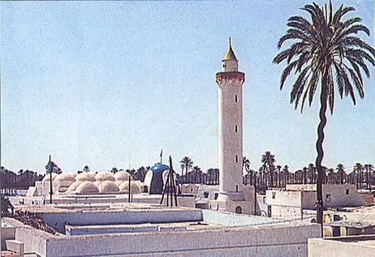
Jebel Tarhuna

Weather…
Water temperature…
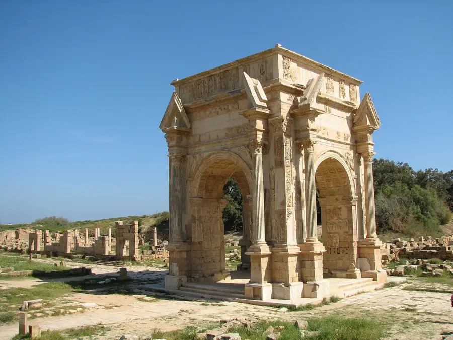
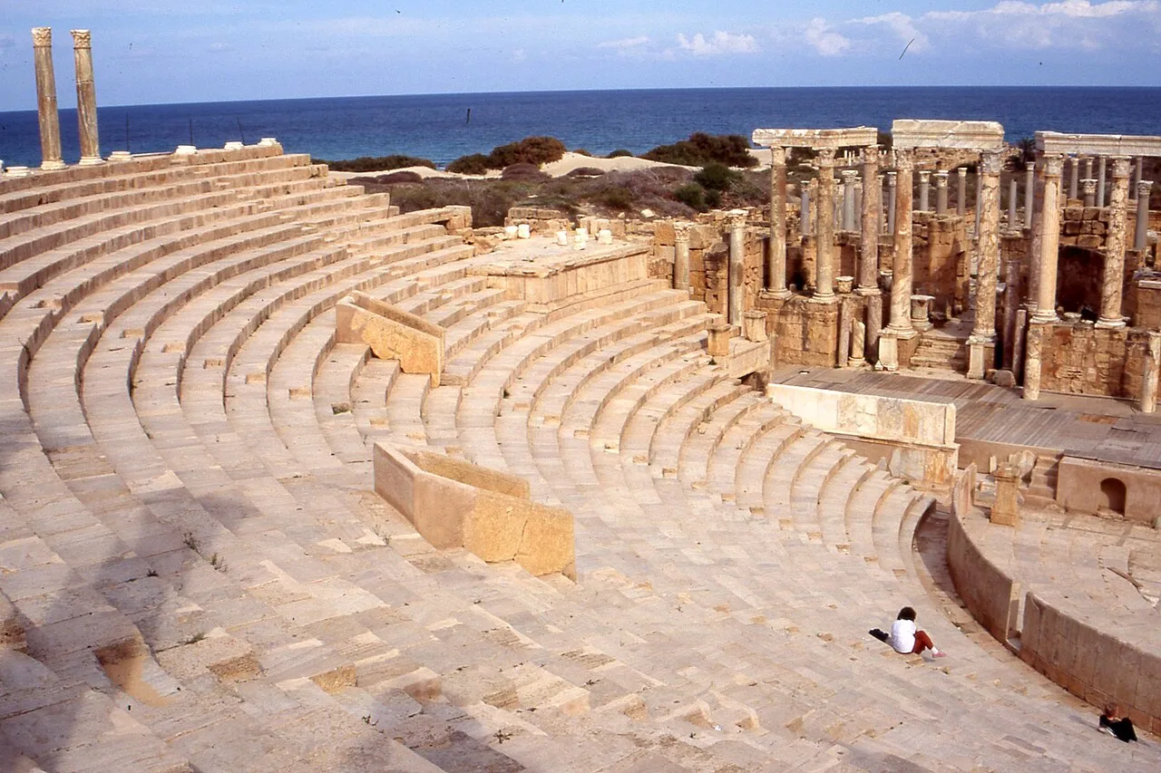
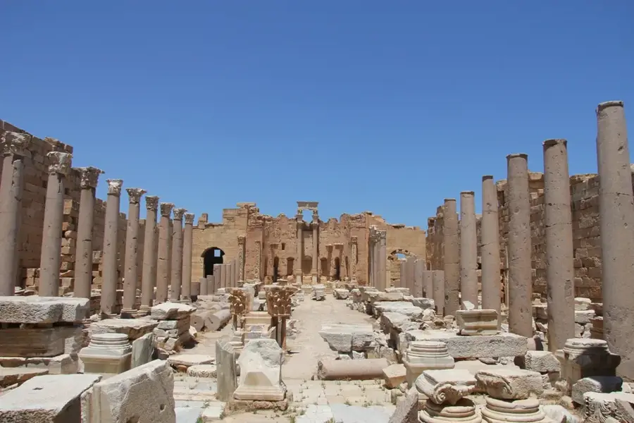
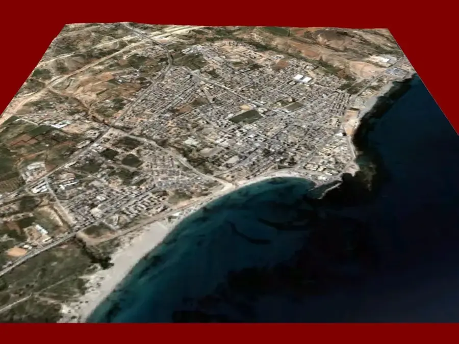
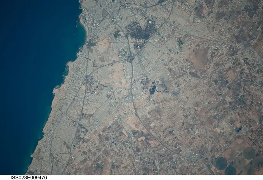
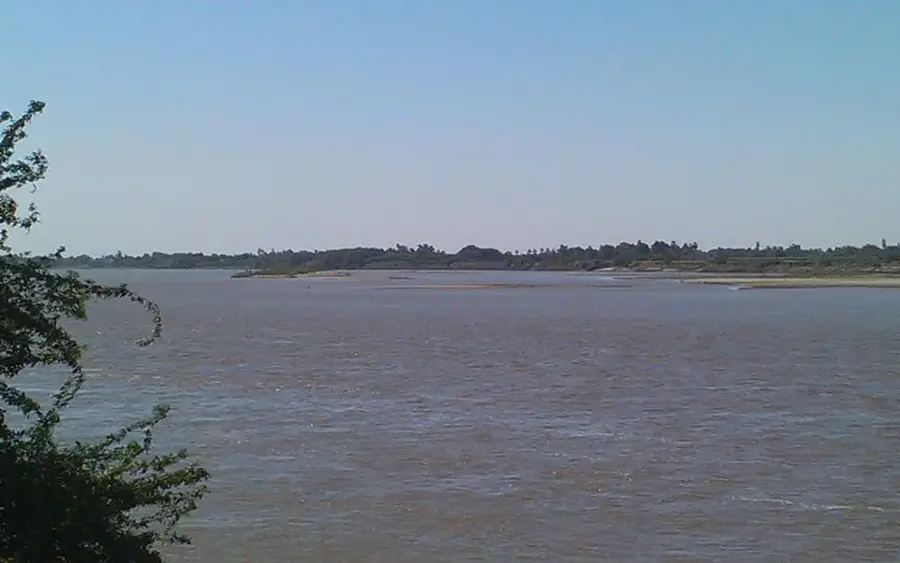
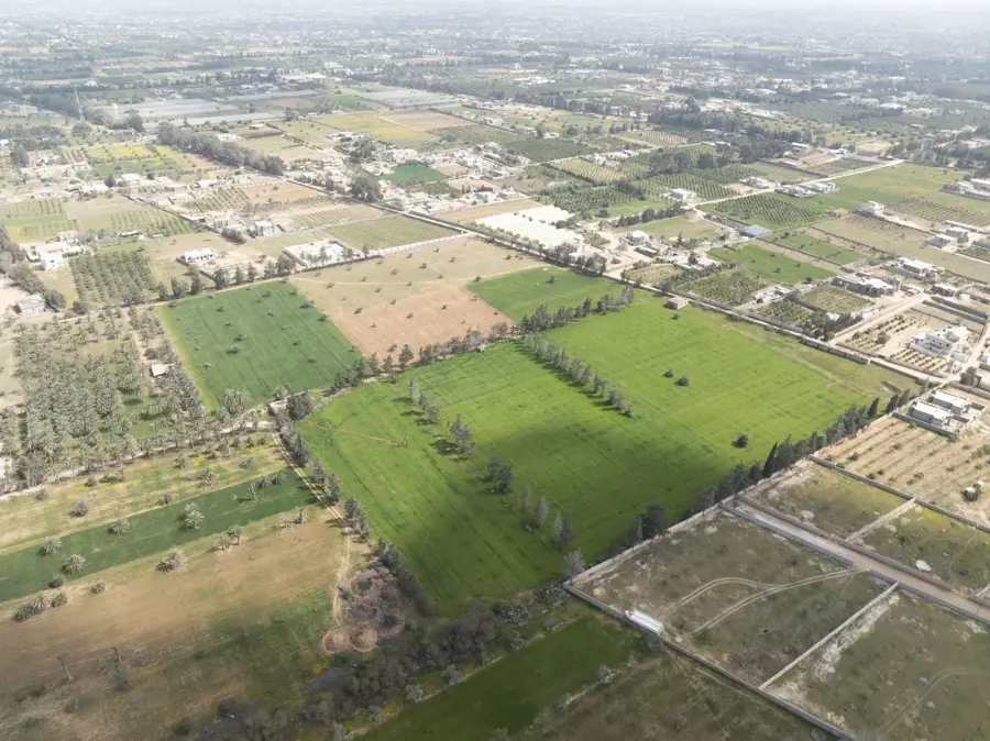
Jebel Tarhuna is a significant part of the Tripolitanian plateau in northwestern Libya, forming the eastern extension of the Jebel Nafusa mountain system. This region is historically renowned for its highly developed ancient agriculture, particularly the large-scale cultivation of olive trees during the Roman era. Numerous ruins of ancient oil presses and farms testify to the former economic prosperity of this area, which served as a granary for coastal cities such as Leptis Magna. The landscape is characterized by rolling hills, fertile valleys, and limestone formations reaching an elevation of approximately 500 meters. The climate is milder compared to the interior, facilitating the cultivation of cereals and fruits alongside olives. In recent history, Tarhuna played an important role in the resistance against colonial efforts and remains a cultural center for local tribes. Geologically, the area belongs to Cretaceous formations, providing insights into the sedimentary layers of northwestern Libya. The city of Tarhuna itself serves today as the administrative hub for the surrounding agricultural region.
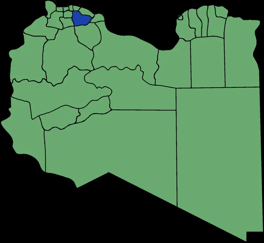
- Location: Libya
- Nearby: Tarhuna (15 km)
Best time to visit & climate
The most pleasant time to visit is Apr, May, Oct.
| Jan | Feb | Mar | Apr | May | Jun | Jul | Aug | Sep | Oct | Nov | Dec | |
|---|---|---|---|---|---|---|---|---|---|---|---|---|
| Avg °C | 12 | 12 | 15 | 18 | 22 | 26 | 28 | 29 | 27 | 23 | 18 | 13 |
| Rain mm | 49 | 40 | 23 | 9 | 5 | 2 | 1 | 2 | 27 | 33 | 29 | 49 |
📋 Practical info
Geography
Facts
- Over 100 ancient Roman farm sites have been identified in the region.
- The average elevation of the plateau is approximately 500 meters.
- Tarhuna was a vital center of olive oil production in the 2nd century CE.
- The annual rainfall is sufficient to support dry-land farming techniques.
- The area consists primarily of Mesozoic limestone and marl sediments.
- Historically, the region was the homeland of the influential Tarhuna tribes.
Explore nearby
Notable places around
Route planner — Car & Motorhome
Where do you start? We build the route here, with stops and country notes along the way.
© OpenStreetMap contributors · OpenRouteService
Sights nearby
Frequently asked questions
What characterizes Jebel Tarhuna?
How far is it from Tripoli?
Can you go hiking there?
What is the most important local product?
Are there any accommodation options?
Jebel Tarhuna: where is it located?
Jebel Tarhuna: when is the best time to visit?
Jebel Tarhuna: why is it worth visiting?

Nearby cities

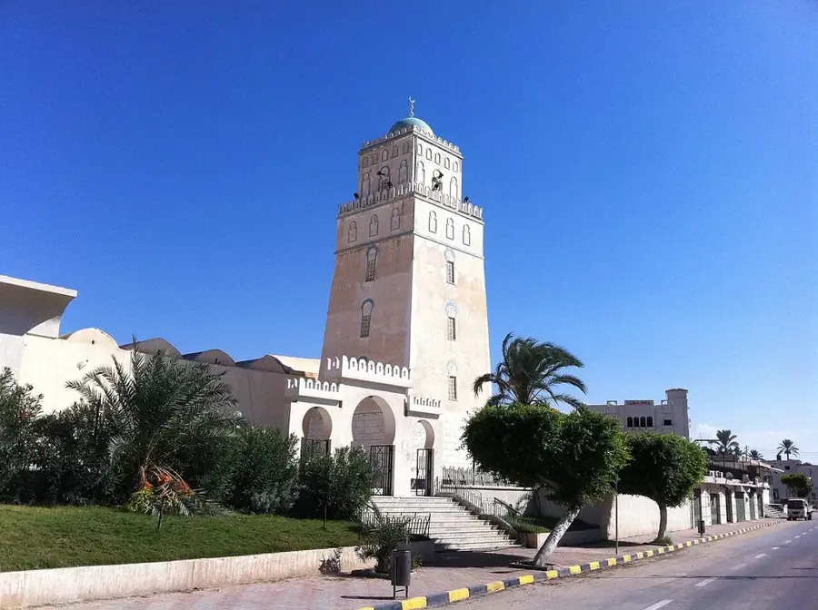
History & landmarks

More places