Plizio Visual Lab
Kosti Ridge

Weather…
Water temperature…
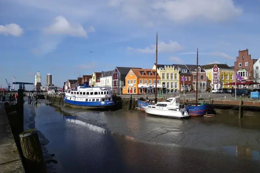
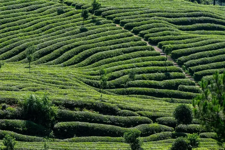
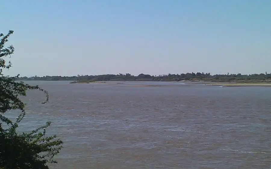
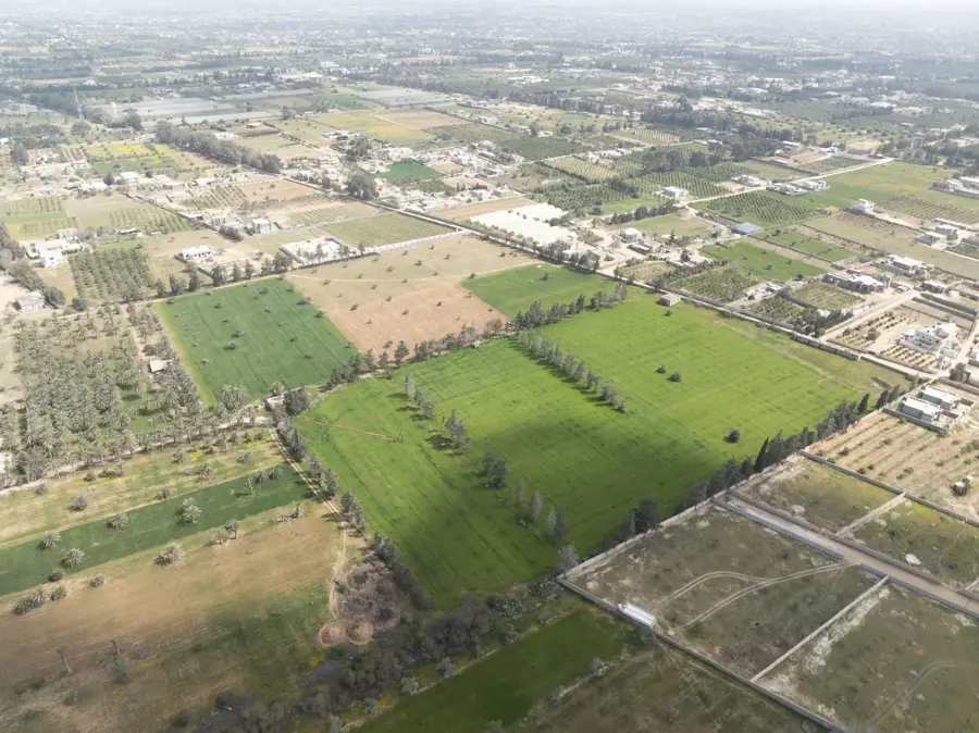
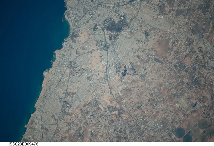
The Kosti Ridge is a topographical elevation near the city of Kosti on the west bank of the White Nile in White Nile State. This geological formation significantly influences the course of the river and forms a natural barrier in the otherwise flat clay savanna. Historically, the location on the ridge was crucial for the development of Kosti as an important transportation hub, as it provided protection against the seasonal flooding of the Nile. The region is characterized by sedimentary deposits that are of great importance for agriculture, particularly cotton and sugar cane cultivation. Geologically, the ridge is part of the Kordofan swell, which separates the White Nile basin from the western desert areas. Today, the area surrounding the Kosti Ridge is a vital economic center, playing a key role in Sudanese trade through the railway bridge over the Nile and the river port.
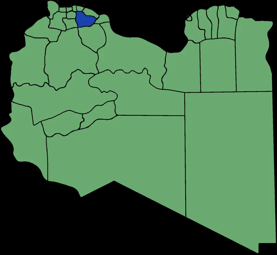
- Location: Sudan
- Nearby: Kosti (8 km)
Best time to visit & climate
The most pleasant time to visit is Jan, Feb, Dec.
| Jan | Feb | Mar | Apr | May | Jun | Jul | Aug | Sep | Oct | Nov | Dec | |
|---|---|---|---|---|---|---|---|---|---|---|---|---|
| Avg °C | 25 | 28 | 30 | 33 | 34 | 32 | 29 | 28 | 29 | 31 | 28 | 26 |
| Rain mm | 0 | 0 | 0 | 2 | 25 | 41 | 117 | 130 | 66 | 27 | 1 | 1 |
📋 Practical info
Geography
Facts
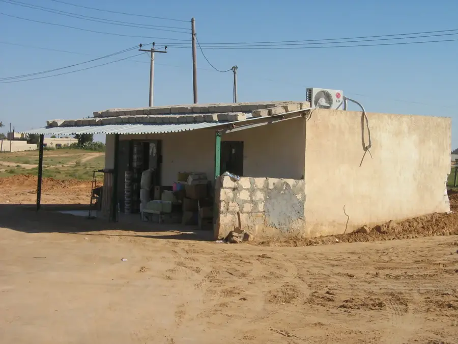
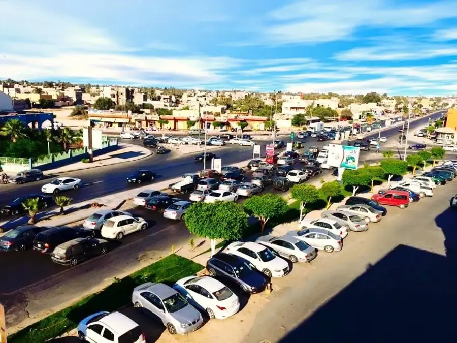
- Kosti is a central river port on the White Nile.
- The city was founded in 1899 during the Anglo-Egyptian Sudan period.
- The ridge protects the settlement from the annual Nile floods.
- A railway bridge built in 1910 connects Kosti with Rabak.
- The region is known for the Kenana sugar factory, one of the largest worldwide.
- The Kosti Ridge sits at approximately 380 meters above sea level.
Explore nearby
Notable places around
Route planner — Car & Motorhome
Where do you start? We build the route here, with stops and country notes along the way.
© OpenStreetMap contributors · OpenRouteService
Sights in the town Kosti Ridge (1)
Sights nearby
Frequently asked questions
What is the Kosti Ridge?
Is it good for hiking?
Is the place easy to find?
When is the best time to visit?
Are special precautions needed?
Kosti Ridge: where is it located?
Kosti Ridge: when is the best time to visit?
Kosti Ridge: why is it worth visiting?

Nearby cities
History & landmarks


More places