Plizio Visual Lab
Salala
ℹ️Practical info — Salala
▾
🌤 Weather — 5 days
📍 Nearby
Sights nearby
💡 Tips
- As a bustling stopover town, expect a busy atmosphere along the main highway.
- The area is surrounded by rubber plantations; you can observe the tapping process on walks just outside town.
- Bargaining is expected for any items not explicitly priced in local shops or at roadside stands.
- It's an excellent place to pick up fresh fruits and travel snacks directly through the window of your vehicle.
🍽 Food
The ultimate Liberian road trip snack, sold freshly roasted by roadside vendors.
A well-known West African classic, easily found at larger cookshops along the main road.
Simple but delicious, often served with a fiery local pepper sauce.
🛍 Shopping · 🧘 Quiet spots
Bustling and busy, great for fresh produce, peanuts, and travel snacks.
Sold by local merchants, these colorful fabrics make great souvenirs.
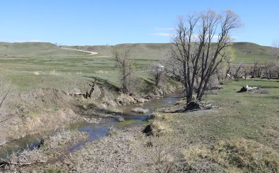
The quieter backroads lined with rows of mature rubber trees offer a peaceful escape.
Step just a few streets away from the bustling highway for immediate rural tranquility.
Water temperature…
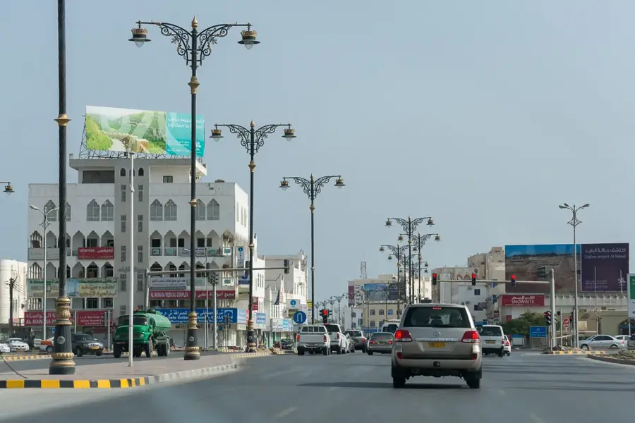
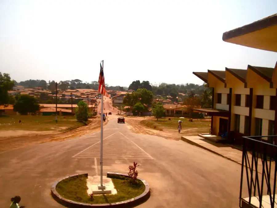
Salala is situated in the heart of Bong County, functioning as a vital commercial hub in central Liberia. Its prominence is largely due to its strategic location along the main highway connecting the capital, Monrovia, with the country’s interior and the Guinean border. This accessibility has made Salala a primary collection and trading point for regional agricultural commodities, including rubber, cocoa, and various food crops. The city serves as a bridge between the coastal economy and the rural hinterlands, supporting a bustling market scene that draws people from throughout the central province. Beyond trade, Salala is an administrative center for the local district, providing essential services to the surrounding farming communities. For travelers, the city provides a genuine look at Liberian life outside the capital, characterized by the constant movement of goods and people along the country’s most important transport corridor.
- Location: Liberia
- Nearby: Totota (6 km)
Best time to visit & climate
The most pleasant time to visit is Jan, Feb, Dec.
| Jan | Feb | Mar | Apr | May | Jun | Jul | Aug | Sep | Oct | Nov | Dec | |
|---|---|---|---|---|---|---|---|---|---|---|---|---|
| Avg °C | 25 | 26 | 27 | 27 | 26 | 25 | 24 | 24 | 24 | 25 | 25 | 25 |
| Rain mm | 16 | 40 | 78 | 109 | 158 | 276 | 282 | 407 | 300 | 229 | 101 | 36 |
Geography
Facts
- Population: 10,000 (2022 estimate).
- Coordinates: 6°45′N 9°30′W (approximate).
- Elevation: 200 meters (656 feet).
- Annual rainfall: 2,900 mm (114 inches).
- The main road through Salala is paved (part of the Monrovia-Gbarnga highway).
- Salala has a weekly market every Saturday.
Explore nearby
Notable places around
Route planner — Car & Motorhome
Where do you start? We build the route here, with stops and country notes along the way.
© OpenStreetMap contributors · OpenRouteService
Frequently asked questions
Where is Salala located?
What is the economic base of Salala?
Can you stay overnight in Salala?
Is medical care available in Salala?
What is there to do near Salala?
Salala: where is it located?
Salala: when is the best time to visit?
Salala: why is it worth visiting?

Nearby cities


History & landmarks
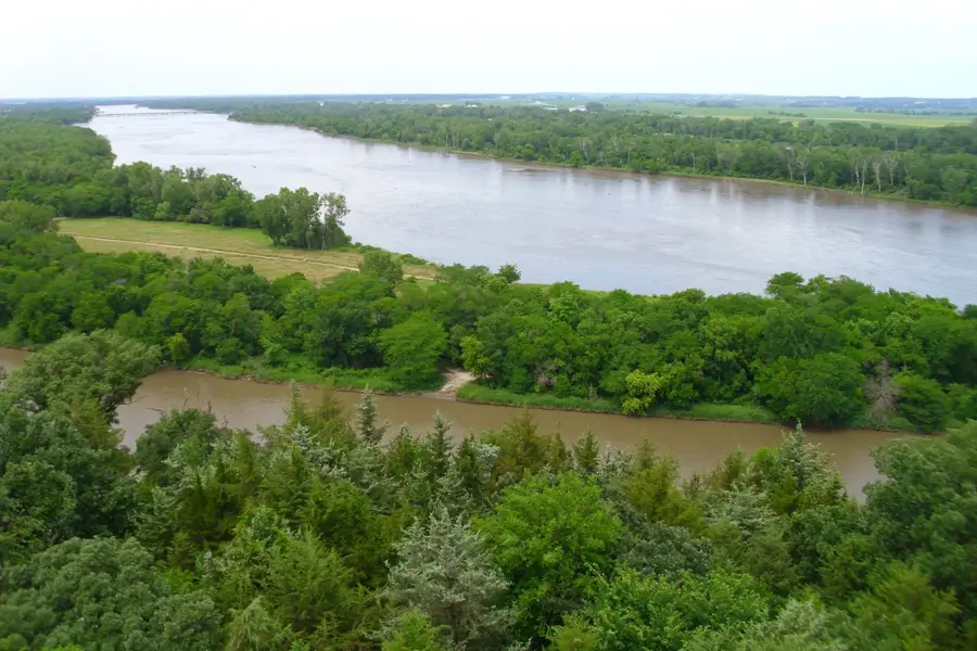
Nature
More places