Plizio Visual Lab
Piso Lake Wetlands

Weather…
Water temperature…
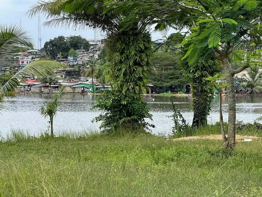
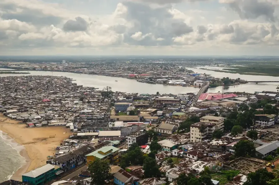
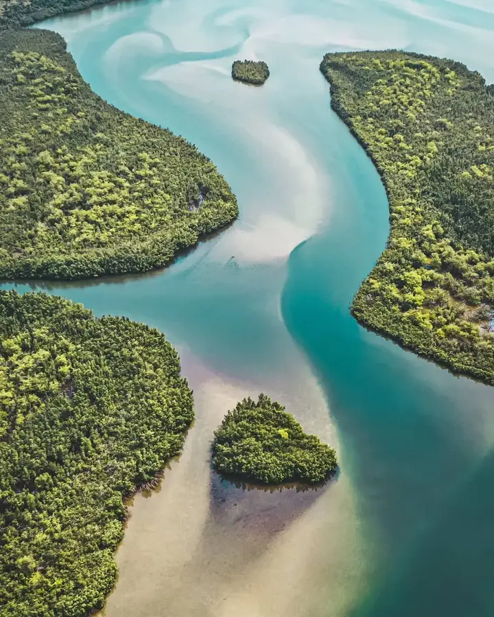
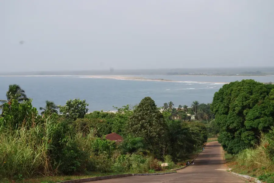
Piso Lake in central Liberia is the country's second-largest lake, covering 100 km² within a tectonic basin. Fed by the St. Paul River, it has a mean depth of only 3 m and is fringed by extensive papyrus swamps and floodplain forests. The wetland complex hosts African clawless otters, Nile crocodiles, and large waterbird colonies, including African darters and herons. Local fishing communities harvest up to 1,000 tons of fish annually. Invasive water hyacinth (Eichhornia crassipes) covers 30% of the lake surface, hampering transport and oxygenating the water. The lake experiences seasonal flooding from June to November. Conservation groups advocate for Ramsar designation to protect its biodiversity.
- Location: Liberia
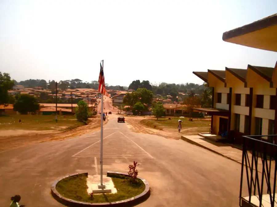
- Nearby: Robertsport (7 km)
Best time to visit & climate
The most pleasant time to visit is Jan, Feb, Dec.
| Jan | Feb | Mar | Apr | May | Jun | Jul | Aug | Sep | Oct | Nov | Dec | |
|---|---|---|---|---|---|---|---|---|---|---|---|---|
| Avg °C | 27 | 27 | 27 | 27 | 27 | 26 | 25 | 25 | 25 | 26 | 27 | 27 |
| Rain mm | 6 | 14 | 28 | 40 | 95 | 229 | 317 | 442 | 278 | 203 | 69 | 28 |
📋 Practical info
Geography
Facts
- Area: 100 km².
- Maximum depth: 5 m.
- Mean depth: 3 m.
- Fish catch: 1,000 tons per year.
- Water hyacinth cover: 30% of surface.
- Bird species: over 200.
Explore nearby
Notable places around
Route planner — Car & Motorhome
Where do you start? We build the route here, with stops and country notes along the way.
© OpenStreetMap contributors · OpenRouteService
Sights nearby
Frequently asked questions
What are the Piso Lake Wetlands?
Are these areas internationally recognized?
What animals live in the swamps?
Is fishing allowed there?
How are the mangroves protected?
Piso Lake Wetlands: where is it located?
Piso Lake Wetlands: when is the best time to visit?
Piso Lake Wetlands: why is it worth visiting?

Nearby cities


History & landmarks


Nature

More places