Plizio Visual Lab
Mano River Valley

Weather…
Water temperature…
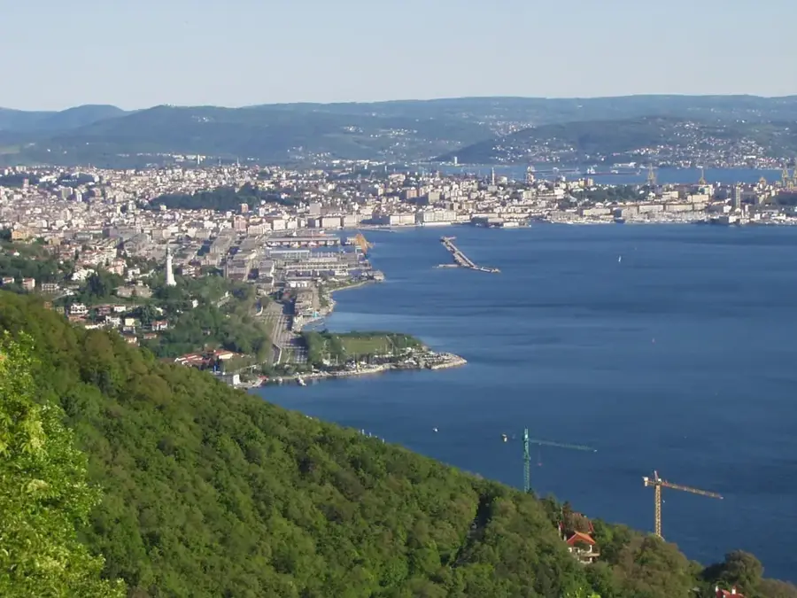
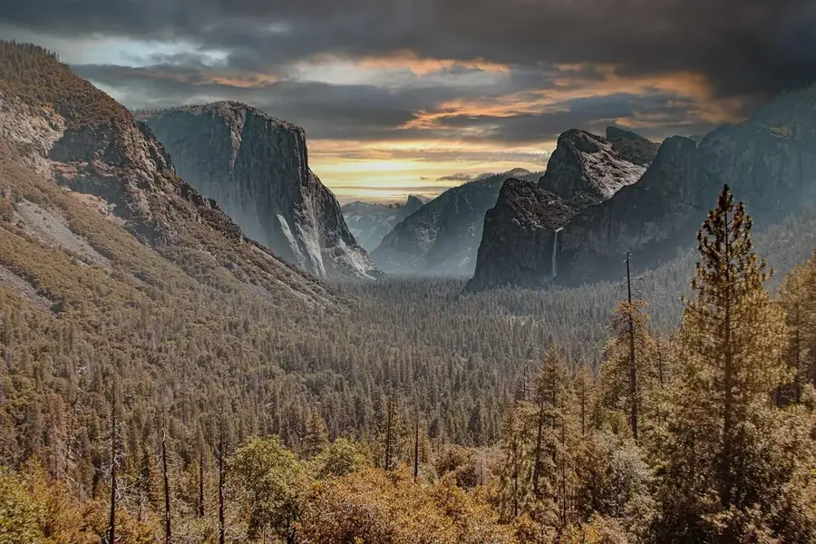
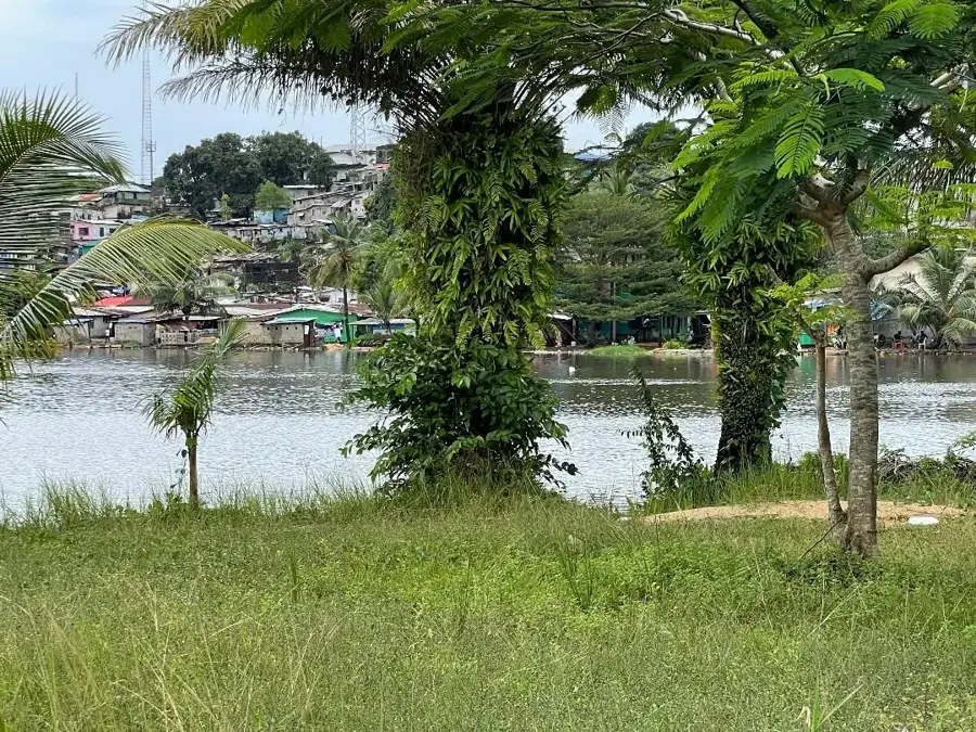
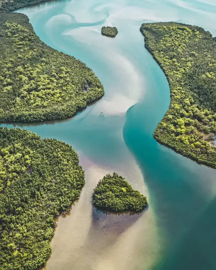
The Mano River Valley is a significant geographical feature that serves as a long natural boundary between Liberia and Sierra Leone. Carved by the winding waters of the Mano River, the valley is characterized by steep slopes and a floor blanketed in some of the region's most pristine tropical rainforests. This dense forestation creates a vital habitat for a wide array of wildlife, making the valley a key area for biodiversity conservation in West Africa. Historically, the valley has been a zone of both connection and separation, influencing trade patterns and the movement of peoples across the border. The challenging terrain has largely discouraged large-scale industrial development, allowing the natural landscape to remain relatively undisturbed. For the inhabitants of the surrounding districts, the river is a primary source of water and fish, while the valley's fertile banks support small-scale farming activities. Today, the Mano River Valley is a focus of transboundary cooperation, as both nations work together to protect the river's water quality and the surrounding forest ecosystems from the pressures of deforestation and illegal resource extraction.
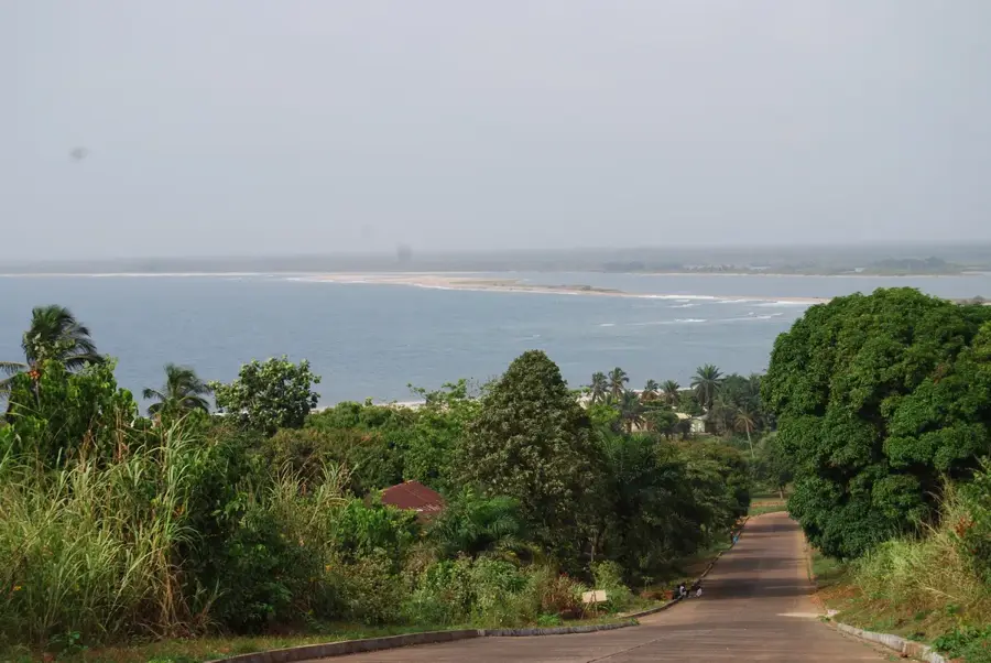
- Location: Liberia
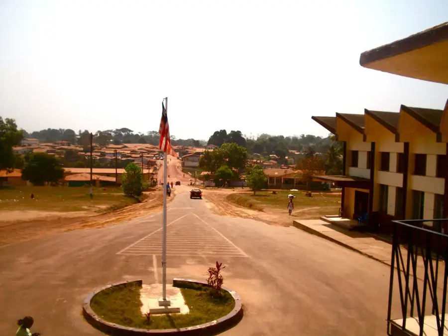
- Nearby: Robertsport (31 km)
Best time to visit & climate
The most pleasant time to visit is Jan, Feb, Dec.
| Jan | Feb | Mar | Apr | May | Jun | Jul | Aug | Sep | Oct | Nov | Dec | |
|---|---|---|---|---|---|---|---|---|---|---|---|---|
| Avg °C | 27 | 27 | 27 | 27 | 27 | 26 | 25 | 25 | 25 | 26 | 27 | 27 |
| Rain mm | 6 | 14 | 28 | 40 | 95 | 229 | 317 | 442 | 278 | 203 | 69 | 28 |
📋 Practical info
Geography
Facts
- Mano Dam capacity: 10 MW
- Rainfall: 3.200 mm/year
- Iron ore reserves: 500 Mt
- Illegal mining sites: 20
- Watershed area: 4.000 km²
- Border length: 150 km
Explore nearby
Notable places around
Route planner — Car & Motorhome
Where do you start? We build the route here, with stops and country notes along the way.
© OpenStreetMap contributors · OpenRouteService
Sights nearby
Frequently asked questions
What is the Mano Valley?
Is the valley easily accessible?
What is the security situation?
Can you go boating there?
What do you need to bring?
Mano River Valley: where is it located?
Mano River Valley: when is the best time to visit?
Mano River Valley: why is it worth visiting?

Nearby cities


History & landmarks

Nature


More places