Plizio Visual Lab
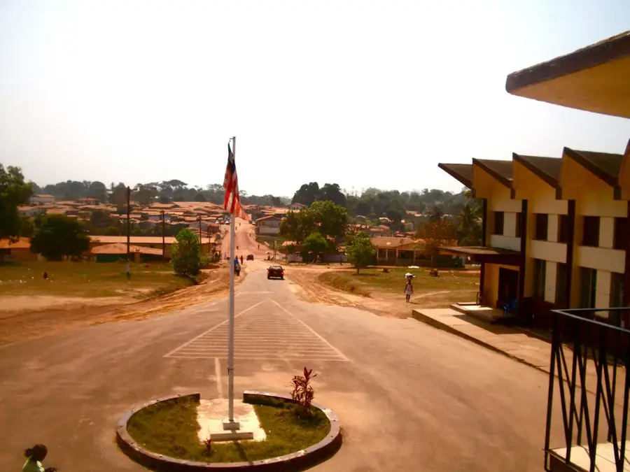
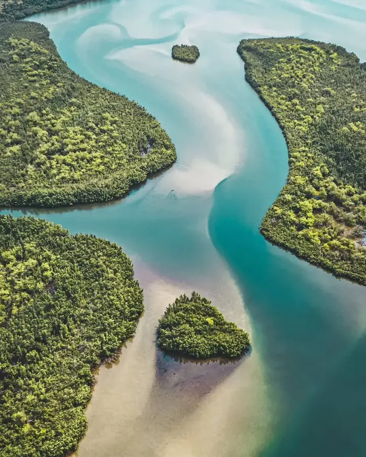
Lofa River

Weather…
Water temperature…
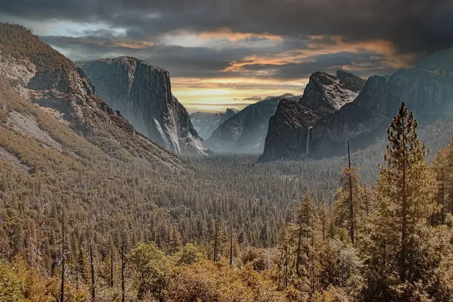
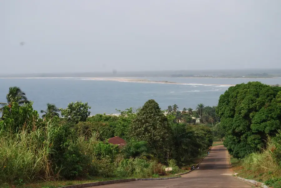
The Lofa River is a major waterway in northwestern Liberia, originating in the Guinea Highlands and flowing southwest towards the Atlantic Ocean. It carves its path through some of the country's most pristine rainforests, serving as a vital ecological artery for the Lofa and Gbarpolu counties. The river is renowned for its biodiversity, providing a habitat for diverse fish species and supporting a wide array of wildlife along its lush banks. Local communities rely heavily on the Lofa for sustenance through fishing and for transportation in areas where land routes are limited. Its flow is characterized by dramatic seasonal changes, with powerful currents during the peak of the rainy season that transform the landscape. As a primary water source and a corridor for biodiversity, the Lofa River remains one of the most significant natural features in the West African region.
- Location: Liberia
- Nearby: Tubmanburg Mining Support (42 km)
Best time to visit & climate
The most pleasant time to visit is Jan, Feb, Dec.
| Jan | Feb | Mar | Apr | May | Jun | Jul | Aug | Sep | Oct | Nov | Dec | |
|---|---|---|---|---|---|---|---|---|---|---|---|---|
| Avg °C | 27 | 27 | 27 | 27 | 27 | 26 | 25 | 25 | 25 | 26 | 27 | 27 |
| Rain mm | 6 | 14 | 28 | 40 | 95 | 229 | 317 | 442 | 278 | 203 | 69 | 28 |
📋 Practical info
Geography
Facts
- Length: 180 km
- Basin area: 4,000 km²
- Average discharge: 40 m³/s
- Rice paddies: 50 km²
- Fish production: 200 tons/year
- Dams: 3
Explore nearby
Notable places around
Route planner — Car & Motorhome
Where do you start? We build the route here, with stops and country notes along the way.
© OpenStreetMap contributors · OpenRouteService
Sights nearby
Frequently asked questions
What is the significance of the Lofa River?
Are there nature reserves by the river?
Is access to the river difficult?
Can you observe fish there?
What should visitors keep in mind?
Lofa River: where is it located?
Lofa River: when is the best time to visit?
Lofa River: why is it worth visiting?

Nearby cities


Nature


More places