Plizio Visual Lab
Lowland Rainforest Zone
Weather…
Water temperature…
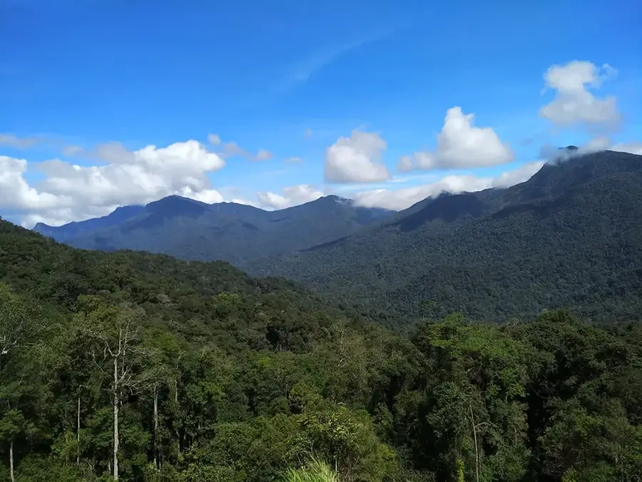
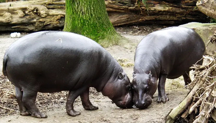
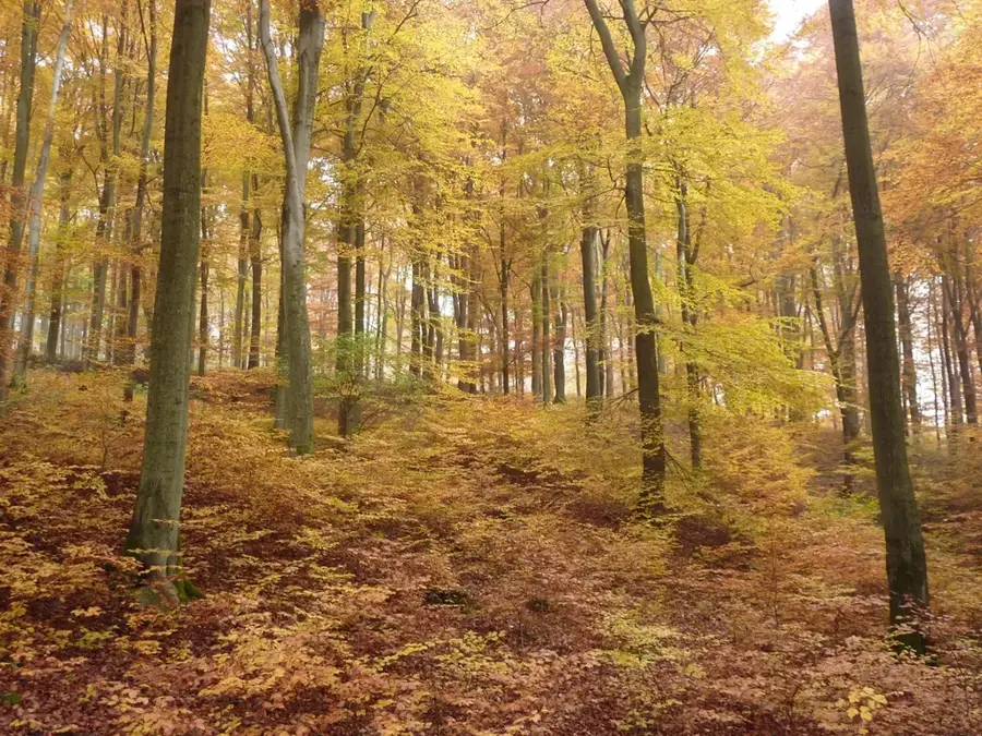
Liberia's Lowland Rainforest Zone constitutes the core of the Upper Guinean forest, one of the world's biodiversity hotspots. Characterized by low elevation (<500 m), high rainfall (2,500-4,000 mm), and a distinct wet season, this ecosystem supports immense biodiversity, including over 600 bird species and 1,500 plant taxa. The forest canopy reaches 50 m with emergent trees like the African teak (Milicia excelsa). This zone provides vital ecosystem services such as carbon storage (estimated 2.5 billion tons) and water regulation. However, logging and agricultural expansion have reduced forest cover by 30% since 2000. Protected areas cover only 15% of the zone, leaving many species vulnerable.
- Location: Liberia
- Nearby: Tutu (16 km)
Best time to visit & climate
The most pleasant time to visit is Jan, Feb, Dec.
| Jan | Feb | Mar | Apr | May | Jun | Jul | Aug | Sep | Oct | Nov | Dec | |
|---|---|---|---|---|---|---|---|---|---|---|---|---|
| Avg °C | 25 | 26 | 27 | 26 | 26 | 25 | 24 | 24 | 24 | 25 | 26 | 25 |
| Rain mm | 25 | 61 | 107 | 130 | 189 | 253 | 144 | 182 | 225 | 229 | 123 | 57 |
📋 Practical info
Geography
Facts
- Elevation: below 500 m.
- Rainfall: 2,500–4,000 mm annually.
- Rainy season: April–October.
- Canopy height: 30–50 m.
- Carbon storage: estimated 2.5 billion tons.
- Forest loss: 30% since 2000.
Explore nearby
Notable places around
Route planner — Car & Motorhome
Where do you start? We build the route here, with stops and country notes along the way.
© OpenStreetMap contributors · OpenRouteService
Sights nearby
Frequently asked questions
What characterizes the lowland rainforest?
What animals are native here?
Is the rainforest easy to enter?
When does it rain the most?
Why is this forest globally important?
Lowland Rainforest Zone: where is it located?
Lowland Rainforest Zone: when is the best time to visit?
Lowland Rainforest Zone: why is it worth visiting?

Nearby cities


History & landmarks

Nature

More places